


Route Survey Near Me: How to Find Local Experts for Pipeline, Road, and Utility Projects
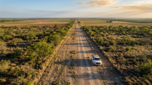
If you’ve searched for a “route survey near me” to support a highway, pipeline, or utility project in South Texas, you already know these jobs aren’t like a simple lot
Right-of-Way Survey Near Me: A South Texas Landowner’s Guide to Costs, Timing, and Peace of Mind
If you have searched for a “Right-of-Way Survey near me” in South Texas, chances are you are planning a road, pipeline, utility, or drainage project that crosses more than one
Professional ALTA Survey Services: Process & What’s Typically Included
If you’re buying commercial property, refinancing, or planning a development in the Rio Grande Valley, chances are someone has mentioned an ALTA survey. At Southpoint Geodetics, LLC, we know the
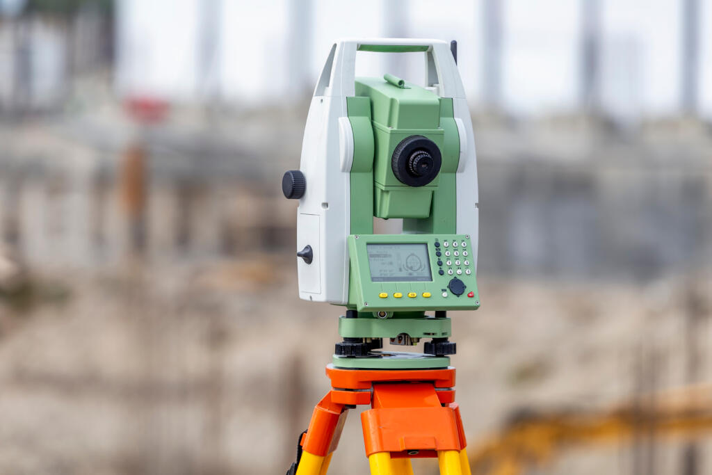
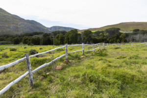
Easement Surveys
geoEasement Surveys Easement surveys accurately locate, define, and document access and utility rights across a property. Whether for pipelines, drainage, access roads, or utility corridors, our team determines the exact
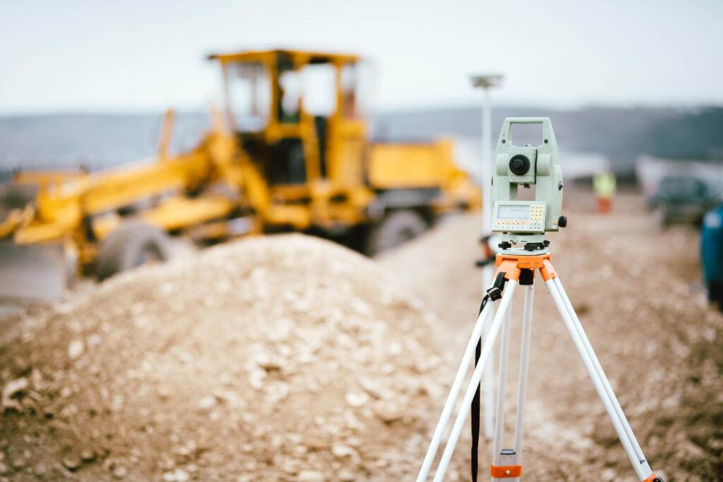
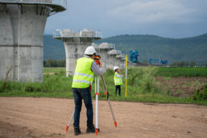
Route Survey
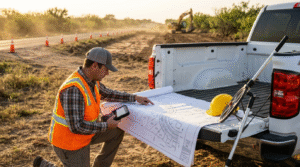
Route Survey A route survey provides the critical data needed to plan, design, and construct linear projects such as highways, pipelines, utility corridors, and drainage improvements. Our team establishes precise
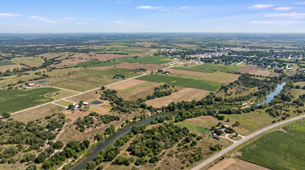
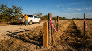
Right-of-Way Surveys
Right-of-Way Surveys (Parcel Plats & Metes & Bounds) Right-of-way surveys are essential for acquiring and defining land needed for public and private infrastructure projects such as roadways, pipelines, and utility
