
Professional land survey services for construction projects are critical, especially where the terrain leaves little margin for error. In the flat terrain of the Rio Grande Valley, relatively minor elevation variations can significantly alter drainage patterns and impact overall site performance. Boundary work can be equally complex, especially when older deeds predate existing fences, caliche roads, and irrigation ditches. Southpoint Geodetics, LLC provides property owners, builders, engineers, and developers with precise, documented site data—establishing what a South Texas property is today before plans determine what it will become.

Why Accurate Land Surveys Are Essential Before Construction Begins
Professional land survey services for construction projects establish the context in which a development must fit. Before design work advances, project teams need dependable information about property lines, elevations, visible improvements, access points, drainage patterns, and other relevant site conditions.
Without that information, assumptions can become practical conflicts. A proposed building may be too close to a setback line. A driveway could interfere with an easement. Existing grades may not support the intended drainage design. On larger tracts, an access route shown in preliminary plans might not align with conditions on the ground.
A survey does not replace architectural plans, engineering design, title review, permitting, or legal advice. Instead, it provides measured data that architects, engineers, contractors, title professionals, and local authorities can use when making project decisions. For that reason, the survey scope should be coordinated with the professionals responsible for the project.
South Texas sites present distinct considerations. Near the Rio Grande Valley, relatively small elevation differences can influence drainage across otherwise flat terrain. Rural acreage may include fences, irrigation features, access roads, and improvements that do not correspond precisely with record documents. Urban and developing areas around Brownsville may involve utility corridors, recorded easements, and construction on adjoining properties.
Property owners seeking a broader explanation of due diligence can read about why smart South Texas buyers never skip a professional land survey. Identifying site conditions and potential conflicts early gives the design team time to evaluate them before labor, materials, and equipment are committed. Once those baseline conditions are established, surveying continues to support the project through design, construction, and final verification.

Surveying Services Across the Construction Project Lifecycle
Surveying supports construction through several distinct stages, beginning with site research and existing-condition documentation and ending with verification of completed improvements. The appropriate service depends on the property, the design, contractual requirements, and the decisions that must be made at each stage. Clients can explore the full range of survey services we offer when planning a project scope with their professional team.
Boundary, Topographic, and Existing-Conditions Surveys
Boundary and topographic surveys answer two fundamental questions: Where is the property, and what currently exists on it?
A boundary survey establishes or retraces parcel lines using the legal description, record information, field evidence, and applicable professional standards. It may identify monuments, occupation lines, and visible improvements in relation to the boundary.
A topographic survey records the horizontal positions and elevations of relevant natural and constructed features. Depending on the agreed scope, these features may include buildings, pavement, sidewalks, fences, trees, drainage features, visible utilities, and changes in grade. Engineers and architects use this information to evaluate grading, drainage, access, and site layout.
Existing conditions should be documented before design assumptions become expensive revisions. When neighboring fences or improvements raise questions, addressing potential boundary conflicts early in the Rio Grande Valley can help owners understand measured site conditions before proceeding. A surveyor documents those findings, while attorneys or courts resolve legal ownership disputes when necessary.
After the design team has used this information to develop and approve the plans, surveying shifts from documenting the site to transferring the design onto the ground.
Construction Staking and Site Layout Services
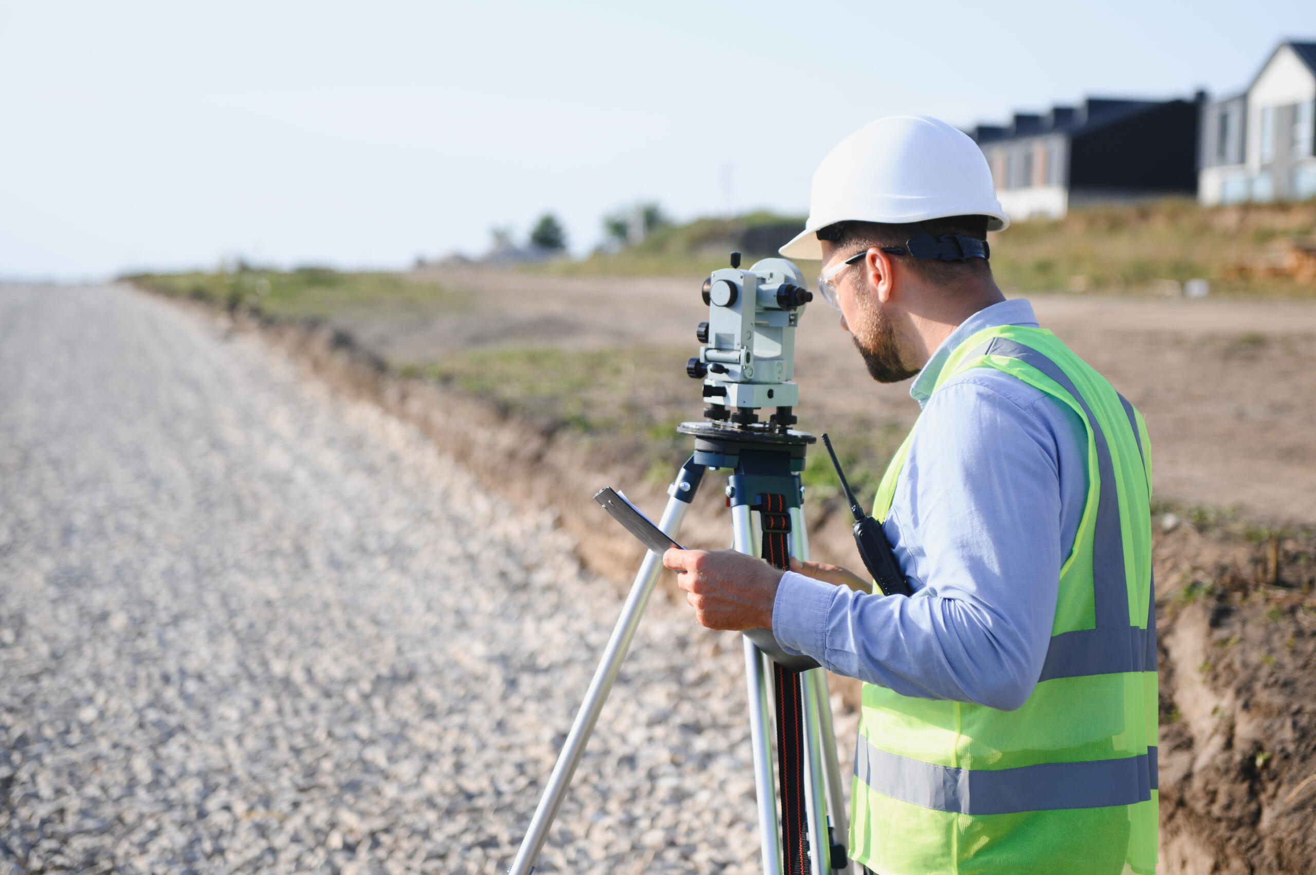
Construction staking transfers information from approved plans to the physical site. Survey crews establish field marks that guide contractors in locating project elements at specified horizontal positions and elevations. Depending on the project, layout may support building lines, roads, utilities, drainage structures, parking areas, or other designed improvements.
Reliable staking begins with coordinated, current plans. Before fieldwork, the surveyor typically needs the latest design files, control information, requested staking tolerances, site access details, and a clear description of what the contractor needs marked. If plans conflict or dimensions are incomplete, the responsible design professional should resolve those questions before staking proceeds.
Stakes can be disturbed by excavation, weather, vehicles, or routine site activity. Contractors should protect control points and confirm which marks remain reliable before using them. They should also request additional layout in time for each construction phase rather than assuming one mobilization will cover the entire project.
Coordinating survey work with other trades reduces avoidable downtime. Our article on scheduling professional land survey services early explains why advance planning is valuable when several parties depend on the same property information.
As construction progresses, the surveyor’s role may shift again—from placing design information in the field to documenting what was actually built.

As-Built Surveys and Final Project Verification
An as-built survey records selected improvements as they were constructed. It allows owners, engineers, contractors, agencies, and other authorized parties to compare completed work with approved plans, contract requirements, and applicable review criteria.
The required information varies by project. One project may need the locations and elevations of drainage improvements, while another may require documentation of utilities, pavement, structures, or site grading. Because concealed elements become difficult or impossible to measure after backfilling or paving, verification may need to occur in stages rather than only at the end of construction.
An as-built survey documents measured conditions. It does not automatically certify code compliance, construction quality, or engineering performance unless a defined scope and qualified professional specifically provide for that determination. Requirements may come from the owner, engineer, municipality, utility provider, lender, or project contract.
Before work begins, project teams should identify what must be documented, who will review it, and when measurements must occur. Readers can find additional resources in our blog about boundary, topographic, engineering, and land development survey considerations.
Obtaining the right information at each stage also depends on choosing a qualified surveyor and defining the scope clearly from the outset.
How to Choose a Surveyor and Prevent Costly Project Delays
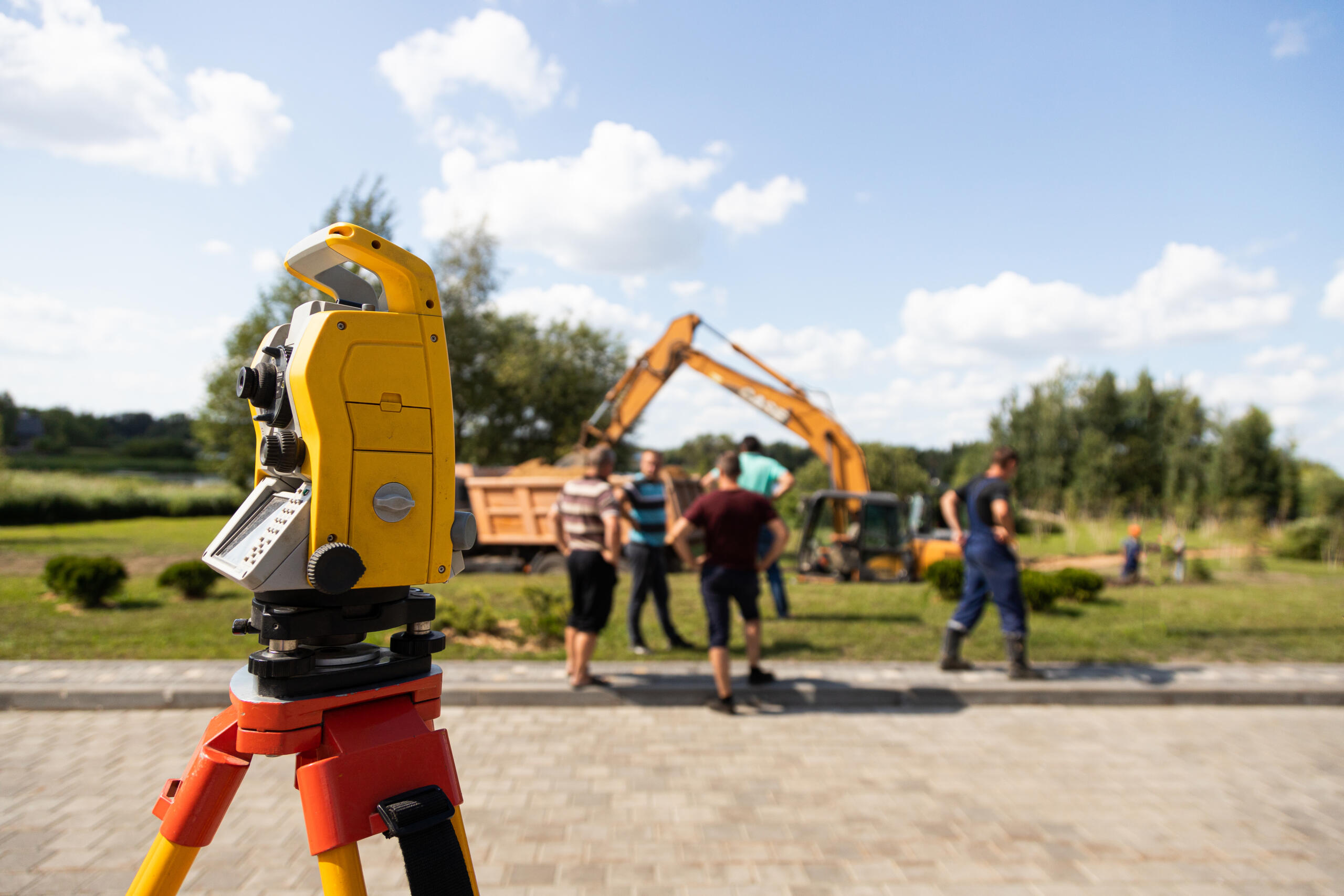
The right surveyor should be properly licensed for the work, familiar with the project type, and able to define the scope before fieldwork begins. In Texas, land surveying that falls within regulated professional practice must be performed under the authority of an appropriately registered professional land surveyor. Clients can confirm credentials through the Texas Board of Professional Engineers and Land Surveyors.
Before selecting a provider, we recommend discussing:
-
The property address, legal description, acreage, and intended construction
-
The specific survey deliverables required by the design team or reviewing authority
-
Available deeds, plats, title documents, civil plans, and digital design files
-
Site access, vegetation, livestock, locked gates, and active construction conditions
-
Expected field dates, review periods, revisions, and final delivery formats
-
Which party can answer engineering, architectural, title, or legal questions
Price matters, but proposals are comparable only when they cover the same scope. A lower fee may exclude research, site features, staking visits, certifications, or deliverable formats included in another proposal. Asking what each proposal includes is more useful than comparing totals alone.
Delays are also less likely when the project team shares accurate, current information. Revised plans should be distributed promptly, and superseded files should be clearly identified. Contractors should not ask survey crews to interpret design intent that requires an engineer’s decision. Likewise, owners should disclose known access restrictions or boundary concerns before the scheduled field visit.
Local familiarity can improve coordination across South Texas, particularly on rural tracts, active developments, and properties affected by regional drainage or irrigation systems. At Southpoint Geodetics, LLC, we work with owners and project professionals to clarify survey requirements, coordinate appropriate services, and provide dependable field information throughout the construction process. Addressing those details early creates a clearer path from initial site evaluation to final project documentation.
Conclusion
Construction decisions should be based on accurate site conditions. Professional land survey services for construction projects provide measured data intended to support site evaluation, design, construction layout, and final verification based on current site conditions.
Owners and builders can significantly reduce the likelihood of layout conflicts and make more informed decisions by defining the survey scope early, sharing current plans, and scheduling survey work for each phase. In South Texas, even minor elevation changes and existing property features can affect construction, making an accurate survey essential before work begins.
What are professional land survey services for construction projects?
Professional land survey services provide accurate measurements and documentation of property boundaries, terrain, elevations, and site features. This information supports planning, design, construction layout, and final project verification.
Why is an accurate land survey essential before starting construction?
An accurate land survey identifies property lines, elevations, drainage conditions, access points, and existing improvements. This information can help project teams identify potential design conflicts before construction begins.
What types of surveys are typically conducted during a construction project?
Common services include boundary surveys to establish or retrace property lines, topographic surveys to document terrain and site features, construction staking to transfer approved plans to the site, and as-built surveys to record completed improvements.
How do construction staking services support building projects?
Construction staking translates approved design information into physical field marks. These marks guide contractors in locating buildings, roads, utilities, drainage structures, and other improvements at the specified positions and elevations.
What should I consider when choosing a professional land surveyor?
Choose a properly licensed surveyor who is familiar with your project type, can clearly define the scope, and is prepared to coordinate with the design and construction teams. Confirm the required deliverables, schedule, site conditions, and number of anticipated field visits before work begins.
Can a professional land survey help with drainage planning in flat areas like South Texas?
Yes. A detailed topographic survey provides elevation data that engineers can use when evaluating drainage and grading. This information is particularly important in flat areas where relatively small elevation differences can affect how water moves across a site.