When you request professional land survey services in South Texas that property owners can trust, a qualified surveyor determines property boundaries by reviewing recorded documents and examining physical evidence on the land. A deed provides the property’s legal description, but only a survey can establish how those boundaries correspond to actual locations on the ground.
Understanding this distinction is essential when buying, selling, building, resolving boundary disputes, or planning around project deadlines. Southpoint Geodetics, LLC begins each project with three questions: What property needs to be surveyed? What decision will the survey support? When are the results needed? The answers help determine the appropriate scope and guide fieldwork aligned with standard professional practices and judgment.

When You Need a Professional Land Survey
You should request professional land survey services in South Texas when the location of something matters: a boundary, fence, easement, structure, utility, elevation, or drainage path.
That often happens before a purchase, sale, subdivision, construction project, or fence installation. It can also happen when a title company raises a question, a monument is missing, or a neighbor disagrees about a shared line.
The best time to survey is before uncertainty becomes a delay. A line that looks obvious in the field may not match the deed. A fence may reflect years of use rather than the legal boundary. An online parcel map may be useful for reference, but it is not a survey.
If your decision depends on where the property sits, measured field evidence matters. Our guide explains why informed South Texas buyers obtain a professional survey.
Start With the Question, Not the Survey Name
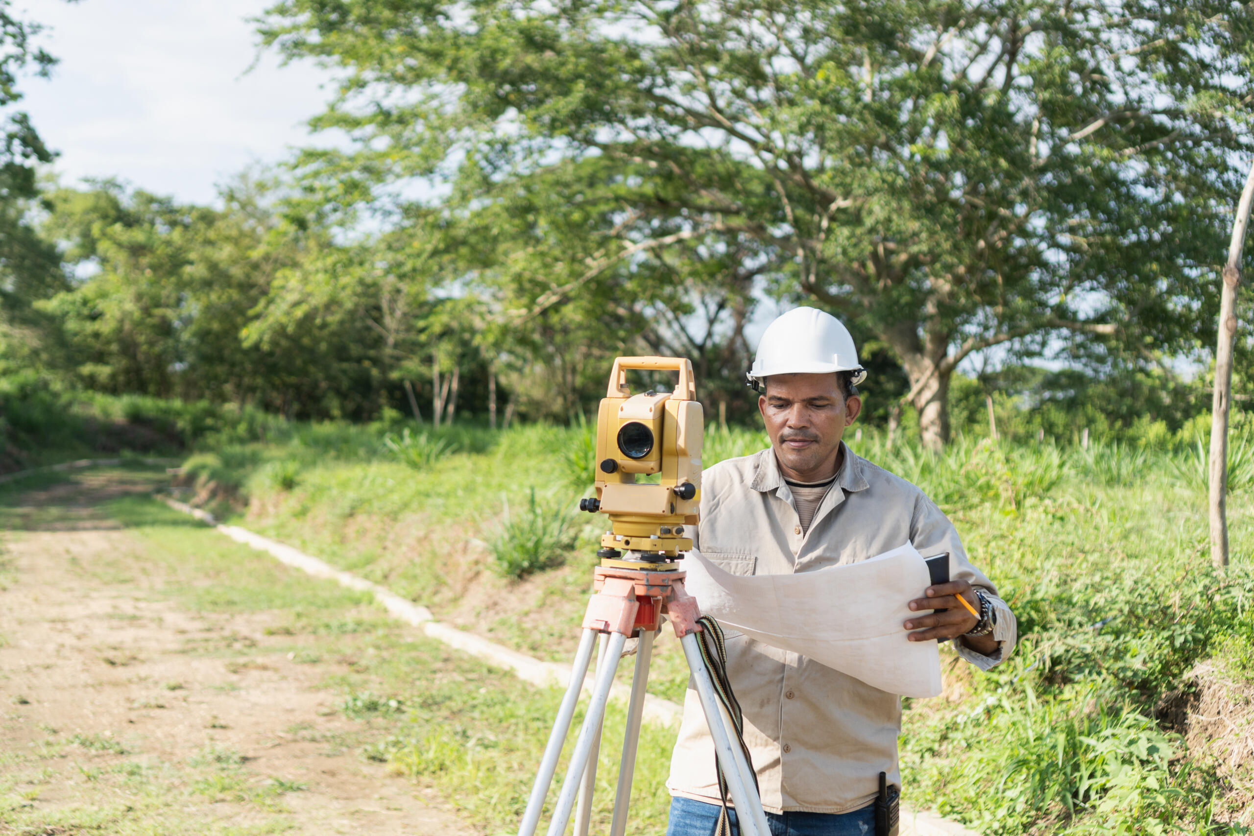
Clients do not need to know which survey to order before calling us. They need to know what they are trying to accomplish.
Are you buying commercial property? Building on a residential lot? Dividing acreage? Designing drainage improvements? Locating a shared boundary before installing a fence? Each question leads to a different scope.
A boundary survey retraces or marks parcel lines on the ground based on the legal description, recorded documents, field measurements, monuments, and other evidence. A topographic survey maps elevations and physical features for planning, engineering, or design.
An ALTA/NSPS Land Title Survey follows nationally recognized standards and is commonly requested for commercial real estate transactions. Construction staking, utility mapping, as-built surveys, elevation-related work, and farm and ranch surveys answer other project-specific questions.
Tell us the decision the survey must support. We can assist in defining the scope of work intended to support your objectives. You can also explore the range of survey services we offer.

What to Have Ready When You Call
A property address is a start. A deed is better. A clear deadline is essential.
The more we know at the beginning, the more accurately we can assess the scope, schedule, and cost. Gather what you have, even if the file is incomplete:
-
Property address and county
-
Current deed and complete legal description
-
Tax parcel or property identification number
-
Title commitment, if available
-
Previous plats, surveys, or site plans
-
Construction or engineering drawings
-
Reason for requesting the survey
-
Name of the party requiring it
-
Closing, design, or construction deadline
-
Information about locked gates, tenants, animals, or restricted access
Tell us about complications early. That includes a disputed line, missing markers, an unrecorded road, dense vegetation, planned improvements, or an area that cannot be entered without permission.
Known problems do not usually become cheaper when discovered in the field. Early disclosure helps us plan the work correctly.
What Happens After You Request a Survey
Every project is different, but the process usually follows five steps: scope, research, fieldwork, analysis, and delivery.
First, we identify the property and the decision that depends on the survey. We review the available documents, confirm the requested deliverable, and establish the project schedule.
Next comes record research. Depending on the assignment, that may include deeds, subdivision plats, easements, adjoining property descriptions, and other public records.
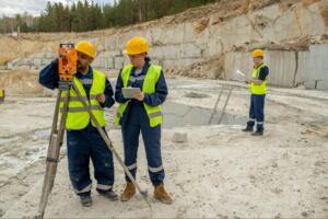
Then the field crew goes to the property. They search for relevant monuments, document visible conditions, and collect measurements using GPS and conventional surveying equipment appropriate for the site.
The measurements alone are not the answer. A Registered Professional Land Surveyor compares the field evidence with the record information and applies professional judgment. A fence, pin, deed call, or online map cannot be accepted in isolation.
Finally, we prepare the agreed deliverable and communicate significant findings. If the results raise a legal, title, engineering, or design issue, the next conversation may need to include an attorney, title company, engineer, architect, or other professional.
Deadlines matter, but fieldwork and boundary analysis cannot be reduced to a last-minute formality. Our scheduling guide explains how to request survey services while reducing closing stress.
What Determines Cost and Turnaround Time
Survey pricing is based on the work required, not acreage alone.
A small city lot can involve conflicting records, missing monuments, or extensive improvements. A large rural tract may have clear evidence and straightforward access. Until the property, purpose, and available records are reviewed, size tells only part of the story.

Common cost and scheduling factors include:
-
Survey type and required deliverable
-
Property size and shape
-
Quality and availability of records
-
Number of adjoining tracts
-
Presence or absence of monuments
-
Terrain and vegetation
-
Buildings, fences, utilities, and other improvements
-
Access restrictions
-
Boundary or title concerns
-
Weather and field conditions
-
Requested revisions or additional services
South Texas adds its own variables. Properties in Brownsville, Harlingen, and throughout the Rio Grande Valley may include resacas, drainage features, agricultural improvements, irregular subdivisions, dense vegetation, or older legal descriptions. Each condition affects how the work must be approached.
A useful estimate begins with a defined question and reliable property information. A generic price without a clear scope tells you very little.
If the concern involves a shared property line, read how a survey can clarify Rio Grande Valley boundary concerns early. You can also browse our blog for related property topics.
Choosing a South Texas Land Surveyor
Start with the license. Then ask about experience, scope, timing, and communication.
Professional surveying in Texas must be performed under the responsible charge of a Registered Professional Land Surveyor authorized to practice in the state. That qualification matters because boundary work involves evidence and judgment, not just equipment.
Local experience matters too. South Texas surveyors regularly work with regional subdivision histories, farm and ranch tracts, drainage systems, changing development patterns, and records that vary widely in age and quality.
Before accepting a proposal, ask four questions:
-
What work is included?
-
What deliverable will I receive?
-
What documents or access do you need from me?
-
What could change the cost or completion date?
A clear proposal should define both the work and its limits. The lowest number is not necessarily the lowest risk if the scope does not answer the question you need resolved.
Southpoint Geodetics, LLC utilizes regional experience, GPS technology, conventional field methods, and professional judgment aimed at defining practical survey scopes. We begin with the property, the decision, and the deadline.
Request Professional Land Survey Services in South Texas
When you request professional land survey services in South Texas, do not begin by guessing which survey you need. Begin with the decision in front of you.
Send us the property information, available documents, intended use, and required completion date. We will review the details and identify an appropriate scope for the transaction or project.
A survey cannot eliminate every property issue. It can show you what the available records and field evidence support before you build, buy, sell, divide, or disagree.
That is the value of surveying: replacing assumptions with measured information.
When should I request a land survey?
Request a survey as soon as you know a property decision will depend on boundaries, easements, improvements, elevations, or terrain. Starting early allows time for research, fieldwork, analysis, and any questions that follow.
What information do I need to request a survey?
Provide the property address, county, current deed, complete legal description, survey purpose, and deadline. Previous surveys, plats, title documents, site plans, and access information are also helpful.
Which type of survey do I need?
The right survey depends on the decision being made. Boundary surveys address parcel lines, topographic surveys document terrain and physical features, and ALTA/NSPS surveys support qualifying land title matters. Explain your objective so the surveyor can define the correct scope.
Can an online parcel map confirm my property line?
No. Online parcel maps are general reference tools and may not accurately represent a boundary on the ground. A professional boundary determination requires record research, field evidence, measurements, and evaluation by a Registered Professional Land Surveyor.
How long does a land survey take in South Texas?
Timing depends on the survey type, property conditions, record availability, access, weather, and current workload. Providing complete information and requesting the work before a closing or construction deadline helps reduce avoidable delays.
How much does a South Texas land survey cost?
Cost depends on the required scope, acreage, property shape, terrain, vegetation, access, monuments, improvements, and record complexity. A surveyor must review the property and intended use before providing a meaningful estimate.
Why should I hire a Registered Professional Land Surveyor?
A Registered Professional Land Surveyor is qualified and authorized to perform professional surveying work in Texas. The surveyor evaluates records, measurements, monuments, occupation, and other evidence to reach defensible conclusions within the agreed scope.