
Professional land survey services in Brownsville, TX measures and maps a property’s boundaries, dimensions, and physical features conducted by a licensed surveyor. It establishes the exact legal limits of your land, identifies encroachments, and provides the documentation needed for real estate transactions, construction permits, and legal disputes.
Too many property owners in Brownsville discover too late that skipping a land survey was a costly mistake. Without knowing your exact boundaries, you risk building in the wrong location, losing land to encroachments, or facing permit rejections that stall your project. At Southpoint Geodetics, LLC, we help property owners across the Rio Grande Valley understand their boundaries, protect their rights, and make decisions they can stand behind.
Why Land Surveys Are Critical for Brownsville Properties
A land survey answers one question: where exactly is your property line? For homeowners and investors alike, that answer shapes nearly every decision that follows.
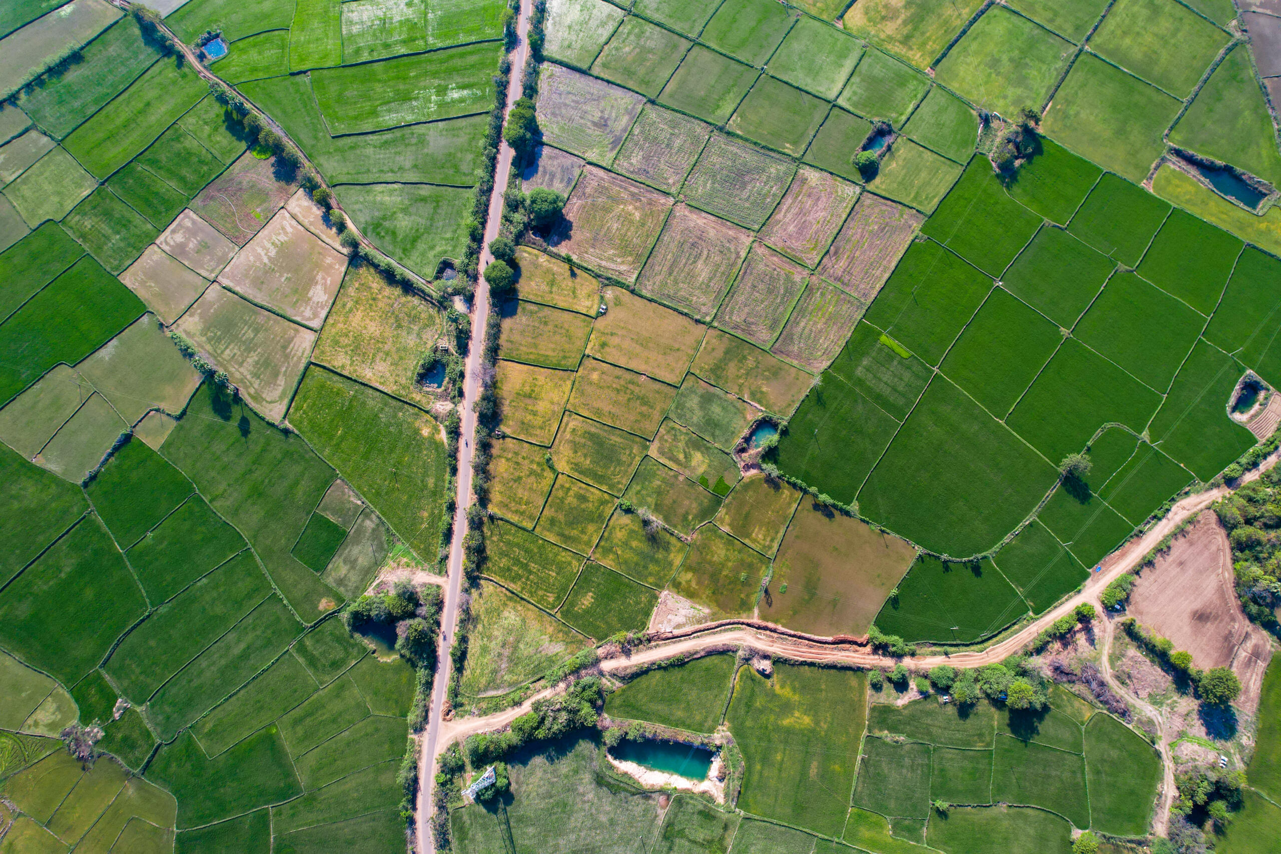
Brownsville sits in a region where older subdivisions, agricultural parcels, and newer developments often share borders. Records can be outdated, fences may not follow the true line, and improvements sometimes cross onto a neighbor’s land without anyone realizing it. A survey removes the guesswork—and the risk.
Without clear documentation, small misunderstandings can turn into costly disputes. A survey gives you a dependable record you can rely on for years. Smart South Texas buyers know this before they close.

Types of Professional Land Survey Services in Brownsville
Not every property situation calls for the same kind of survey. Understanding the options helps you choose the right service, whether you own a single home lot or a large tract slated for development.
Boundary and Residential Surveys
Boundary surveys establish the precise legal limits of your property and identify where structures, fences, and driveways sit in relation to those lines.
For homeowners in Brownsville, this type of survey is often needed before adding a fence, building an addition, or resolving a dispute with a neighbor. It gives you a clear picture of what you own and how it is defined in the public record. When you need property clarity, a reliable survey provides the answers.
Commercial and Development Surveys
Commercial and development projects require more detailed work. These surveys account for easements, utilities, drainage, zoning setbacks, and site planning requirements.
Builders and investors working near the Port of Brownsville or in growing commercial corridors rely on this data to plan responsibly. Getting accurate information early avoids expensive redesigns and keeps timelines on track.
When You Need Professional Land Survey Services in Brownsville Before Buying or Building
A survey completed at the right moment can save you from delays, disputes, and unexpected costs.
Get one before closing on a purchase. Get one before building a home, addition, fence, or outbuilding. Get one when subdividing land, resolving a boundary dispute with a neighbor, or kicking off a commercial project.
Many buyers assume the deed alone tells them everything they need. It does not. A deed describes the property in legal terms, but only a survey shows how those terms translate to actual ground. That distinction becomes especially important during real estate transactions, where confident decisions depend on working with trusted local survey providers.
Without a current survey, you are relying on assumptions — and assumptions have a way of becoming expensive problems. Encroachments, easements, and undefined boundary lines do not disappear on their own. They surface at the worst possible times: during a closing, after a fence goes up, or when a neighbor files a complaint. A professional survey eliminates that uncertainty before it escalates. It gives you a clear, legally recognized picture of what you own, where your lines fall, and what restrictions apply to the land. That clarity protects your investment today and makes future transactions smoother for everyone involved.
What to Expect: Cost, Timing, and the Survey Process
The most common question we hear is about cost and how long a survey takes. The honest answer: it depends on the property.
Pricing and timeline are shaped by parcel size and shape, how accessible the land is, the condition and age of existing records, and the type of survey required. A straightforward residential boundary survey moves faster than a large development survey with multiple easements and complex terrain. Rural or heavily vegetated tracts take longer to access and measure.
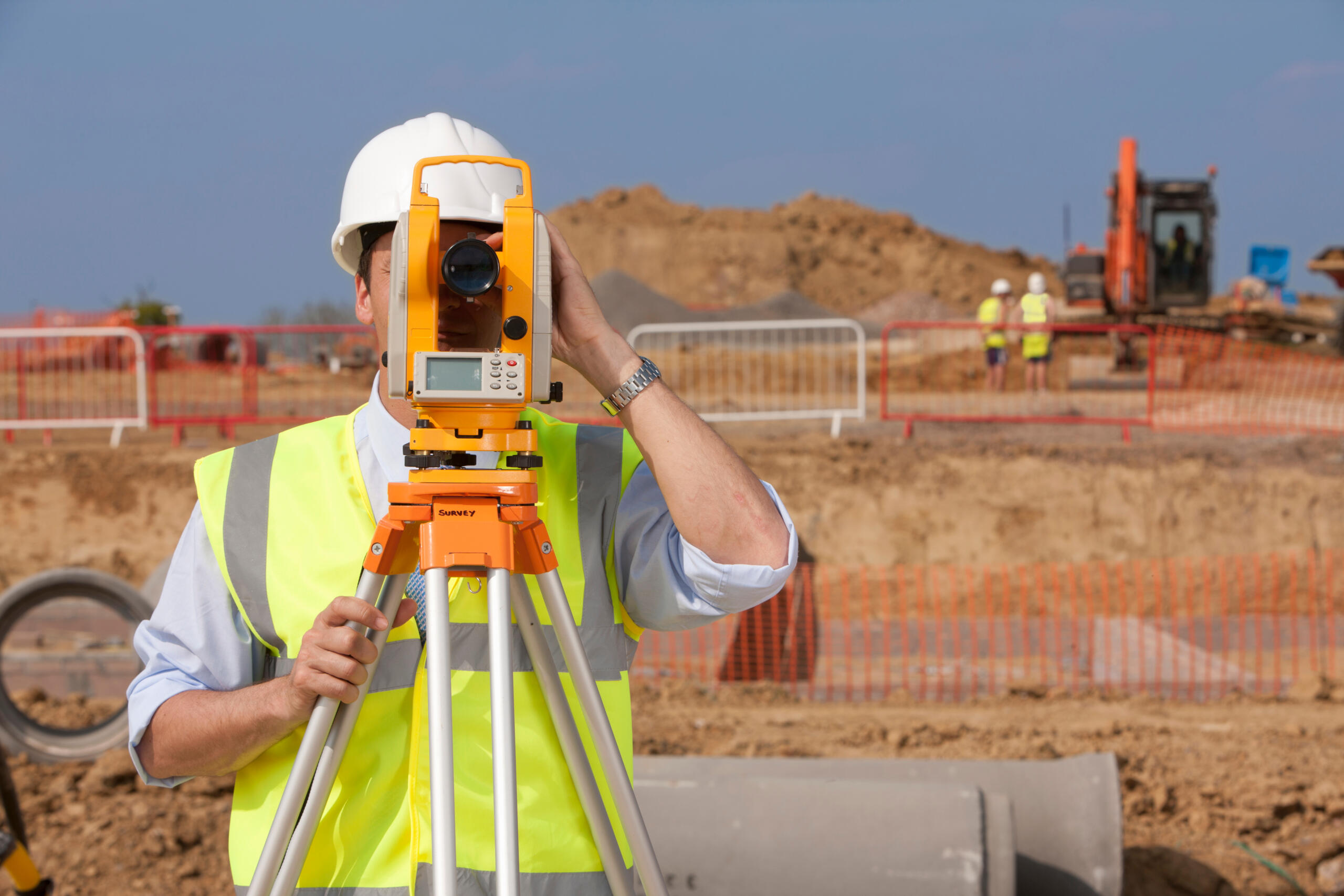
The process starts with research into deed records, plats, and prior surveys. Our field crew then measures the property and locates relevant features. The findings are documented in a report or drawing you can use for closing, permitting, or planning. If you want to understand the requirements tied to financing, this guide on whether a land surveyor is required for a mortgage is a helpful starting point.
How to Choose a Trusted Local Surveyor in Brownsville

Not all surveyors bring the same level of local knowledge, and in a region like the Rio Grande Valley, that knowledge counts. The right professional understands the area’s land history, development patterns, and documentation challenges.
When choosing a surveyor in Brownsville, look for proper Texas licensing and credentials, experience with properties similar to yours, familiarity with local records and regional land realities, and clear communication with dependable turnaround.
A good surveyor explains the process in plain language and answers your questions without pressure. You should finish the conversation feeling more informed, not more confused.
At Southpoint Geodetics, LLC, we bring grounded, local expertise to every project across Brownsville and South Texas. You can learn more about our survey services or find additional resources in our blog as you plan your next step.

What do professional land survey services in Brownsville provide?
Professional land survey services in Brownsville determine your exact property boundaries by researching records, measuring the land, and documenting features. In Brownsville’s region of mixed subdivisions and older developments, surveys prevent costly disputes by providing clear, dependable documentation of your property rights.
When should I get a land survey before buying or building property?
Before closing on a purchase, before building additions or fences, when subdividing land, or during a boundary dispute. Getting a survey at the right point prevents delays and unexpected costs by confirming exactly what you own before you commit.
How much does a land survey cost in Brownsville, TX?
Costs depend on parcel size, accessibility, record condition, and survey type. Straightforward residential boundary surveys are generally faster and less expensive than large development projects with easements. Contact a local surveyor for an estimate based on your property’s specifics.
What’s the difference between a boundary survey and a development survey?
Boundary surveys establish precise property limits for residential work like fences or additions. Development surveys go deeper, accounting for easements, utilities, drainage, and zoning setbacks—essential for commercial projects or builders planning complex sites.
How long does a land survey take to complete?
Timeline varies based on parcel size, accessibility, and record age. The process includes deed research, field measurement, and documentation. Rural or vegetated properties take longer than straightforward residential surveys.
Do I really need a survey if I have the property deed?
Yes. A deed describes property in legal terms but does not show how those terms translate to actual ground. A survey reveals true boundaries, fence locations, and structure placement—critical information before any real estate transaction or building project.