
What separates a piece of land you own from the land next door? It’s not the fence, the tree line, or the gravel drive — it’s a precise set of legal boundaries documented through professional land surveying. Understanding what is included in land surveying services can help you reduce the likelihood of delays, added costs, and complications when buying, building, or resolving boundary concerns.
At Southpoint Geodetics, LLC, we’ve put together this practical guide to show South Texas property owners what is typically included in land surveying services — and why each step matters.
Quick Answer: What Is Included in Land Surveying Services?
Professional land surveying services typically include boundary surveys, topographic surveys, ALTA/NSPS land title surveys, construction staking, elevation certificates, and subdivision platting. Each service generally involves researching public records, performing field measurements with GPS and total stations, marking property corners, and delivering a certified survey map signed by a licensed professional land surveyor. The appropriate survey depends on your goal — buying property, building, addressing disputes, or developing land.
What Land Surveying Services Actually Cover
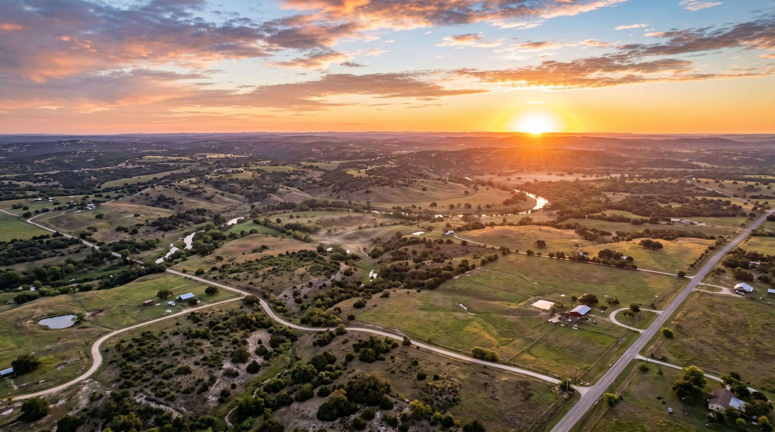
At its core, land surveying is the practice of measuring and mapping a property to establish its dimensions, boundaries, and physical features. The services involved extend beyond simple measurement.
A typical scope of work includes researching legal records, locating property corners, setting or recovering boundary monuments, and producing a detailed map or plat. Surveyors also document improvements like buildings, fences, and driveways, along with any easements or rights of way that may affect how the land can be used.
Most professional surveys rely on a combination of GPS technology and traditional field methods, often tied to established survey control points for consistency. The result is a documented record of the property’s characteristics and boundaries, which supports real estate and construction decisions.
Common Types of Land Surveying Services Included: What Is Included in Land Surveying Services?
Not every project requires the same kind of survey. The type you need depends on your objective — whether that’s clarifying a boundary, completing a transaction, or starting construction.
What Is Included in a Boundary Survey
A boundary survey establishes the legal limits of a parcel using its recorded legal description.
A boundary survey typically includes:
-
Researching deeds, plats, and prior survey records
-
Locating and measuring property corners
-
Setting or restoring monuments and markers along the lines
-
Producing a map that shows boundaries and potential encroachments
When to Order a Boundary Survey
If you’re unsure whether a neighbor’s fence may cross onto your property, a boundary survey provides documented findings based on available evidence.
What Is Included in an ALTA/NSPS Land Title Survey
Several surveys support transactions and building projects. An ALTA/NSPS Land Title Survey is a detailed standard used by lenders and title professionals that combines boundary, topographic, and improvement data into a single comprehensive map.
What Is Included in Construction Staking and As-Built Surveys
Construction staking and layout surveys translate engineered plans into positions on the ground, marking where buildings, utilities, and roadways are intended to be placed. As-built surveys document what was constructed for records and approvals, helping support alignment between plans and field conditions.
When You Typically Need Land Surveying Services in South Texas

Across the Rio Grande Valley, from Brownsville to Harlingen, certain situations commonly require a professional survey.
You may need a land surveyor when you are:
-
Buying or selling property and documentation is requested by a lender or title company
-
Addressing a boundary concern with a neighbor
-
Planning new construction, an addition, or development
-
Subdividing land or preparing acreage for sale
-
Reviewing easement questions related to utilities, drainage, or access
South Texas properties often involve large tracts, flood-prone areas, and older or unclear legal descriptions. For more detail, see our essential guide for South Texas property owners. You can also explore the full range of services we offer to find the right fit for your needs.
What to Expect During the Land Surveying Process
Understanding the process can help set expectations when hiring a surveyor.
First, legal records are researched, including deeds, recorded plats, and prior surveys, to establish the basis for boundary determination.
Next is fieldwork. Surveyors use GPS equipment and conventional instruments to locate corners, measure distances, and reference known control points. Texas maintains official survey control points that support measurement consistency.
After data collection, computations are performed and a final map or plat is prepared. This document reflects boundaries, improvements, easements, and any identified conflicts, and the findings are then reviewed with the client for clarity and understanding.
How Much Land Surveying Services Cost and How Long They Take
Costs and timelines vary depending on the project.
Factors that influence pricing include:
-
Property size and shape
-
Type of survey required
-
Terrain, vegetation, and accessibility
-
Age and clarity of existing records
-
Whether corners need to be recovered or reset
A residential boundary survey in Brownsville may cost less and take less time than surveying large rural acreage with complex historical records. Timelines can range from a few days to several weeks depending on workload, weather, and research requirements.
The most reliable way to determine cost and timing is to request a project-specific quote. Starting early can help reduce the risk of delays affecting a closing or construction schedule. You can browse our blog for related topics to learn more before getting started.
Accurate documentation can help reduce disputes, minimize delays, and support informed decision-making. When you’re ready to move forward, contact us to discuss your property and determine which survey may be appropriate for your situation.

How long does a typical land survey take to complete?
Most residential boundary surveys in South Texas take anywhere from a few days to two weeks. Larger or more complex properties may take several weeks depending on research, field conditions, weather, and workload.
Do I need a land survey to buy a property in Texas?
Texas law does not require a survey for every real estate transaction, but most lenders, title companies, and title insurance underwriters strongly request or require one before closing. A current survey helps identify property boundaries, encroachments, easements, and physical improvements that could affect ownership rights, and without a survey, the title policy may include a standard survey exception. Ordering a survey can clarify what you are purchasing and may reduce the chance of survey-related surprises later.
What is the difference between a boundary survey and an ALTA survey?
A boundary survey focuses primarily on locating property lines, corners, and monuments to define the legal limits of a parcel. An ALTA/NSPS Land Title Survey is a more comprehensive product that meets national standards adopted by the American Land Title Association and National Society of Professional Surveyors, including improvements, easements, encroachments, zoning details, and title-related information referenced in the commitment.
How long is a land survey valid?
A land survey does not technically expire, since the recorded measurements remain accurate as of the date it was performed. Its usefulness can diminish over time if new fences, structures, driveways, or improvements are added, or if adjoining properties change, and many lenders and title companies in Texas prefer a relatively recent survey or may require a new one. When in doubt, ordering an updated survey can help avoid delays and disagreements.
Can a land surveyor settle a boundary dispute with my neighbor?
A licensed land surveyor can provide a professional determination of boundary locations based on deeds, recorded plats, monuments, and field evidence, which often helps neighbors resolve disagreements without litigation. However, surveyors cannot legally enforce boundaries or compel compliance; if a dispute continues, final authority rests with the courts, which may rely on the surveyor’s findings and expert testimony.
What should I do to prepare my property for a survey?
To prepare for a smooth survey, gather and share any relevant documents such as deeds, title commitments, prior surveys, recorded plats, and easement agreements. Ensure the surveyor has clear access to the entire property, and notify them in advance about livestock, dogs, hazards, or sensitive landscaping, while also pointing out known boundary markers, disputed areas, or recent improvements.
Does a land survey show easements and rights of way?
Yes, a land survey typically identifies recorded easements and rights of way that affect the property, such as utility corridors, access roads, drainage easements, and pipeline routes, plotted using information from the title commitment and recorded documents. Easements can significantly impact how you use the land, where you can build, and the property’s overall value, so reviewing them with your surveyor and title company is important before completing the transaction.