
Ordering a land survey should not feel like assembling a legal case file. Still, the information you provide at the beginning can help a surveyor identify the correct property, research its history, and understand what the finished survey needs to address.
So, what documents are needed for professional land survey services? The answer depends on the property and why you need the survey. A residential lot in Brownsville may not require the same records as a ranch, commercial tract, or construction site.
At Southpoint Geodetics, LLC, we review the property and intended use before confirming which documents are most helpful. In many cases, the current deed, complete legal description, previous surveys, and available title or plat information provide a useful starting point.
Quick Checklist: Documents To Gather Before Contacting A Land Surveyor
You do not need every property record before making the first call. Having a few key documents ready, however, can make the initial review easier and help the surveyor identify what additional information may be needed.
Useful documents and information may include:
- Current recorded deed and complete legal description
- Any previous land surveys
- Recorded plats or subdivision maps
- Current title commitment and related exception documents, when applicable
- Easement or right-of-way documents
- Construction, grading, drainage, or site plans for project-related surveys
- Property address, county, and owner information
- Notes about access restrictions, fences, disputed areas, or missing markers
Not every item on this list applies to every project. The type of survey and the intended use determine which materials are actually needed, so there is little benefit in digging through decades of paperwork before the surveyor has reviewed the basic property information.
Start With The Reason You Need The Survey
Before collecting documents, explain what you are trying to accomplish. A boundary survey may require different information from an ALTA/NSPS Land Title Survey, topographic survey, construction layout, or as-built survey.
Provide the property address and county, owner’s name, reason for the survey, and any deadline connected to a closing or project schedule. Mention access concerns such as locked gates, livestock, standing water, or occupied structures, along with any known fence, easement, encroachment, or boundary concerns.
If you are unsure which type of work applies to your property, review Southpoint Geodetics’ land surveying services before gathering project-specific records.
Do You Need A Deed And Legal Description For A Land Survey?

For many survey requests, the current recorded deed is one of the most useful documents you can provide. It identifies the owner of record and usually contains or references the property’s legal description. A street address helps locate the parcel, but it does not legally define its boundaries.
Depending on the property, the legal description may refer to a subdivision lot and block, recorded plat, metes and bounds, parent tract, survey, abstract, or monument. Provide the complete deed, including exhibits and attachments, because missing pages can leave out details needed during research. For inherited, recently transferred, or multi-tract properties, include documents that connect the current ownership to the land being surveyed. Pasted text
Property owners in Cameron County can also use the official Cameron County Clerk Real Property and Land Records page to access public property-record resources. The County Clerk maintains real property records and provides access to recorded deeds through its official records system.
Prior Surveys Can Be Valuable Research Tools

If you have a previous survey, provide the complete copy. It may show monuments, easements, property dimensions, fences, buildings, and other conditions documented at an earlier date, giving the surveyor useful background during research.
A prior survey does not automatically replace new fieldwork because property conditions, monuments, and project requirements can change. Include notes, certifications, legal descriptions, and exhibits whenever possible rather than sending only a cropped image of the drawing.
If this is your first time arranging a survey, SouthPoint’s guide on how to request land surveying services can help you prepare for the process.
Title Commitments, Plats, And Easement Records May Also Be Needed
A current title commitment can be useful when a survey is connected to a real estate transaction because it may identify easements, restrictions, rights-of-way, and other recorded matters affecting the property. When available, provide the complete commitment along with the supporting exception documents rather than only the summary pages.
Subdivision plats, easement exhibits, condominium documents, and tract maps may also help explain how a parcel was created or affected over time. If you know a particular document exists but cannot find it, tell the surveyor instead of delaying the request.
What Documents Are Needed For Different Survey Types?

The documents needed for professional land survey services also depend on the type of work being performed. Boundary surveys may benefit from information about fences, disputed areas, missing markers, adjoining ownership, or shared access. ALTA/NSPS Land Title Surveys may require title documents and instructions related to requested optional items.
Topographic and engineering surveys may require civil, grading, drainage, architectural, or utility plans, while as-built surveys may need approved plans, revisions, and a clear list of completed improvements that must be documented. For work tied to active development, SouthPoint’s guide to land surveyors for construction projects explains how surveying supports different project stages.
Farm And Ranch Properties May Need Additional Information
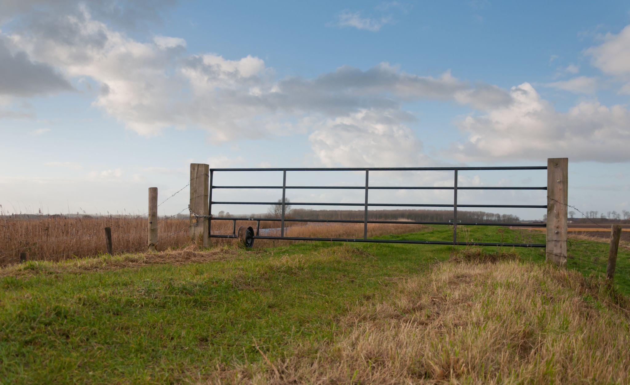
Farm and ranch properties often require more site information before crews arrive. Along with deeds and survey records, share details about gates, livestock, pasture conditions, canals, irrigation features, difficult access areas, and any need to cross neighboring property or shared roads.
Older acreage tracts may also reference historic surveys, abstracts, or land descriptions. The Texas General Land Office Land & Lease Mapping Viewer provides access to Original Texas Land Survey boundaries and other mapping information that can support research. The GLO also notes that its GIS information does not establish private property boundaries, so it should not be treated as a substitute for a professional survey.
How To Organize And Submit Your Survey Documents
Complete, readable files are much easier to review than cropped screenshots or partial scans. Use clear file names such as “Recorded Deed,” “Prior Survey,” “Title Commitment,” “Easement Exhibit,” or “Approved Site Plan,” and use PDFs when possible so page order and detail are preserved.
Before sending records, check that all pages are included, legal description exhibits are attached, recording information remains visible, and maps have not been cropped. If several parcels are involved, identify which deed and legal description belong to each tract so the surveying team can clearly understand what property is part of the request.
What Should You Avoid Sending Or Changing?
Avoid relying on cropped screenshots when the complete document is available, especially for deeds, plats, and previous surveys. Important notes, recording information, or legal descriptions may be located on pages that are not visible in the screenshot.
You should also avoid editing a legal description because something appears incorrect. Instead, explain the concern and provide any supporting information you have. The surveyor can compare the document with public records and field evidence, while issues requiring a corrective deed or legal determination may need help from an attorney or title professional.
What If You Cannot Find Every Document?
You can still contact the surveyor. If you only have the current deed and an old survey, start with those and explain what other records you believe may exist. The surveying team can review what is available and identify additional materials that could help.
Incomplete records may add research time when legal descriptions conflict, properties have been divided, or older plats and easements need to be located. South Texas properties can also involve drainage districts, irrigation systems, older subdivisions, and rural access issues, so providing what you know is more useful than guessing.
About Southpoint Geodetics, LLC
Southpoint Geodetics, LLC provides professional land surveying services for property owners, buyers, builders, developers, engineers, and project teams throughout Brownsville, the Rio Grande Valley, and South Texas. Services include boundary and acreage surveys, ALTA/NSPS Land Title Surveys, topographic and engineering surveys, as-built surveys, easement and right-of-way surveying, and construction staking and layout.
Rather than asking every client for the same paperwork, SouthPoint considers the property, intended use, available information, and requested service before confirming the scope. This helps clients focus on the records that are actually relevant to their property or project.
Prepare The Right Records For A Smoother Land Survey

So, what documents are needed for professional land survey services? For many properties, the best starting point is the current recorded deed, complete legal description, previous surveys, plats, and available title records. The specific survey type may also require project plans, easement documents, title information, or written requirements from other parties.
The goal is not to produce the largest possible pile of paperwork. It is to give the surveying team enough reliable information to identify the property, understand why the survey is needed, and recognize issues that may require additional research.
If you are preparing for a property transaction, boundary project, development, or other survey-related work, explore Southpoint Geodetics’ surveying services or contact Southpoint Geodetics to discuss your property, intended use, and the records you already have.
What Core Documents Should I Prepare Before Ordering A Professional Land Survey?
Start with the current recorded deed and complete legal description. If available, also provide previous surveys, subdivision plats, title records, easement documents, and any project plans related to the survey.
How Does The Type Of Survey Affect The Documents I Need?
Different surveys need different supporting information. Boundary work may require information about fences or disputed areas, while topographic, construction, and as-built surveys may require site plans, project limits, or design information.
Why Is The Current Deed And Legal Description Important?
The deed identifies the owner of record, while the legal description identifies the land being surveyed. It may reference lot and block information, recorded plats, metes and bounds calls, or other records used during research.
Can Incomplete Or Disorganized Documents Delay My Survey?
They can. Missing pages, cropped maps, unreadable scans, or unclear parcel information may require additional follow-up or research before the surveyor can confirm the property and scope.
What Additional Information May Be Needed For A Farm Or Ranch Survey?
Provide available property records along with information about gates, livestock, pasture conditions, irrigation features, canals, shared access, and other conditions that could affect fieldwork.
How Can I Help Make Sure The Survey Meets Lender Or Title Requirements?
Provide written requirements from the lender, title company, engineer, municipality, or other reviewing party as early as possible so the surveying team understands the expected scope and deliverables.