You may not think about ordering a land survey until a property decision depends on one. A title company may need updated information, a neighbor may question a fence line, or a builder may need reliable boundaries and elevations before construction begins.
So, when do you need professional land survey services? Common situations include buying or selling property, resolving boundary concerns, planning construction, subdividing land, reviewing easements or access, and meeting permit or elevation requirements.
At Southpoint Geodetics, LLC, we provide professional surveying services for property owners, buyers, real estate professionals, builders, and project teams throughout Brownsville, the Rio Grande Valley, and South Texas. The right survey depends on what you plan to do with the property and who will rely on the results.
Quick Answer: When Might You Need A Professional Land Survey?
A professional survey may be useful or required when:
- Buying, selling, or refinancing property
- Confirming property boundaries before installing a fence or improvement
- Investigating a possible encroachment
- Reviewing easements or property access
- Planning a house, addition, driveway, utility, or other construction
- Subdividing or developing land
- Preparing information for permits
- Documenting elevations for floodplain, design, or insurance purposes
Not every situation requires the same survey. A boundary question, real estate transaction, and construction project can each call for different information and deliverables.
Do You Need A Land Survey When Buying Or Selling Property?
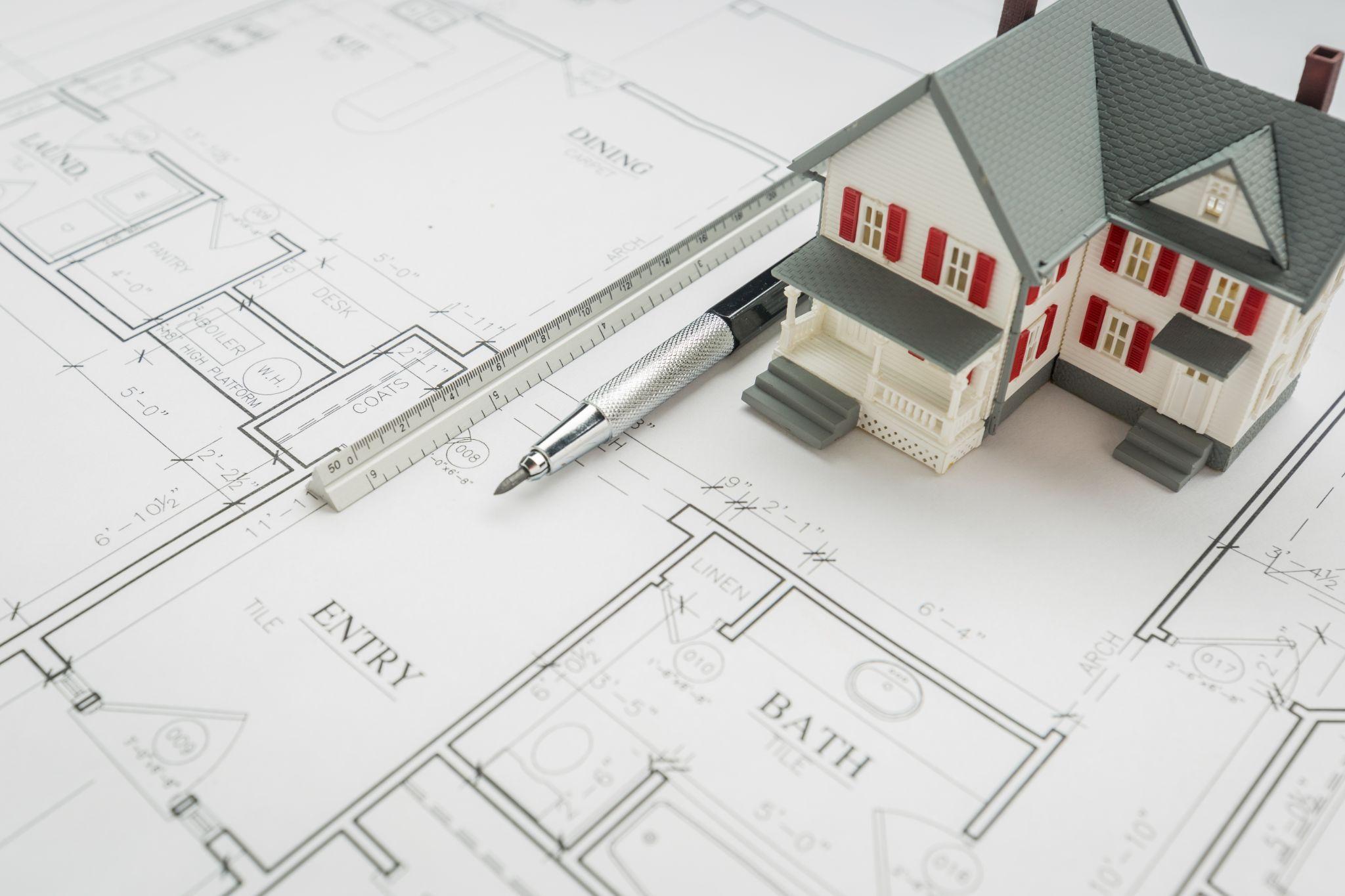
A survey may be needed when buying, selling, or refinancing property, but Texas does not require a new survey for every real estate sale. The lender, title company, existing records, property type, and condition of any previous survey can all affect what is required.
An older survey may sometimes be accepted if the property has not changed and the parties involved consider it suitable. New fences, additions, easements, access roads, utilities, or subdivisions can make an earlier survey less useful, so survey expectations should be clarified before the transaction reaches the final stages.
If you are preparing for a purchase, sale, or refinance, Southpoint Geodetics’ land surveying services can help determine which survey may fit the property and intended use.
How Buyers, Sellers, Lenders, And Title Companies Use Survey Information
Different parties use a survey for different reasons. Buyers may want to understand boundaries, access, easements, and improvements before completing a purchase, while sellers may benefit from identifying issues that could otherwise surface during negotiations.
Lenders and title companies may review survey information as part of their own requirements. Title companies may look for boundary concerns, easements, or encroachments that could affect coverage, while lenders may have separate requirements related to the property securing the loan.
Boundary Questions That May Call For A Survey

You do not need to be in the middle of a property dispute before a boundary survey becomes useful. If you are unsure where a property line runs, planning a fence, questioning a driveway location, or concerned that an improvement may cross a boundary, visible features alone may not provide a reliable answer.
Fences, hedges, roads, and utility poles can appear to mark a boundary, but their location does not automatically establish the legal property line. A boundary survey reviews available deeds and plats, searches for corner evidence, collects field measurements, and documents the surveyor’s findings.
Common reasons property owners request boundary surveying include missing corner markers, questioned fence lines, possible encroachments, unexpected acreage, unclear access, or planned work near a property line.
Easements And Access Issues That May Require Surveying

Easements can affect where you build, how utilities cross a parcel, or whether another party has documented access over part of the property. When the location of an easement is unclear or a proposed improvement will be near one, surveying can help show how the recorded rights relate to conditions on the ground.
This can be especially important on rural and acreage properties in South Texas, where shared roads, irrigation infrastructure, drainage easements, or access across neighboring land may affect how a property can be used.
SouthPoint provides easement surveys for property transactions, utility work, development, access questions, and other situations where easement locations need to be identified in the field.
Do You Need A Survey Before Construction?
Surveying is commonly involved before and during construction because architects, engineers, contractors, and property owners need reliable information about the existing site before improvements can be positioned correctly.
Depending on the project, a boundary or topographic survey may document property limits, elevations, drainage features, roads, structures, or visible utilities before design begins. Later, construction staking can transfer approved positions and elevations from project plans to physical reference points in the field.
A small location or elevation error can affect setbacks, drainage, utility connections, or access. For a closer look at how surveying fits into different project stages, see SouthPoint’s guide to land surveyors for construction projects.
Surveying For Permits, Subdivisions, And Land Development
Survey requirements for permits vary by jurisdiction and project type. A city, county, engineer, architect, or utility provider may request site information when property boundaries, setbacks, drainage, utilities, or access affect the proposed work.
Subdivision and land development projects can involve additional coordination. Plat preparation, proposed lots, access, drainage, utilities, and dedications may all need review before approval. South Texas projects may also involve older rural tracts, irrigation infrastructure, or drainage systems that add another layer of site planning.
Floodplain And Elevation Surveying: When It Comes Into Play
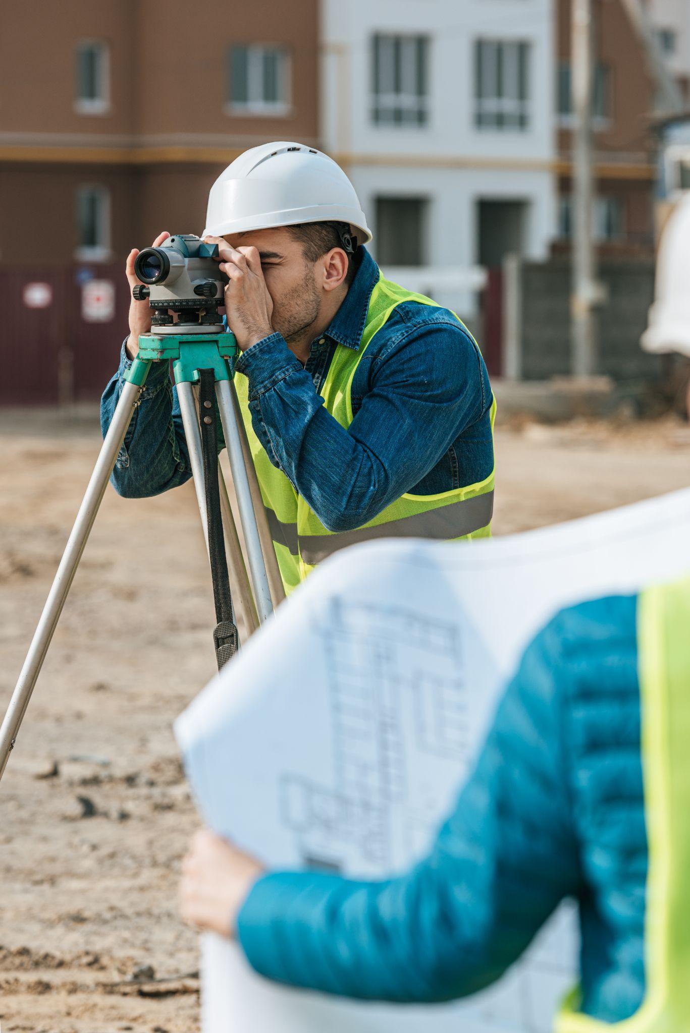
Some properties require elevation information because of floodplain planning, permitting, design, or insurance needs. This may be especially relevant near low-lying areas, resacas, drainage channels, or mapped flood hazard areas.
Depending on the situation, an elevation certificate or other elevation-related documentation may be requested. A survey cannot predict whether flooding will occur, but measured elevation data can help engineers, property owners, insurers, and reviewing authorities evaluate the site.
What Should You Tell A Surveyor Before Getting Started?
Start by explaining why you need the survey and who will use it. If a lender, title company, engineer, municipality, attorney, or other party has provided written requirements, share them before the scope is finalized.
The surveying team may also ask for the deed, legal description, previous survey, title commitment, subdivision plat, project plans, property address, or access information. These records help identify the property and intended use while the surveyor completes the necessary research and fieldwork.
What Happens During A Professional Land Survey?
The exact process depends on the survey type, but professional surveying generally combines records research, field measurements, analysis, and preparation of the agreed deliverables.
For many projects, the process includes confirming the purpose and scope, researching relevant property records, collecting measurements in the field, comparing record and physical evidence, preparing the survey documents, and explaining significant findings when needed.
The scope should match the property decision or project being supported. A low fee or fast turnaround means little if the proposed work does not actually include the information the client needs.
About Southpoint Geodetics, LLC
Southpoint Geodetics, LLC serves property owners, buyers, real estate professionals, builders, engineers, developers, and project teams throughout Brownsville, the Rio Grande Valley, and South Texas.
Services include boundary and acreage surveys, ALTA/NSPS Land Title Surveys, topographic and engineering surveys, as-built surveys, easement and right-of-way surveys, and construction staking and layout.
Rather than assuming every property needs the same service, SouthPoint considers the transaction, boundary concern, project stage, and intended use before helping clients identify an appropriate survey scope.
Know When To Bring In A Professional Land Surveyor

So, when do you need professional land survey services? A survey may be needed for a real estate transaction, boundary concern, construction project, permit, subdivision, or development. It may also be worth considering whenever property lines, access, easements, elevations, or improvements are uncertain.
Confirming the need early gives property owners and project teams more time to address questions before they affect a closing, design schedule, or construction timeline.
If you are unsure which survey fits your situation, explore Southpoint Geodetics’ surveying services or contact Southpoint Geodetics to discuss your property, project, and intended use.
Do I Need A Land Survey Every Time I Buy Property In Texas?
Not necessarily. Whether a new survey is needed can depend on the lender, title company, purchase agreement, property conditions, and whether an existing survey is acceptable.
When Should I Get A Boundary Survey?
A boundary survey may be useful when property lines are uncertain, corner markers are missing, a fence or improvement may cross a boundary, or work is planned near the edge of the property.
Should I Get A Survey Before Building A House Or Addition?
Surveying is commonly used before construction to confirm property limits, site conditions, and elevations. The exact type of survey depends on the project and local requirements.
Can A Survey Resolve A Property Dispute?
A survey can document boundaries, monuments, improvements, easements, and other evidence. It does not decide every legal ownership dispute, so unresolved conflicts may also require legal review.
When Might A Property Need Elevation Or Floodplain Surveying?
Elevation information may be requested for floodplain management, design, permitting, or insurance purposes. The specific documentation depends on the property and reviewing organization.
How Early Should I Contact A Land Surveyor?
Contacting a surveyor early is useful when the work is tied to a closing, permit, construction schedule, or development project. This allows time for research, field access, and unexpected property conditions.