Boundary disputes have a way of turning friendly neighbors into reluctant adversaries. A misplaced fence, a driveway that creeps a few inches over the line, or an old deed with vague wording can quickly escalate into a costly conflict over property boundaries. These disputes are more common than most landowners expect, and they rarely resolve themselves through conversation alone.
Quick Answer: A land surveyor for boundary disputes is a Registered Professional Land Surveyor (RPLS) who resolves property line conflicts by combining GPS and conventional field measurements, deed and plat research, and signed, sealed documentation that is legally defensible in court. Hiring a licensed surveyor is typically the fastest, most cost-effective way to settle a boundary dispute before it escalates into litigation.
At Southpoint Geodetics, LLC, our licensed surveyors bring three things to every boundary question:
-
Objective measurements taken with GPS and conventional instruments
-
Historical research drawn from deeds, plats, and prior surveys
-
Legally defensible documentation signed and sealed by a Registered Professional Land Surveyor
Whether you need a clear answer before construction begins or accurate boundary surveys to support a formal proceeding, we help South Texas property owners move from uncertainty to resolution — with facts, not guesswork.

What Causes Boundary Disputes Between Neighbors
Most boundary disputes start small. A new fence goes up a foot too far, a shed is built close to a property edge, or a decades-old survey no longer matches what is on the ground today.
Common causes of boundary disputes include:
-
Outdated legal descriptions that reference landmarks no longer present
-
Missing or moved survey monuments that once marked corners
-
Conflicting deeds between adjacent parcels
-
Informal agreements between past owners that were never documented
-
Encroaching structures such as fences, sheds, driveways, or irrigation infrastructure
-
Historic parcels like Spanish land grants that predate standardized surveying
In rural parts of the Rio Grande Valley, older parcels sometimes reference creek bends, particular trees, or road intersections that have since changed — leaving descriptions that no longer map cleanly onto modern parcels.
Two of the most frequent physical triggers we encounter in South Texas are fences and structures placed across property lines without either owner realizing it. A fence built along what a homeowner believes is the boundary — but was never confirmed by a professional survey — can sit several feet into an adjacent parcel for years before the encroachment is discovered during a sale or new construction. Outbuildings, concrete driveways, and irrigation lines create the same problem.
With more than three decades of experience resolving boundary conflicts across Hidalgo, Cameron, and Willacy counties, our licensed Texas surveyors have seen how quickly a minor discrepancy can escalate into litigation when left unaddressed. That is why understanding the root cause is the first step a professional surveyor takes before recommending the right type of survey work.
How a Land Surveyor Settles Property Line Disagreements
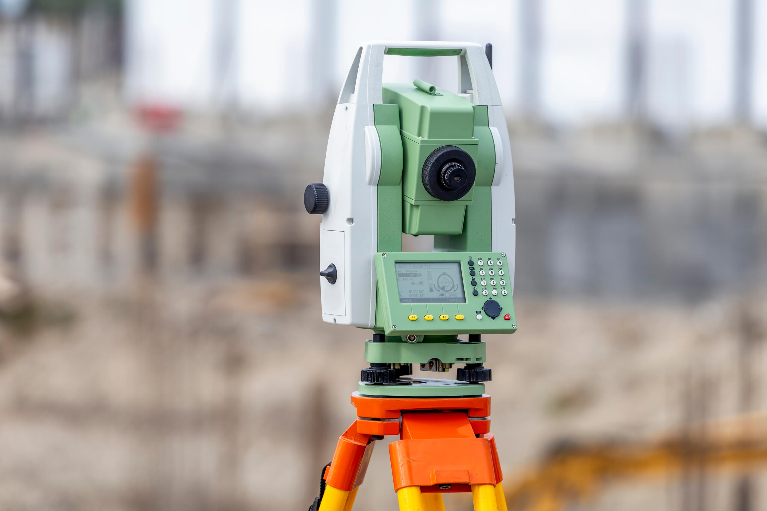
A licensed surveyor brings something neither neighbor can offer on their own: an unbiased measurement based on legal records and field evidence. We research the deed, review prior surveys, locate existing monuments, and use GPS along with conventional methods to mark where the true boundary sits.
That documentation often resolves the disagreement on its own. When it does not, the survey becomes essential evidence if the matter moves toward a boundary line agreement or legal proceeding.
Types of Surveys Used in Boundary Disputes
Not every situation calls for the same approach. The most common options we use include:
-
Boundary Survey: Identifies and marks the exact corners and lines of your parcel.
-
ALTA/NSPS Land Title Survey: A detailed standard often required for commercial transactions and title insurance.
-
Retracement Survey: Re-establishes lines from an earlier survey when monuments are missing or disturbed.
When Boundary Disputes Turn Into Legal Battles
Most property boundary conflicts resolve once both landowners see the same signed and sealed survey drawing. But when they do not, the survey becomes the cornerstone of any legal proceeding that follows.
Why surveys carry weight in court:
-
Texas courts treat a properly executed land survey as authoritative evidence of where a boundary sits.
-
A Registered Professional Land Surveyor can provide expert testimony explaining the measurements, methodology, and records behind the conclusion.
-
That testimony is grounded in objective surveying standards rather than either party’s recollection or preference.
Disputes involving encroachments, adverse possession claims, or conflicting deeds are especially likely to require this level of documentation before a judge or mediator can rule. Having a complete survey record from the outset — rather than scrambling to obtain one after filing — puts property owners in a far stronger position and often shortens the resolution timeline considerably.
If you believe your situation may escalate, our team can advise on the type of survey and documentation level most appropriate for your circumstances.
When to Hire a Surveyor Before the Dispute Escalates
Timing matters. The best moments to bring in a surveyor are:
-
Before construction begins on any structure near a property edge
-
Before replacing a fence along what you believe is the boundary
-
Before signing closing documents on a new property purchase
-
As soon as a neighbor raises concerns about a shared line
An early survey often prevents legal fees, stop-work orders, and strained relationships. You can also explore the full range of services we offer to understand which type of survey fits your situation.
What to Expect From the Boundary Survey Process
Understanding what happens during a boundary survey removes a lot of uncertainty. Here is how Southpoint Geodetics approaches every dispute case from start to finish:
-
Records Research. Our licensed surveyors pull all relevant deeds, plats, prior survey documents, and title records tied to your parcel. Accurate boundary surveys always begin in the archives, not the field.
-
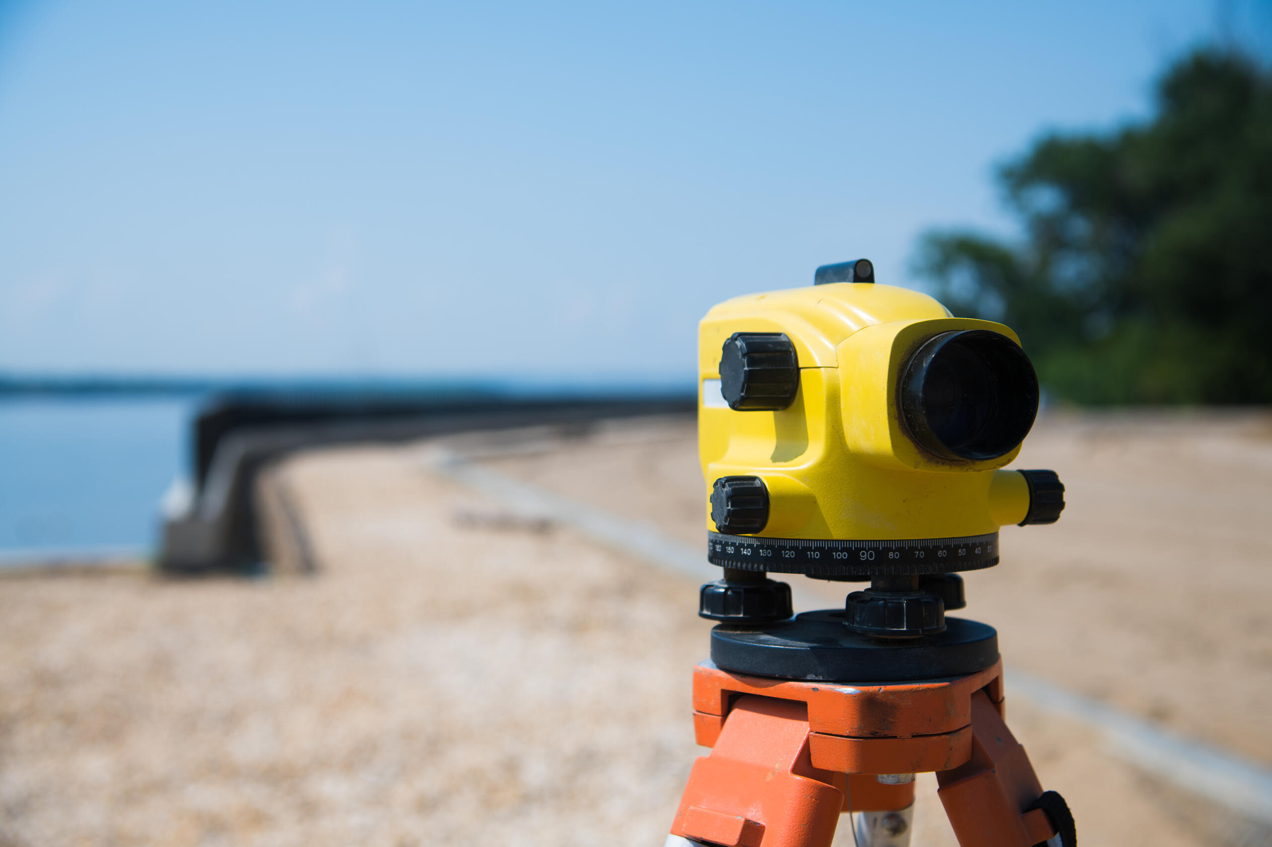
Field Investigation. Our crew visits the site to locate existing monuments, measure distances, and document any structures, fences, or improvements that may relate to the disputed boundary.
-
Data Analysis and Comparison. We compare what we find on the ground against the historical record. Where deed descriptions, neighboring plats, or old surveys conflict with physical evidence is exactly where disputes originate — and where we focus our analysis.
-
Boundary Determination. Using GPS and conventional instruments, we calculate the legally correct property line based on Texas surveying standards and recorded documents.
-
Monument Placement. New boundary markers are set at corners and along lines as required, creating a permanent, defensible record.
-
Signed and Sealed Survey Drawing. You receive a final document prepared by a Registered Professional Land Surveyor showing all boundary lines, improvements, encroachments, and measurements.
Typical timeline: Most residential surveys in the Rio Grande Valley are completed within two to four weeks, though parcel size, record availability, and title complexity can affect that timeline.
Choosing the Right Surveyor for Your South Texas Property
South Texas land has its own quirks, from old Spanish land grants to floodplain considerations along the Rio Grande. Working with a local Registered Professional Land Surveyor who understands Brownsville, Harlingen, and the surrounding communities makes a real difference.
What to look for in a South Texas surveyor:
-
Active Texas licensing as a Registered Professional Land Surveyor
-
Experience with parcels similar to yours (rural, residential, commercial, or historic)
-
Clear communication about timing, scope, and deliverables
-
Local knowledge of Rio Grande Valley records and terrain
This guide to choosing the right surveyor in South Texas is a helpful starting point, and you can always reach out to our team with specific questions about your property.

Protecting Your Property Line Long After the Survey Is Complete
Resolving a current boundary conflict is only part of the picture. Once accurate boundary surveys have been completed and monuments are set, there are straightforward steps every property owner can take to prevent future disputes:
-
Store your records securely. Keep a copy of your signed and sealed survey drawing alongside your deed and title documents in an accessible location.
-
Confirm before you build. If you plan to build a fence, add a structure, or make any improvement near a property line, have that boundary confirmed in the field before breaking ground — no matter how confident you feel.
-
Share with new neighbors. If a neighboring property changes hands, consider sharing a copy of your existing survey with the new owners early. This simple courtesy eliminates the most common source of friction between new neighbors.
Land surveying is not a one-time fix but a reliable tool landowners can return to whenever a question about their boundary arises. At Southpoint Geodetics, we are here for that first survey and every one that follows.
Conclusion
A boundary dispute does not have to end in court or hard feelings. With an accurate survey from a qualified land surveyor for boundary disputes guiding the process, most disagreements settle quickly. If you want to learn more, find additional resources in our blog or contact us when you are ready to move forward.
How much does a land surveyor cost for a boundary dispute in South Texas?
The cost of a boundary survey in South Texas varies depending on the property size, terrain, and complexity of the dispute. Larger rural tracts or properties with missing historical markers typically cost more than a straightforward residential parcel. We always recommend requesting a detailed quote upfront, since legal-grade surveys used in court often require additional documentation, research time, and expert testimony fees.
How long does a boundary survey take to complete?
Most boundary surveys we perform take between two and six weeks from start to finish. The timeline depends on courthouse research, weather conditions, property accessibility, and how quickly we can locate existing monuments. Complex disputes involving conflicting deeds or older South Texas land grants may take longer. We always communicate clear timelines upfront so homeowners can plan accordingly when a dispute is time-sensitive.
Can a land surveyor’s report be used as evidence in court?
Yes, a licensed land surveyor’s report is admissible evidence in Texas courts and often carries significant weight. Judges rely on signed and sealed surveys prepared by Registered Professional Land Surveyors (RPLS) to establish legal property boundaries. We frequently provide expert witness testimony alongside our reports, helping attorneys clarify technical findings and strengthen our clients’ positions during boundary litigation or mediation proceedings.
What’s the difference between a boundary survey and a property survey?
A property survey is a general term covering various survey types, while a boundary survey specifically identifies and marks the exact legal limits of a parcel. Boundary surveys are what we recommend for disputes because they include thorough deed research, monument verification, and physical marking of corners. Other surveys, like mortgage or topographic surveys, serve different purposes and aren’t suitable for resolving property line conflicts.
Do I need my neighbor’s permission to get a boundary survey?
No, you don’t need your neighbor’s permission to survey your own property. When fieldwork requires any access to or near a shared line, we communicate directly with neighboring property owners to coordinate as needed. We always recommend notifying neighbors as a courtesy before fieldwork begins — this transparency often reduces tension and can encourage cooperation toward a peaceful resolution.
What happens if my neighbor refuses to accept the survey results?
If a neighbor disputes our findings, they have the right to hire their own licensed surveyor for a second opinion. When two surveys conflict, the matter often moves to mediation or court, where a judge weighs the evidence. Because our work follows strict Texas Board of Professional Land Surveying standards, our sealed reports typically hold up well under scrutiny, giving our clients strong legal standing.
Can old fences or trees be used to establish a property line?
Generally, no. While long-standing fences or trees may suggest a historical boundary, legal property lines in Texas are established through recorded deeds, plats, and verified survey monuments. We’ve seen many South Texas disputes where fences sat several feet off the true line for decades. Adverse possession claims are possible but difficult to prove, which is why a professional survey remains the most reliable path to resolution.
Should I hire a surveyor or an attorney first for a boundary dispute?
We recommend starting with a licensed land surveyor before involving an attorney. A boundary survey provides the factual foundation any lawyer will need to build a case or negotiate a settlement. Without verified survey data, legal action becomes guesswork and far more expensive. Once we deliver our sealed report, your attorney can evaluate options clearly, whether that means mediation, a demand letter, or litigation.