

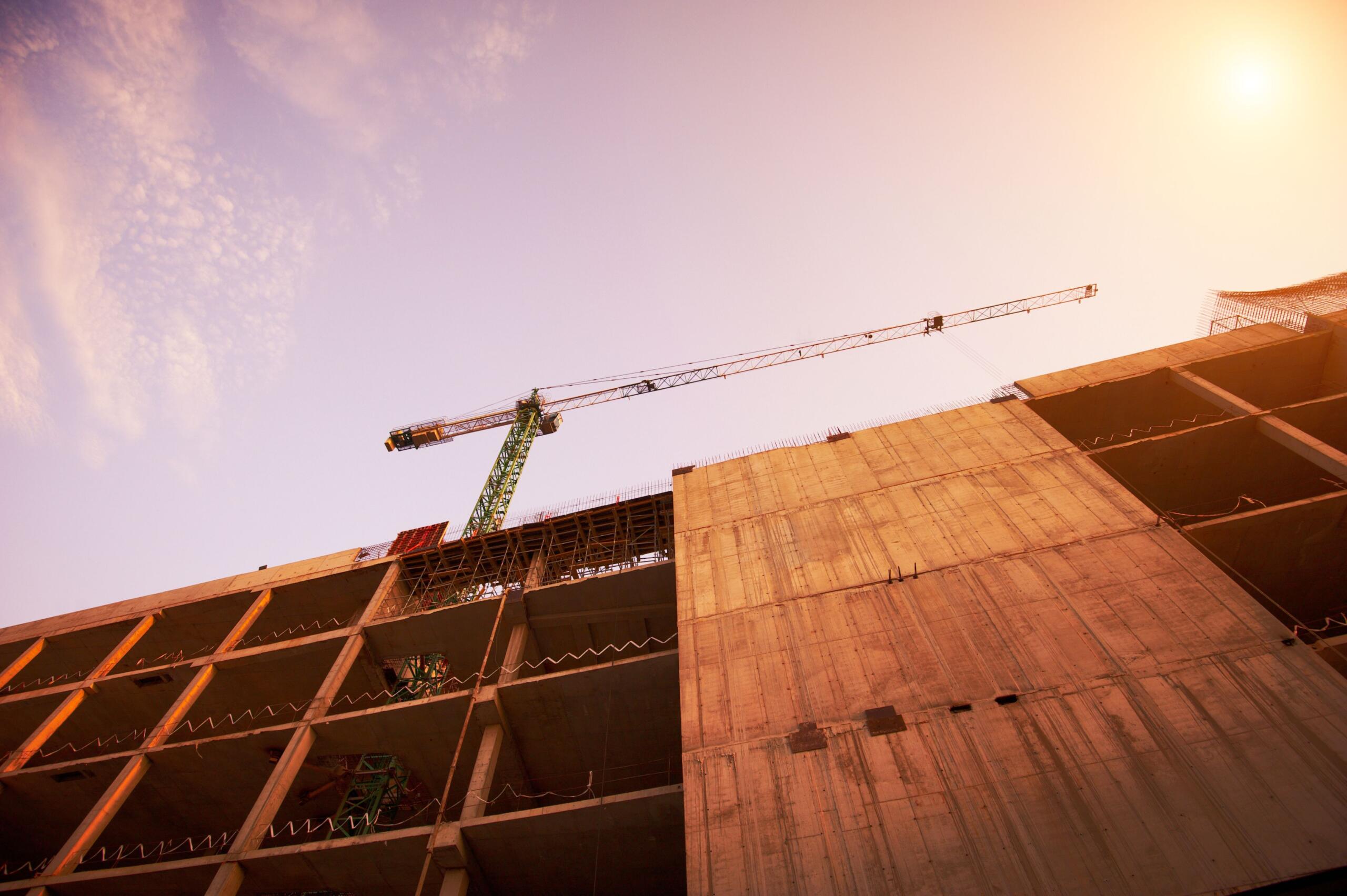
A construction project lives or dies by what happens before the first shovel hits the ground. Boundaries, elevations, easements, and setbacks all need to be verified — and getting them wrong can cost months and thousands of dollars. Land surveying is the discipline that makes those verifications possible, and a professional land surveyor for construction projects is among the most important and most overlooked members of any construction team. At Southpoint Geodetics, LLC, we work alongside builders and developers across the Rio Grande Valley to make sure every project starts on solid, well-documented ground.
Quick Answer: A land surveyor for construction projects establishes precise property boundaries, elevations, and site layouts before and during construction. They produce boundary, topographic, and ALTA surveys, stake out structures, verify setbacks and easements, and provide the legally accurate measurements builders, engineers, and architects rely on to keep projects compliant, on schedule, and on budget.

What Does a Land Surveyor Do on a Construction Project?
A land surveyor for construction projects performs five core tasks:
-
Establishes legal boundaries of the property using deeds and plats
-
Identifies easements and rights of way that limit where you can build
-
Maps existing features like elevations, drainage, and structures
-
Stakes the site by translating engineered plans into physical points on the ground
-
Produces as-built records verifying what was constructed versus what was planned
Without that work, contractors are essentially guessing — and guessing is expensive.
What Is Land Surveying?
Land surveying is the science and practice of measuring, mapping, and defining the boundaries of a piece of land using specialized equipment, legal records, and established mathematical principles. A land survey produces a legally recognized document that describes the exact dimensions, features, and boundary lines of a property.
Land surveyors are licensed professionals trained to interpret property deeds, plats, and historical records alongside physical measurements, making their findings defensible in court and accepted by permitting authorities. In construction, land surveying provides the foundational data that engineers, architects, and contractors depend on before a single plan is finalized. In South Texas, where boundary records can be incomplete or decades old, that documentation is especially consequential.
What Does a Construction Surveyor Establish on Site?
A construction surveyor establishes the following on every job site:
-
Legal boundary lines — confirming where the property begins and ends based on recorded deeds
-
Control points and benchmarks — precise reference locations tied to every other measurement
-
Offset stakes and grade stakes — communicating elevation targets to heavy equipment operators
-
Utility and structure layout points — marking where pipes, foundations, and roads belong
-
Phase verification points — keeping multi-structure builds geometrically coherent
These benchmarks allow different crews — grading, framing, utilities, paving — to work independently while still building toward the same coordinated outcome.
Types of Surveys Required Before You Break Ground
Different stages of a build call for different surveys. Knowing which one you need, and when, helps keep the project on schedule and within budget.
Boundary, Topographic, and Construction Staking Surveys
-
Boundary survey: Confirms the exact legal limits of the parcel. Usually the starting point for any new build.
-
Topographic survey: Maps elevations, drainage patterns, trees, and existing structures for design.
-
Construction staking survey: Marks approved plans physically on the site so crews build to spec.
-
Foundation survey: Verifies formwork placement before concrete is poured.
-
As-built survey: Documents final construction for records, permits, and certificates of occupancy.
When Should You Hire a Surveyor in Your Construction Timeline?
You should hire a surveyor early and more than once. Treating surveying as a one-time task usually leads to rework later. Here is how surveying work typically flows throughout a standard build:
-
Step 1 — Pre-Purchase / Feasibility: A boundary and topographic survey establishes what you are actually buying — legal limits, elevation changes, drainage, and encumbrances.
-
Step 2 — Design Phase: Engineers and architects use topographic data for grading plans, utility layouts, and structural positioning.
-
Step 3 — Construction Staking: After permits, the surveyor physically stakes the layout — corners, offsets, grades, and utility runs.
-
Step 4 — Foundation Verification: Before concrete is poured, a surveyor confirms formwork is positioned correctly relative to setback lines.
-
Step 5 — As-Built Documentation: At project close, the surveyor records what was actually built. Required for final inspections and certificate of occupancy.
Thinking of the surveyor job as a series of check-ins rather than a single visit keeps every phase of your project accountable.
How Surveyors Help You Avoid Costly Delays and Disputes
Most construction disputes we see in the Rio Grande Valley trace back to assumptions about boundaries, setbacks, or utility locations that were never verified. Common — and preventable — issues include:
-
A fence built a few feet over a property line
-
A slab poured inside a recorded easement
-
A driveway that crosses onto a neighbor’s parcel
-
A structure that violates municipal setback requirements
Accurate surveys prevent those issues by documenting reality before construction begins — catching encroachments, easement conflicts, and setback violations on paper rather than after concrete has cured.
What to Look for When Choosing a Surveyor in South Texas
South Texas land carries its own quirks: low-lying areas throughout the Valley subject to FEMA flood zone designations, older ranch boundaries throughout the Rio Grande Valley, and colonia parcels with incomplete records. When evaluating a surveyor, check for:
-
Registered Professional Land Surveyor (RPLS) license in Texas
-
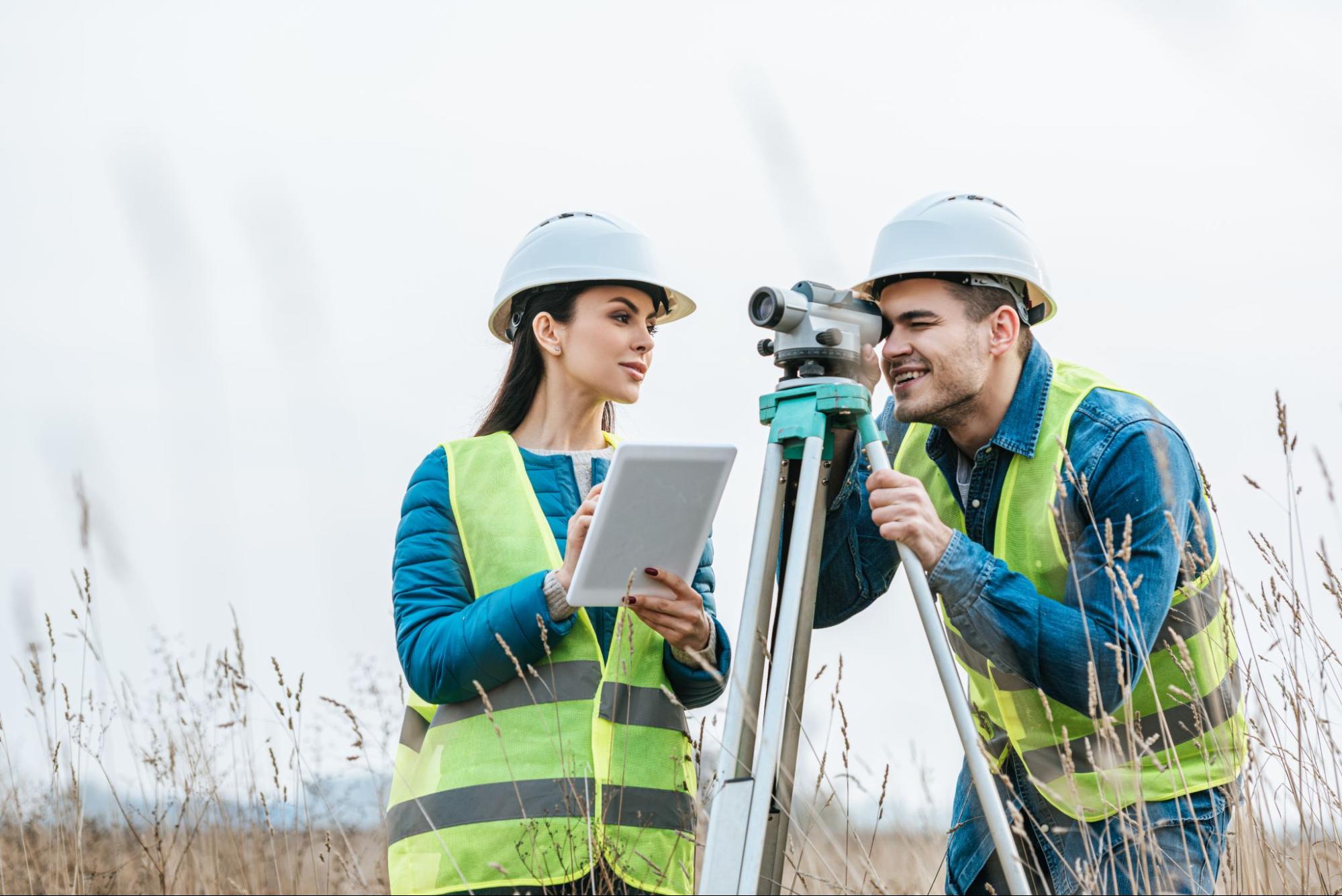
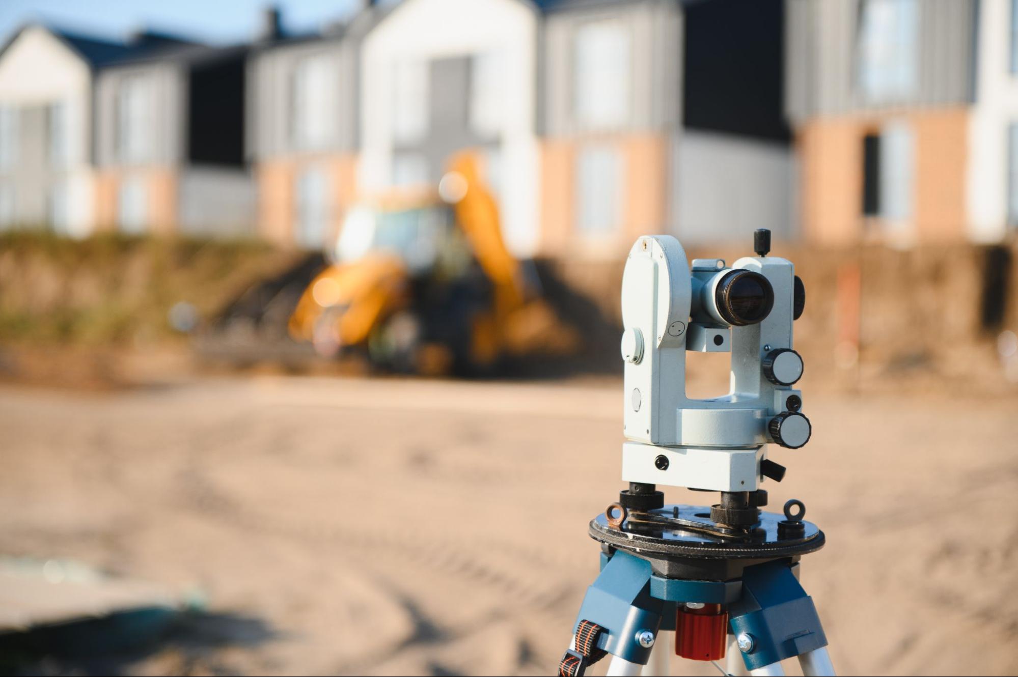
Modern equipment including GPS receivers and total stations
-
Clear written scope of work with deliverables and timelines
-
Local experience with regional regulations and historical records
-
Insurance and bonding appropriate for commercial projects
Our guide on how to choose a local land surveyor in South Texas walks through the questions worth asking. You can also explore the full range of services we offer.
Conclusion
A successful build starts with knowing exactly what you are building on — and land surveying is how you find out. From the boundary survey that confirms your legal limits before purchase, to the construction staking that guides your crew on day one, to the as-built records that close out your permits, land surveys are the thread of accuracy that runs throughout construction. Skipping that thread doesn’t save money — it defers costs to the worst possible moment. At Southpoint Geodetics, LLC, we serve builders, developers, and landowners across South Texas with the full range of construction survey services. Reach out to our team to get your next project started on the right foundation.
How much does a land surveyor cost for a construction project?
Land surveyor costs for construction projects in South Texas vary widely depending on parcel size, terrain difficulty, the number of corners to set, and the type of survey required. Simple residential boundary surveys generally fall at the lower end of the market, while complex commercial topographic and staking work can run significantly higher. Prices vary and are subject to change, so we recommend requesting a written scope and flat-fee estimate before fieldwork begins so you know exactly what you are paying for.
How long does a construction land survey take to complete?
A standard construction land survey often takes one to three weeks from engagement to final deliverable, though simpler residential boundary surveys in well-documented urban areas can sometimes be turned around faster. Fieldwork itself often requires only one or two days, but research into deeds, plats, and historical records can add time on the front end. Drafting the final signed and sealed survey document typically takes another several days. Larger commercial sites, complex boundary disputes, or properties with incomplete records can extend that timeline to a month or more.
Do I need a land survey before buying land for construction?
Yes, you should always commission a land survey before buying land for construction. A pre-purchase boundary and topographic survey reveals the parcel’s exact legal limits, easements, encroachments, flood zones, and elevation changes that affect what you can build. Discovering these issues before closing gives you negotiating leverage and protects you from inheriting expensive problems. Title companies and lenders often require a current survey as a condition of closing on commercial transactions anyway.
What is the difference between a land surveyor and a civil engineer?
A land surveyor measures and legally defines what already exists on a property — boundaries, elevations, features, and easements — and produces documents that hold up in court. A civil engineer designs what will be built on that land, including grading plans, drainage systems, roads, and structures. The two roles are complementary: surveyors provide the verified data, and engineers use that data to design responsibly. Most construction projects require both professionals at different phases.
What is a construction staking survey?
A construction staking survey is the physical layout of approved engineering plans onto the actual job site. The surveyor uses GPS and total station equipment to place stakes marking foundation corners, building offsets, road centerlines, utility runs, and grade elevations. Construction crews then build directly from those stakes. This survey translates the architect’s and engineer’s drawings into ground-level reality, and it is one of the most critical steps in preventing costly construction errors.
What is an as-built survey and when do I need one?
An as-built survey documents exactly what was constructed on a site versus what the approved plans called for. It records the final positions of structures, utilities, pavement, and grading after construction is complete. You need an as-built survey for final permit inspections, certificate of occupancy, lender draw requests, and long-term facility records. It also protects you in future disputes by providing legally defensible documentation of the finished project’s geometry and location.
Can a land surveyor settle a property line dispute?
Yes, a licensed land surveyor is often the first professional called to resolve a property line dispute. The surveyor researches deeds, plats, and historical records, then performs precise field measurements to locate the legal boundary. The resulting signed and sealed survey is admissible evidence in court and frequently resolves disputes without further litigation. In Texas, only a Registered Professional Land Surveyor can produce a boundary determination that carries legal weight in court proceedings.
Do I need a survey to get a building permit in Texas?
Most Texas municipalities and counties require a current land survey as part of the building permit application for new construction. The survey verifies setbacks, easements, flood zone status, and lot dimensions against the proposed site plan. Requirements vary by jurisdiction — Cameron, Hidalgo, and Willacy counties each have specific submission standards — but commercial and residential builds almost always need a boundary or site survey. We recommend confirming requirements with your local permitting office early.