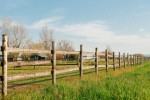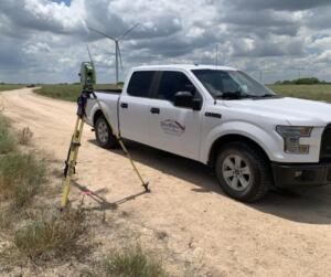
If you’ve searched for a “route survey near me” to support a highway, pipeline, or utility project in South Texas, you already know these jobs aren’t like a simple lot survey. They stretch for miles across Hidalgo, Cameron, Willacy, and Starr County lines, cross private ranch land, and tie into existing infrastructure along corridors like US-281, I-69E, and SH-186. At Southpoint Geodetics, LLC, headquartered in the Rio Grande Valley, we help local engineers, municipalities, and contractors throughout McAllen, Edinburg, Harlingen, Brownsville, and surrounding South Texas communities gather accurate, project-ready survey data before construction begins.
Southpoint Geodetics, LLC is licensed with the Texas Board of Professional Engineers and Land Surveyors (TBPELS) and performs all work under a Texas-licensed RPLS per Texas Occupations Code § 1071; content on this page is for general informational purposes only and does not constitute legal, engineering, or environmental advice — engagement of services is governed solely by a written agreement.
What Is a Route Survey and When Do You Need One?
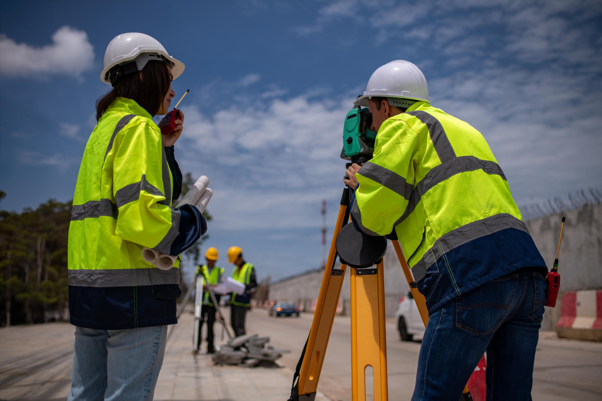
A route survey collects the data needed to plan, design, and build linear projects. Think highways, pipelines, utility corridors, transmission lines, railroads, and drainage improvements. Instead of focusing on a single parcel, it follows a continuous path through varied terrain, often spanning miles and crossing multiple ownerships, jurisdictions, and land use types.
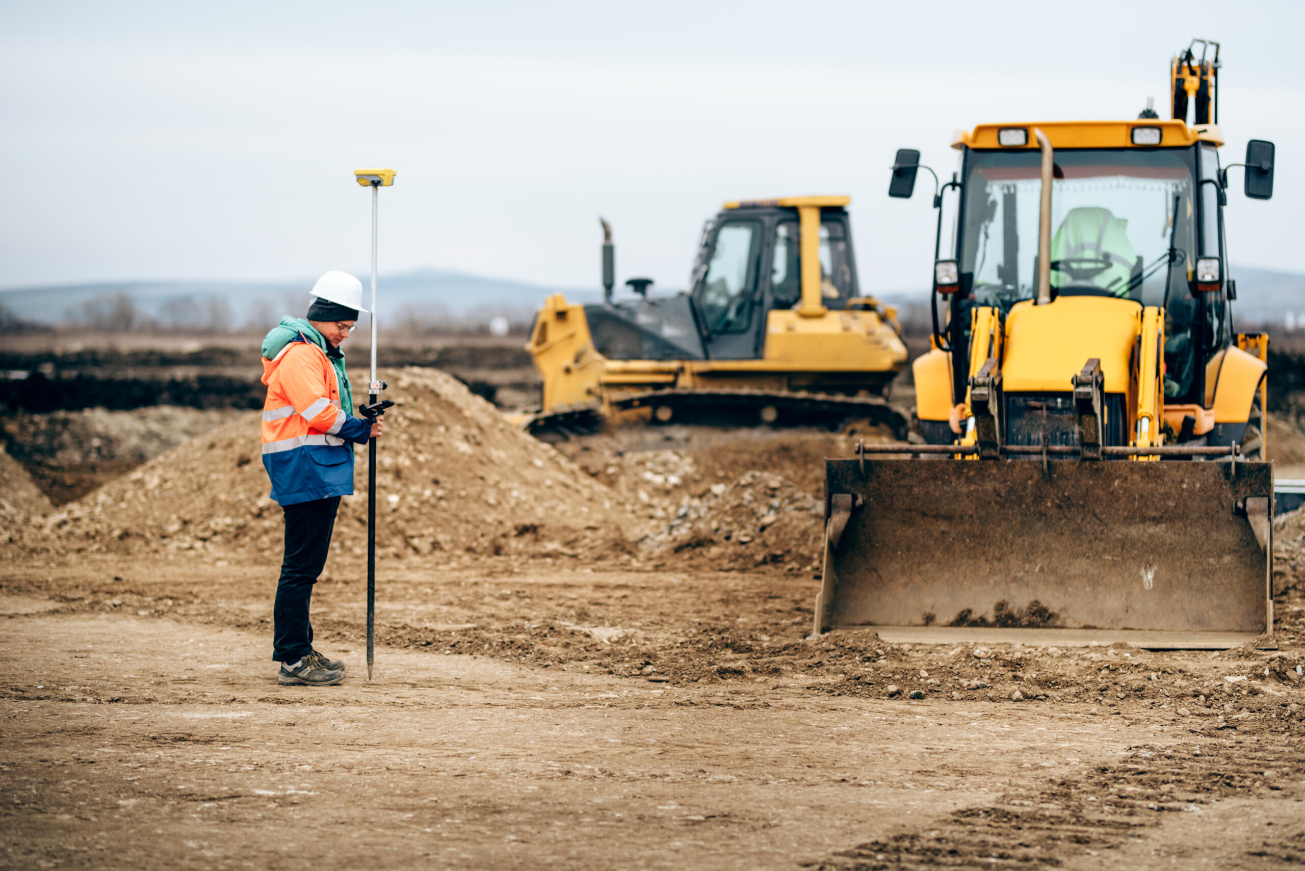
Our team establishes horizontal and vertical control along the corridor, gathers detailed topographic data, and documents existing features that may affect the alignment. That includes roads, fences, utilities, easements, drainage structures, and property boundary crossings. We also identify and flag the presence of environmentally sensitive areas as observed features during fieldwork — environmental permitting and consulting services, where required, are coordinated with licensed environmental professionals. We capture elevation changes, slope conditions, and any obstacles that could influence design choices or construction sequencing.
You typically need one early, before final alignment decisions are locked in. Starting the survey phase early lets engineers compare alignment options using real field data, which reduces surprises during design review or agency approval. It also gives project owners a clearer picture of right-of-way needs, permitting requirements, and potential cost drivers, so budgets and schedules hold up once construction begins.
How to Find a Qualified Route Surveyor Near You
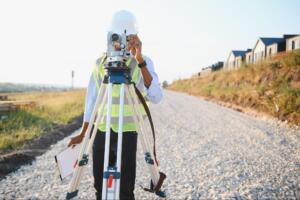
Searching online is a fine starting point, but a route survey demands more than proximity. You want a Texas-licensed Registered Professional Land Surveyor (RPLS) with corridor experience and equipment built for long alignments.
Local knowledge matters too. A surveyor familiar with the Rio Grande Valley understands how flood zones, drainage patterns, and utility easements behave across South Texas land. If you want to compare options, you can explore the full range of services we offer before requesting a quote.
What to Look for in a Local Surveying Team
Keep these factors in mind when shortlisting candidates:
-
Texas RPLS licensure (verifiable through the TBPELS) and documented corridor project history
-
GNSS and conventional survey capabilities for accuracy across long alignments
-
Deliverables compatible with civil engineering software
-
Clear communication with engineers, agencies, and contractors
-
Responsiveness, so your project schedule stays on track
What a Route Survey Costs in South Texas
Route survey pricing varies more than a standard boundary survey because the scope depends on corridor length and complexity. A short utility crossing costs far less than a multi-mile roadway alignment crossing dozens of parcels.
Several factors shape the final number. Terrain difficulty, vegetation, the number of property boundaries involved, and any agency-required documentation as part of the permitting process all play a role.
Rather than guessing, we recommend a scoped quote. When we review your corridor and deliverable requirements up front, you get a clearer cost and fewer surprises later. You can also browse our blog for related topics on survey planning.
How Long a Route Survey Takes From Start to Finish
Timing depends on the same factors that drive cost. Corridor length, access, terrain, and the volume of existing features all influence the schedule.
Field work is only part of the process. After data collection, our team processes the survey, verifies control, and prepares deliverables in formats your design team can use right away.
The biggest schedule advantage comes from starting early. When boundary conflicts, easements, and utility crossings are identified during planning, you have more room to resolve them without delaying acquisition or construction. Waiting until equipment is mobilized usually costs more time, not less.
Common Mistakes to Avoid When Hiring Locally
A few avoidable missteps cause most corridor headaches.
First, choosing a provider based on price alone. A low bid that misses utility crossings or boundary conflicts can trigger costly redesigns later.
Second, hiring too late. Once an alignment is set, options to resolve conflicts shrink quickly.
Third, overlooking agency requirements. Municipal, county, and state agencies often require a route survey as part of permitting, so deliverables need to match those standards from the start.
Finally, skipping clear scope discussions. The more we understand about your corridor early, the more accurate and dependable your survey will be.
Conclusion
You now know what a route survey covers, when to order one, and how to choose a local team with confidence. The right survey, started early, protects your schedule and your budget. When you are ready to plan your corridor, reach out to our team to discuss your project scope and next steps.
What is a route survey and when do you need one?
A route survey collects data needed to plan and build linear projects like highways, pipelines, and utility corridors. It establishes horizontal and vertical control, documents topographic features, and identifies existing infrastructure along the corridor. You typically need one early, before final alignment decisions are locked in.
How much does a route survey cost in South Texas?
Route survey pricing varies based on corridor length, terrain difficulty, vegetation, property boundaries, and agency documentation requirements. A short utility crossing costs less than a multi-mile roadway. We recommend requesting a scoped quote after reviewing your specific corridor and deliverable requirements.
What should I look for when hiring a local route surveyor near me?
Look for a Texas-licensed RPLS with corridor project experience, GNSS and conventional survey capabilities, deliverables compatible with engineering software, and strong communication skills. Local knowledge of flood zones, drainage patterns, and utility easements in South Texas is valuable.
How long does a route survey typically take to complete?
Timeline depends on corridor length, terrain access, and volume of existing features. Field work is just the first phase; the team then processes data, verifies control, and prepares deliverables. Starting early provides the biggest schedule advantage by resolving boundary conflicts and easements during planning.
What does a route survey typically include?
Route surveys include horizontal and vertical control along the corridor, topographic data showing grades and drainage, existing improvements like roads and utilities, property boundary information, and easements. Observed environmental features are documented and flagged for coordination with licensed environmental consultants as needed. Deliverables are formatted for civil engineering software compatibility.
Why is starting a route survey early important for my project?
Starting early allows engineers to compare alignment options using real field data, identify conflicts before equipment is mobilized, and meet agency permitting requirements. Early surveys prevent costly redesigns and delays by addressing boundary conflicts and utility crossings during planning, not construction.