How accurate are professional land survey services? The answer depends on more than the precision of the equipment being used. A reliable survey combines field measurements, property records, physical monuments, applicable standards, and the professional judgment of a licensed surveyor.
At Southpoint Geodetics, LLC, we provide professional land surveying services for property owners, buyers, builders, and project teams across Brownsville, the Rio Grande Valley, and South Texas. Our goal is to provide clear, well-supported survey information before a sale, fence project, new building, or other important property decision moves forward.
How Much Accuracy Can You Expect From A Professional Land Survey?
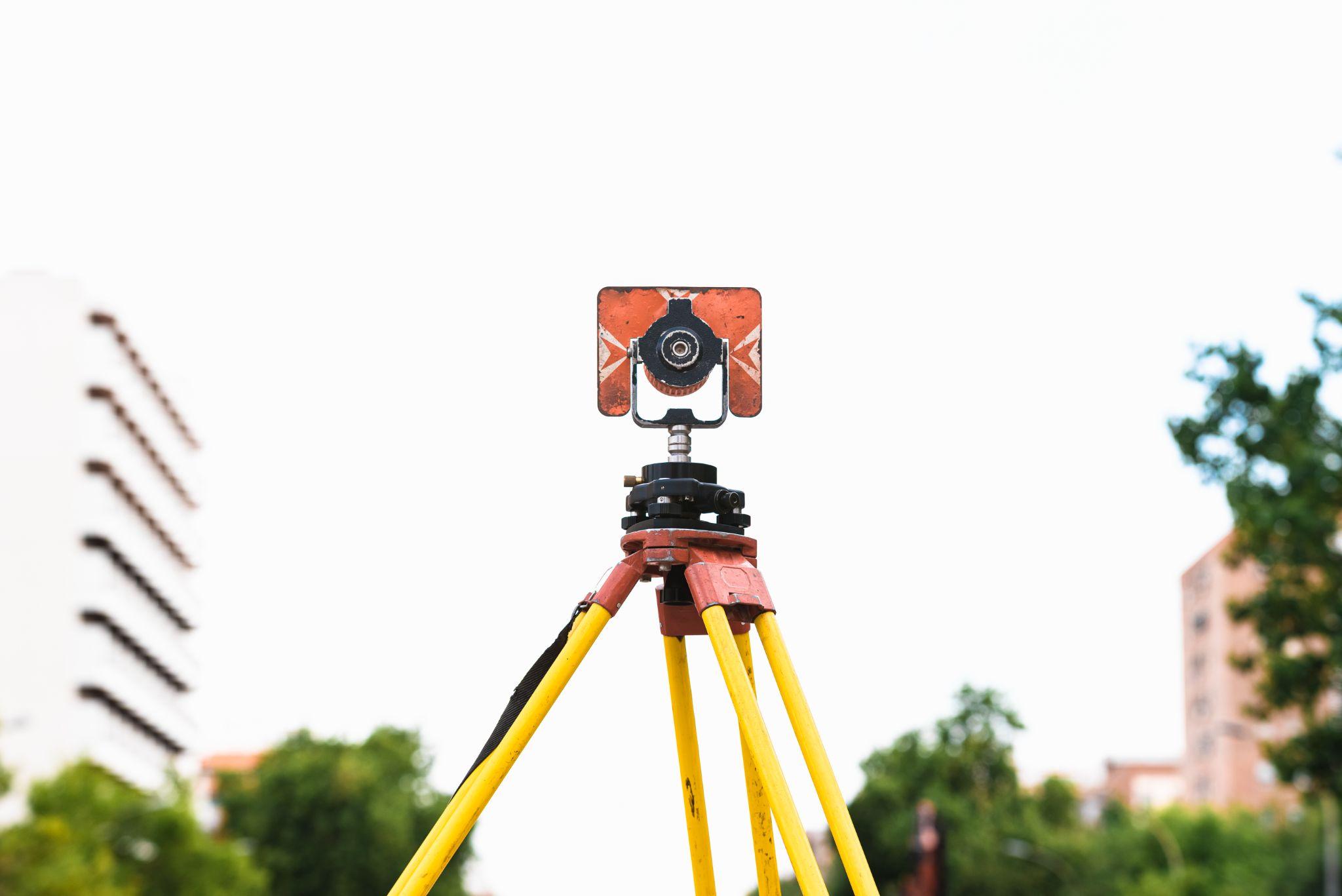
A professionally completed survey should provide measurements and boundary conclusions that are appropriate for its intended purpose. Modern surveying instruments can measure distances, angles, and positions with a high level of precision, but measurement precision is only one part of survey accuracy.
For a boundary survey, the surveyor must also determine where the property line is supported by available records and physical evidence found in the field. That may include deeds, subdivision plats, existing monuments, neighboring property descriptions, fences, and other visible improvements.
For this reason, survey accuracy cannot be reduced to one universal number, such as a fraction of an inch. A compact subdivision lot in Brownsville and a large rural tract elsewhere in South Texas may involve very different records, terrain, access conditions, monuments, and field requirements.
A professional survey is generally much more dependable for property decisions than an online parcel map, handheld GPS reading, visual estimate, or tape measurement. Those tools may be useful for general reference, but they should not replace a professional boundary determination when buying property, building improvements, closing a transaction, or deciding where a fence or structure should be placed.
What Determines The Accuracy Of A Land Survey?

Survey accuracy comes from several connected factors rather than one instrument or measurement. At Southpoint Geodetics, LLC, the process begins by understanding what the client needs the survey for. The work may then include property research, field measurements, review of physical evidence, measurement checks, and preparation of survey documents suited to the project.
The intended use matters because different surveys answer different questions. A boundary survey focuses on property lines, while a topographic survey records elevations and visible site features for planning or design. An as-built survey documents the location or elevation of completed improvements.
Property size and site conditions also affect the process. An irregular tract near a resaca in the Rio Grande Valley may require a different approach from a rectangular residential lot. Dense vegetation, canals, drainage areas, standing water, limited access, or missing property markers may require additional investigation before the surveyor can develop a supportable result.
Clarifying the purpose of the survey before fieldwork begins helps make sure the service matches the property decision the client needs to make.
Survey Type, Equipment, And Field Conditions
Different surveys require different kinds of information. A boundary survey is concerned with property lines and corner evidence, while a topographic survey focuses on elevations and existing site features. An as-built survey documents specified improvements after construction.
Because each survey serves a different purpose, accuracy should be considered in relation to the type and scope of work being performed.
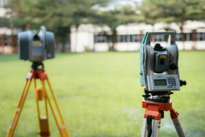
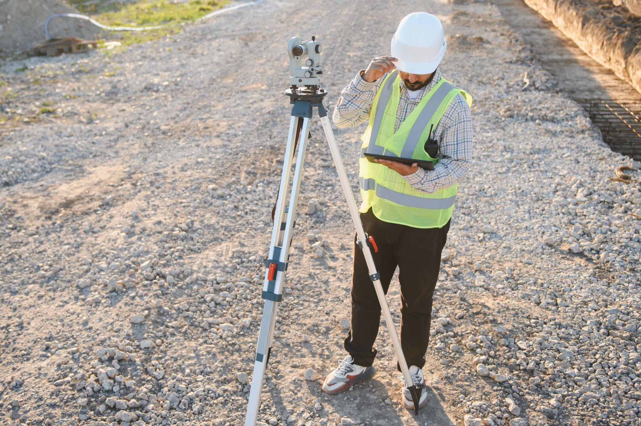
Surveyors may use robotic total stations, levels, Global Navigation Satellite System equipment, data collectors, and other specialized tools. Modern technology can improve field efficiency and measurement precision, but equipment alone does not determine where a property boundary belongs.
For example, an instrument may locate an iron rod very precisely. The surveyor must still determine whether that rod represents the correct property corner and how it relates to deeds, plats, adjoining properties, and other evidence.
South Texas field conditions can also affect how measurements are collected. Heavy brush, standing water, traffic, trees, buildings, or limited access may require different procedures. These conditions do not automatically make a survey less accurate. They simply affect how the surveyor plans, collects, and checks the work.
Property owners can learn more about Southpoint Geodetics’ land surveying services when determining which type of survey may fit their property or project. SouthPoint currently lists services including boundary, topographic, as-built, ALTA/NSPS, engineering, easement, and construction staking surveys.
For projects moving into active construction, SouthPoint also provides construction staking and layout to help transfer approved design locations and elevations into usable field references.
Property Records, Monuments, And Surveyor Expertise
A survey does not begin with an empty map. Depending on the assignment, the surveyor may review deeds, recorded subdivision plats, easements, previous surveys, neighboring property descriptions, and other available documents.
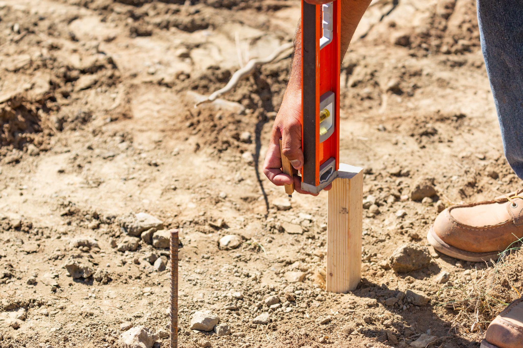
Those records are then compared with evidence found on the property. Physical property markers, also called monuments, may include iron rods, pipes, concrete markers, capped stakes, or other objects used to identify a property corner or boundary point.
Finding a monument does not automatically settle the boundary. A marker may be original and important, but it may also have been moved, damaged, replaced, or installed without professional documentation. The surveyor must compare the marker with the available records and field measurements before deciding what it represents.
This is where professional judgment becomes important. When records, measurements, and physical evidence do not agree, the surveyor must evaluate how those pieces of information fit together rather than simply choosing the newest or most precise measurement.
At Southpoint Geodetics, LLC, field observations are combined with records research and experience with South Texas properties. Familiarity with urban lots, rural tracts, older subdivisions, drainage features, and Rio Grande Valley conditions can help identify areas that deserve closer review.
Why Survey Results May Differ From Fences, Deeds, Or Previous Surveys
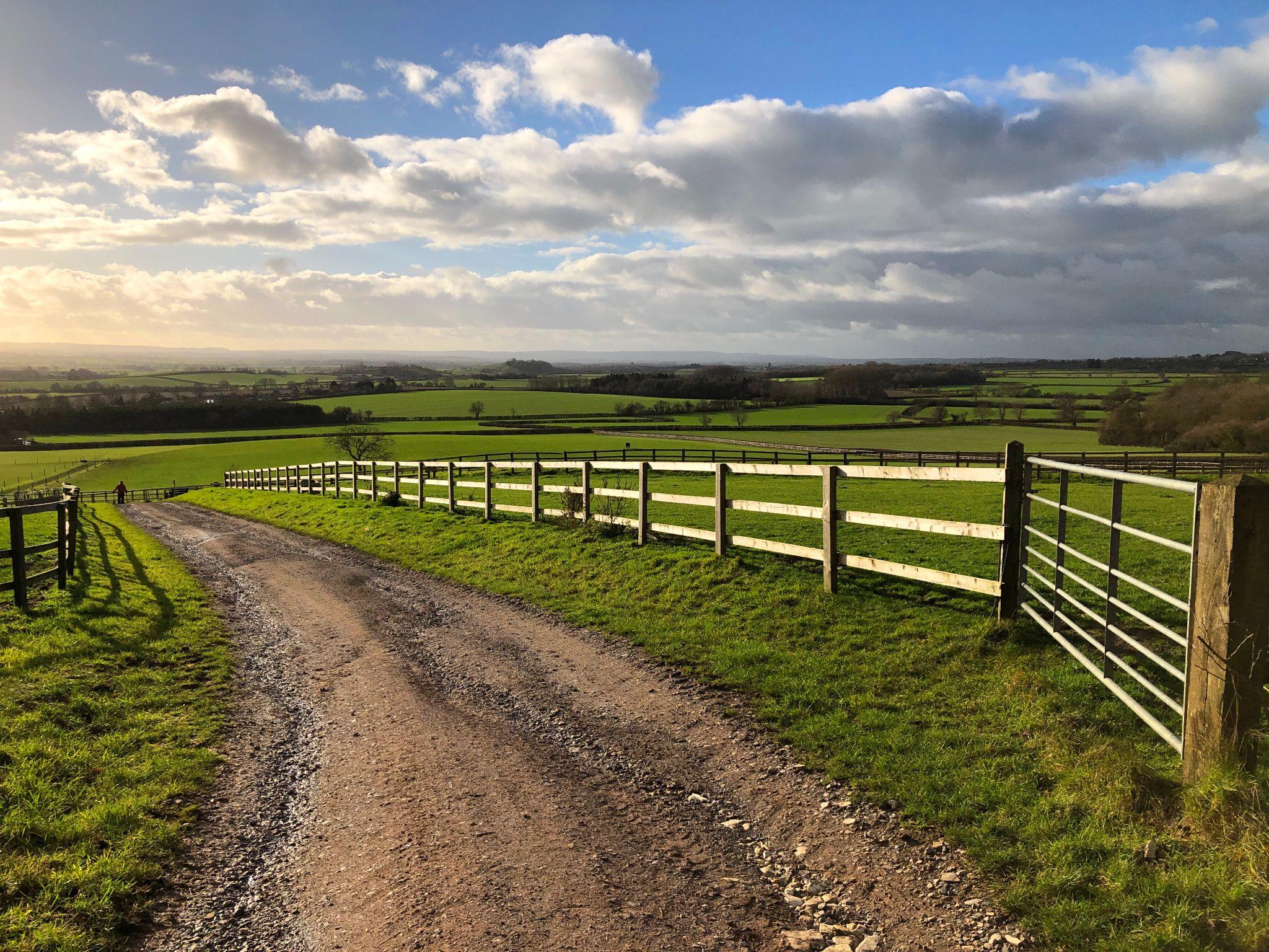
A fence can be useful evidence, but it does not automatically establish the legal property boundary. It may have been built slightly inside the property line, routed around a tree or drainage area, installed by agreement, or placed without a professional survey. On larger rural properties, older fences may also follow practical land-use patterns rather than the exact deed line.
Deeds can create questions too. Older legal descriptions may refer to monuments that no longer exist, use older measurements, or repeat information from earlier records. Previous surveys may also differ because they relied on different documents, located different monuments, or interpreted conflicting evidence in another way.
When survey results do not match, the important question is not simply which survey is newer. It is what records, monuments, measurements, and other evidence support each conclusion. If a disagreement could affect ownership rights or title, a title professional or qualified attorney may also need to review the issue.
Why Online Property Maps May Not Match A Professional Survey
Online parcel maps are useful for getting a general idea of where a property is located, but they should not be used to determine the exact location of a property line.
The boundary lines shown on county appraisal or GIS maps may appear offset from fences, roads, driveways, or buildings. That does not necessarily mean the map is broken or the professional survey is wrong.
The Texas Geographic Information Office explains that statewide parcel data are created by appraisal districts or their vendors primarily to support the appraisal process. The agency specifically notes that these parcel datasets are not survey grade and should not be used for legal purposes.
For that reason, a parcel map, phone GPS location, or aerial image should be treated as a reference rather than a substitute for professional surveying when a property decision depends on the actual boundary.
How To Review Survey Accuracy Before Buying, Building, Or Closing

A survey provides the most value when it is reviewed before a major property decision is finalized. Waiting until a contractor is ready to start work or closing documents are nearly complete can leave less time to investigate an encroachment, easement, access concern, missing monument, or inconsistent legal description.
Start by confirming that the survey covers the correct property. Review the property information, legal description, survey date, and other identifying details. Depending on the survey type, also review the property lines, dimensions, monuments, easements, fences, buildings, driveways, and other improvements shown.
For professional surveying work in Texas, property owners can verify a surveyor’s registration through the Texas Board of Professional Engineers and Land Surveyors. The Board maintains a searchable roster of Registered Professional Land Surveyors, and only registrations listed in “Registered” status are valid for active RPLS practice.
If something does not make sense, ask about it. If a corner marker was not found, a fence sits away from the property line, or the survey differs from an older document, ask what evidence led to the result.
Providing available deeds, subdivision plats, prior surveys, title documents, and project plans before work begins can also help the surveyor understand the property and define the appropriate scope.
Why The Right Survey Scope Matters
Accuracy also depends on requesting the right service for the decision you are making. A buyer may need boundary and improvement information, while a property owner planning a fence may mainly need the boundary located. A builder may require topographic information or construction layout, while a completed project may call for an as-built survey.
These are different assignments, and one survey should not automatically be expected to answer every future property question.
Explaining what you plan to do with the property gives the surveying team a better understanding of the information you need. Sharing previous surveys, title documents, deeds, plats, or construction plans can also help define the scope and identify possible questions before fieldwork begins.
Conclusion

Professional land survey services can provide highly dependable property information when the survey is supported by the right scope, records research, field evidence, measurements, and professional analysis.
Accuracy is not simply about producing the most precise coordinate possible. It is about developing a well-supported survey that helps property owners understand boundaries, plan improvements, and reduce uncertainty before an important property decision is made.
Southpoint Geodetics, LLC provides professional land surveying services for property owners, buyers, builders, developers, and project teams throughout Brownsville, the Rio Grande Valley, and South Texas. Our work supports both property decisions and construction projects by providing clear field information based on the requested scope and intended use.
If you have questions about a property boundary, upcoming purchase, construction project, or other surveying need, contact Southpoint Geodetics to discuss your property and the appropriate survey scope.
How Accurate Are Professional Land Survey Services Compared To Online Maps Or Visual Estimates?
Professional land survey services are much more reliable for property decisions because they combine field measurements with records, monuments, applicable standards, and professional analysis. Online maps and visual estimates may help with general orientation, but they should not be used to establish an exact property boundary.
What Factors Influence The Accuracy Of A Professional Land Survey?
Accuracy can depend on the survey type, intended use, property size and configuration, terrain, access, available records, physical monuments, field conditions, measurement procedures, and the surveyor’s professional analysis.
Why Might A Professional Land Survey Differ From An Existing Fence Or Previous Survey?
A fence may have been placed for convenience rather than exactly on the boundary. Previous surveys may also have used different records, monuments, scopes, or interpretations of conflicting evidence. The surveyor reviews the available evidence to develop a supportable conclusion.
How Does Modern Technology Affect Land Survey Accuracy?
Modern surveying equipment can improve measurement precision and field efficiency. However, technology does not determine property ownership by itself. The surveyor must still compare measurements with deeds, plats, monuments, neighboring properties, and other evidence.
What Can I Do To Help Make Sure The Survey Meets My Needs?
Tell the surveyor whether the work is for a purchase, closing, fence, building project, design work, or another purpose. Provide available deeds, plats, title documents, prior surveys, and project plans so the requested scope matches your intended use.
Can A Professional Land Survey Help Prevent Property Disputes?
A survey can clarify boundary evidence and identify possible conflicts before construction, a transaction, or another major decision. It cannot prevent every dispute, but early surveying can reduce uncertainty and give the appropriate parties more time to address concerns.