Buying a home is one of the biggest financial decisions most people ever make, and much of that decision comes down to understanding exactly what you are purchasing. Where do your property boundaries actually fall? Is the fence placed correctly, or is it simply assumed to be accurate? Could a hidden encroachment or easement affect how you use the land in the future? These are the kinds of questions a land survey is designed to help answer.
At Southpoint Geodetics, LLC, we approach land surveying services for home buyers with a focus on clarity and practical insight. The goal is not to complicate your transaction, but to give you a clearer picture of the property before you finalize your investment. This guide explains why surveys matter, what they can reveal, and how to choose a qualified surveyor before closing.
Why Home Buyers Consider a Land Survey Before Closing
A land survey is often listed among closing documents, but it serves a more meaningful role than a simple checkbox. It provides measured, documented information about the property based on legal records and fieldwork. Without it, buyers may rely on assumptions about boundaries and improvements, which can lead to misunderstandings later.
In many transactions, lenders and title companies request a survey as part of the closing process, though this requirement is not universal. Your real estate agent or mortgage professional will typically advise you on whether one is needed. Even when not required, many buyers choose to obtain a survey to better understand the property’s condition and potential limitations.

For example, a buyer may only discover after closing that a neighboring structure extends onto their lot, or that a fence does not align with the recorded boundary line. Situations like these can require time, negotiation, or legal review to resolve. Identifying them before closing gives buyers more flexibility in how they proceed.
A survey can also support more informed decision-making during negotiations. If an issue is identified, buyers may choose to request corrective action, adjust terms, or evaluate whether the property still meets their expectations. For a broader look at how surveys fit into property ownership across the region, you can read our essential guide for smart property owners in South Texas.
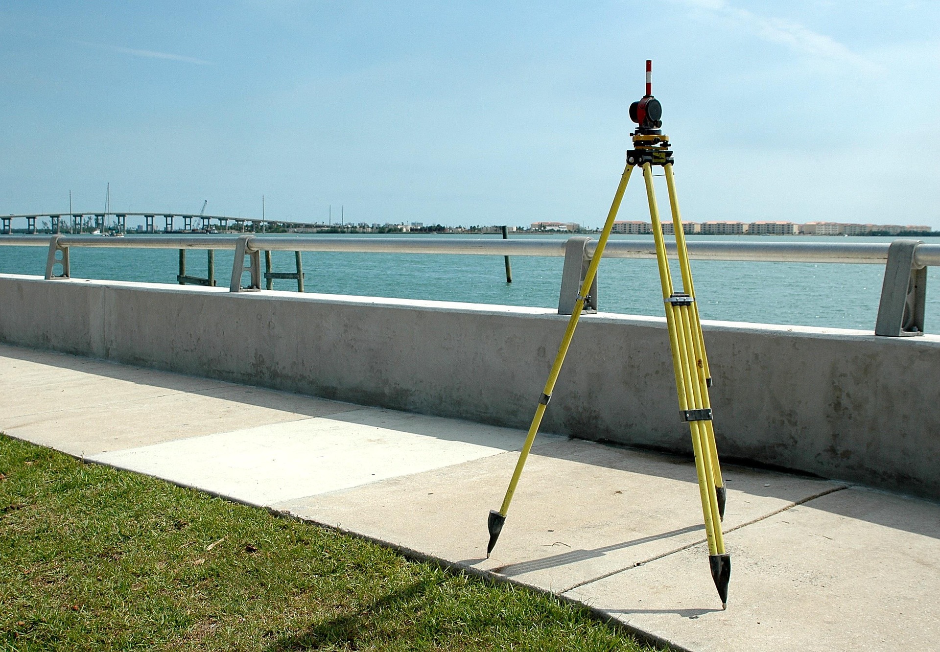
Types of Surveys Home Buyers Should Know About
Not all surveys provide the same level of detail, and choosing the right type depends on your property and the needs of your transaction. Understanding the basic categories can help you ask more informed questions and avoid unnecessary costs.
Boundary Surveys
A boundary survey is one of the most common surveys used in residential purchases. It identifies the legal limits of a parcel based on its recorded description and available evidence. Surveyors may locate or set markers at property corners and along boundary lines to help define the parcel’s extent.
This type of survey is often sufficient for standard home purchases where the primary concern is confirming property lines and identifying visible encroachments.
ALTA/NSPS Land Title Surveys
An ALTA/NSPS Land Title Survey provides a more detailed view of the property. In addition to boundary information, it includes data about visible improvements, certain easements, and access points. These surveys follow national standards and are often requested in commercial transactions or higher-value residential deals.
Because of the additional detail and coordination involved, ALTA surveys typically require more time and cost more than basic boundary surveys.
Elevation Certificates
If a property is located in or near a flood-prone area, an elevation certificate may be required for flood insurance. This document records the elevation of the structure relative to base flood levels established by FEMA.
In parts of South Texas where flooding is a known concern, elevation data can play an important role in understanding insurance requirements and potential risks.
Improvement and Topographic Surveys
Improvement surveys document visible features on a property, such as buildings, driveways, fences, and utility features. When combined with topographic data, they can also show elevation changes and drainage patterns.
These surveys are particularly useful for buyers planning future construction, landscaping, or additions, as they provide a clearer picture of existing site conditions.
What a Survey Reveals About Your Property
A survey does more than outline a parcel on paper. It provides insight into several aspects of the property that may affect ownership, use, and future plans.
Common elements identified in a survey include:
-
Property lines and corner locations based on recorded data and field measurements
-
Encroachments, such as structures or improvements extending across boundaries
-
Easements that grant access or usage rights to third parties, including utilities
-
The location of visible improvements like homes, fences, and driveways
-
General setback relationships that may influence future construction
Surveyors rely on established reference systems to maintain consistency and accuracy. The Texas Department of Transportation maintains survey control points, which help support standardized measurement practices across the state.
Having access to this information early in the buying process can help you better understand how the property functions in practice, not just how it appears in listing materials.
How Much a Survey Costs and How Long It Takes
Cost and turnaround time are two of the most common questions buyers have, and both depend on several variables.
Factors that influence pricing include:
-
The size and configuration of the property
-
The complexity of the legal description and historical records
-
Terrain conditions, vegetation, and site accessibility
-
The type and scope of the survey requested
A small residential lot with clear documentation is generally faster to survey than a larger parcel with unclear boundaries or difficult access. In many cases, standard residential surveys are completed within several days to a couple of weeks after fieldwork begins. However, scheduling availability, weather conditions, and workload can all affect timing.
Because surveys can influence closing timelines, ordering early in the process can help reduce the likelihood of delays. If you want a more accurate estimate based on your property, it is best to reach out to our team before setting firm deadlines.
Choosing the Right Surveyor in South Texas: Land Surveying Services For Home Buyers

Selecting a qualified surveyor for land surveying services for home buyers is an important part of the process. In Texas, land surveys must be conducted by a Registered Professional Land Surveyor (RPLS), so verifying licensing is an essential first step.
Beyond credentials, local experience can make a meaningful difference. Surveyors who regularly work in the Rio Grande Valley, including areas such as McAllen, Brownsville, and Harlingen, are often more familiar with regional records, environmental conditions, and common property issues.
This familiarity can contribute to a smoother process, particularly when dealing with older subdivisions, rural tracts, or properties with limited documentation.
At Southpoint Geodetics, LLC, we provide surveying services throughout South Texas using a combination of modern GPS technology and established field methods. We also coordinate with real estate agents, title companies, and lenders to help keep transactions moving forward efficiently. You can explore the full range of services we offer or browse our blog for related topics to learn more.
Do I really need land surveying services for home buyers if my lender does not require one?
Even when not required, a survey can provide additional insight into boundary lines, encroachments, and easements. Some title insurance policies exclude certain issues that surveys may help identify, so buyers often consider a survey as part of their overall due diligence.
How long is a land survey valid for home buyers?
Surveys do not have a fixed expiration date, but their usefulness depends on whether property conditions have changed. Many lenders and title companies prefer recent surveys, particularly if improvements or boundary markers may have shifted over time.
Who pays for the land survey, the buyer or the seller?
Payment responsibility varies depending on the transaction and local practices. In many cases, the buyer covers the cost, though sellers may contribute or pay as part of negotiated terms.
What happens if the survey reveals an encroachment or boundary issue?
If a concern is identified before closing, buyers may choose to renegotiate, request corrective measures, seek legal guidance, or reassess the purchase. Addressing these issues early generally provides more options than discovering them after closing.
Can I use the seller’s existing survey instead of ordering a new one?
A seller’s survey may be acceptable if it is recent and reflects current property conditions. However, acceptance depends on lender and title company requirements. If there have been changes to the property, a new survey may provide more relevant information.