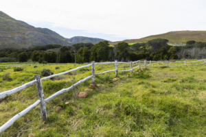
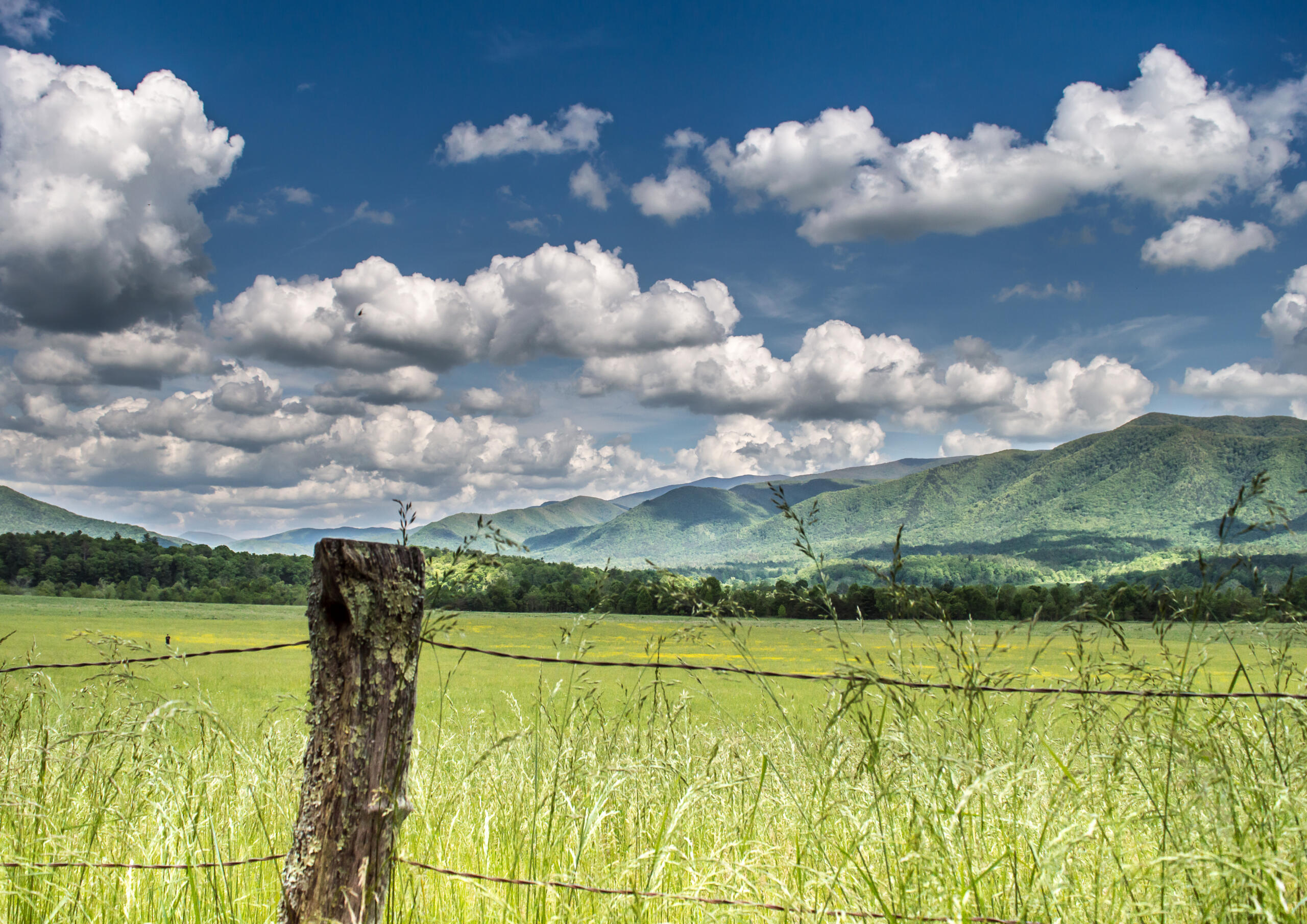
If you have searched for a “Right-of-Way Survey near me” in South Texas, chances are you are planning a road, pipeline, utility, or drainage project that crosses more than one property line. At Southpoint Geodetics, LLC, based in the Rio Grande Valley, we help landowners, municipalities, and project teams across Hidalgo, Cameron, Willacy, and Starr Counties understand exactly what these surveys involve, what they cost, and how to move forward with confidence. From McAllen and Edinburg to Brownsville, Harlingen, and the surrounding communities, our licensed local surveyors deliver accurate, code-compliant right-of-way surveys backed by deep knowledge of South Texas land records, TxDOT requirements, and regional title considerations.
Southpoint Geodetics, LLC is licensed by the Texas Board of Professional Engineers and Land Surveyors (TBPELS), with all work performed under a Texas-licensed Registered Professional Land Surveyor (RPLS) per Texas Occupations Code § 1071.
This page is for general informational purposes only and does not constitute legal, engineering, or environmental advice. Services are governed solely by a separately executed written agreement.
What a Right-of-Way Survey Actually Tells You
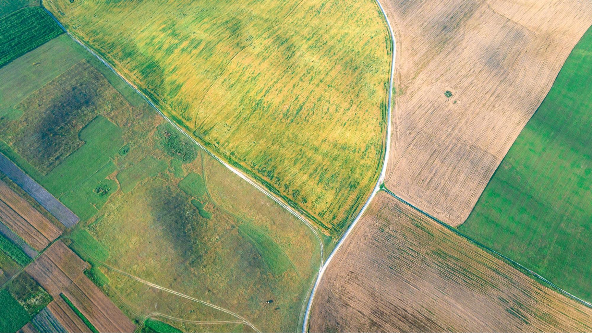
A right-of-way survey brings together field measurements, deed research, and recorded document review to show exactly what land is being acquired or restricted, and how it relates to neighboring parcels.
It produces the documents your project depends on, including:
-
Right-of-way maps showing acquisition limits and existing features
-
Parcel plats for individual property takes and easements
-
Metes and bounds descriptions for legal records
-
Identification of utilities, improvements, and encroachments within the corridor
This level of detail protects everyone. Landowners learn precisely what area is affected, and engineers gain the accurate corridor geometry they need to finalize design.
When You Need a Right-of-Way Survey
Not every project calls for this level of documentation. Standard boundary and topographic surveys cover many site needs. But any project that acquires or restricts land across multiple ownership parcels usually requires a right-of-way survey.
Common situations include:
-
Roadway widening and new road construction
-
Pipeline and utility corridor projects
-
Drainage and flood control improvements
-
Public infrastructure at the municipal, county, or state level
Private developers building access routes across several properties face the same requirements. Starting early gives your team time to resolve boundary conflicts before acquisition talks begin.
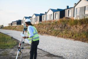
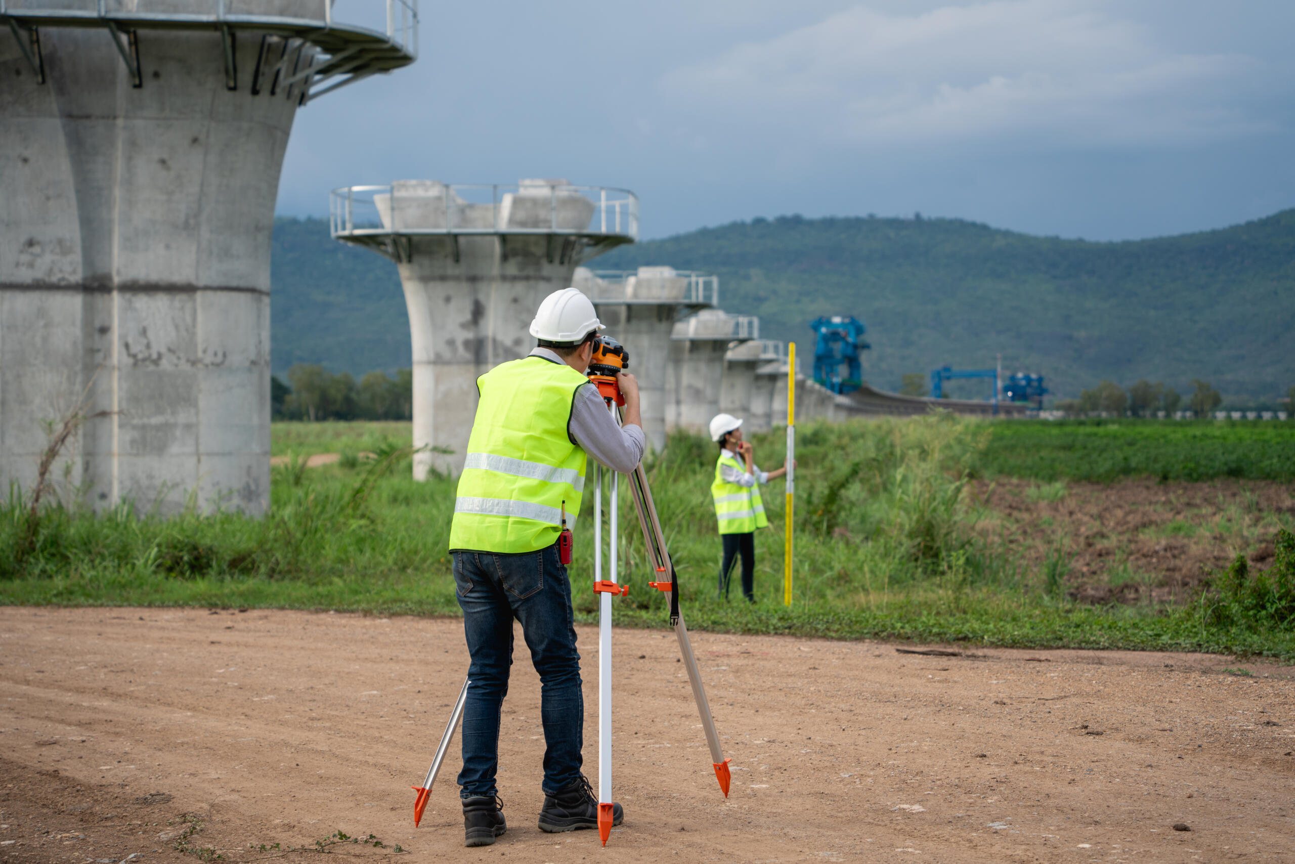
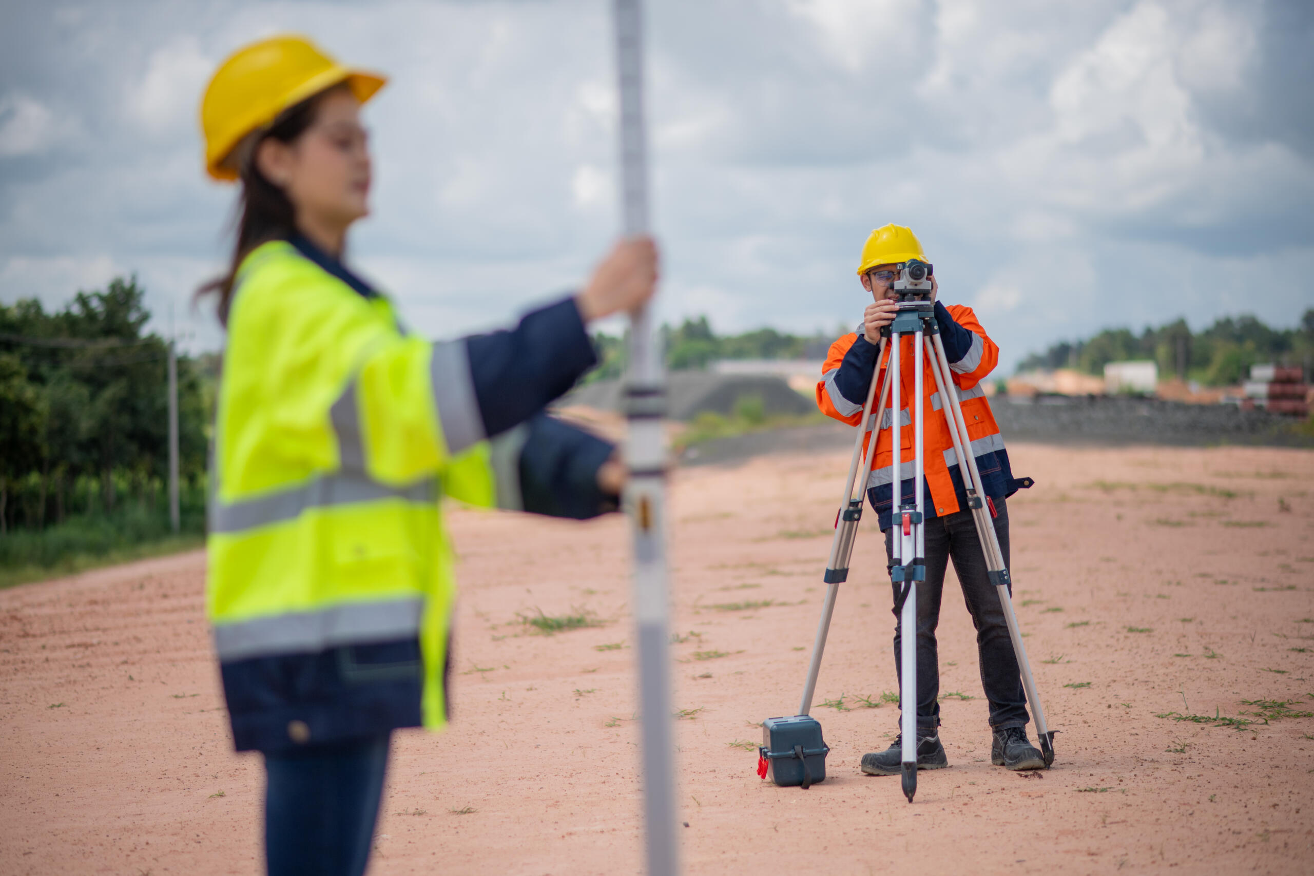
What to Expect During the Survey Process
The work begins long before our crews reach the field. We start by reviewing recorded instruments, deeds, and plats to establish the legal basis for each parcel and easement along the corridor.
From there, we set precise horizontal and vertical control, then locate boundaries, existing improvements, and utilities on the ground. We resolve boundary questions for every affected parcel and document conflicts that need attention.
The final deliverables, including right-of-way maps and metes and bounds descriptions, are prepared to fit engineering and title review workflows. We can also provide construction staking to support field operations once your project moves ahead.
How Much It Costs and How Long It Takes
Right-of-way survey costs depend on corridor length, the number of parcels involved, terrain, and how many existing easements must be researched and resolved. A short utility easement across one property is far simpler than a multi-mile roadway corridor crossing dozens of owners.
Timing follows the same logic. Document research, fieldwork, and the preparation of plats and legal descriptions all take time, and complex corridors require more of it.
The most reliable way to get clear numbers is a project review. We assess scope first, then provide a quote that reflects your actual corridor rather than a guess.
Why Hiring a Local South Texas Surveyor is Important
Right-of-way work isn’t just a technical exercise, it’s a legal and logistical puzzle shaped by state statutes, county recording practices, and decades of local development history. In Texas, easements may exist through written instruments, plat dedications, prescriptive use, or by implication under law, which means not all of them show up in a basic title search. Sorting that out takes someone familiar with how land records, municipal requirements, and development patterns work across the region.
From Harlingen and Brownsville through McAllen, Edinburg, and the wider Rio Grande Valley, we understand the local terrain, drainage realities, floodplain considerations, and recording practices that shape these projects. We know which county clerks hold the historical plats, how irrigation district easements interact with private property lines, and where colonia developments have created overlapping or undocumented claims. That regional knowledge helps us flag conflicts early, coordinate efficiently with TxDOT, utility providers, and municipal planning departments, and keep your schedule on track.
Beyond technical accuracy, working with a local firm means faster response times when field conditions change, in-person meetings with stakeholders when disputes arise, and a team that’s accountable to the same community your project serves. We’ve built long-standing relationships with attorneys, title companies, engineers, and contractors throughout South Texas, which streamlines the coordination that often slows down right-of-way projects elsewhere. You can explore the full range of services we offer to see how we support infrastructure work across South Texas.
How to Choose the Right Surveyor Near Me
Look for a licensed Registered Professional Land Surveyor with corridor and right-of-way experience, not just general boundary work. Ask whether they prepare deliverables compatible with engineering and title review, and how they handle parcel plats and metes and bounds descriptions.
It also helps to choose a team that works regularly with engineers, developers, municipalities, and title companies, since coordination keeps a corridor project moving. If you want background on related survey topics first, you can browse our blog for related resources before reaching out to discuss your specific corridor.
Conclusion: Request For A Right-of-Way Survey Near Me
You now know what a right-of-way survey covers, when it is required, and how cost and timing are shaped by your corridor. The clearer your documentation, the fewer surprises during acquisition and construction.
When you are ready, contact us to discuss your property and the right-of-way survey your project needs.
What is a right-of-way survey and what does it include?
A right-of-way survey, which is part of the land surveying services we offer, combines field measurements, deed research, and recorded document review to show what land is acquired or restricted across multiple properties. It includes right-of-way maps, parcel plats, metes and bounds descriptions, and identification of utilities, improvements, and encroachments within the corridor.
When do I need a right-of-way survey near me for my project?
You need a right-of-way survey when your project acquires or restricts land across multiple ownership parcels. Common situations include roadway widening, pipeline and utility corridors, drainage improvements, and public infrastructure projects. Starting early helps resolve boundary conflicts before acquisition talks begin.
How much does a right-of-way survey near me cost?
Right-of-way survey costs depend on corridor length, number of parcels involved, terrain complexity, and existing easements requiring research. A short easement is simpler than a multi-mile roadway crossing dozens of owners. The most reliable way to get accurate pricing is a project review with your surveyor.
What makes a local South Texas surveyor important for right-of-way surveys?
In Texas, easements may exist through written instruments, plat dedications, or by implication under law, meaning not all appear in basic title searches. Local surveyors understand regional terrain, drainage realities, and recording practices that flag conflicts early and keep projects on schedule.
What deliverables will I receive from a right-of-way survey?
Deliverables include right-of-way maps showing acquisition limits and existing features, parcel plats for property takes and easements, metes and bounds descriptions for legal records, utility identification, and construction staking. All documents are prepared to meet engineering and title review workflow requirements.
How long does a right-of-way survey near me take to complete?
Timing depends on corridor complexity. Document research, fieldwork, and plat preparation all take time. Simple utility easements complete faster than multi-mile roadway corridors crossing dozens of owners. Your surveyor will provide a realistic timeline based on your specific project scope.