Right-of-Way Surveys (Parcel Plats & Metes & Bounds)
Right-of-way surveys are essential for acquiring and defining land needed for public and private infrastructure projects such as roadways, pipelines, and utility corridors. Our team provides accurate corridor mapping, boundary resolution, and precise staking to support every phase of your project — from planning and acquisition to final construction.
The preparation of right-of-way maps along with parcel plats and metes & bounds descriptions clearly defines easements, acquisitions, and property impacts. Each deliverable is carefully prepared to meet project requirements, ensuring clarity for landowners, engineers, title companies, and regulatory agencies.
Why This Survey Is Important for Infrastructure Projects
Infrastructure projects cross multiple ownership boundaries, interact with existing easements, and require precise legal descriptions before any land can change hands. A right-of-way survey brings together field measurements, deed research, and recorded document review to produce a clear picture of what is being acquired and how it relates to adjacent properties.
This level of documentation protects all parties involved. Landowners understand exactly what area is affected. Engineers rely on accurate corridor geometry to finalize design. Title companies and legal counsel need clearly defined parcels to complete transactions without ambiguity or delay.
By resolving boundary conflicts and access questions early, right-of-way surveys help avoid disputes that can stall projects once construction is underway.
What a Right-of-Way Survey Typically Includes
While scope varies by project type and corridor length, most right-of-way surveys include several core components:
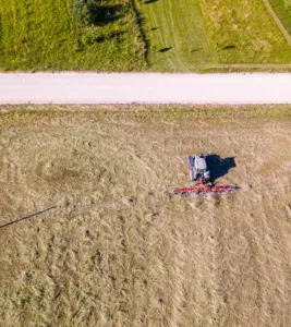
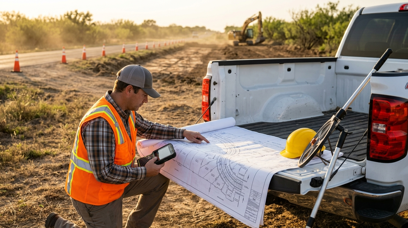
- Corridor mapping with precise horizontal and vertical control
- Boundary resolution for affected parcels along the alignment
- Right-of-way maps showing acquisition limits and existing features
- Parcel plats for individual property takes and easements
- Metes & bounds descriptions for legal documentation
- Identification of improvements, utilities, and encroachments within the corridor
- Construction staking to support field operations
- Deliverables compatible with engineering and title review workflows
When This Survey Is Required
Not every land project requires right-of-way documentation. Standard boundary and topographic surveys are sufficient for many site development needs. However, any project that acquires or restricts land across multiple ownership parcels — whether through fee purchase, permanent easement, or temporary construction easement — typically requires this level of survey work.
Common project types include roadway widening and new construction, pipeline and utility corridor projects, drainage and flood control improvements, and public infrastructure at the municipal, county, or state level. Private developers undertaking utility corridors or access routes across multiple properties face the same documentation requirements.
Starting the survey process early gives project teams time to identify boundary conflicts, locate existing easements, and prepare legal descriptions before acquisition negotiations begin.
Ready to Request a Quote?
If you are preparing for a roadway, pipeline, utility, or drainage corridor project, starting the survey process early can help prevent delays and protect your project schedule. Southpoint Geodetics, LLC. works closely with engineers, developers, municipalities, and contractors to deliver right-of-way surveys that align with project requirements and timelines.
Request a quote today to discuss your corridor, review deliverable requirements, and understand what is needed before acquisition or construction begins.