Where does your property line fall? Is that fence on your land or your neighbor’s? Can you legally build where you want to? Will your lender accept the survey you already have? Does your title match what is actually on the ground?
Buying, selling, or building on land in South Texas raises questions like these, and most of them come back to one thing: understanding where your property begins and ends.
That is the role of professional land survey services in South Texas — a legally regulated process in which licensed land surveyors measure, map, and document real property so owners, buyers, builders, and lenders can rely on consistent, documented information.

At Southpoint Geodetics, LLC, we provide professional land surveying services across South Texas, serving property owners and real estate professionals throughout Brownsville, the Rio Grande Valley, and surrounding communities.
This guide addresses common questions: Why do surveys matter? What do different survey types involve? How does the process work? And what should you consider when choosing a surveyor? Whether you are a first-time buyer or planning a development project, accurate surveying in South Texas plays an important role in supporting informed decisions.
Why Accurate Land Surveys are Important in South Texas
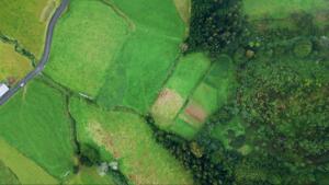
Land in the Rio Grande Valley and across South Texas carries both financial and personal value. Uncertainty about a boundary line can contribute to disputes, closing delays, or construction complications, so clarity around boundaries can reduce those risks.
Professional land survey services in South Texas help clarify property boundaries, may identify encroachments, and document features that can affect how land is used. When information is clearly established and documented, it supports smoother transactions and better coordination among parties such as buyers, sellers, lenders, and neighbors.
The terrain and development patterns here add their own considerations. Older legal descriptions, shared access points, and rural acreage near communities like Harlingen and Brownsville often require careful records research and precise fieldwork before a surveyor finalizes their opinion on boundary location.
Common Types of Land Surveys in South Texas
South Texas presents a wide range of property situations, and licensed land surveyors match each one with appropriate methods and survey types.
Boundary Surveys
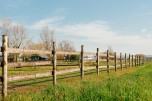
A boundary survey establishes the legal corners and lines of your property based on recorded deeds, plats, and field measurements. Landowners often request one before closing on a purchase, resolving a neighbor concern, or building a fence or structure near a property line.
This type of survey focuses on where your record title indicates your ownership limits are, and the surveyor’s professional opinion is shown on a signed and sealed drawing.
ALTA/NSPS Land Title Surveys
An ALTA/NSPS land title survey is a comprehensive survey type commonly required by lenders and title companies for commercial or higher‑value transactions. It documents boundaries, easements, encroachments, access points, and visible improvements on a standardized map accepted by many national lenders and insurers.
If a lender’s commitment or title requirement specifically calls for an ALTA/NSPS survey, this is typically the survey format they expect to see.
Topographic Surveys
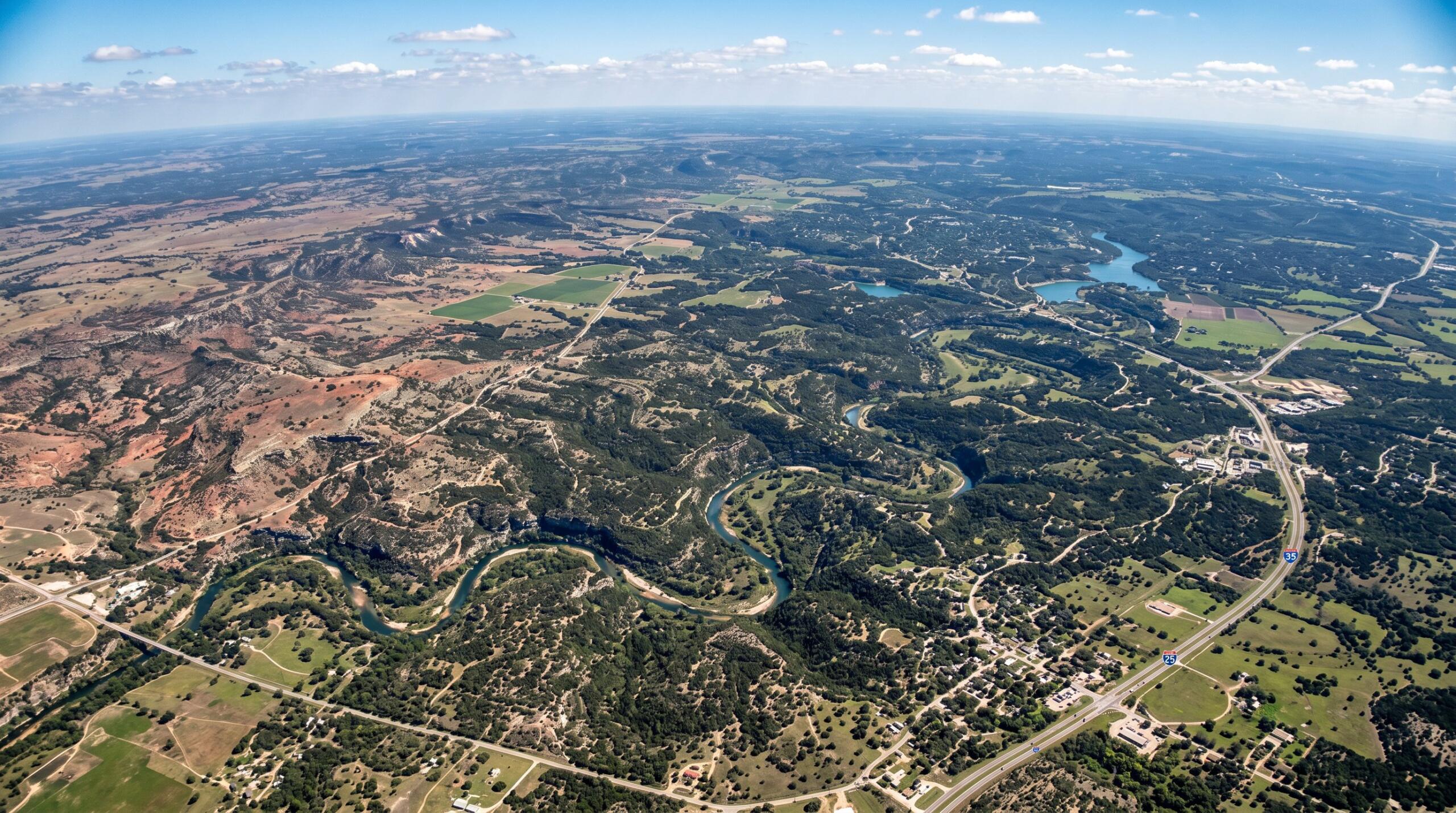
Engineers and architects often rely on topographic (topo) surveys to understand drainage patterns, elevation changes, and the location of existing structures before designing a building or subdivision. In low-lying parts of South Texas where flooding and drainage are important considerations, a topo survey can help design teams anticipate issues and adjust plans earlier in the process.
These surveys typically show contours, spot elevations, and physical features such as buildings, driveways, ditches, and utilities.
Construction Staking and As‑Built Surveys
Once project plans are complete, land surveyors can provide construction staking, which translates design drawings into physical markers on the ground so contractors know where to build. At project completion, an as‑built survey documents where improvements were actually constructed.
As‑built surveys are frequently requested by permitting authorities and lenders to confirm that improvements generally match approved plans and are in acceptable locations for utilities, setbacks, and easements.

The Land Surveying Process in South Texas: Professional Land Survey Services in South Texas
Understanding what happens during a professional land survey can help you prepare, ask informed questions, and avoid unnecessary delays.
Step 1 – Project Scoping and Records Research
Licensed Texas land surveyors begin by reviewing existing deeds, plats, easements, and recorded documents associated with your property. In South Texas, where older Spanish land grants and rural acreage descriptions are common, this research step can be especially important.
During this phase, your surveyor looks for gaps, overlaps, and ambiguities in the written record and considers how those might affect the final boundary opinion.
Step 2 – Fieldwork and Boundary Location
After initial research, the field crew visits your property to search for existing monuments, measure distances and angles, and compare physical evidence to record information. Modern GPS and total station equipment, used alongside traditional field techniques, allow surveyors to collect measurements with a high degree of precision appropriate for boundary work.
Whether the parcel is a single residential lot in Brownsville or several thousand acres of ranch land near Harlingen, this fieldwork supports the surveyor’s professional judgment on where record boundaries should be located on the ground.
Step 3 – Data Processing and Map Preparation
Back in the office, your surveyor processes the measurements, reviews them against the legal description, and resolves conflicts between record calls and physical evidence where possible. The final survey map or plat will typically show boundary lines, corner markers, easements, encroachments, visible improvements such as fences and structures, and, for topographic work, relevant terrain features.
The level of detail depends on the survey type and on what you or your lender, title company, or design team has requested.
Step 4 – Delivery and Recording
When the work is complete, you receive a signed and sealed survey drawing or plat from a licensed Texas land surveyor. This document can be used by your title company, lender, engineer, architect, or attorney as a reference in their own work.
For subdivision plats and certain other projects involving land title changes, the final plat may be submitted for recording in county deed or plat records, which creates a public record related to your property’s configuration.
Working with Licensed Texas Land Surveyors
Professional land survey services in South Texas provides documented information that can support your property rights for as long as you own or develop the land.
Whether you need a boundary survey to help address a neighbor issue, an ALTA/NSPS land title survey for a commercial transaction, or construction staking before breaking ground on a new build, working with experienced, licensed land surveyors in South Texas helps make each step more organized and defensible.
At Southpoint Geodetics, LLC, our team combines modern GPS technology with familiarity with Texas surveying law and local land records. We serve landowners throughout Brownsville, Harlingen, the Rio Grande Valley, and the broader South Texas region — from single residential lots to large agricultural tracts.
If you would like to discuss what a survey might involve for your specific property, we make it straightforward to start the conversation. Call us at (956) 368‑5074, request a survey quote via our Contact Page or email Info.southpointsurvey@gmail.com to request a consultation and project quote.

What is a professional land survey and why might I need one in South Texas?
A professional land survey identifies property boundaries, documents ownership limits, and may reveal possible encroachments using a combination of records research and field measurements. In South Texas, surveys are frequently used in connection with buying, selling, financing, or building to help reduce uncertainty and support planning.
What types of land surveys does Southpoint offer in Brownsville and the Rio Grande Valley?
Southpoint offers boundary surveys, topographic surveys, ALTA/NSPS land title surveys, engineering surveys, easement surveys, as‑built surveys, farm and ranch surveys, and construction staking. Each survey type addresses different needs, from routine property transactions to complex development and utility projects.
How long does it take to receive a land survey in South Texas?
Timelines depend on factors such as property size, terrain, record complexity, and current workload. For a more precise estimate, you can contact Southpoint at (956) 368‑5074 or Info.southpointsurvey@gmail.com with your project details.
What is the difference between a boundary survey and a topographic survey?
A boundary survey focuses on establishing property lines and corners in accordance with legal descriptions and evidence on the ground. A topographic survey maps physical features such as terrain contours, buildings, drainage patterns, and other site elements that design professionals use for planning and engineering.
How much does a land survey cost in South Texas?
Survey fees vary with property size, shape, vegetation, access, record clarity, and survey type. Southpoint can provide pricing tailored to your specific project and budget once they review your location and scope.
Why hire a licensed land surveyor instead of relying only on old property records?
Licensed surveyors evaluate deeds and maps alongside current field conditions to form a professional opinion about boundary location. Older descriptions can be incomplete, inconsistent, or based on landmarks that no longer exist, so a current survey provides updated documentation that many parties rely on in transactions and land use decisions.
Is there any way to get land surveyed for free in South Texas?
Most professional land surveys in Texas involve a fee because the surveyor is providing licensed services, carrying liability, and using specialized equipment and staff. However, you may be able to access some existing information at no cost. Check our list of services.
Recorded subdivision plat maps filed with the county clerk often show lot dimensions, and some municipalities and counties publish GIS parcel maps online for general reference; these resources can be useful for preliminary orientation but do not replace a legal survey. If you are buying property, it is reasonable to ask whether a relatively recent survey exists; in some cases, building on prior work can reduce your costs compared to starting entirely from scratch.