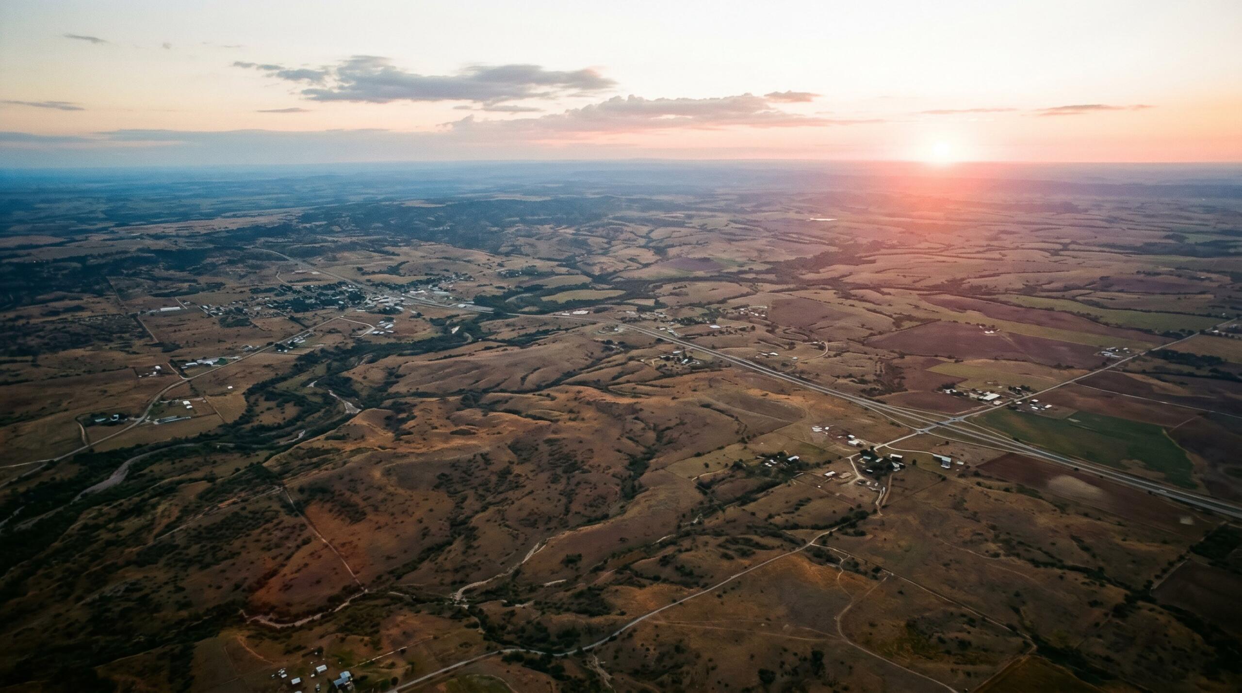
So you’ve found a piece of land in South Texas that’s calling your name—maybe it’s a quiet stretch outside San Antonio, a hunting tract in the Brush Country, or that perfect spot to finally build the house you’ve been sketching on napkins for years. Exciting, right? But before you get swept up in fence lines and floor plans, there’s one question that tends to stop buyers in their tracks: do I need a land surveyor to buy land?
Yes, in almost every case you should hire a licensed land surveyor before buying land in Texas. A boundary survey confirms the exact property lines, identifies easements and encroachments, and protects you from costly legal and title issues that a deed or tax map alone can’t reveal.
At Southpoint Geodetics, LLC, we hear this question almost every week, and the longer answer is worth a few minutes of your time—because a good survey can save you from headaches that cost far more than the survey itself. Here’s what every Texas buyer should know about working with a surveyor before you sign on the dotted line.
What a Land Surveyor Actually Does in a Property Purchase
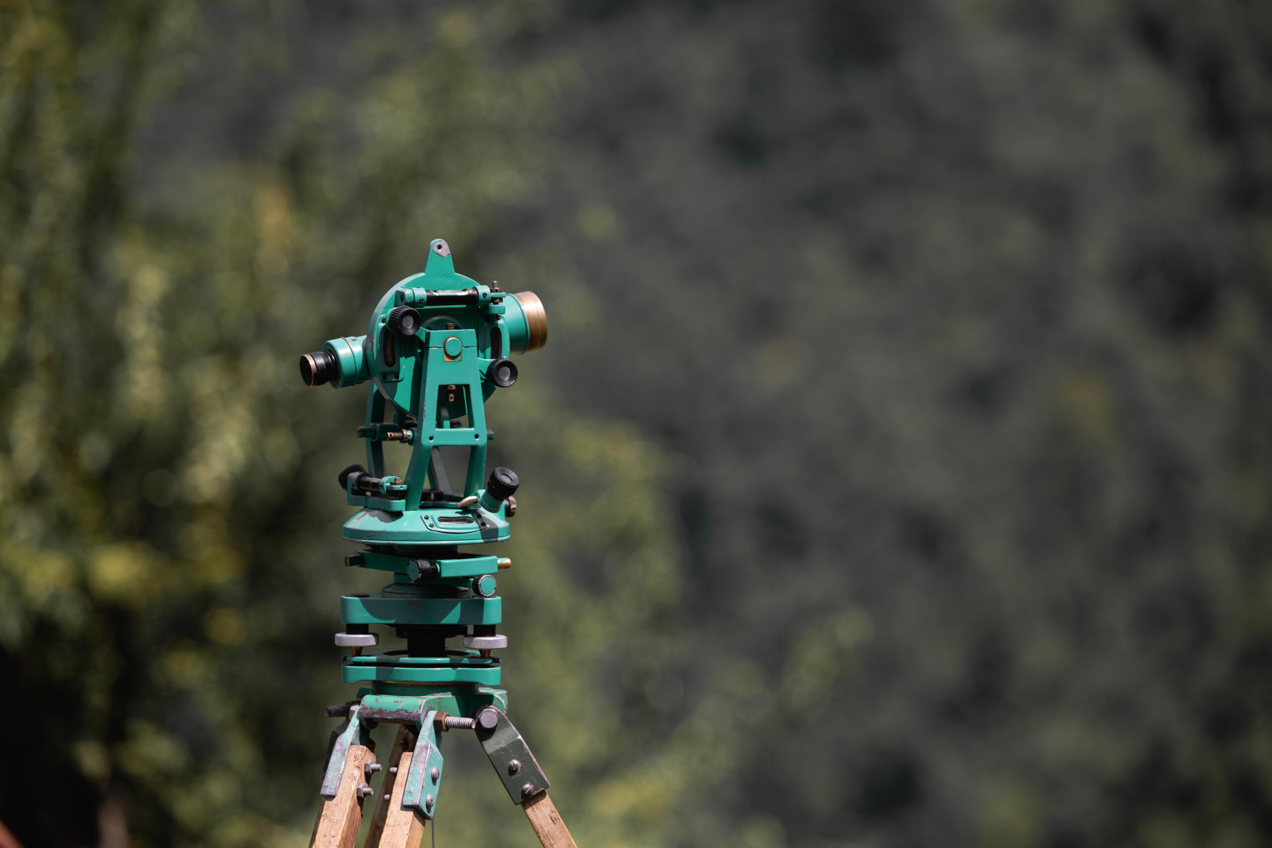
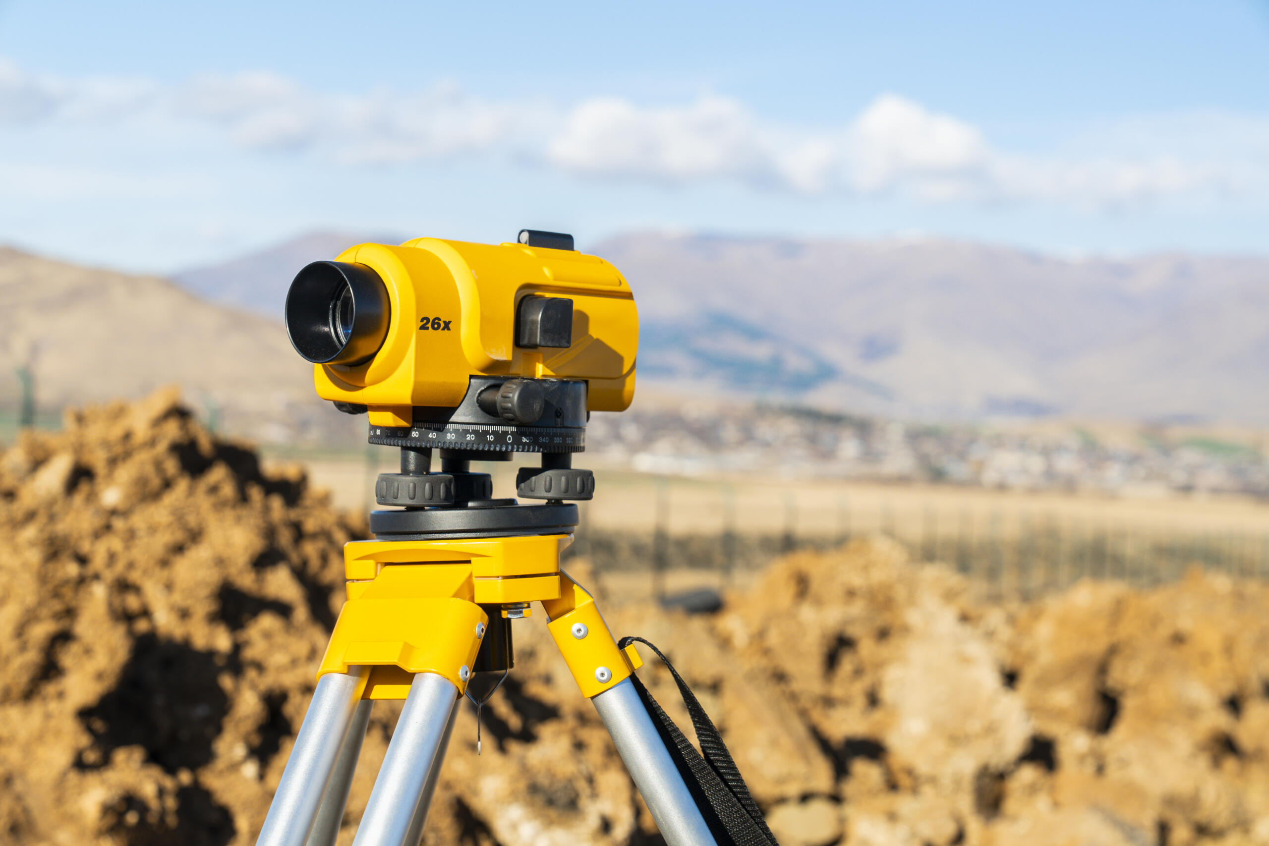
A land surveyor confirms what you are actually buying. That sounds simple, but it covers a lot of ground. We measure boundaries, identify encroachments, locate easements, and verify that the legal description on your contract matches the property on the ground.
During a purchase, our work typically includes locating corner markers, checking for fences or structures that cross property lines, and noting any access or utility easements recorded against the parcel. We then produce a survey drawing that lenders, title companies, and attorneys can rely on.
In short, a surveyor turns a paper description into a clear picture of the land. That picture is often the difference between a smooth closing and a surprise weeks down the road. If you want a broader overview of what we handle, you can explore the full range of services we offer.
When a Land Survey Is Required Versus Optional
Some surveys are required by a third party, and others are simply a smart choice. Knowing which category your purchase falls into helps you plan ahead.
A survey is generally required when a lender, title insurer, or government agency asks for one in writing. It is optional, though still wise, when you are paying cash for raw acreage, buying from a family member, or purchasing land you have known for years.
Even when it is optional, we usually recommend at least a boundary survey. Memories and old fences are not legal evidence, and a current survey gives you something defensible if questions ever arise.
Lender, Title Company, and Legal Requirements
Most mortgage lenders in Texas require a survey before funding a loan on land or improved property. Title companies also rely on surveys to issue title insurance without broad survey exceptions, which protects both you and the lender.
In certain transactions, particularly commercial deals or larger tracts, an ALTA/NSPS Land Title Survey may be required. For typical residential land purchases, a boundary or mortgage survey is usually enough to satisfy everyone involved.
The Risks of Buying Land Without a Survey
Skipping a survey can feel like an easy way to save a few hundred dollars at closing, but the risks almost always outweigh the short-term savings. Land is one of the largest purchases most people will ever make, and unlike a house, the boundaries of a parcel are rarely visible to the naked eye. Without a current survey, you are essentially trusting that the legal description on a decades-old deed still matches what exists on the ground today, which is a gamble that frequently does not pay off.
We have seen buyers discover, often weeks or months after closing, that a neighbor’s driveway crosses their lot by several feet, that a barn or storage shed sits squarely on the wrong side of the property line, or that the acreage they paid for is meaningfully smaller than what the listing advertised. In rural transactions, it is not unusual to find discrepancies of half an acre or more once a licensed surveyor walks the property and ties the corners to modern GPS coordinates. On a per-acre basis, that kind of gap can represent thousands of dollars of value the buyer never actually received.
Boundary surprises are only the beginning. Other common issues include:
-
Unrecorded easements that give utility companies, neighbors, or the public a legal right to cross your land
-
Gaps or overlaps between adjoining tracts caused by conflicting historical deeds
-
Floodplain or wetland boundaries that quietly restrict where you can build, grade, or clear
-
Encroachments from fences, outbuildings, or timber operations that may trigger adverse possession claims if left unaddressed
-
Access problems, such as a parcel that looks like it touches a public road on the map but is actually landlocked in practice
-
Setback and zoning conflicts that limit the footprint of a future home, septic system, or well
Any one of these issues can lead to legal disputes with neighbors, costly construction delays, denied building permits, or trouble reselling the property down the road. Title insurance helps with some recorded matters, but most standard policies specifically exclude problems that “an accurate survey would have disclosed,” which means the financial responsibility lands squarely on the buyer.
A survey will not eliminate every risk associated with buying rural land, but it brings the most important ones into the open before money changes hands and before you lose your negotiating leverage. That is exactly the moment when problems are easiest, fastest, and cheapest to solve, whether that means renegotiating the price, requiring the seller to clear an encroachment, or walking away from a deal that no longer makes sense.
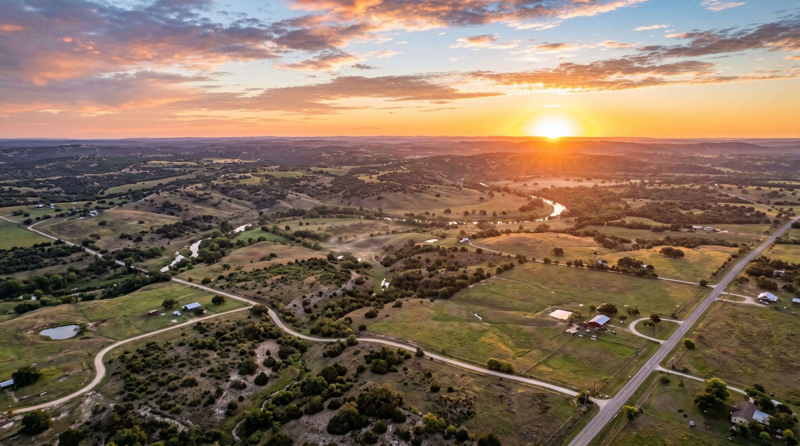
What a Survey Costs and How Long It Takes in South Texas
Costs depend on the size of the parcel, the terrain, the quality of existing records, and the type of survey ordered. A standard residential boundary or mortgage survey in the Rio Grande Valley is generally one of the more affordable line items in a real estate transaction, especially compared to the value it protects.
Larger tracts, such as farm and ranch properties outside Harlingen or Brownsville, take longer because there is more ground to cover and often older, less precise records to reconcile. Heavy brush, fencing issues, and limited access can also add time.
Ordering early in the contract period is the single best way to avoid closing delays in South Texas. If you would like a specific estimate, reach out to our team with the address and we can walk you through it.
How to Choose the Right Surveyor for Your Land Purchase
Not every surveyor is the right fit for every property. For land purchases in South Texas, we suggest looking for a few specific qualifications.
-
A Registered Professional Land Surveyor licensed in Texas
-
Local experience with Cameron, Hidalgo, and Willacy County records
-
Familiarity with the survey type your lender or title company requires
-
Clear communication on scope, timing, and pricing
-
Modern equipment, including GPS and current mapping technology
Local knowledge matters more than people expect. Older Spanish and Mexican land grants, irrigation districts, and colonia boundaries all show up in Valley records, and a surveyor who works here regularly will recognize them quickly. For more guidance on related topics, you can browse our blog for related topics before making a final decision.
Conclusion
So, do you need a land surveyor to buy land? In nearly every situation across South Texas, the answer is yes, and the reasons go well beyond satisfying a lender. A survey confirms what you are buying, protects your rights, and helps your closing move forward without surprises. When you are ready to take the next step, we are here to help you move forward with confidence.
Do I need a land surveyor to buy land in Texas?
Yes, in nearly every situation across South Texas. Most mortgage lenders require a survey before funding a loan, and title companies rely on surveys to issue title insurance. Even for cash purchases, a boundary survey protects your investment by confirming the exact land you’re buying.
What does a land surveyor do during a property purchase?
A surveyor confirms what you’re actually buying by measuring boundaries, identifying encroachments, locating easements, and verifying the legal description matches the ground. They produce a detailed survey drawing that lenders, title companies, and attorneys use to ensure a smooth closing.
What are the risks of buying land without a survey?
Without a survey, you risk discovering after closing that boundaries are wrong, neighbors’ structures cross your lot, or acreage is smaller than claimed. Common issues include unrecorded easements, overlaps between tracts, and floodplain boundaries affecting buildability. A survey identifies these problems before money changes hands.
How much does a land survey cost in South Texas?
Costs vary based on parcel size, terrain, record quality, and survey type. Residential boundary surveys are typically affordable compared to the property’s value. Larger tracts like farms and ranches cost more. Contact Southpoint Geodetics for a specific estimate with your property address.
What types of surveys might a lender require when buying land?
For residential land purchases, a boundary or mortgage survey typically satisfies lenders and title companies. Commercial deals or larger tracts often require an ALTA/NSPS Land Title Survey, which combines boundary, mortgage, and topographic elements. Note that some lenders and title underwriters may still require an ALTA on rural residential tracts, depending on loan type and acreage.
How long does it take to get a land survey in Texas?
Turnaround depends on the property’s complexity, with routine residential work moving faster than detailed rural surveys. Larger tracts, heavy brush, and older records can extend the process. Ordering early in the contract period is the best way to avoid closing delays.