If you’re buying commercial property, refinancing, or planning a development in the Rio Grande Valley, chances are someone has mentioned an ALTA survey. At Southpoint Geodetics, LLC, we know the term can feel intimidating. So let’s walk through what professional ALTA survey services actually involve, what they cost, and why they matter for your property.
What Is an ALTA Survey and When Do You Need One?
An ALTA survey is a highly detailed land survey that complies with the rigorous standards jointly established by the American Land Title Association (ALTA) and the National Society of Professional Surveyors (NSPS). Unlike a standard boundary survey, it combines multiple layers of property analysis—boundary lines, improvements, easements, encroachments, rights-of-way, and a thorough title review—into a single, unified document that meets nationally recognized specifications.
What sets an ALTA survey apart is the level of precision and the breadth of information it captures. The surveyor researches recorded documents, examines the title commitment, and physically inspects the property to identify anything that could affect ownership rights or future use. The result is a comprehensive map and report that gives lenders, title insurers, attorneys, and buyers the confidence they need to move forward with high-value transactions.
Common Situations That Require Professional ALTA Survey Services
Most people encounter ALTA survey services during commercial real estate transactions, but the need can arise in several scenarios:
-
Commercial property purchases or sales – Buyers want assurance that the property’s physical condition matches the legal description before closing
-
Title insurance issuance – Title companies typically require an ALTA survey to provide extended coverage policies that protect against survey-related risks
-
Commercial financing or refinancing – Lenders often mandate an ALTA survey before approving loans on large parcels or income-producing properties
-
Land development and construction projects – Developers rely on ALTA surveys to identify setbacks, utility easements, and zoning constraints early in the planning process
-
Mergers, acquisitions, and portfolio transfers – Companies acquiring real estate assets use ALTA surveys for due diligence
-
Resolving boundary disputes or encroachments – The detailed nature of the survey helps clarify conflicts between neighboring properties

Table A: Customizing Your Survey
One of the unique aspects of an ALTA survey is the optional “Table A” items—a checklist of additional details you can request based on the specific needs of your transaction. These can include topographic data, zoning classifications, flood zone designations, parking counts, utility locations, and more. Working with your lender, title company, and attorney to select the right Table A items ensures the final survey delivers exactly the information your deal requires.
In short, whenever a title insurer or lender is involved in a significant property transaction—or whenever the stakes call for absolute clarity about a parcel’s boundaries, encumbrances, and physical features—an ALTA survey is typically a non-negotiable part of the process.
What’s Included in a Professional ALTA Survey
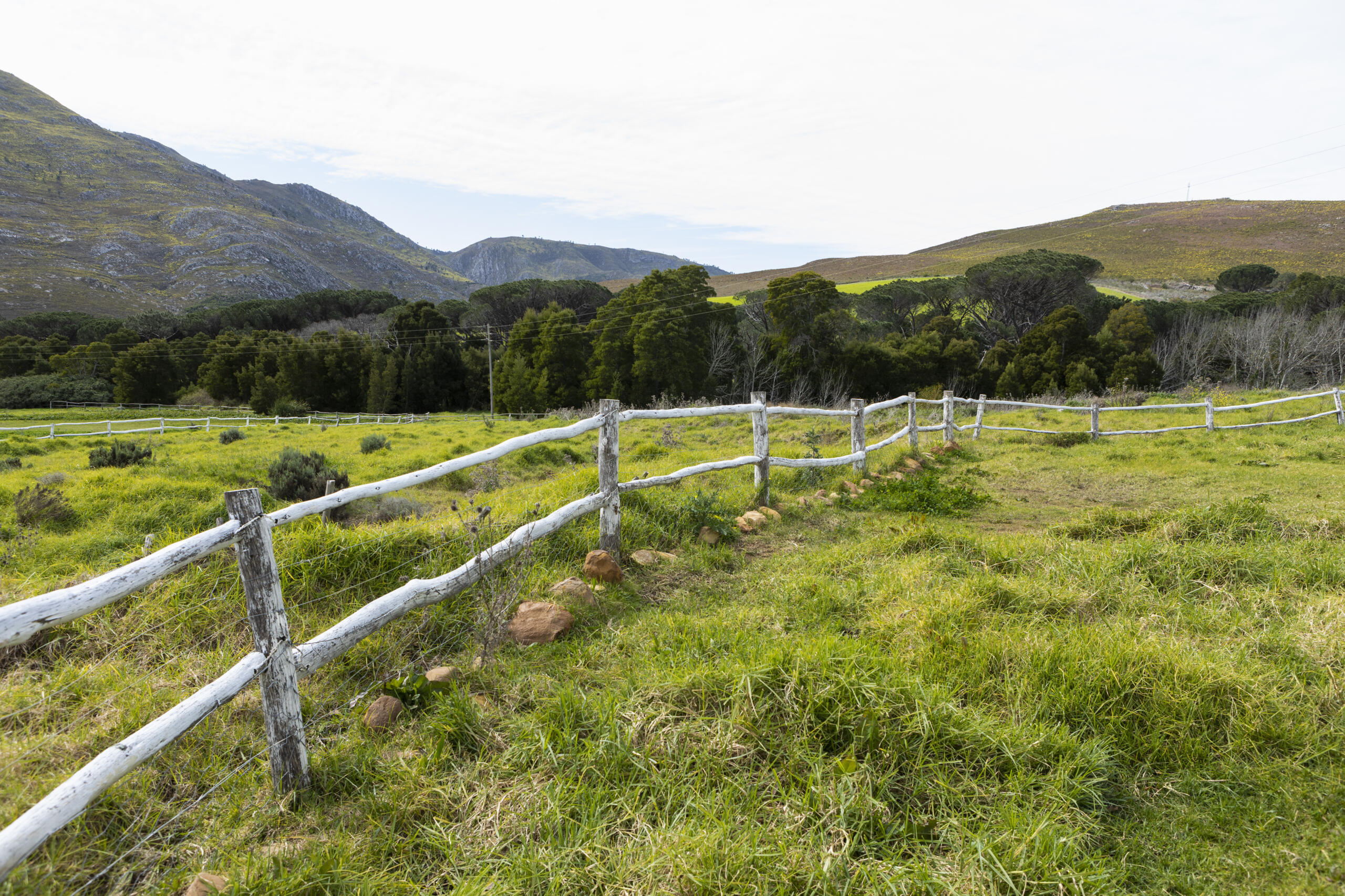
A professional ALTA survey goes well beyond marking property corners. It documents the physical features of the land, existing improvements, access points, and how the property relates to recorded title records.
This includes buildings, fences, utilities, roads, and any visible signs of use by others. The goal is a complete picture that lenders, attorneys, and title companies can rely on with confidence.
Boundaries, Easements, and Title Concerns
At the heart of every ALTA survey are three things. First, precise boundaries showing exactly where the property begins and ends. Second, easements, which are areas where others have a legal right to use part of your land, such as utility lines or shared driveways. Third, title concerns like encroachments, where a structure crosses a boundary line.
These details often surface problems before closing, when they’re far easier to resolve.

How Much Does an ALTA Survey Cost and How Long Does It Take?
Cost is one of the first questions we hear, and the honest answer is that it depends. Pricing varies based on the size of the property, its complexity, the number of improvements, and which optional items, known as Table A items, your lender or title company requires.
A straightforward urban parcel will cost less than a large rural property with multiple easements and structures—a difference you’ll want to discuss directly with our team.
Timing follows a similar pattern. Many ALTA surveys take a few weeks from order to delivery, though larger or more complex sites take longer. Title research, fieldwork, and drafting all factor into the schedule. Ordering early in your transaction is the best way to avoid delays at closing.
Why Hire a Professional ALTA Survey Provider
An ALTA survey is a technical document with legal and financial weight. A small error in a boundary line or a missed easement can stall a closing, complicate financing, or trigger a dispute down the road. That’s why this work belongs with a licensed, experienced surveyor rather than a general contractor or estimator.
Professional providers understand the strict ALTA and NSPS standards and know how to coordinate with title companies and lenders. They also carry the credentials and equipment to produce accurate, defensible results. If you want to explore the full range of services we offer, we’re happy to walk you through your options.
What to Look for in a Local South Texas Surveyor
Local knowledge matters more than people expect. A surveyor familiar with South Texas understands regional terrain, flood zones, and the documentation habits of area title companies. Look for a Registered Professional Land Surveyor licensed in Texas, clear communication, and real experience in the Rio Grande Valley. You can read more about choosing trusted land surveying services in South Texas before you commit. For more background, browse our blog for related topics on surveys and property planning.

Conclusion: Professional ALTA Survey Services
You now know what an ALTA survey covers, when it’s required, and why accuracy protects your investment. When you’re ready to move forward, reach out to our team to discuss your property and your timeline. At Southpoint Geodetics, LLC, we’re here to make the process clear and dependable.
What is an ALTA survey and why do I need one?
An ALTA survey is a detailed land survey meeting American Land Title Association and National Society of Professional Surveyors standards. It combines boundary and title review elements, with additional details available through optional Table A items. Lenders and title companies typically require ALTA surveys for commercial property transactions, refinancing, or development projects to ensure comprehensive documentation before closing.
What does a professional ALTA survey include?
A professional ALTA survey documents precise property boundaries, easements, title concerns like encroachments, buildings, fences, utilities, roads, and visible signs of use by others. It provides a complete picture that lenders, attorneys, and title companies can rely on, identifying potential problems before closing when they’re easier to resolve.
How much does an ALTA survey cost in the Rio Grande Valley?
ALTA survey costs vary based on property size, complexity, number of improvements, and required optional items. Straightforward urban parcels cost less than large rural properties with multiple easements. Contact Southpoint Geodetics at (956) 368-5074 for a customized quote based on your specific property needs.
How long does it take to complete an ALTA survey?
Most ALTA surveys take a few weeks from order to delivery, though larger or complex sites may take longer. The timeline includes title research, fieldwork, and drafting. Ordering early in your transaction helps avoid delays at closing.
Why should I hire a licensed professional surveyor for my ALTA survey?
A licensed surveyor understands strict ALTA and NSPS standards and coordinates with title companies and lenders. Professional providers carry proper credentials, advanced equipment, and expertise to produce accurate, defensible results. Small errors by inexperienced practitioners can stall closings or trigger disputes.
What makes a South Texas surveyor valuable for ALTA survey services?
Local surveyors understand regional terrain, flood zones, and documentation habits of area title companies. Look for a Texas-licensed Registered Professional Land Surveyor with Rio Grande Valley experience, clear communication, and knowledge of local property dynamics to ensure accuracy and smooth transactions.