geoEasement Surveys
Easement surveys accurately locate, define, and document access and utility rights across a property. Whether for pipelines, drainage, access roads, or utility corridors, our team determines the exact location and extent of easements based on recorded documents and field evidence.
We provide clear mapping, staking, and metes & bounds descriptions to support property transactions, development, and construction. Our deliverables are prepared to meet project and regulatory requirements, ensuring clarity for landowners, engineers, and title companies.
Why Easement Definition Is Important
An easement grants specific rights to use a portion of another party’s property for a defined purpose. Those rights are only as reliable as the documentation that defines them. Vague or unverified easement locations create uncertainty for buyers, lenders, and developers — and can lead to disputes that delay transactions or halt construction entirely.
In Texas, easements may exist through written instruments, plat dedications, or by implication under law — meaning not all easements are visible from a title search or a basic site visit alone. An easement survey resolves that uncertainty by comparing recorded instruments against existing site conditions, confirming where an easement falls on the ground, how it relates to current improvements, and whether any conflicts exist that need to be addressed before a project moves forward.
This work is commonly required during property sales, refinancing, permitting, and any development that involves easement-encumbered land.
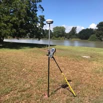
What an Easement Survey Typically Includes
While scope varies by project type and number of easements involved, most assignments include several core components:
- Review of recorded easement instruments, deeds, and plats to establish the legal basis for each easement
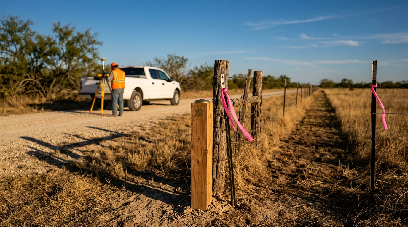
- Field location of easement boundaries based on recorded calls and physical evidence on the ground
- Mapping of easement limits in relation to property lines, improvements, and adjacent features
- Identification of encroachments or conflicts between easements and existing site conditions
- Staking of easement boundaries for construction, fencing, or development reference
- Metes & bounds descriptions for new or relocated easements
- Deliverables prepared for use by title companies, legal counsel, engineers, and regulatory agencies
Types of Easements We Document
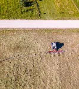
Easements take many forms depending on their purpose and origin. Access easements define the limits of private roads, driveways, and shared entry points. Utility easements establish corridors for underground and overhead lines, including water, sewer, electric, gas, and telecommunications. Drainage easements define areas reserved for stormwater flow and retention. Pipeline easements establish rights for transmission lines across private land.
Each type carries different documentation requirements and field considerations. Our team works through the recorded history and field conditions for each easement to produce deliverables that accurately reflect what exists and what is legally established.
When This Survey Is Required
Easement surveys are commonly required when a property changes ownership and existing easements must be verified before closing. Lenders and title companies frequently require easement location confirmation as part of due diligence on commercial and residential transactions.
Development projects that introduce new structures, grading, or utilities near existing easements also require field verification to confirm no encroachments will occur. New easements being granted or relocated require metes & bounds descriptions and plats prepared by a licensed surveyor before they can be recorded.
Ready to Request a Quote?
If you are navigating a property transaction, development project, or easement dispute that requires accurate field documentation, starting early gives you the information needed to resolve issues before they affect your schedule or closing. Southpoint Geodetics, LLC. works closely with landowners, engineers, title companies, and legal counsel to deliver easement surveys that are accurate, well-documented, and prepared to meet project requirements.
Request a quote today to discuss your property and what is needed to clearly define your easement boundaries.