More Rio Grande Valley homebuyers are searching for elevation survey services near me before they sign closing documents, and for good reason. The Valley sits in one of the most flood-prone regions in Texas, and the difference between a home in a high-risk flood zone and one outside it can mean thousands of dollars annually in insurance premiums.
A certified RPLS can determine your property’s precise elevation relative to the Base Flood Elevation (BFE) established by FEMA, and that number has real consequences for what you pay, what you can build, and how protected you are when the next major storm rolls through.
Here is what every Rio Grande Valley homebuyer should understand before closing.

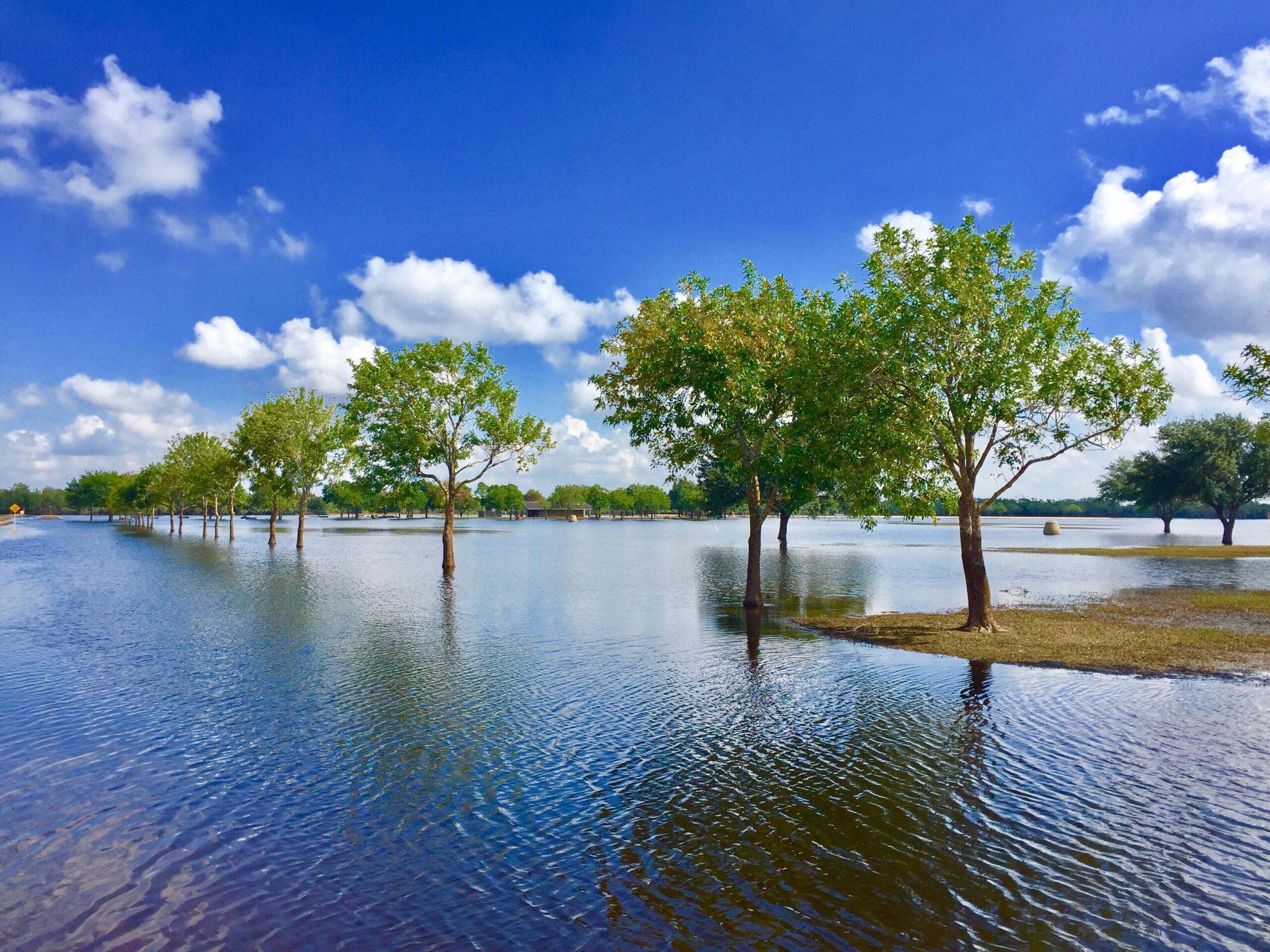
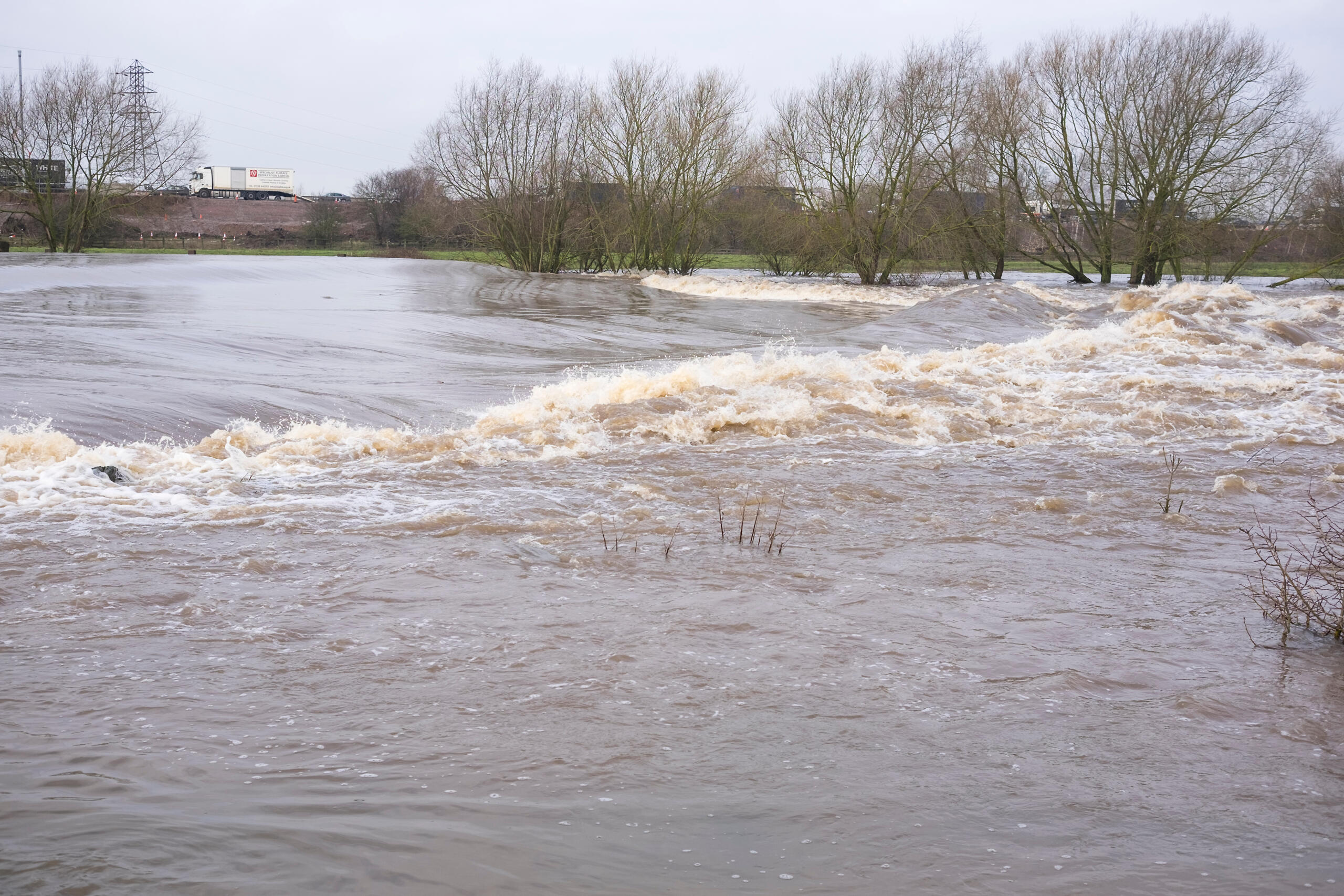
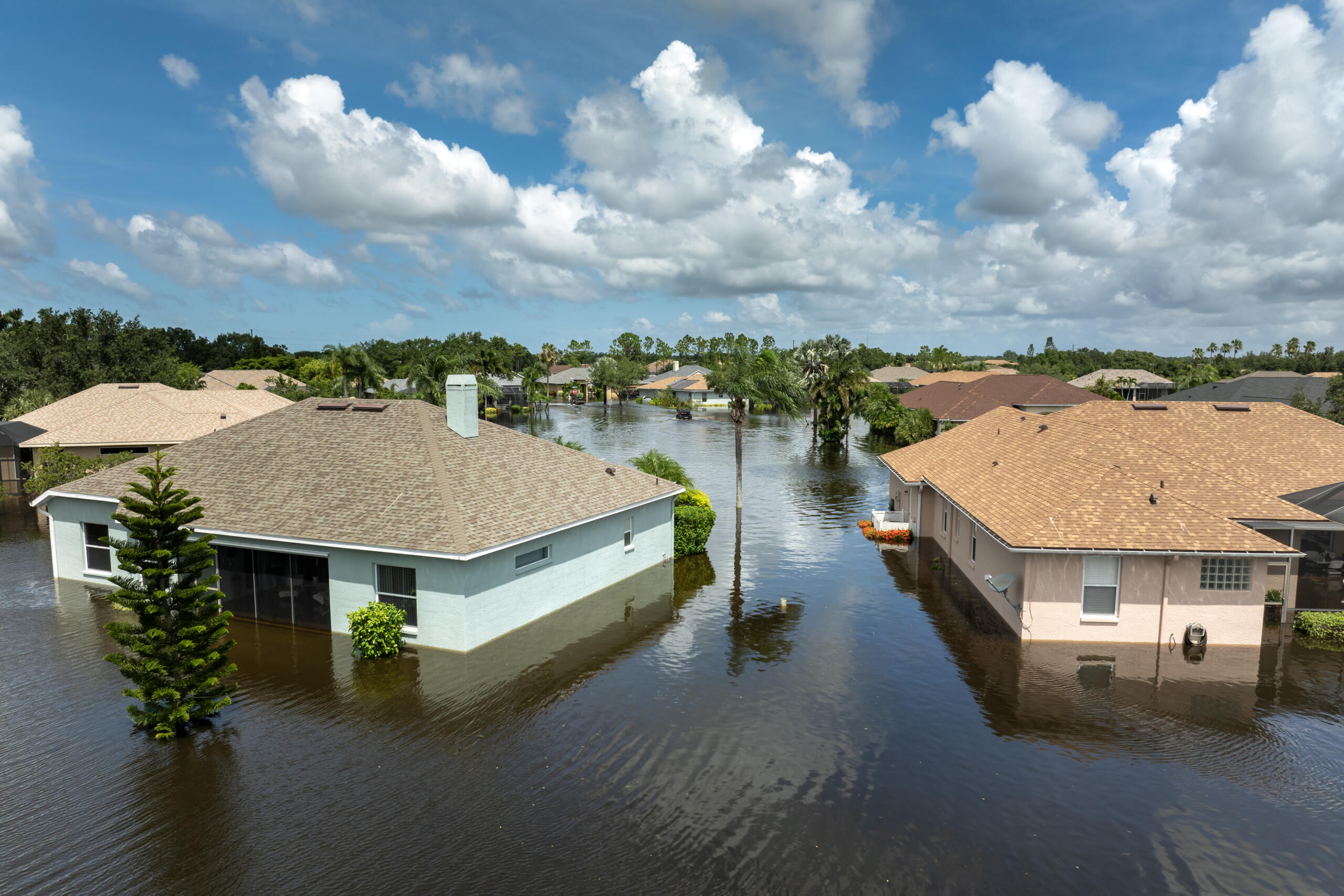
The Rio Grande Valley Flood Risk Is Not Theoretical
Flood risk in the RGV is well-documented and ongoing. The region’s flat terrain, clay soils, and proximity to the Gulf of Mexico create conditions where rainwater has limited natural drainage, and storm surge from tropical systems can push floodwaters well inland.
FEMA flood maps designate large portions of Hidalgo, Cameron, and Willacy counties as Special Flood Hazard Areas (SFHAs). Properties in these zones typically require flood insurance for federally backed mortgages.
What many buyers do not realize is that FEMA maps are not always current. Properties near the map boundaries, known as Zone X or the shaded fringe zones, may carry more risk than their official designation suggests.
What an Elevation Certificate Actually Is
An Elevation Certificate is an official FEMA document completed by a licensed surveyor that records your property’s elevation data relative to the BFE. It is the primary document used by insurance agents to rate flood insurance policies.
The certificate captures the lowest floor elevation, garage floor elevation, enclosure elevations, and the flood zone designation. It also documents any floodproofing measures on the structure.
Without an accurate Elevation Certificate, your insurance agent is essentially estimating your risk, and that estimate often defaults to the higher end.
How Elevation Affects Your Flood Insurance Premium
The relationship between elevation and flood insurance cost is direct. The higher your lowest floor sits above the BFE, the lower your flood insurance premium is likely to be.
A property just two feet above the BFE can see significantly lower annual premiums compared to a property at or below that threshold. For homebuyers financing a purchase in a designated SFHA, that difference compounds over the life of a mortgage.
If you are purchasing in the RGV, knowing your elevation before closing gives you a concrete number to work with, not an assumption.
Why FEMA Maps Alone Are Not Enough
FEMA flood maps provide a general framework, but they are updated infrequently and may not reflect recent drainage improvements, new construction, or localized elevation changes in your specific neighborhood.
Map revisions can reclassify properties into higher-risk zones, sometimes affecting properties whose owners assumed they were safe. Conversely, some properties have been successfully removed from SFHAs through a formal FEMA process called a Letter of Map Amendment (LOMA), but that process requires accurate survey data.
Relying solely on a flood map to assess your risk is a starting point, not a conclusion.
What to Expect From an Elevation Survey
An elevation survey conducted by a licensed RPLS involves field measurements of the structure’s key elevations using GPS and conventional surveying equipment. The surveyor collects data points required by FEMA’s Elevation Certificate form, verifies the flood zone designation, and documents the findings in the official certificate format.
The work requires a Texas-licensed RPLS. Not every service offering “elevation reports” carries that credential. Buyers should confirm licensure before ordering any survey used for insurance or lending purposes.
What Certified RPLS Michael Wood Wants Buyers to Know
Michael Wood, RPLS, founder of Southpoint Geodetics, has worked across the Rio Grande Valley and South Texas for years. His consistent observation is that buyers often discover flood zone problems at the closing table, where options are limited and stress is high.
Getting the survey done early, while still in the inspection and due diligence period, gives buyers time to request a LOMA if warranted, negotiate on price or concessions, or make an informed decision about whether to proceed.
Flood zone status is discoverable information. You just need the right data to act on it.

When You Should Order an Elevation Survey
Order an elevation survey as early as possible in the buying process, ideally during the option period or inspection window. This timing allows you to use the results while you still have negotiating leverage.
You should also order one if you are refinancing and your lender requires flood insurance, building new construction in a flood-prone area, or applying for a LOMA to potentially remove your property from a designated flood zone.
For more background on working with a qualified surveyor, the trusted land surveying services in South Texas guide covers the essentials clearly.
How Southpoint Geodetics Approaches Flood Zone Work in the Valley
Southpoint Geodetics provides land surveying services including Elevation Certificates for residential and commercial properties throughout the Rio Grande Valley. The work is done by credentialed surveyors, and the certificates are prepared in compliance with FEMA requirements for insurance and lending use.
You can learn more about our survey services or find additional resources in our blog covering flood zones, property surveys, and related topics specific to South Texas.
Every job is handled with the understanding that it carries real financial and legal implications for a property owner, and it is treated accordingly.
Start With the Right Data Before You Close
Searching elevation survey services near me is one of the smartest steps an RGV homebuyer can take before closing. A flood zone designation can affect your insurance costs, your financing, and your long-term investment.
Southpoint Geodetics serves the Rio Grande Valley with licensed, professional survey work. Call us at (956) 368-5074, contact us to discuss your property, or request a quote today.
What is an elevation survey and why do homebuyers need one?
An elevation survey measures a property’s key structural elevations relative to FEMA’s Base Flood Elevation. Homebuyers need one to accurately rate flood insurance, satisfy mortgage lender requirements in designated flood zones, and understand their true flood risk before closing. Without one, insurance premiums may be based on estimates that do not reflect actual conditions.
How much can flood zone status affect my insurance premium in the Rio Grande Valley?
Flood zone status can significantly shift your annual flood insurance cost. Properties one to two feet above the Base Flood Elevation often qualify for substantially lower premiums than those at or below it. In high-risk zones common across Cameron and Hidalgo counties, the annual difference can reach hundreds or thousands of dollars depending on the structure.
Who is qualified to complete an Elevation Certificate in Texas?
In Texas, an Elevation Certificate must be completed by a licensed Registered Professional Land Surveyor (RPLS). Some architects and engineers may also qualify under specific conditions, but an RPLS is the standard credential for residential certificates. Always verify the surveyor’s Texas license before ordering a certificate for insurance or lending use.
Can I get my property removed from a FEMA flood zone?
Some properties can be removed from a designated Special Flood Hazard Area through a FEMA process called a Letter of Map Amendment (LOMA) or Letter of Map Revision Based on Fill (LOMR-F). These processes require documented survey data showing the property is above the BFE. A licensed RPLS can assess whether your property may qualify and prepare the necessary documentation.
How do I find elevation survey services near me in the Rio Grande Valley?
Search for a licensed RPLS serving Hidalgo, Cameron, or Willacy counties. Confirm the surveyor holds an active Texas RPLS license and has experience completing FEMA Elevation Certificates. Southpoint Geodetics serves the RGV region from Harlingen and can be reached at (956) 368-5074 or through our contact page.