
Dividing land involves more than drawing new lines on a map. Each proposed lot must account for boundaries, access, infrastructure, easements, and applicable approval requirements before it can be sold or developed.
Subdivision land surveying services provide the measurements, research, mapping, and documentation needed to turn a larger tract into accurately defined parcels. Starting with reliable survey information can also help identify potential constraints before significant time and resources are committed to a proposed layout.
Southpoint Geodetics, LLC works with landowners, builders, and developers in Brownsville, Cameron County, and throughout South Texas. We evaluate property conditions, explain the surveying process, and prepare information that supports subdivision planning and regulatory review.
What Is A Subdivision Survey, And When Is One Required?
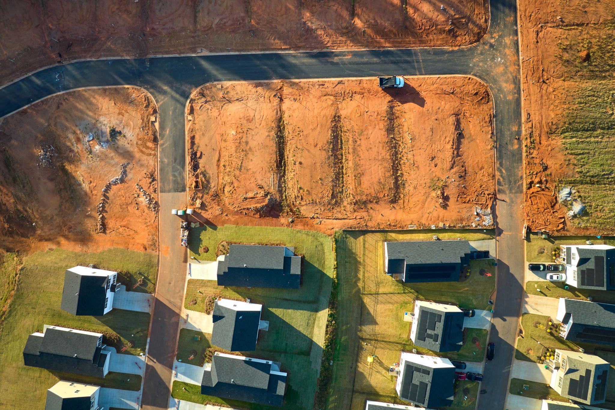
A subdivision survey documents how one tract of land will be divided into two or more legally described parcels. The surveyor researches the parent tract, evaluates boundary evidence, measures the property, and prepares information that may be used in a subdivision plat or other approval documents.
Subdivision surveying may be needed when creating lots for sale, development, inheritance, or financing, as well as when reconfiguring parcels or establishing access and utility easements.
Approval requirements depend on the property’s location and proposed development. Municipal, county, and extraterritorial jurisdiction requirements may apply, so the governing authority should be confirmed early in the process. Property owners planning work in Brownsville can also review the city’s official Zoning And Subdivisions information for local planning and platting guidance.
Confirming jurisdiction early can help owners understand which submissions, reviews, and supporting documents may be required. That information can influence the project schedule, proposed lot layout, and the other professionals who may need to be involved before a plat is submitted.
What Subdivision Land Surveying Services Include
Subdivision surveying combines record research, field measurements, mapping, and plat-related documentation to help turn a development concept into accurately defined parcels.
At Southpoint Geodetics, the scope may vary based on tract size, available records, terrain, proposed use, existing improvements, and local review requirements.
Surveying is also one part of the broader development process. Depending on the project, property owners may need assistance from engineers, planners, attorneys, title professionals, utility providers, or environmental consultants.
Property owners can explore Southpoint Geodetics’ land surveying services to learn how boundary, topographic, engineering, construction, and related surveying services may support a proposed subdivision.
Boundary Research, Fieldwork, And Existing-Condition Mapping

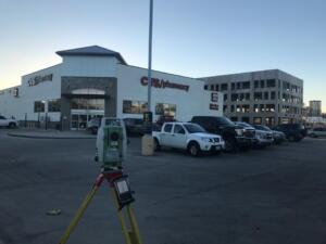
Subdivision surveying usually begins with available records, including deeds, plats, easements, adjoining property descriptions, and previous surveys. Field crews then locate available monuments and collect measurements needed to evaluate property boundaries and site conditions.
A surveyor does not simply reproduce dimensions from a deed. Conflicting descriptions, missing monuments, occupation lines, gaps, or overlaps may require additional research and professional analysis before proposed lot lines can be finalized.
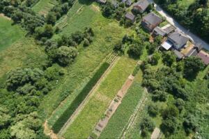
Existing-condition mapping may also identify buildings, fences, roads, drainage features, visible utilities, trees, elevations, and other site conditions that affect planning. In the Rio Grande Valley, irrigation features, drainage ditches, resacas, and established farm roads may also be relevant.
These features can influence where lots, access points, easements, or future improvements can reasonably be placed. Property owners who want a broader overview can also read Southpoint’s guide to land surveying services in South Texas and how different survey types support property decisions.
Lot Layout, Plat Preparation, And Regulatory Coordination

Once the property’s boundaries and existing conditions are understood, proposed lot lines can be evaluated based on the owner’s goals and applicable requirements.
Lot configuration may be affected by frontage, street access, setbacks, drainage, floodplain conditions, utilities, fire protection, and easement needs. Even a seemingly simple division may need to account for whether each lot has practical access and whether utility or drainage requirements affect the proposed boundaries.
Southpoint Geodetics prepares applicable survey and plat information, including bearings, distances, lot areas, monuments, easements, and other required details. The plat is then reviewed under the standards of the governing jurisdiction.
Review comments may involve surveying, engineering, planning, utilities, or administrative items. Southpoint Geodetics helps clients identify which comments require survey revisions and which must be addressed by other members of the project team.
How The Subdivision Surveying And Approval Process Works
Although every project is different, subdivision surveying generally follows a practical sequence:
- Initial Review: Discuss the property, proposed division, available records, and known constraints.
- Jurisdiction Research: Identify applicable municipal, county, ETJ, utility, and other requirements.
- Records And Field Survey: Review deeds and plats, evaluate boundary evidence, and measure existing conditions.
- Concept Development: Evaluate proposed lots, access points, easements, and other features.
- Plat Preparation: Prepare the required survey and plat information for review.
- Agency Review: Address applicable surveying or development comments.
- Approval And Recording: Obtain required approvals before the final plat is recorded.
- Monumentation And Follow-Through: Set required lot corners or other survey monuments.
A simple land division may require fewer steps, while projects involving new roads, drainage, utilities, or infrastructure may require additional professional services and multiple review cycles.
Keeping the surveyor involved as the project progresses can also help the team respond more efficiently when a reviewing agency requests clarification or revisions to survey-related information.
Cost, Timeline, And Choosing A Qualified Texas Surveyor
Subdivision surveying costs vary based on more than acreage. Boundary complexity, available records, site access, terrain, number of proposed lots, mapping requirements, monumentation, and revision cycles can all affect the scope of work.
Engineering design, application fees, recording costs, legal services, and infrastructure planning are generally separate from the surveying scope unless specifically included.
Project timelines also depend on field conditions, document availability, property complexity, and agency review. A surveyor can manage fieldwork, analysis, and plat preparation, but outside review times may vary.
Property owners can help the initial evaluation by providing available deeds, prior surveys, title information, known easement documents, and a basic description of how they want to divide or use the property. Better starting information can make it easier to define the surveying scope and identify potential issues before fieldwork begins.
Professional land surveying in Texas is regulated by the Texas Board of Professional Engineers and Land Surveyors. Property owners should confirm the registration and qualifications of the professional responsible for their surveying work.
When comparing proposals, consider asking:
- Is jurisdictional research or coordination included?
- What fieldwork and mapping are covered?
- How are review comments and revisions handled?
- Are monument setting and recording assistance included?
- Which outside professional services may still be required?
A clearly defined scope can be more useful than comparing price alone. Property owners can review additional Southpoint surveying resources when researching survey types, project considerations, and land-development topics in South Texas.
For property in Brownsville or elsewhere in South Texas, familiarity with regional drainage, access, irrigation, and development conditions can also help identify issues earlier.
Conclusion: Start With An Accurate Survey And A Clear Development Plan

Subdivision surveying provides the boundary information, site data, and plat documentation needed to support informed development decisions. Early research can clarify jurisdictional requirements, reveal property constraints, and support a more practical lot layout.
Southpoint Geodetics, LLC brings professional surveying experience and local knowledge of Brownsville, Cameron County, and South Texas conditions to subdivision projects.
If you are planning to divide property in South Texas, contact Southpoint Geodetics to discuss your tract, proposed lot configuration, available records, and the subdivision land surveying services your project may require.
What Is A Subdivision Land Survey And Why Is It Important?
A subdivision survey documents the division of a tract into two or more legally described parcels. It provides reliable boundary and site information for lot planning, regulatory review, approval, and recording. It can also help identify issues that may affect the proposed layout before the project advances further.
When Do I Need Subdivision Surveying Services?
Subdivision surveying may be required when creating lots for sale, development, inheritance, or financing. It can also apply when reconfiguring existing parcels or establishing access and utility easements.
What Services Are Typically Included In Subdivision Land Surveying?
The scope may include record research, boundary surveying, field measurements, existing-condition mapping, lot-layout support, plat preparation, monumentation, and responses to surveying-related review comments. The exact scope depends on the property and the requirements of the reviewing jurisdiction.
How Does Subdivision Land Surveying Support Better Development Planning?
Accurate surveying identifies property boundaries and relevant site conditions early. This helps property owners and design professionals evaluate access, drainage, utilities, easements, setbacks, and other constraints before finalizing a lot layout.
What Factors Affect The Cost And Timeline Of Subdivision Surveying In Texas?
Cost and timing may be affected by tract size, boundary complexity, available records, accessibility, terrain, mapping requirements, number of lots, monumentation, and regulatory review cycles. Outside engineering, legal, utility, or agency requirements may also affect the overall development schedule.
Why Should I Choose A Registered Professional Land Surveyor For Subdivision Work In Texas?
Professional land surveying requires specialized training, boundary analysis, field measurements, and compliance with applicable Texas standards. Working with an appropriately registered surveyor helps ensure professional oversight of the surveying portion of the project.