A topographic survey is the first step when buying, developing, or evaluating land. This land survey not only locates man-made and natural features of a site but, unlike most surveys, its focus is also vertical and horizontal.
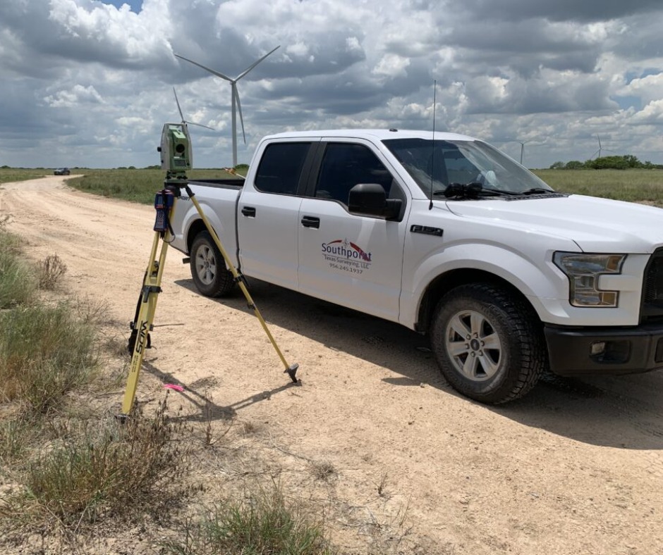
 A topographic survey involves many tools and instruments. From a theodolite, a telescope-looking instrument mounted on a tripod used to measure vertical and horizontal angles between various points on the terrain of the land, to laser scanners, GPS, maps, and other measuring instruments, a wide range of equipment is used to produce precise measurements of a site. A topographic survey may also use UAV (drone) technology to survey larger, less accessible land areas. In addition to this, a topographic survey is also carried out using the following:
The Importance of Topographic Surveys
A topographic survey aims to determine elevation changes on a parcel of land and provide architects, engineers, and building contractors with a wealth of information regarding a property. In many cases, a topographic survey is essential in planning land use as not every piece of land is suited to complex infrastructure projects.When Do You Need a Topographic Survey?
It is essential to conduct a topographic survey and collect as much information as possible before beginning a project. Through that survey, you can find the problems in a land before it is too late and quickly come up with solutions such as relocating building locations, adding proper drainage, leveling the ground, etc. While it’s always a good idea to conduct a topographic survey, there are some circumstances where it becomes necessary.What Equipment Is Used for a Topographic Survey?
A topographic survey involves many tools and instruments. From a theodolite, a telescope-looking instrument mounted on a tripod used to measure vertical and horizontal angles between various points on the terrain of the land, to laser scanners, GPS, maps, and other measuring instruments, a wide range of equipment is used to produce precise measurements of a site. A topographic survey may also use UAV (drone) technology to survey larger, less accessible land areas. In addition to this, a topographic survey is also carried out using the following:
- Total station
- Lidar system
- Digital leveling instrument
- DGPS with Real-Time Kinematic (RTK)
- Drone Photogrammetry
- A topographic survey helps you make informed decisions: It provides you with all the necessary information about the land before making changes to an existing property or developing an entirely new building or structure. By conducting a topographic survey, you can get all the information about every critical feature over, below, and in the general vicinity of a surveyed land.
- You get to know about past changes: A topographic survey reveals if there were any significant changes made to land in the past. This information becomes crucial if you purchase land with the intent of using it for a building project. The survey lets engineers plan out any new structure on the land in a way appropriate for land use.
- It helps you understand the topography of land: It goes without saying that this land survey helps you understand the topography of the land. Knowing a land’s topography, both around and underneath any existing structures or that you are about to build, helps you ensure that all of your constructions and modifications are efficient and durable.
- Greater accuracy and insight into a land: A topographic survey is critical to homeowners, landowners, business owners, and builders in case there are renovation or property expansion plans. It provides the owner and builder with as much accurate information about the land as possible.
- Mapping out any existing features on land: A topographic survey is crucial for mapping out any existing features on the land and features over or below it. A topographical map will include land features such as trees, manholes, retaining walls, utility poles, and other nearby structures. It also points out perimeter boundary lines and easements on or next to land.
- Minimizes errors: Conducting a topographic survey leads to greater certainty in any planned development by reducing the risk of terrain-related costly errors.
How Long Does a Topographic Survey Take?
The duration of a topographic survey depends on the project’s area and the terrain’s complexity. Generally, after the land has been surveyed, it takes a few days for the findings to be drawn up and sent over. Furthermore, depending on the level of detail required for a project, data is presented in either a simple 2D plan or a 3D AutoCAD drawing.How to Find the Right Topographical Specialist?
Due to the financial risks involved in site planning, getting a specialist on board who can keep you protected and deliver an accurate result is essential. While you may already have a specific standard when choosing the right one to survey your land, here are some tips that you might want to follow:- Check the credentials: It is essential to find the right land surveyor. Get in touch with a qualified land surveyor and check their credentials.
- Take note of experience: Besides credentials, it is highly recommended that your land surveyor is someone who has spent enough time on the field and can handle the complexity of a project and overcome challenges. Remember, experience does make a difference.
- Work ethics: Work ethics play a significant role in establishing a professional relationship between you and your land surveyor.
- Ask about accessibility: Communication is a crucial aspect of any construction project. This is required for the smooth functioning of a project. Ensure your surveyor is accessible whenever you are in doubt or need to ask questions.
- Know your prospective surveyor’s reputation: From the quality of work to professional relations and timely completion of projects, try to know your surveyor’s reputation by conducting a background check.
- Determine the cost of the survey: Although this comes later, this is one of the most important aspects of a construction project.