

Residential land survey pricing can vary because every property has different records, boundaries, improvements, and access conditions. A survey is professional work tailored to a specific property, not a standard product with one statewide price.
The scope of a residential land survey depends on the property’s size, boundary complexity, available records, site conditions, improvements, and intended use. Larger parcels, disputed boundaries, missing records, heavy vegetation, or difficult access may require additional research and fieldwork.
At Southpoint Geodetics, LLC, we review the property and the reason for the survey before preparing a quote. This gives buyers, sellers, builders, and landowners a clearer idea of the expected scope, cost, and schedule. Not sure which survey your property requires? Explore our land surveying services before requesting an estimate.
How Much Does a Residential Land Survey Cost?
Residential land survey pricing reflects the research, fieldwork, boundary analysis, and documentation required. Smaller lots with clear records and accessible markers often cost less, while irregular parcels or properties with missing evidence may require more work.
A quote may include deed and plat research, travel, field measurements, calculations, professional review, and preparation of the final survey. Compare the written scope, since two quotes may cover different services or deliverables.
Location also affects pricing. Established Brownsville or Harlingen neighborhoods may be easier to access than rural acreage with brush, locked gates, livestock, or unpaved roads. Buildings, fences, driveways, and neighboring improvements near the boundary can add complexity.
The person ordering the survey usually pays, although buyers and sellers may negotiate the expense during a real estate transaction.
What Affects Residential Land Survey Pricing?
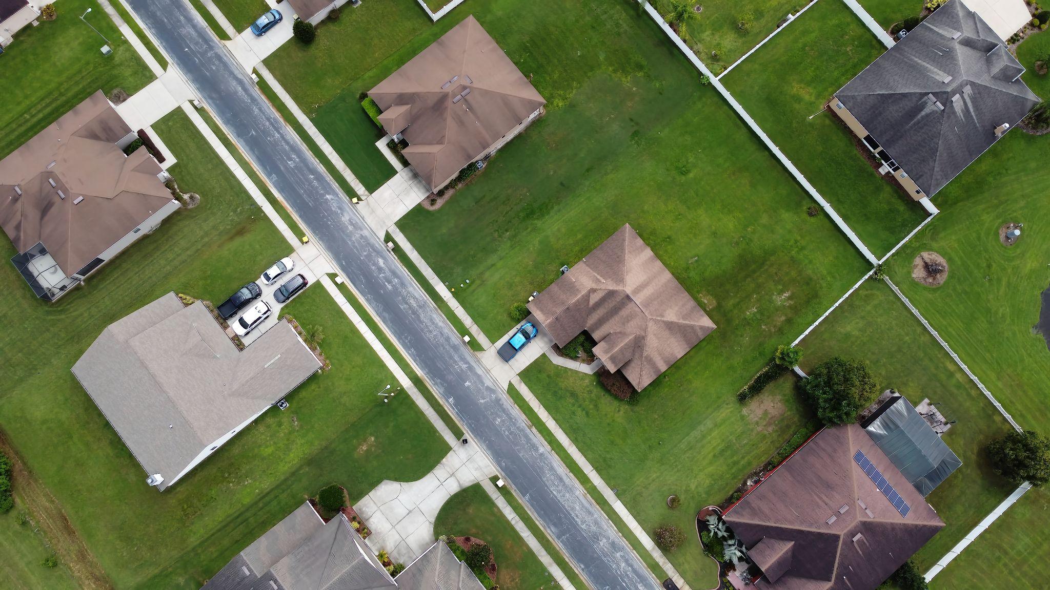
Acreage matters, but it is only part of the calculation. A five-acre property with clear records and visible monuments may require less work than a small city lot with conflicting deed descriptions, missing markers, and improvements near the boundary.
Before preparing an estimate, a surveyor may review the legal description, recorded plat, current deed, prior survey documents, property access, visible improvements, intended use, and requested deadline. Requirements from a title company, lender, architect, engineer, or municipality can also change the scope.
In Texas, professional surveying is regulated by the Texas Board of Professional Engineers and Land Surveyors. Boundary surveying must be completed under the authority of a properly registered professional.
County appraisal maps, online parcel viewers, fences, and approximate mapping applications can provide background information. They do not independently establish a legal property boundary.
Property Size, Shape, and Site Conditions
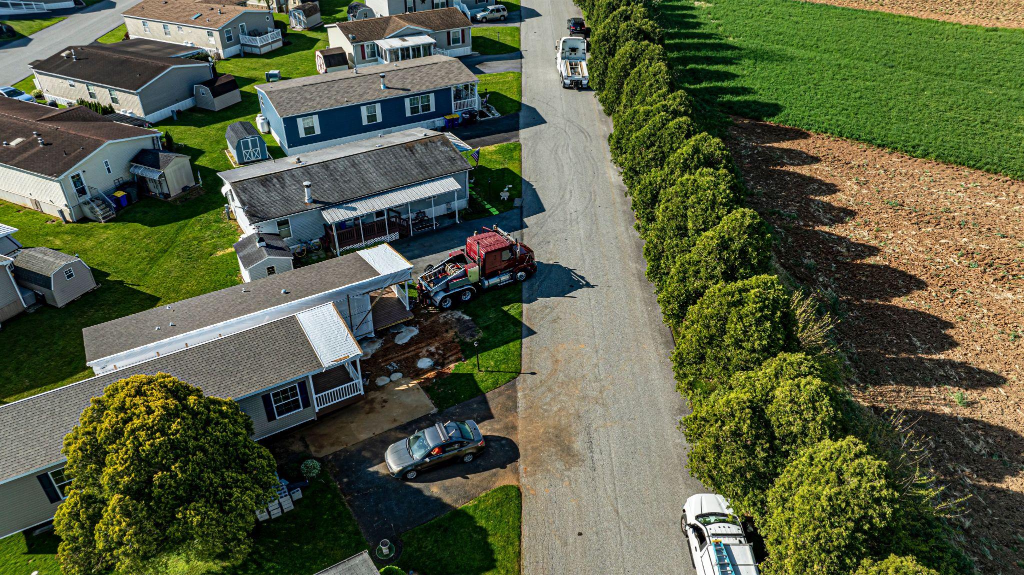
Larger properties generally require more fieldwork, particularly when a boundary contains many corners. Shape matters too. A rectangular subdivision lot is usually less complicated than a narrow parcel with curves, offsets, easements, or an unclear legal description.
Site conditions can change the amount of time a crew needs. Thick South Texas brush may reduce visibility between instruments and make physical evidence harder to locate. Standing water, drainage features, uneven ground, animals, and restricted access may also affect the fieldwork.
Owners should provide gate codes, access instructions, information about animals, and any known hazards before the scheduled visit. Complete information can reduce delays and the need for a return trip.
Owners of residential lots, rural tracts, and larger parcels can learn about acreage and lot boundary surveys before discussing the project scope.
Records, Markers, and Property Improvements
Surveyors review deeds, plats, easements, prior surveys, and other records. Conflicting or incomplete documents may require additional research.
Existing markers can help establish boundaries, but surveyors must compare them with records and other evidence. Missing or conflicting markers may increase the work required.
The survey’s purpose determines which improvements appear on the final document, such as buildings, fences, pools, driveways, or walls. These features may reveal encroachments or setback concerns.
A survey reports professional findings but does not resolve ownership disputes or provide legal advice. Consult a Texas real estate attorney for title or ownership disagreements.
How Deadlines Can Affect the Quote
A survey requires time for research, field measurements, calculations, review, and preparation of the final document. Tight deadlines may require scheduling changes or added resources, assuming the surveyor can accommodate the request.
Provide the closing, permitting, design, or construction date when requesting a quote. Weather, access problems, record availability, and unexpected boundary evidence can affect the schedule, so ordering early is usually the safer choice.
A written proposal should state the scope, fee, expected delivery time, and final deliverables. Ask questions before authorizing the work if any part of the proposal is unclear.
If your project has a closing or construction deadline, review typical land survey timelines and contact the surveyor as early as possible.
Common Types of Residential Land Surveys

The correct survey depends on the property and the question that needs to be answered.
- A boundary survey establishes or retraces property lines using records, monuments, measurements, and other boundary evidence. It may be requested before a purchase, fence installation, addition, or other work near a property line.
- A topographic survey records elevations and visible site features. Architects and engineers may use it when planning grading, drainage improvements, additions, or new construction.
- An as-built survey documents the location of completed or recently installed improvements. It may be used to compare completed work with approved plans or design requirements.
- An ALTA/NSPS Land Title Survey follows national standards used by title insurers, lenders, clients, and surveyors. It is more common in commercial and complex title transactions than in routine residential work.
How to Request a More Accurate Survey Quote
Incomplete information can lead to an estimate that does not match the work eventually required. When contacting a surveyor, provide as much of the following information as possible:
- Property address, county, parcel number, and legal description
- Current deed and any available prior survey or recorded plat
- Reason for ordering the survey
- Closing, permitting, design, or construction deadline
- Known easements, boundary questions, or neighbor disputes
- Gate codes, animals, occupied buildings, or access restrictions
- Improvements that must appear on the survey
- Requirements supplied by the lender, title company, municipality, architect, or engineer
An old survey may still be useful as a reference, but property changes, new certification requirements, or incomplete documentation can make updated work necessary. The surveyor and the parties relying on the document should determine whether an existing survey is acceptable.
Incomplete information can lead to an estimate that does not match the work eventually required. When contacting a surveyor, provide as much of the following information as possible:
- Property address, county, parcel number, and legal description
- Current deed and any available prior survey or recorded plat
- Reason for ordering the survey
- Closing, permitting, design, or construction deadline
- Known easements, boundary questions, or neighbor disputes
- Gate codes, animals, occupied buildings, or access restrictions
- Improvements that must appear on the survey
- Requirements supplied by the lender, title company, municipality, architect, or engineer
An old survey may still be useful as a reference, but property changes, new certification requirements, or incomplete documentation can make updated work necessary. The surveyor and the parties relying on the document should determine whether an existing survey is acceptable.
How to Request a More Accurate Survey Quote
Incomplete information can lead to an estimate that does not match the work eventually required. When contacting a surveyor, provide as much of the following information as possible:
- Property address, county, parcel number, and legal description
- Current deed and any available prior survey or recorded plat
- Reason for ordering the survey
- Closing, permitting, design, or construction deadline
- Known easements, boundary questions, or neighbor disputes
- Gate codes, animals, occupied buildings, or access restrictions
- Improvements that must appear on the survey
- Requirements supplied by the lender, title company, municipality, architect, or engineer
An old survey may still be useful as a reference, but property changes, new certification requirements, or incomplete documentation can make updated work necessary. The surveyor and the parties relying on the document should determine whether an existing survey is acceptable.
Conclusion

Residential land survey pricing depends on the property, available records, access, visible improvements, deadline, and intended use. Acreage alone does not determine the final cost.
Providing the deed, legal description, prior survey documents, access details, and project requirements allows the surveyor to prepare a more dependable estimate. It can also reduce avoidable delays during a real estate transaction or construction project.
Southpoint Geodetics, LLC serves property owners in Harlingen, Brownsville, and communities throughout the Rio Grande Valley. Request a residential survey quote to discuss your property, required survey information, current pricing, and expected timeline.
How Much Does a Residential Land Survey Cost in Texas?
Costs vary according to the property and project scope. Straightforward residential lots are generally less expensive than acreage or properties with unclear records, difficult access, or complicated boundaries. A written quote is needed to determine the actual price.
What Affects Residential Land Survey Pricing?
The main factors include property size and shape, boundary complexity, available records, site access, terrain, vegetation, existing monuments, visible improvements, required deliverables, and deadline.
How Can I Request an Accurate Quote?
Provide the property address, legal description, parcel number, current deed, prior surveys, deadline, access details, and reason for ordering the survey. Include any requirements supplied by a lender, title company, municipality, architect, or engineer.
Which Type of Residential Survey Do I Need?
A boundary survey addresses property lines. A topographic survey records terrain and site features. An as-built survey documents completed improvements. An ALTA/NSPS Land Title Survey follows national standards for detailed title-related work. Ask the requesting party and surveyor which service matches the project.
Who Pays for the Survey During a Property Sale?
The party ordering the survey commonly pays for it, but the buyer and seller may assign the expense differently in their real estate contract.