
A survey may appear to be one line on a closing checklist, but completing one involves far more than visiting a property and taking measurements. So, how long do land surveying services take? A straightforward residential lot may take several business days, while acreage, commercial, or construction projects may require several weeks. Records, access, field conditions, project scope, and professional review all affect the schedule.
The Typical Turnaround Time for a Land Survey
A relatively uncomplicated residential survey typically requires an estimated five to ten business days following authorization and receipt of all required documents, though actual timing depends on record availability and site conditions. More involved assignments may take two to four weeks, while complex acreage or commercial projects can take longer.
These are planning estimates, not guarantees. Current workload, courthouse research, missing records, site access, weather, and field discoveries may affect delivery. Under Texas professional land surveying regulations, there is no fixed statutory completion timeframe; delivery schedules are determined on a project-by-project basis by professional standards and contractual agreements.
A Texas Registered Professional Land Surveyor must complete the necessary research, measurements, analysis, and review before delivering a professional result. Accuracy should not be sacrificed to meet an unrealistic deadline.
At Southpoint Geodetics, LLC, we encourage clients to discuss the survey’s purpose and any closing or construction deadlines at the start. Learn more about our survey services.
Residential Boundary, Closing, and Lot Surveys
A platted residential lot is often among the faster assignments, especially when subdivision records and corner monuments are available. Fieldwork may take only a few hours, but research, calculations, drafting, and final review add to the schedule. Delays may occur when legal descriptions are unclear, monuments are missing, or fences and improvements appear close to a boundary.
A fence is not automatically proof of a property line. The surveyor must compare field evidence with deeds, plats, adjoining descriptions, and other records. Buyers, sellers, agents, and title professionals should request a survey as soon as possible.
Waiting until just before closing leaves little time to investigate discrepancies, obtain access, or address encroachments and easements. Explore options for residential land surveying early in the property transaction process.

Large-Acreage, Construction, and Commercial Surveys
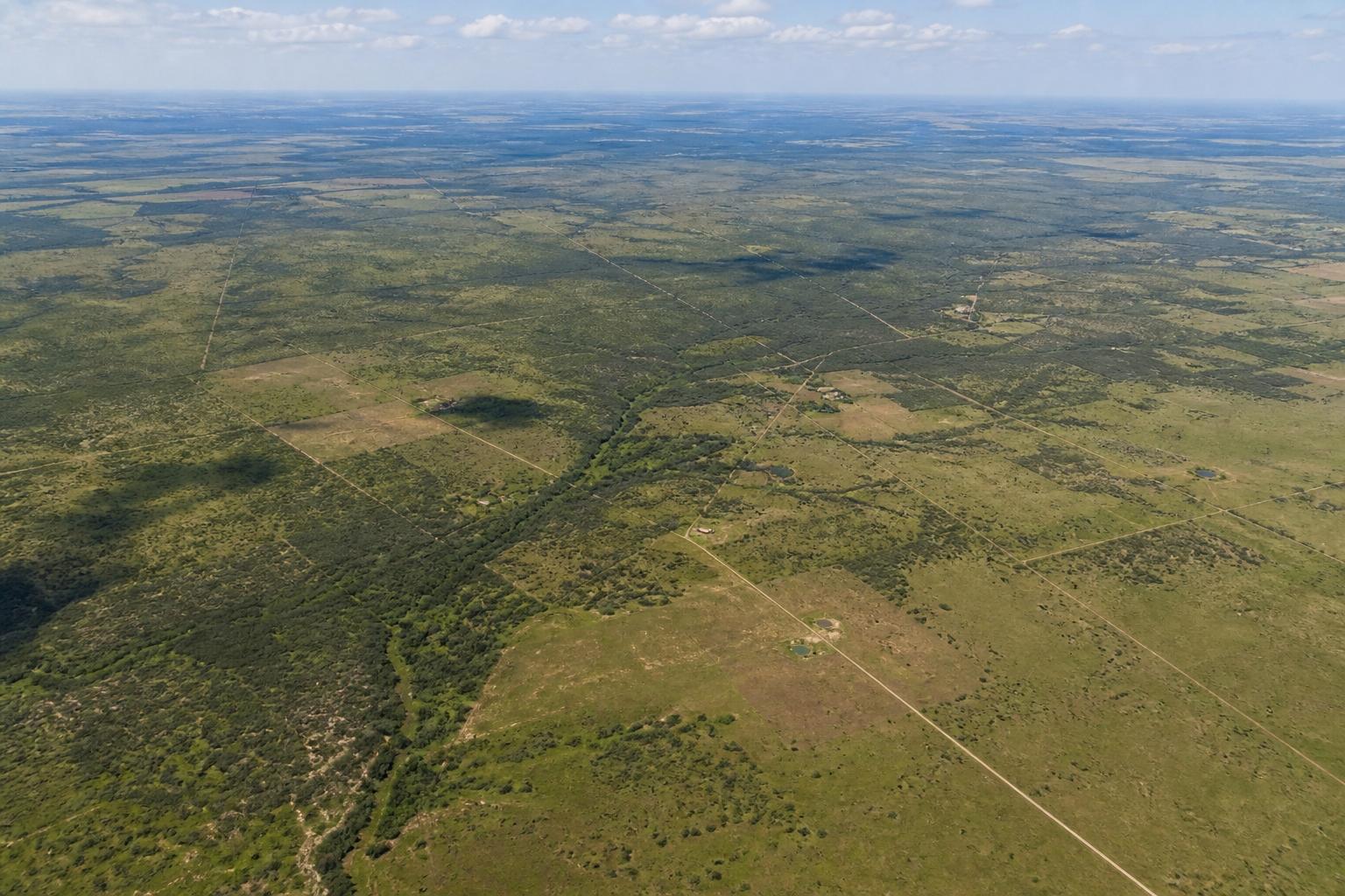
Commercial, large-acreage, and ALTA/NSPS surveys generally require an estimated 2 to 6 weeks or longer, as completion depends heavily on site scope, field conditions, and the timely receipt of third-party title commitments and exception documents. The actual timeline depends on scope and site complexity. Large tracts may involve lengthy boundaries, missing monuments, dense vegetation, drainage features, locked gates, livestock, irrigation systems, canals, or difficult terrain.
Commercial and development projects may also require title commitments, exception documents, utility information, engineering requirements, plans, or selected ALTA items. Read more about specialized commercial land surveying capabilities. Construction surveys are often completed in phases to match site readiness and the contractor’s schedule.
The most reliable estimate comes after the surveyor reviews the property, records, deliverables, and intended use—not from acreage alone.
What Determines How Long a Survey Takes?
Surveying includes scheduling, records research, fieldwork, analysis, drafting, and final review. A delay or unexpected finding in one stage can affect the entire project. Clients can help by providing the current deed, title commitment, prior survey, subdivision plat, site plan, access instructions, and the names of intended recipients.
They should also explain whether the survey supports a sale, boundary question, design, permitting, or construction project.
Property Size, Terrain, Access, and Weather Conditions
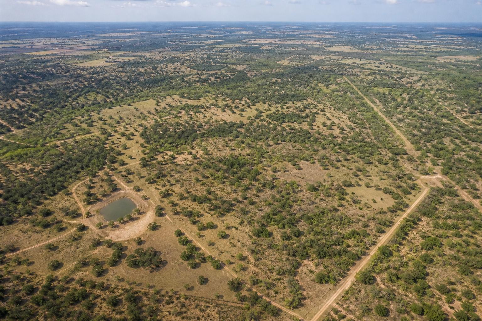
Acreage alone does not determine the workload. A large, open tract with accessible monuments may be easier to survey than a smaller property covered by vegetation, buildings, fences, or conflicting occupation lines. Locked gates, animals, tenants, restricted commercial areas, and limited permission to enter adjoining land can delay fieldwork.
Thick brush, standing water, steep banks, traffic, and active construction may require additional time or another visit. In South Texas and the Lower Rio Grande Valley, extreme weather such as thunderstorms, flooding, high winds, and saturated ground may pause operations to adhere to field crew safety protocols. Specialized electronic equipment cannot bypass site safety hazards.
Before the crew arrives, owners should provide access, secure animals, share contact information, and identify known hazards. They should not move stakes, guess at corners, or clear suspected boundary lines because existing evidence may be important to the surveyor’s analysis.
Records Research, Fieldwork, Scheduling, and Final Review
Records research may include deeds, subdivision plats, easements, adjoining descriptions, prior surveys, and county records. Older properties may contain descriptions or monuments that require careful interpretation. Fieldwork can reveal missing corners, conflicting monuments, encroachments, or measurements that do not match adjoining descriptions.
These findings may require additional research, calculations, or a return visit. After fieldwork, the surveyor processes the data, evaluates the evidence, prepares the required map or drawing, and completes a professional review. Complex developments or property transfers requiring ALTA/NSPS Land Title Surveys may also demand coordination with the title commitment, current standards, and requested optional items.
To receive a useful estimate, provide:
- Property address, legal description, or parcel identification
- Approximate acreage and current use
- Requested survey type and intended purpose
- Available deeds, plats, title documents, and prior surveys
- Access restrictions or site hazards
- Closing, design, permit, or construction deadlines
A deadline helps with planning, but it cannot replace complete research and review. Early communication gives the surveyor the best opportunity to identify issues and create a realistic schedule. If you have immediate project timelines or unique property requirements, contact our team directly to review your details.

Conclusion
How long do land surveying services take? Many uncomplicated residential assignments take several business days, while acreage, commercial, and construction projects may take weeks. Complete records, clear access, and a defined scope support more accurate scheduling. Southpoint Geodetics, LLC helps South Texas clients plan property and construction projects with greater clarity. Learn more about Southpoint Geodetics and our commitment to precise surveying standards.
Frequently Asked Questions about Land Surveying Duration
How long do land surveying services typically take for a residential lot?
A straightforward residential survey typically requires an estimated five to ten business days after authorization and receipt of all required documents, though actual timing depends on record availability and site conditions.
What factors influence the time needed to complete land surveying services?
Duration depends on property size, terrain, access, weather, records research, field conditions, survey type, and project complexity.
How long do commercial or large-acreage land surveys generally require?
Commercial, large-acreage, and ALTA/NSPS surveys generally require an estimated 2 to 6 weeks or longer, as completion depends heavily on site scope, field conditions, and the timely receipt of third-party title commitments and exception documents.
Can weather or site access affect the land surveying schedule?
Yes. Thunderstorms, flooding, difficult terrain, locked gates, restricted access, and other hazards can delay fieldwork.
Why is early communication important when scheduling land surveying services?
Providing property details, documents, access information, and key deadlines early helps create a realistic schedule and reduce avoidable delays.
What types of surveys does Southpoint offer for construction preparation?
Southpoint offers topographic, ALTA/NSPS Land Title, boundary, as-built, and engineering surveys to support accurate construction planning.