
A delayed property closing due to missing or outdated boundary documentation can stall a major transaction and cost you money. Buying, selling, or building on land in Raymondville brings plenty of questions, and resolving boundary uncertainties quickly keeps your plans moving forward. Land survey services in Raymondville, TX provide the clarity needed to keep real estate transactions on track. Southpoint Geodetics, LLC helps property owners across South Texas turn uncertainty into clear, dependable answers. This guide walks you through why surveys matter, the types available, what the process looks like, and how to choose the right team.

Why Accurate Land Surveys are Important in Raymondville, TX
An accurate land survey protects your financial and property investments by establishing a verified boundary record before minor assumptions turn into expensive disputes. In and around Raymondville, seated in the heart of Willacy County, land use ranges from residential lots to farm and ranch acreage, and boundary lines are not always as clear as an old fence or a neighbor’s memory suggests.
Without a proper survey, small assumptions can turn into expensive problems. A shed built a few feet over a line, an unclear easement, or a disputed corner can delay a sale or complicate a construction project.
A survey gives you facts instead of guesses. It establishes boundary lines, identifies potential encroachments, and creates a professional record to support you when questions arise. For anyone making a major property decision, that clarity is worth having before problems start. If you are weighing options, working with trusted land survey service providers in South Texas helps you move forward with confidence.
Common Types of Surveys for Raymondville Property Owners
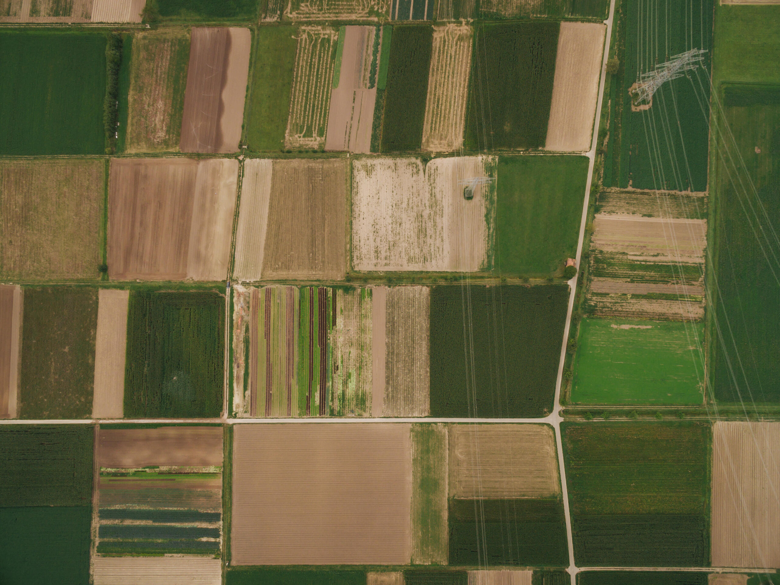
Property owners can choose between boundary, residential, topographic, or specialized commercial surveys depending on whether they are settling a dispute, buying a home, or developing commercial acreage. Knowing which one fits your needs helps you avoid paying for more than necessary or discovering too late that you ordered the wrong service. Below are the survey types Raymondville property owners request most often.
Boundary and Residential Surveys
A boundary survey establishes the exact limits of your parcel using its legal description. Our team locates or restores the monuments and markers that define your corners and lines, then documents all relevant measurements.
This is the ideal survey for confirming where your land actually ends, settling questions with neighbors, or planning improvements like fences, additions, or driveways. It answers one of the most common questions homeowners have: is this really mine?
Surveys for Buying, Selling, and Building
When a transaction is involved, surveys often become part of the process. Buyers and sellers use them to confirm what is changing hands, while lenders and title companies may require documentation before closing.
Builders and developers rely on additional survey types. Topographic surveys map the terrain and existing features to guide construction planning, and ALTA/NSPS Land Title Surveys provide a detailed record of improvements for commercial deals. If you are planning a larger project, our commercial land survey services in South Texas are built for that level of detail.
What to Expect During the Survey Process
The survey process consists of three distinct phases: comprehensive historical deed research, active on-site physical field measurements, and the preparation of your final legal map or plat. Knowing the steps ahead of time makes it far less stressful. Here is how it typically unfolds when you work with our team.
First, we review your property’s legal description, deed records, and any prior surveys. This research tells us what should exist on the ground before we ever set foot on the site.
Next, our surveyors visit the property to take field measurements. We use advanced GPS technology alongside conventional surveying techniques to locate corners, features, and existing markers in accordance with professional accuracy standards.
Finally, we prepare your deliverables. Depending on the survey type, this may include a drawing or plat, updated monuments at your corners, and documentation you can hand to a lender, title company, or engineer. Throughout, we keep the goal simple: accurate results you can act on. You can find additional resources in our blog if you want to understand each survey type in more depth.
How Much a Land Survey Costs and How Long It Takes

Survey costs and delivery timelines vary based on the parcel’s size, terrain complexity, and historical record availability, meaning every property requires a custom estimate rather than a flat fee. That said, understanding what drives the numbers helps you plan realistically.
Cost is influenced by:
-
The size and shape of the parcel
-
The type of survey required
-
Terrain, vegetation, and access to corners
-
The condition and availability of existing records and monuments
A straightforward residential boundary survey generally costs less and moves faster than a large acreage or commercial project. Rural tracts with heavy brush or missing markers take more field time, which affects both price and schedule.
Timing can range from a few days to several weeks. Weather, county record availability, and current workload all play a role. We understand that delays create stress, especially near a closing date, so we work to deliver your survey promptly. For a specific estimate, the best step is to reach out to our team with your property details.
Choosing the Right Local Surveying Team in the Rio Grande Valley for Land Survey Services in Raymondville, TX
Select a surveying company that pairs active Texas RPLS licensure and advanced technical equipment with deep, localized experience in the specific county records of South Texas. The right surveying team combines proper licensing, local knowledge, and clear communication. In Texas, land surveys must be performed under a Registered Professional Land Surveyor, so confirming credentials is an essential first step.
Local experience matters too. Southpoint Geodetics, LLC was founded by Michael Wood, a Registered Professional Land Surveyor, and we serve Raymondville, the greater Rio Grande Valley, and all of South Texas from our base in Harlingen. We know the land, the records, and the development realities of this region.
We also value responsiveness and accuracy in equal measure. Whether you own a single lot or thousands of acres, our goal is dependable documentation delivered with straightforward service. Property owners facing similar questions elsewhere, such as those seeking land survey services in Brownsville or survey answers in Corpus Christi, can expect the same standard from us.
By now you should have a clear picture of how professional land survey services in Raymondville, TX support confident property decisions. You understand why accuracy protects your rights, which survey fits your situation, what the process involves, and what affects cost and timing. When you are ready to take the next step, you can explore the full range of services we offer or contact us to discuss your property with a team that knows South Texas.
Why do I need a professional land survey in Raymondville, TX?
You need a professional land survey to protect your legal and property rights, prevent boundary line disputes with neighbors, and satisfy mandatory lender or title insurance requirements before closing. This clarity prevents expensive problems like disputed corners, unclear easements, or shed placements that cross property lines—especially important before buying, selling, or building.
What types of surveys does Southpoint Geodetics offer for Raymondville property owners?
Southpoint Geodetics provides a full suite of services, including residential boundary surveys, topographic construction planning, commercial ALTA/NSPS land title surveys, and specialized farm, ranch, or easement mapping. We select the right survey type based on your specific property needs and transaction requirements.
How long does a land survey take in Raymondville?
A land survey typically takes anywhere from a few business days for clear residential lots to several weeks for large, brush-heavy rural acreage. Turnaround timing depends on property size, terrain, record availability, and weather. Straightforward residential boundary surveys typically move faster than large acreage or rural projects with heavy brush or missing markers. Contact us for a specific timeline estimate.
What is included in a boundary survey?
A standard boundary survey delivers physical corner markers on your land alongside a detailed professional plat map illustrating structural improvements, easements, and exact dimension lines. Our team locates or restores corner monuments and markers, documents all measurements, and provides a plat or drawing you can share with lenders or title companies—ideal for confirming ownership boundaries or planning improvements like fences or additions.
How much does a land survey cost in Raymondville?
Land survey costs vary significantly based on your specific lot size, vegetation density, and the required survey type, meaning pricing is calculated on a per-project basis. Residential boundary surveys generally cost less than large acreage or commercial projects. For a specific estimate, reach out with your property details—there’s no flat fee that fits every situation.
Is Southpoint Geodetics licensed and experienced in Raymondville?
Yes, Southpoint Geodetics is fully licensed by the state of Texas and brings extensive local experience mapping residential, commercial, and agricultural properties throughout Willacy County. Southpoint Geodetics, LLC was founded by Michael Wood, a Registered Professional Land Surveyor in Texas. We serve Raymondville and the Rio Grande Valley from our Harlingen base, using advanced GPS and conventional techniques. We’re locally owned and committed to accurate, responsive service for any project size.