
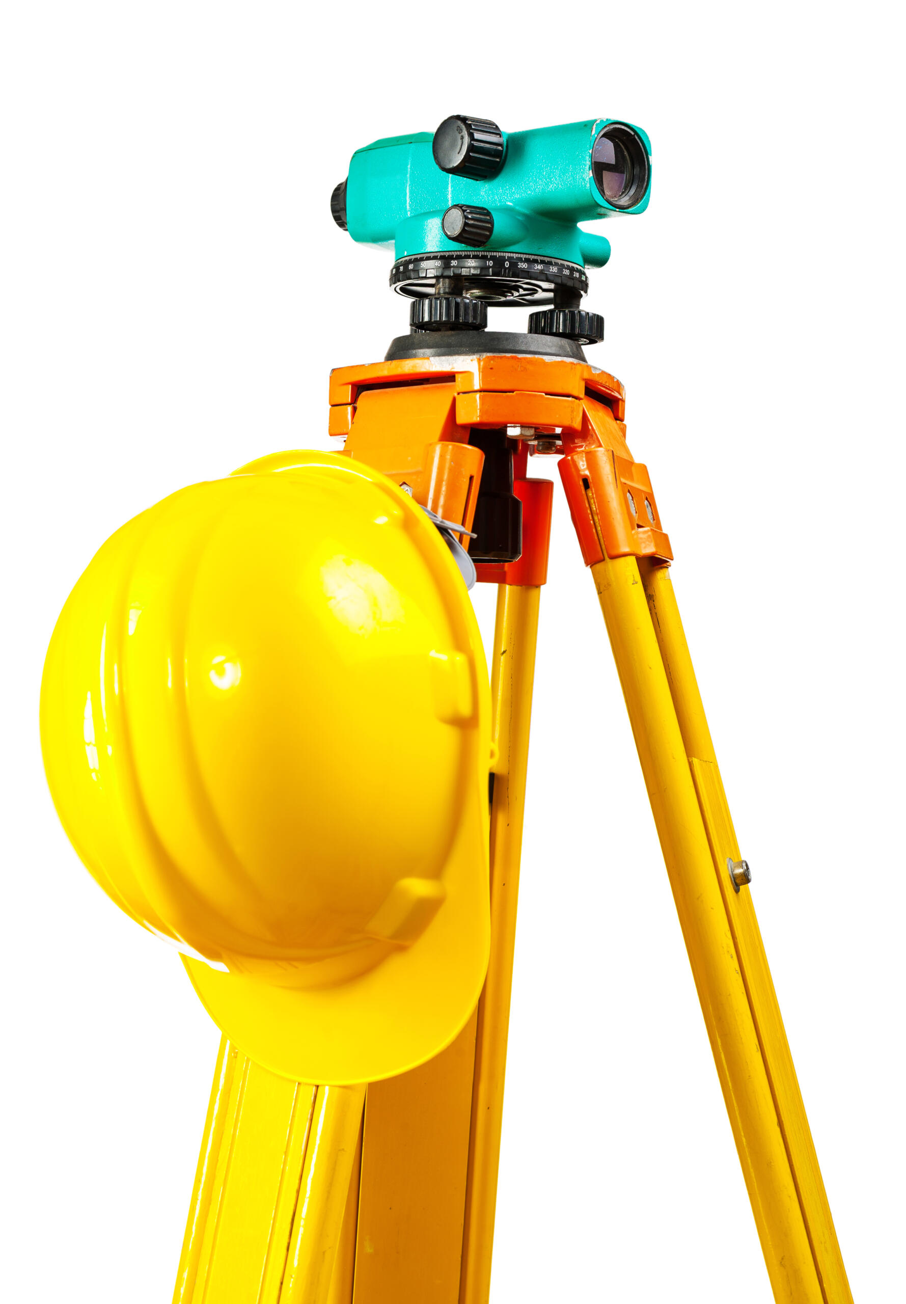
Every real estate transaction, construction project, and land investment in the Rio Grande Valley benefits from an accurate property survey. Without it, you may be making decisions without a complete understanding of the property. At Southpoint Geodetics, LLC, we provide homeowners, builders, and investors with information to help them move forward with greater clarity. In this guide, we cover what property surveyors do, the types of surveys available, typical pricing, and how to choose the right surveying partner for your project.
A property surveyor measures and maps land boundaries, structures, and features to produce a legally recognized document used for many real estate transactions, construction projects, and land development activities. In the Rio Grande Valley, hiring a licensed surveyor like Southpoint Geodetics helps document property lines, easements, and improvements, which can reduce the risk of disputes, permitting delays, and title complications.

What Professional Property Surveying Services Actually Do
At its core, a property survey establishes the location and dimensions of a parcel of land. Professional property surveying services use a combination of advanced GPS equipment and traditional field techniques to measure boundaries, locate improvements, and document features that may affect how a property can be used.
A licensed surveyor does more than take measurements. They research recorded deeds, plats, and legal descriptions, then compare that documentation against physical evidence on the ground. Markers and monuments may be set or restored at corners to indicate boundary locations.
This work is important because land records are not always clear. Fences can shift over time, older descriptions may reference landmarks that no longer exist, and easements may not always appear in a basic title search. A survey helps clarify these uncertainties with supporting documentation. If you want a broader overview of the field, our essential guide to land surveying in South Texas explains the basics in plain language.
Common Types of Property Surveys and When You Need Them
Not every project calls for the same survey. The type you need depends on whether you are closing on a home, addressing a boundary concern, or starting construction. Understanding the options early can help reduce the likelihood of delays.
Boundary surveys for buying or selling
A boundary survey is one of the most common requests from homeowners and buyers. It establishes the lines of a parcel using its legal description and may include setting monuments at the corners.
Boundary surveys are helpful when a fence appears out of place, when a neighbor questions a property line, or when you want more certainty before purchasing land. For sellers, having clear documentation can help reduce the likelihood of unexpected issues at closing.
Surveys for builders, developers, and land investors
Builders and developers typically need more detailed information. A topographic survey maps the physical features and contours of a site so engineers and architects can plan grading and drainage. An as‑built survey documents what was constructed, which lenders and municipalities may require for certain approvals or final inspections.
Investors evaluating raw land or acreage often benefit from boundary and topographic data before committing to a purchase. For larger projects, construction staking helps guide crews during the build. You can explore the full range of services we offer to match the survey to your project.
How Much a Property Survey Costs and How Long It Takes: Professional Property Surveying Services
Cost and timing depend on the property and scope of work. A standard residential boundary survey on a single lot typically costs less and takes less time than a topographic survey across larger acreage.
Factors that influence price
-
The size and shape of the parcel
-
The clarity or complexity of existing records
-
Terrain, vegetation, and site accessibility
-
The type of survey and level of detail required
What timelines depend on
The time required for a survey depends on several factors, including property size and complexity, the type of survey, terrain and accessibility, availability of records and monuments, and whether title‑related issues need additional research.
Starting early is recommended. Coordinating the survey before a closing date or construction deadline can help keep your schedule on track. If you have questions about your specific situation, feel free to reach out to our team for an estimate.
What to Look for When Choosing a Licensed Surveyor in South Texas

Choosing the right surveyor plays an important role in your project. The most important requirement is licensing. In Texas, boundary work must be performed under a Registered Professional Land Surveyor, and the markers and control points they set carry legal significance. You can learn more about how official survey control is established in the TxDOT control points guidance.
Key factors to consider
-
Local knowledge. Familiarity with the Rio Grande Valley helps account for regional land patterns and conditions.
-
Modern equipment. GPS combined with conventional techniques supports accurate measurements.
-
Clear communication. You should understand the scope of work and deliverables.
-
Reliable turnaround. Delays in surveying can impact project timelines.
Why choose Southpoint Geodetics
At Southpoint Geodetics, LLC, we are a locally owned company serving South Texas. We work with realtors, mortgage brokers, engineers, and project managers to help maintain accurate land records. You can browse our blog for related resources anytime.
Conclusion: Professional Property Surveying Services
You now have a clearer picture of what professional property surveying services involve, which survey may fit your situation, and what to expect in terms of cost and timing. Accurate boundary information can help reduce the risk of disputes and unexpected issues. When you are ready to take the next step, contact us to discuss your property and available options.
Do I need a property survey when buying a home in Texas?
Texas law does not require a property survey to purchase a home, but most lenders and title companies strongly recommend or require one before closing. A current survey helps uncover boundary concerns, easements, or encroachments that could complicate the transaction or affect your ownership rights later. Without one, you may face unexpected disputes or title issues down the road. Investing in a professional survey can provide additional peace of mind during the buying process.
What’s the difference between a boundary survey and a mortgage survey?
A boundary survey precisely identifies and marks the legal corners and lines of your property, often using physical monuments, and is commonly used for construction projects, fencing, or resolving disputes. A mortgage survey, also called a location survey, is a less detailed inspection used primarily by lenders to confirm that improvements appear within property lines. While both serve important purposes, a boundary survey generally offers greater detail and reliability when precise property limits matter.
How long is a property survey valid?
A property survey does not technically expire, but lenders, title companies, and municipalities generally prefer surveys reflecting current property conditions. If structures have been added, fences moved, or boundaries altered since the original survey, an updated version may be advisable. Many lenders request surveys completed within the last several years to help support accuracy. When in doubt, consult your surveyor or title company to determine whether your existing survey remains acceptable for your transaction or project.
Can a property survey resolve a boundary dispute with my neighbor?
A licensed professional survey provides documented, objective evidence of boundary locations based on recorded deeds, historical records, and field measurements. This documentation is frequently used to help address disputes between neighbors or serve as supporting evidence in legal proceedings. While a survey alone may not settle every disagreement, it establishes a credible foundation for negotiation or mediation and often encourages neighbors to work toward a resolution without lengthy court involvement.
How do I find a qualified property surveyor in South Texas?
Look for a surveyor licensed by the Texas Board of Professional Engineers and Land Surveyors (TBPELS) with proven experience in your specific area. Check online reviews, ask for client references, and confirm they use modern equipment and carry appropriate professional liability insurance. Request detailed quotes from multiple surveyors and verify their familiarity with local regulations. Choosing an experienced, reputable professional supports accurate results and smoother project completion.
What should I expect during the property survey process?
The process typically begins with research into recorded deeds, plats, and legal descriptions to understand your property’s history. Next, surveyors conduct fieldwork using specialized equipment to locate boundaries, corners, and improvements. Afterward, a detailed plat or written report is prepared for use by you, lenders, title companies, or other relevant parties. The entire process may take days or weeks depending on property size, complexity, terrain, and the availability of historical records.
Will a property survey identify easements and encroachments?
A property survey may identify recorded easements and visible encroachments, such as fences, driveways, or structures crossing property lines into neighboring parcels. However, not all unrecorded agreements or hidden issues can be detected through fieldwork alone, which is why reviewing title documents alongside the survey is strongly recommended. Combining both resources gives you a clearer understanding of your property rights, potential limitations, and any obligations that could affect future use or development plans.