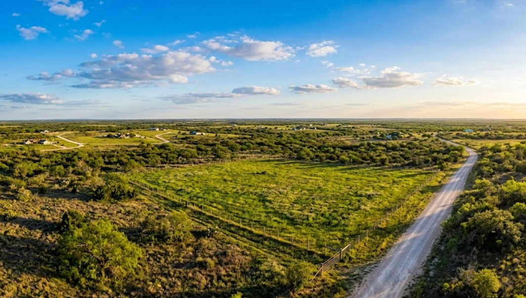
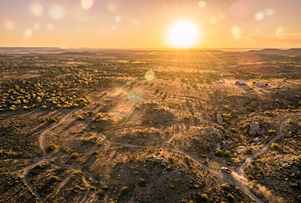
Rio Grande City sits where South Texas ranch country meets the Rio Grande, a landscape shaped by Spanish land grants, shifting riverbeds, and generations of family ownership. That history makes property lines here more than just coordinates on a map—they carry legal weight that can trace back centuries. Before you buy, build, or settle a boundary question, land surveying services in Rio Grande City, TX give you the documented proof that protects your investment.
We’ve seen firsthand how skipping a survey leads to problems: fence lines that don’t match deeds, construction permits denied over easement conflicts, and title issues that stall closings. Lenders, title companies, and Starr County officials all require accurate survey data before approving transactions or breaking ground. A professional survey eliminates guesswork and puts verified boundaries in writing.
In this guide, we’ll cover when a survey is necessary, the different types available for residential and commercial properties, what to expect during the process, and how to choose a qualified surveyor for your project.
Why You Might Need a Land Survey in Rio Grande City
There are more situations that call for a land survey than most people realize. If you’re purchasing property, your lender or title company will almost certainly require one before closing. But that’s just the starting point.
Boundary disputes are common in areas like Rio Grande City, where many parcels have deep historical roots and older legal descriptions that may not match modern records. Fences shift over time. Neighbors build improvements that creep past property lines. Without a current survey, it’s difficult to know exactly where your land begins and ends.
Other common reasons include:
- Preparing for construction on residential or commercial property
- Subdividing land for sale or development
- Resolving encroachment issues before they become legal disputes
- Obtaining flood elevation data for insurance purposes
- Updating records on inherited or long-held family property
In each of these cases, an accurate survey gives you a clear, documented picture of the property. That kind of certainty is hard to put a price on, especially when significant money or family land is involved. If you’d like to browse our blog for related topics, you’ll find more guidance on specific survey situations property owners commonly face.
Types of Land Surveys Available in Rio Grande City, TX
Not every survey serves the same purpose, and choosing the right type depends on what you’re trying to accomplish. Here are some of the most commonly requested surveys for property owners and developers in the area.
Boundary Survey
A boundary survey establishes the exact legal boundaries of a parcel by analyzing deeds, plats, and physical markers. It’s the go-to survey for resolving property line questions and is often required before fencing, building, or selling land.
Mortgage Survey
If you’re financing a property purchase, your lender will likely require a mortgage survey. This survey maps all improvements on the property and confirms there are no encroachments or boundary conflicts that could affect the title.
Topographic Survey
Topographic surveys map both natural and man-made features of a site, including elevation changes, drainage patterns, and existing structures. Engineers and architects rely on these when planning new development or evaluating a site’s buildability.
ALTA/NSPS Land Title Survey
This is a comprehensive survey that meets standards set jointly by the American Land Title Association and the National Society of Professional Surveyors. It combines elements of boundary, mortgage, and topographic surveys into one detailed report, often used for commercial transactions and title insurance.
Farm and Ranch Survey
For larger rural properties in Starr County and surrounding areas, farm and ranch surveys provide accurate acreage calculations and boundary documentation. These are especially important when buying or selling agricultural land.
At Southpoint Geodetics, LLC, we offer all of these survey types and more. You can learn more about our survey services to find the right fit for your specific property needs.
When a Land Survey Is Required for Your Property Transaction

Timing matters. Knowing when a survey is required can help you avoid delays that push back closings or stall construction projects.
Most real estate transactions in Texas involve a survey at some point. Mortgage lenders typically require a current survey before they’ll approve financing, and title companies need one to issue title insurance without exceptions. If the existing survey on file is outdated or if improvements have been made to the property since the last survey, a new one will usually be necessary.
Beyond sales, there are other moments when a survey becomes essential:
- Before breaking ground on new construction, local permitting may require a site plan based on a current survey.
- When adding structures like garages, fences, or pools, a boundary survey confirms you’re building within your property lines.
- During estate settlements, an updated survey helps establish fair value and clear boundaries for inherited property.
- Before subdividing a parcel, local regulations require a survey to create new legal descriptions for each resulting lot.
The key takeaway here is straightforward: if you’re spending significant money on a property decision, getting a survey done early in the process keeps things moving and prevents unpleasant surprises at the worst possible time.
What To Expect During the Land Surveying Process
If you’ve never hired a surveyor before, the process is simpler than you might think.
It typically starts with a conversation. You’ll describe your property, explain why you need the survey, and provide any existing documents you have, such as a deed, prior survey, or plat map. From there, the surveyor will research public records, historical deeds, and any relevant data tied to your parcel.
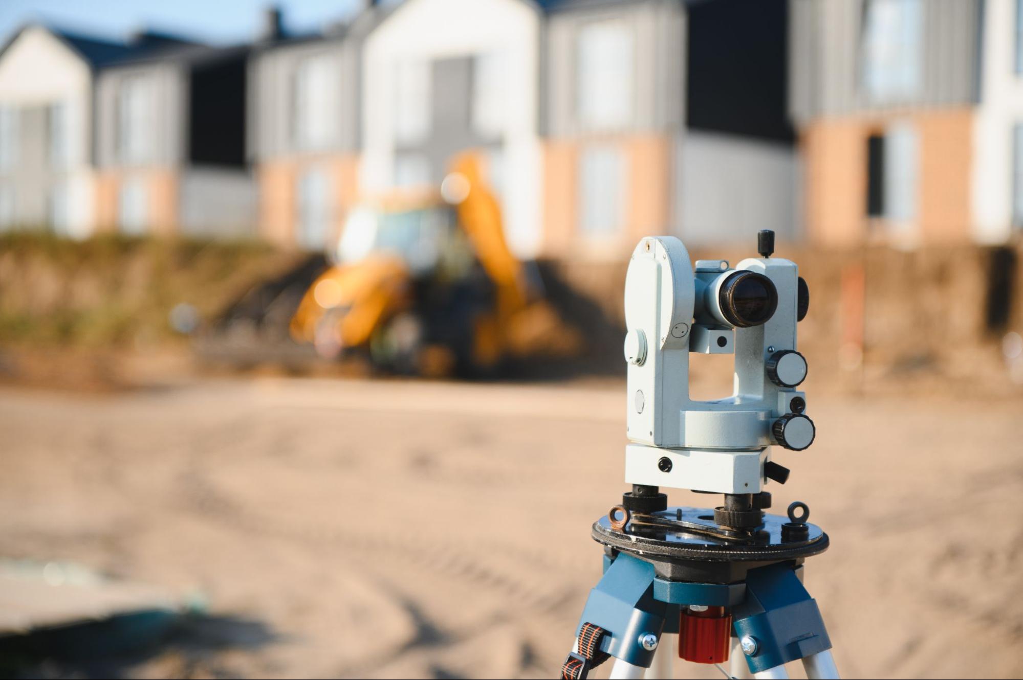
The fieldwork comes next. A licensed surveyor and their crew visit the property to take measurements using a combination of GPS technology and traditional surveying instruments. Depending on the size of the parcel and the type of survey, fieldwork can take anywhere from a few hours to a full day or more.
After the field measurements are complete, the surveyor processes the data and prepares a detailed survey plat or map. This document shows property boundaries, easements, improvements, and any other features relevant to your survey type. Once finalized, you’ll receive the completed survey, which can be provided to your lender, title company, contractor, or attorney as needed.
Most standard surveys for residential properties in the Rio Grande City area can be completed within one to two weeks, though timelines can vary depending on property complexity and current workload.
Choosing a Qualified Land Surveyor in Rio Grande City

Not all surveyors bring the same level of knowledge to a project, and local experience matters more than many people realize. South Texas has its own set of land use patterns, historical deed records, and terrain considerations that a surveyor unfamiliar with the region might overlook.
When evaluating a surveyor, look for:
- State licensure. In Texas, land surveyors must be Registered Professional Land Surveyors (RPLS). This is non-negotiable.
- Local experience. A surveyor who knows the Rio Grande Valley understands the area’s unique property histories and regulatory landscape.
- Range of services. Projects sometimes expand in scope. Working with a firm that offers multiple survey types means you won’t need to start over with someone new.
- Clear communication. You should be able to ask questions and get straightforward answers about timelines, costs, and deliverables.
At Southpoint Geodetics, LLC, we are a locally owned firm founded by Michael Wood, a Registered Professional Land Surveyor licensed in both Texas and Mississippi. Based in Harlingen, we serve property owners throughout the Rio Grande Valley, including Rio Grande City and the broader Starr County area. We use state of the art GPS and conventional surveying techniques to deliver accurate, reliable results for every project we take on.
Conclusion

Understanding land surveying services in Rio Grande City, TX doesn’t have to be complicated. Whether you’re preparing for a home purchase, resolving a boundary question, or planning a new build, the right survey gives you the documentation and confidence to move forward without second-guessing.
The most important step is starting early. Getting a survey done before deadlines loom or disputes escalate puts you in a stronger position, both financially and legally.
If you have questions about which type of survey fits your situation, or if you’re ready to get started, contact us to discuss your property. At Southpoint Geodetics, LLC, we’re here to help property owners across South Texas make informed, confident decisions about their land.
Why do I need land surveying services in Rio Grande City, TX?
A land survey protects your investment by establishing exact property boundaries, identifying encroachments, and providing documentation required by lenders and title companies. In Rio Grande City, where many parcels have deep historical roots, an accurate survey prevents costly boundary disputes and ensures smooth property transactions.
What types of land surveys are available in Rio Grande City?
Common survey types include boundary surveys, mortgage surveys, topographic surveys, ALTA/NSPS land title surveys, and farm and ranch surveys. Southpoint Geodetics, LLC offers all of these along with engineering surveys, as-built surveys, foundation surveys, and digital terrain modeling to fit any project need.
How long does a land survey take in Rio Grande City, TX?
Most standard residential land surveys in the Rio Grande City area are completed within one to two weeks. Timelines depend on property size, survey type, and complexity. Fieldwork itself can range from a few hours to a full day, followed by data processing and preparation of the final survey plat.
How much does it cost to have land surveyed in Texas?
Land survey costs vary based on property size, terrain, survey type, and complexity of the legal description. A standard residential boundary or mortgage survey typically costs less than a comprehensive ALTA/NSPS survey. Contact Southpoint Geodetics, LLC at (956) 368-5074 for a personalized quote tailored to your project.
Do I need a survey before building a fence or adding a structure to my property?
Yes. A boundary survey confirms your exact property lines before building fences, garages, pools, or other structures. Without one, you risk encroaching on a neighbor’s property, which can lead to legal disputes and costly removal. Local permitting in Rio Grande City may also require a current survey for construction approval.
How do I choose a qualified land surveyor in Rio Grande City, TX?
Look for a Texas Registered Professional Land Surveyor (RPLS) with local experience in the Rio Grande Valley. Southpoint Geodetics, LLC, founded by RPLS-licensed Michael Wood and based in Harlingen, serves Rio Grande City and all of South Texas using advanced GPS and conventional techniques to deliver accurate, reliable results.