If you are buying, selling, or building on property in South Texas, choosing a certified land surveying company is one of the most important decisions you will make. A good survey will clarify exactly what you own, where you can build, and what might limit how you use your land. A poor or unlicensed survey can lead to disputes, delays, or extra costs long after you expected the project to be finished.
At Southpoint Texas Surveying, we know that most property owners and real estate professionals are not survey experts. In this guide, we explain what a certified land surveying company actually does, why licensing matters in Texas, and how to evaluate qualifications, costs, and timelines so you can move forward with confidence.
What A Certified Land Surveying Company Actually Does
A certified land surveying company provides legally recognized measurements and maps of land that support ownership, development, and financing decisions. In practical terms, that means we collect, calculate, and document the exact location of boundaries, improvements, and physical features on or near your property.
A typical survey will confirm the boundary lines described in your deed, locate existing monuments or set new ones, show buildings, fences, driveways, and other improvements, and identify known easements and restrictions that affect how the land can be used.
The finished product is not just a drawing. It is a legal document that title companies, lenders, and local agencies rely on when they issue title insurance, approve a loan, or review a construction permit.
Common Types Of Surveys For South Texas Property Owners
In South Texas, a certified land surveying company is often asked to perform one or more of the following survey types:
- Boundary survey. Establishes or confirms property lines based on your legal description, often used before building a fence, resolving a neighbor issue, or subdividing a tract.
- Mortgage or title survey. Documents boundaries and visible improvements so lenders and title companies can clear a transaction for closing.
- ALTA/NSPS land title survey. A detailed standard often required for commercial properties that combines elements of boundary, topographic, and improvement mapping.
- Topographic survey. Maps the terrain and relevant features, including contours, to support drainage design, grading, and future development planning.
- Engineering and construction surveys. Provide staking and layout for foundations, utilities, roads, and other improvements.
- Farm and ranch or large acreage surveys. Cover larger tracts and may include interior fence lines, water features, and access easements.
Why Certification And Licensing Are Important For Your Property

In Texas, only a state licensed Registered Professional Land Surveyor can determine property boundaries. Certification and licensing are not just credentials on paper, they are what give your survey legal standing.
A licensed surveyor is required to follow state laws, professional standards, and ethical rules. Their work can be used in court, relied upon in title insurance policies, and accepted by cities and counties for permitting.
How Certification Protects You In A Real Estate Transaction
Real estate transactions in South Texas move quickly, yet the consequences of an inaccurate survey can last for decades. Certification protects you by giving lenders, title companies, and attorneys a reliable picture of the property before closing.
A certified survey can help identify:
- Encroachments such as fences or driveways that cross the line
- Access problems, including missing or poorly defined easements
- Structures that may violate setback lines or recorded restrictions
- Conflicts between the deed description and what exists on the ground
By resolving these issues early, you reduce the risk of last minute delays, renegotiations, or legal disputes after closing.
Risks Of Using An Unlicensed Or Inexperienced Surveyor
Using an unlicensed or inexperienced surveyor might seem like a way to save money, but it can create significant risk. Common problems include surveys that lenders or permitting agencies will not accept, boundary errors that lead to encroachments, missing easements that limit how you can use your land, and poor documentation that makes the survey difficult to defend if a dispute arises.
If an unlicensed person prepares a boundary opinion, it may have no legal value, even if you paid for it.
Key Qualifications To Look For In A Land Surveying Company
When you compare survey providers, it helps to look past the basic question of price and ask whether the company is qualified to handle your specific type of property and project.
Licensing, Insurance, And Professional Affiliations
The first step is to verify that the surveyor of record holds an active Texas license. You can confirm this with the Texas Board of Professional Engineers and Land Surveyors using the surveyor’s name or license number.
You should also ask about insurance. General liability coverage protects against certain on site incidents, while professional liability coverage helps address potential issues tied to professional services.
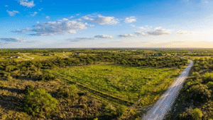
Local South Texas Experience And Familiarity With Agencies
Surveying is always local. A land surveying company that works regularly in South Texas brings several advantages:
- Familiarity with county clerk records, appraisal district data, and local subdivision plats
- Understanding of common boundary patterns in older neighborhoods, rural subdivisions, and irrigated farmland
- Experience working with city planning departments, drainage districts, and transportation agencies
- Awareness of floodplain and coastal considerations that often affect design and insurance decisions
If you would like to learn more about how different survey types relate to common property questions, you can explore helpful articles on our blog.
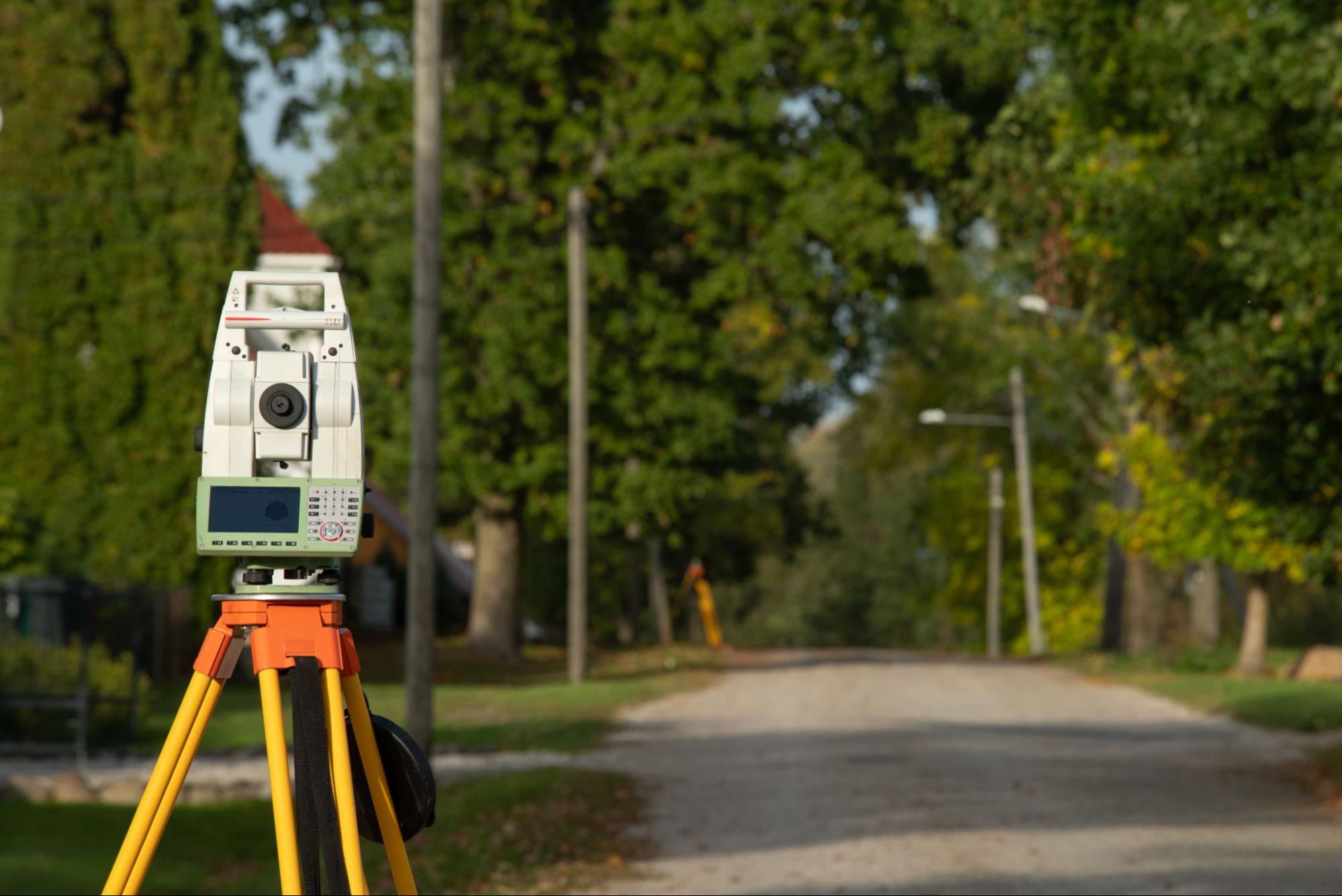
Technology, Equipment, And Quality Control Processes
Qualified survey companies combine field expertise with the right tools and internal checks. Modern surveying often uses a mix of Global Positioning System equipment, robotic total stations, digital levels, and computer aided drafting software.
A certified land surveying company should also have clear procedures for checking measurements in the field, reviewing calculations in the office, and documenting how decisions were made.
How The Surveying Process Works From Start To Finish
Understanding the basic steps in a survey helps you plan realistic timelines and communicate more clearly with your surveyor. First, we define the scope. We then confirm the property description, desired deliverables, and your schedule. After that, research, field work, calculations, and review all come together in the finished document.
What To Have Ready Before You Order A Survey
Before you request a survey, it is helpful to gather:
- The most recent deed or legal description of the property
- Any prior surveys, even if they are older or for adjoining tracts
- A current title commitment if the survey supports a sale or refinance
- Recorded subdivision plats and easement documents if you have them
- Contact information for your title company, lender, and real estate agent
You should also share your goals and concerns. For example, let us know if you are worried about a fence line, planning a new addition, or working within a short option period.
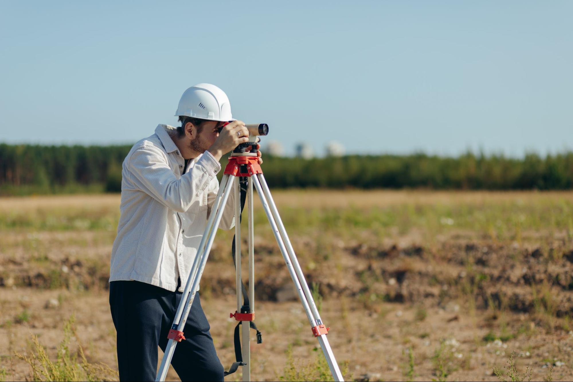
What Happens On Site And After The Field Work
During field work, our crew visits the property to locate existing monuments, fences, structures, and other relevant features. We set or confirm reference points, measure distances and angles, collect elevation data when needed, and document any visible encroachments or easements.
Once the field work is complete, our office team downloads the data, performs the necessary calculations, and prepares the survey drawing. A licensed surveyor reviews the work, resolves any boundary questions, and only then signs and seals the final survey.
Cost, Timing, And Practical Tips To Avoid Delays
Cost and timing are often the most pressing questions property owners have about hiring a certified land surveying company.
Typical Price Factors For Residential And Land Surveys
Several elements affect how much a survey will cost:
- Size and shape of the property. Larger tracts or irregular parcels take more time to measure and map.
- Terrain and vegetation. Thick brush, uneven ground, or limited access conditions can increase field time.
- Type of survey and required detail. A simple boundary survey usually costs less than an ALTA standard or a detailed topographic survey.
- Schedule requirements. Very short deadlines may require additional resources.
How To Keep Your Survey On Schedule Before Closing
There are practical steps you can take to help avoid delays:
- Request your survey as soon as your contract is signed, rather than waiting until the end of the option period
- Provide deeds, prior surveys, and title documents promptly so research can begin
- Make sure gates are unlocked or access instructions are clear, and secure pets that may interfere with field crews
- Coordinate your survey due date with your lender and title company requirements
Questions To Ask Before Hiring A Certified Land Surveyor
Before you commit to a certified land surveying company, it is wise to ask a few direct questions. Consider asking:
- Who will be the Registered Professional Land Surveyor of record, and what is the Texas license number
- How much experience the company has with similar properties in your county
- What type of survey standard will be used and what the final deliverables will include
- Whether corners will be clearly marked on the ground
- What the estimated completion date is and how schedule changes will be handled
- What insurance coverage the company carries
Conclusion
Choosing a certified land surveying company is a key step in protecting your property rights and avoiding costly surprises in South Texas real estate and construction projects. When you work with a properly licensed, insured, and locally experienced team, your survey becomes a reliable foundation for buying, selling, building, or planning.
By understanding what surveyors do, why certification matters, how the process works, and which questions to ask, you can move forward with greater clarity and confidence.
If you are ready to discuss a specific property or timeline, contact our team today to get started.
Frequently Asked Questions About Certified Land Surveying Companies
What does a certified land surveying company do for South Texas property owners?
A certified land surveying company provides legally recognized measurements and maps that define your property boundaries, locate improvements like fences and buildings, and show easements, restrictions, and sometimes elevations. Lenders, title companies, and permitting agencies rely on these surveys to issue title insurance, approve loans, and review construction projects.
Why is it important to hire a certified land surveying company instead of an unlicensed surveyor?
In Texas, only a licensed Registered Professional Land Surveyor can determine property boundaries with legal standing. A certified land surveying company must follow state laws and professional standards, carry proper seals, and is regulated for consumer protection—unlicensed surveys may be rejected by lenders and agencies and offer little or no legal value.
How much does a residential land survey typically cost in South Texas?
Costs vary based on property size and shape, terrain and brush, location and travel time, the type of survey needed, and deadline pressures. Most firms provide project-specific quotes once they review your legal description and timeline.
How long does a certified land survey usually take before closing on a property?
Most residential and small commercial surveys in South Texas can be completed within a timeframe that fits typical closing schedules, assuming prompt access and documents. Requesting your survey early in the contract period helps avoid delays.
What should I have ready before hiring a certified land surveying company?
Gather your most recent deed or legal description, any prior surveys, a current title commitment for sales or refinances, subdivision plats, and easement documents if available. Also share your goals so the surveyor can tailor the scope to your project.
How do I choose the best certified land surveying company for my project?
Verify that the surveyor of record holds an active Texas license, ask about general and professional liability insurance, and look for strong South Texas experience with similar properties. Inquire about technology used, quality-control processes, turnaround times, and whether easements, encroachments, and flood information will be included in the deliverables.