Quick answer: The fastest way to schedule land survey near me is to hire a state-licensed surveyor who actively serves your county — in Texas, a Registered Professional Land Surveyor (RPLS). Verify their license on the Texas Board of Professional Land Surveying website, request a written quote that specifies the survey type (boundary, mortgage, ALTA, or topographic), and book at least 2–4 weeks before your closing or permit deadline. In the Rio Grande Valley, Southpoint Geodetics handles fieldwork and delivers results efficiently.
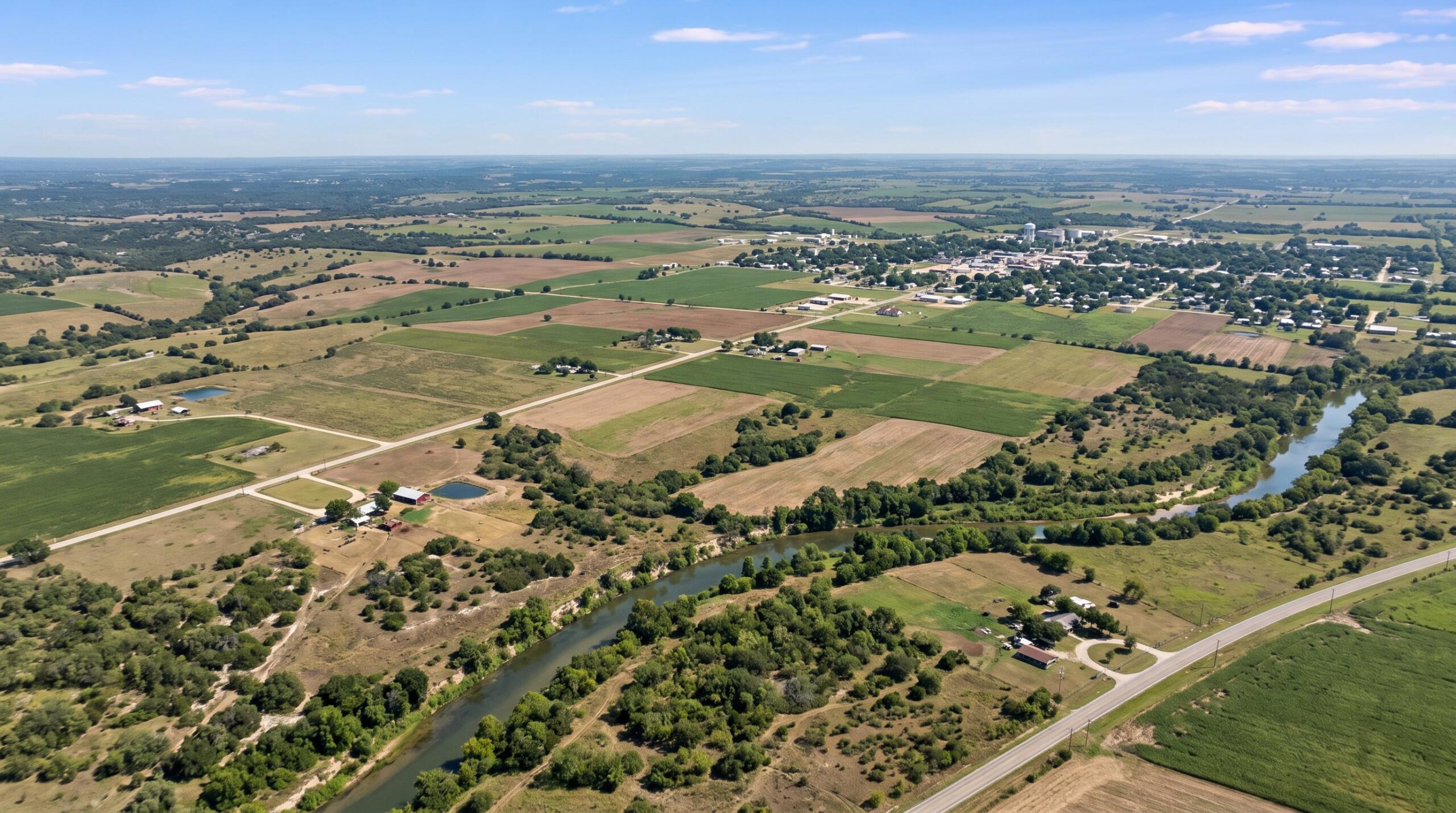
At Southpoint Geodetics, we have spent years helping clients who need to schedule land survey near me — across Cameron, Hidalgo, Willacy, and the surrounding Rio Grande Valley counties, from coastal lots near the Laguna Madre to farm and ranch tracts north of McAllen. That regional focus is why title companies, builders, lenders, and homeowners across South Texas call us when a closing date is on the line or a construction project cannot afford a boundary surprise. This step-by-step guide walks you through exactly when a survey is required, how to find a qualified local surveyor, what to expect during scheduling, and how to avoid the delays that derail otherwise smooth transactions.
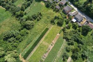
When You Actually Need to Schedule Land Survey
Not every property question requires a new survey, but several common situations do. You will likely need one if you are:
-
Buying or selling a home and your lender or title company requests it
-
Building a fence, pool, addition, or new structure
-
Settling a boundary question with a neighbor
-
Subdividing land or closing on acreage in the Rio Grande Valley
-
Applying for permits or an elevation certificate
If any of these apply, scheduling early protects your timeline. Surveys ordered at the last minute are the most common cause of delayed closings we see.

How to Find a Qualified Local Land Surveyor
A qualified surveyor must be a Registered Professional Land Surveyor (RPLS) licensed in Texas. That credential is not optional. Beyond licensing, look for a firm with direct experience in your county, whether that is Cameron, Hidalgo, Willacy, or further up the coast.
Local knowledge matters more than people expect. South Texas land carries its own quirks, from older Spanish land grant boundaries to floodplain considerations near the Arroyo Colorado and Laguna Madre. A surveyor familiar with these realities can spot issues a general firm might miss. You can learn more about our survey services to see what we cover across the region.
What to Expect During the Scheduling Process
When you call to schedule, the conversation is usually straightforward. We confirm the property location, ask what type of survey you need, and discuss your deadline. From there, we provide a quote and a realistic start date.
Most clients are surprised by how much smoother the process is when they arrive prepared. A short phone call with the right details often turns into a same-week site visit.
Information to Gather Before You Call
To speed things up, have the following ready:
-
The full property address and county
-
A copy of the deed or legal description
-
Any prior survey, plat, or title commitment
-
The reason for the survey (closing, construction, boundary question)
-
Your deadline and the name of any title company or lender involved
Typical Timelines and Costs in South Texas

Timelines depend on the survey type and property size. A standard residential boundary or mortgage survey in Harlingen, Brownsville, or McAllen can often be completed within one to two weeks. ALTA/NSPS surveys, farm and ranch surveys, and topographic work for larger tracts take longer because of the research and field time involved.
Costs vary based on acreage, terrain, access, and the records available. Rather than guessing, request a written quote tied to your specific parcel. For a sense of how surveys fit into broader property decisions, you can find additional resources in our blog.
How to Avoid Common Delays and Surprises
Most delays trace back to a few preventable issues. Missing deed information, locked gates, overgrown brush along property lines, and unclear access to back acreage all slow the field crew down.
A few simple steps help:
-
Notify tenants or neighbors if access is needed across adjoining land
-
Clear visible markers, fences, or corners when possible
-
Send paperwork to your surveyor as soon as you have it, not the day before fieldwork
-
Ask the title company to forward the commitment directly
For a broader look at how surveys support property decisions across the Valley, our guide on professional land surveying services for South Texas property owners walks through what to expect at each stage.
Conclusion: Ready to Schedule Land Survey Near Me?
Scheduling a land survey in South Texas is a straightforward process when you know what to expect. You have identified whether a survey is required for your closing, permit, or construction project. You know which type — boundary, location, topographic, or ALTA — fits your situation. You have gathered your deed, prior plats, and deadline information. Now it is simply a matter of connecting with licensed land surveyors who know this region.
Local experience matters here. Surveys that account for the unique characteristics of South Texas land — older deed descriptions, floodplain designations, improvements on the property that need to be accurately mapped — require a team that has worked in these counties before, not a firm running generic fieldwork from out of the area. When you are ready to move forward, reach out to our team for a written quote tied to your specific parcel. We will confirm the survey type, walk you through the timeline, and make sure nothing stands between you and your closing date or construction start.

What’s the difference between a land survey and a boundary survey?
‘Land survey’ is a broad category covering many types of work—boundary surveys, topographic surveys, ALTA/NSPS surveys, and location surveys. A boundary survey specifically establishes legal property lines through deed research, prior plats, and field measurements to place corner monuments. Most homeowners requesting ‘a survey’ actually need a location survey, unless an existing survey is accepted by the title company. The distinction matters because survey type directly affects cost, turnaround time, and what the final document can legally be used for.
When do I need to schedule land survey near me?
Schedule a land survey when buying or selling a home, building a fence, pool, or addition, settling boundary disputes with neighbors, subdividing land, refinancing a mortgage, or applying for construction permits. Scheduling early is critical because last-minute survey orders are the single most common cause of delayed real estate closings in South Texas. Booking two to four weeks ahead gives your surveyor time to research records and complete fieldwork without rushing.
What information should I have ready when scheduling a land survey?
Before calling, gather your full property address and county, a copy of the deed or legal description, any prior surveys or title commitments, your reason for the survey (closing, construction, boundary dispute), and your target deadline. Also note any access concerns like locked gates or aggressive dogs. Clients who provide complete information upfront often secure same-week site visits, while incomplete requests typically push fieldwork back by several business days.
How long does it take to complete a land survey?
Standard residential boundary or mortgage location surveys in South Texas typically take one to two weeks from order to delivery. ALTA/NSPS surveys, large farm and ranch surveys, and topographic work for sizable tracts take longer—often three to six weeks—because of expanded title research, more extensive fieldwork, and detailed drafting requirements. Weather, terrain, and courthouse record availability can also influence timelines, so always confirm specific turnaround expectations when scheduling.
What makes a land surveyor qualified and licensed?
A qualified surveyor must hold a Registered Professional Land Surveyor (RPLS) license issued by the Texas Board of Professional Engineers and Land Surveyors. Beyond licensing, local experience matters significantly. Surveyors familiar with your specific county understand regional quirks like Spanish and Mexican land grants, coastal floodplain considerations, and historic monument conventions—all of which directly affect accuracy and the legal defensibility of your final survey document.
What are common delays when scheduling a land survey?
The most preventable delays include missing or incomplete deed information, locked gates blocking access, overgrown brush along property lines, unclear easement records, and uncoordinated title company communication. Avoid these issues by notifying neighbors about access needs in advance, clearing visible boundary markers, submitting paperwork as early as possible, and looping in your title company or lender early. Proactive coordination often shaves days—sometimes weeks—off your total project timeline.
How much does a land survey cost in South Texas?
Survey costs vary based on acreage, terrain difficulty, site access, available historical records, and the specific survey type required. Rather than relying on online estimates or rough guesses, request a written quote tailored to your exact parcel and intended use. Southpoint Geodetics provides accurate, transparent pricing tied directly to your property’s unique characteristics—ensuring no surprise fees and a clear understanding of deliverables before any fieldwork begins.