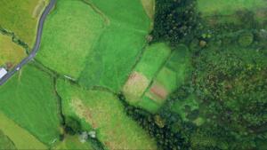
Willacy County has a long history of ranching, agriculture, and family land that’s passed through generations—and with that history comes property boundaries that aren’t always clear-cut. Old deeds reference landmarks that no longer exist, fence lines don’t match legal descriptions, and neighboring parcels may overlap in ways no one noticed until a sale or development brought it to light. That’s where a trusted land surveyor in Raymondville, TX becomes essential.
At Southpoint Texas Surveying, we’ve helped property owners, real estate agents, and contractors across South Texas untangle these exact situations. Whether you’re preparing to sell, resolving a boundary dispute, or breaking ground on new construction, a professional survey gives you the certainty you need before moving forward. In this guide, we’ll cover why land surveys matter here in Raymondville, the different types available, how to choose the right surveyor, and what to expect throughout the process.
Need a Pro for Your Land Surveying Project in Raymondville, TX?
There are several situations where a land survey goes from “nice to have” to absolutely essential. If you’re purchasing property, your lender or title company will likely require one before closing. This is standard practice—and for good reason. A survey confirms that the legal description matches the physical land and identifies any encroachments, easements, or boundary issues that could affect your ownership.
But buying isn’t the only trigger. If you’re planning to build a new structure—whether it’s a house, a shop, or even a fence—a survey ensures you’re building within your property lines and meeting local setback requirements. In Raymondville, where rural and residential parcels often sit side by side, this step is especially important.
Boundary disputes are another common reason property owners hire a land surveyor in Raymondville, TX. Maybe a neighbor’s structure appears to cross the line, or a fence was installed years ago in a spot that doesn’t match the deed. These situations can escalate quickly without clear, documented boundaries.
Other reasons include subdividing land, refinancing a mortgage, or preparing for estate transfers. In each case, an accurate survey serves as the foundation for informed decisions. We cover many of these scenarios in more detail on our blog.
Types of Land Surveys Available From a Land Surveyor in Raymondville, TX
Not every survey serves the same purpose. The type you need depends on your specific situation, and understanding the differences can help you avoid paying for more than you need or, worse, getting the wrong type altogether.
Boundary Survey, This is one of the most commonly requested surveys. It establishes the exact boundaries of a parcel based on its legal description, and it typically involves setting or restoring corner markers. If you’re dealing with a property line question, this is where you start.
Mortgage Survey, Required by most lenders before closing on a property purchase. A mortgage survey maps the boundaries and all improvements on the property being purchased, giving the lender and title company confidence that there are no surprises.
Topographic Survey, This type shows the physical features of the land, including elevation changes, drainage patterns, structures, and vegetation. Engineers and architects often rely on topographic surveys before designing anything on a site.
ALTA/NSPS Land Title Survey, A more comprehensive survey that combines elements of boundary, mortgage, and topographic surveys. It follows standards set by the American Land Title Association and the National Society of Professional Surveyors. These are common in commercial transactions and larger development projects.
Farm and Ranch Survey, Given the agricultural character of the Raymondville area, this one comes up often. Large parcels need specialized approaches and equipment to deliver accurate results efficiently.
At Southpoint Texas Surveying, we handle all of these and more. If you’re unsure which type fits your project, you can explore the full range of services we offer to get a clearer picture.
How To Choose the Right Land Surveyor
Choosing a land surveyor isn’t something most people do very often, so it helps to know what to look for. Here are a few things worth considering.
First, make sure the surveyor is a Registered Professional Land Surveyor (RPLS) in the State of Texas. This is a legal requirement for anyone performing land surveys in the state, and it ensures they’ve met the education, experience, and examination standards set by the Texas Board of Professional Land Surveying.
Second, look for local experience. South Texas has its own quirks when it comes to land records, property descriptions, and terrain. A surveyor who understands the Raymondville area, including how parcels were originally platted and how the land has been used over time, will be better equipped to deliver accurate results.
Third, ask about turnaround time. If you’re on a deadline for a closing or a construction start date, timing matters. A good surveyor will give you a realistic estimate upfront and communicate clearly if anything changes.
Finally, consider the company’s range of services. Some firms specialize in one type of survey, while others can handle everything from residential mortgage surveys to large-scale engineering and construction projects. Working with a full-service firm means you won’t need to start over with someone new if your needs change.
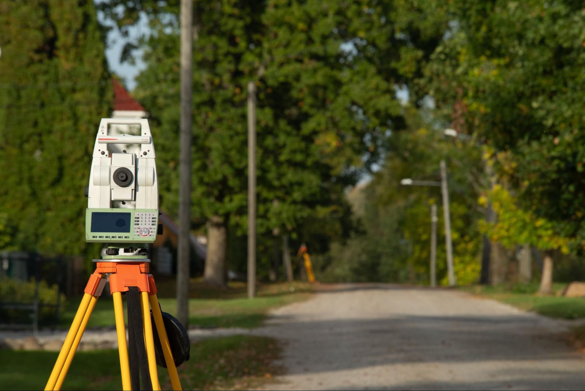
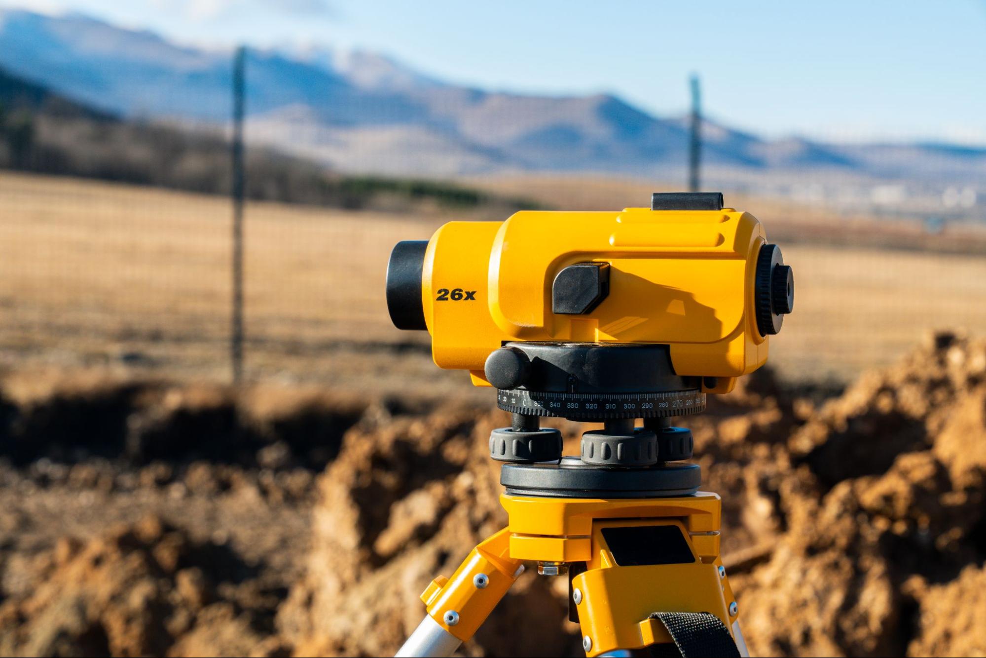
At Southpoint Texas Surveying, we are a locally owned company based in the Rio Grande Valley. We use advanced GPS technology alongside traditional surveying techniques to deliver accurate, dependable results for property owners across South Texas.
What To Expect During the Surveying Process
If you’ve never had a property surveyed before, the process might seem a little mysterious. Here’s a general idea of what to expect.
It typically starts with a conversation. You’ll discuss your needs with the surveyor, whether it’s a boundary confirmation, a mortgage survey for a pending sale, or something more involved. The surveyor will review available records, including deeds, plats, and any prior surveys on file.
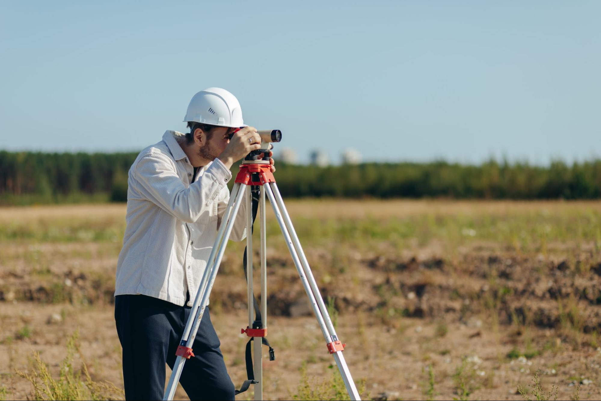
Next comes the fieldwork. A survey crew will visit the property to take measurements, locate existing markers, and identify physical features relevant to the survey type. Depending on the size and complexity of the parcel, this could take anywhere from a few hours to a full day or more. For larger farm and ranch properties around Raymondville, additional time may be needed.
After the field visit, the surveyor compiles the data into a formal survey document. This includes a scaled drawing showing boundaries, measurements, improvements, and any relevant findings like encroachments or easements. The completed survey is then reviewed, certified, and delivered to you.
Turnaround times vary depending on the scope of work and current demand, but most standard surveys are completed within a few days to a couple of weeks. If you have a specific deadline, it’s always a good idea to mention it early in the process so the surveyor can plan accordingly.
If you have questions about a specific project or want to get a timeline for your property, don’t hesitate to contact us to discuss your property.
Conclusion

A land survey is one of those things that works best when it happens before a problem surfaces. Whether you’re buying, selling, building, or simply want to know exactly where your property lines are, having accurate survey documentation puts you in a stronger position.
For property owners in Raymondville and throughout South Texas, working with an experienced land surveyor means fewer surprises, fewer delays, and greater confidence in every decision tied to your property. At Southpoint Texas Surveying, we’re here to provide that clarity.
If you’re ready to take the next step or just want to learn more, we’re happy to help.
Why do I need a land surveyor in Raymondville, TX?
A land surveyor in Raymondville, TX confirms that your property’s legal description matches the physical land. Whether you’re buying, selling, building, or resolving a boundary dispute, a professional survey identifies encroachments, easements, and setback issues—protecting you from costly surprises, especially on older Willacy County parcels where property lines can be unclear.
What types of land surveys are available in Raymondville?
Common survey types include boundary surveys, mortgage surveys, topographic surveys, ALTA/NSPS land title surveys, and farm and ranch surveys. The right choice depends on your project. Southpoint Texas Surveying handles all of these and more, serving property owners, realtors, and builders throughout South Texas.
How long does a land survey take in Raymondville, TX?
Most standard surveys are completed within a few days to a couple of weeks, depending on the scope and current demand. Fieldwork can range from a few hours on a residential lot to a full day or more for larger farm and ranch parcels. Mention any deadlines early so your surveyor can plan accordingly.
How much does it cost to have land surveyed in Texas?
Survey costs vary based on parcel size, terrain complexity, and the type of survey required. A simple mortgage survey typically costs less than a comprehensive ALTA/NSPS land title survey. Contact Southpoint Texas Surveying at (956) 368-5074 for a personalized quote tailored to your Raymondville property.
What should I look for when choosing a land surveyor in Raymondville?
Ensure the surveyor is a Registered Professional Land Surveyor (RPLS) in Texas. Prioritize local experience with South Texas land records and terrain, ask about turnaround times, and choose a full-service firm. Southpoint Texas Surveying is locally owned, based in the Rio Grande Valley, and uses advanced GPS alongside traditional techniques.
Do I need a survey before building a fence or structure on my property?
Yes. A boundary survey confirms your exact property lines and ensures any new structure—whether a home, shop, or fence—meets local setback requirements. In Raymondville, where rural and residential parcels often sit side by side, building without a survey risks encroaching on neighboring land and facing legal disputes.
Why should I have my land surveyed?
A land survey protects your investment by establishing accurate property boundaries, preventing disputes with neighbors, and ensuring compliance with local zoning laws. Whether you’re buying, selling, building, or subdividing property, a professional land surveyor in Raymondville, TX can identify easements, encroachments, and potential issues before they become costly problems.
How long is a survey good for?
Land surveys don’t technically expire, but their relevance depends on property changes and transaction requirements. Most lenders and title companies prefer surveys less than 10 years old. If significant changes have occurred—new construction, boundary disputes, or natural events—hiring an updated survey from a Raymondville, TX land surveyor is recommended.
What information is included in a land survey report?
A comprehensive land survey report includes property boundary lines, total acreage, easements, rights-of-way, and encroachments. It also details existing structures, fences, utilities, and topographical features. The report contains legal descriptions, surveyor certifications, and a detailed plat map showing all measurements and markers essential for property transactions and development planning.
What should Raymondville, TX homeowners know about land surveying services?
Raymondville homeowners should choose licensed, experienced surveyors familiar with local regulations and terrain. Request multiple quotes, verify credentials, and ask about turnaround times. Understanding different survey types—boundary, topographic, or ALTA—helps you select the right service. A quality land surveyor in Raymondville, TX ensures accuracy and provides documentation that protects your property rights.