If you’re trying to find a land surveyor in the Rio Grande Valley, you already know this region doesn’t follow the same rules as the rest of Texas. Floodplain designations shift. Boundary records go back to Spanish land grants. Irrigation district easements cut through properties in ways that surprise even experienced title companies. Getting the wrong surveyor — one who treats South Texas like any other job — can cost you time, money, and deals. This guide walks you through what to look for, what questions to ask, and why local expertise matters more here than almost anywhere else in the state.
Why the Rio Grande Valley Demands Specialized Survey Knowledge
South Texas presents a combination of title history, climate, and land use that most surveyors outside the region have never encountered. Properties here may carry remnants of Mexican land grants, acequia rights-of-way, and FEMA flood zone designations that have changed multiple times. The colonias scattered across Starr, Hidalgo, Cameron, and Willacy counties add another layer of complexity. A surveyor who hasn’t worked in the Valley will spend your money learning on the job.
Where to Get a Property Survey in the Rio Grande Valley
This is one of the most common questions buyers and agents ask: where do you actually get a property survey done? The answer is a licensed Texas RPLS — a Registered Professional Land Surveyor. You can locate one through the Texas Board of Professional Engineers and Land Surveyors (TBPELS), which maintains a public RPLS roster at pels.texas.gov. You can also ask your title company for a referral. Better yet, work with a locally owned firm that has an active presence in the counties where your property sits. Southpoint Geodetics, based in Harlingen, serves clients across the Rio Grande Valley with direct knowledge of local records, floodplain maps, and boundary history.

Exploring FEMA Flood Zones in South Texas
Much of the Valley sits in or near FEMA-designated Special Flood Hazard Areas. An Elevation Certificate — which can be prepared and certified by a licensed land surveyor, a registered professional engineer, or an architect authorized by law to certify elevation information — documents the elevation of a structure relative to the Base Flood Elevation on FEMA’s Flood Insurance Rate Maps. Some lenders, local ordinances, and private insurers still require one before closing, and having a current certificate can affect your flood insurance premium even where it isn’t formally required. In South Texas, those maps have been revised repeatedly, and a surveyor who tracks local amendments will catch discrepancies that could affect your financing or coverage costs.
Spanish Land Grants and Historic Boundary Lines
Boundary disputes in the Valley often trace back centuries. Spanish and Mexican land grant records, later confirmed or contested under the Republic of Texas and U.S. statehood, still affect how parcels are described today. Some original survey lines were set using varas — a Spanish unit of length standardized in Texas at 33⅓ inches, still referenced in field notes filed with the Texas General Land Office — and translating those descriptions into modern coordinates requires both technical expertise and local historical knowledge. This is not theoretical. It shows up in real transactions every month across Hidalgo and Cameron counties.
What Types of Surveys Do You Actually Need?
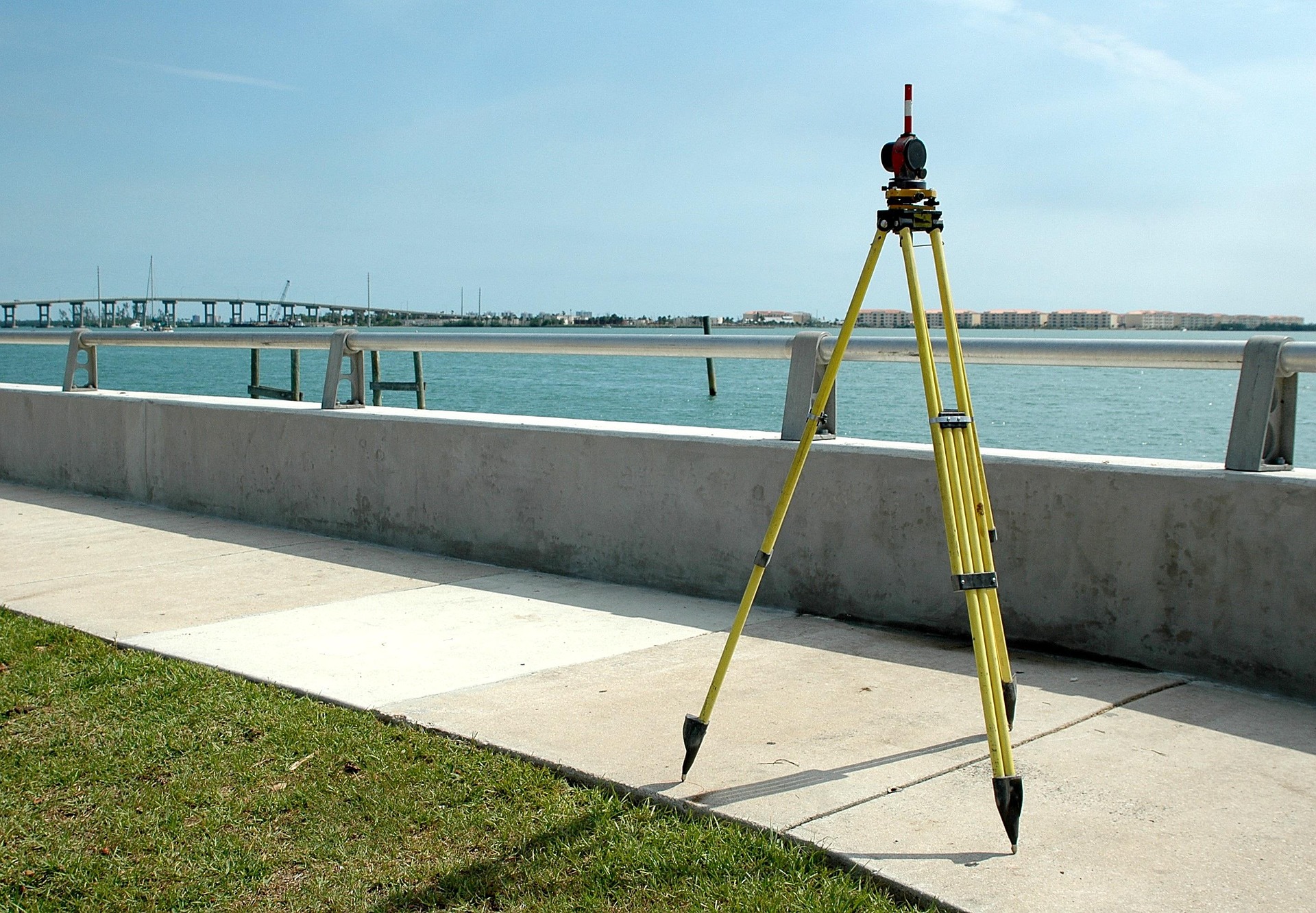
The answer depends on what you’re doing with the property. A Boundary Survey establishes the legal limits of a parcel based on recorded deeds and field measurements, and is typically required for title insurance. An ALTA/NSPS Survey meets a national standard developed for commercial real estate transactions and includes additional detail on easements, encroachments, access, and other items — with optional additions such as zoning information available depending on what your lender or title insurer requires. A Topographic Survey maps elevation and physical features for engineering and development planning. An Elevation Certificate documents flood risk for lenders and insurers. Understanding which survey fits your situation before you order one saves time and avoids paying for work you don’t need. Southpoint Geodetics offers a full range of land surveying services tailored to residential, commercial, and development projects.
Red Flags When Hiring a Land Surveyor
Price alone is a poor selection criterion. A low bid from an out-of-area firm that has to request Valley records from scratch often results in slower delivery and missed local encumbrances. Ask whether the surveyor has active experience in your specific county. Ask whether they have worked with local irrigation districts. Ask whether they hold a current Texas RPLS license — you can verify this through the TBPELS public roster. If the answers are vague, keep looking.
The Role of a Licensed RPLS in Texas
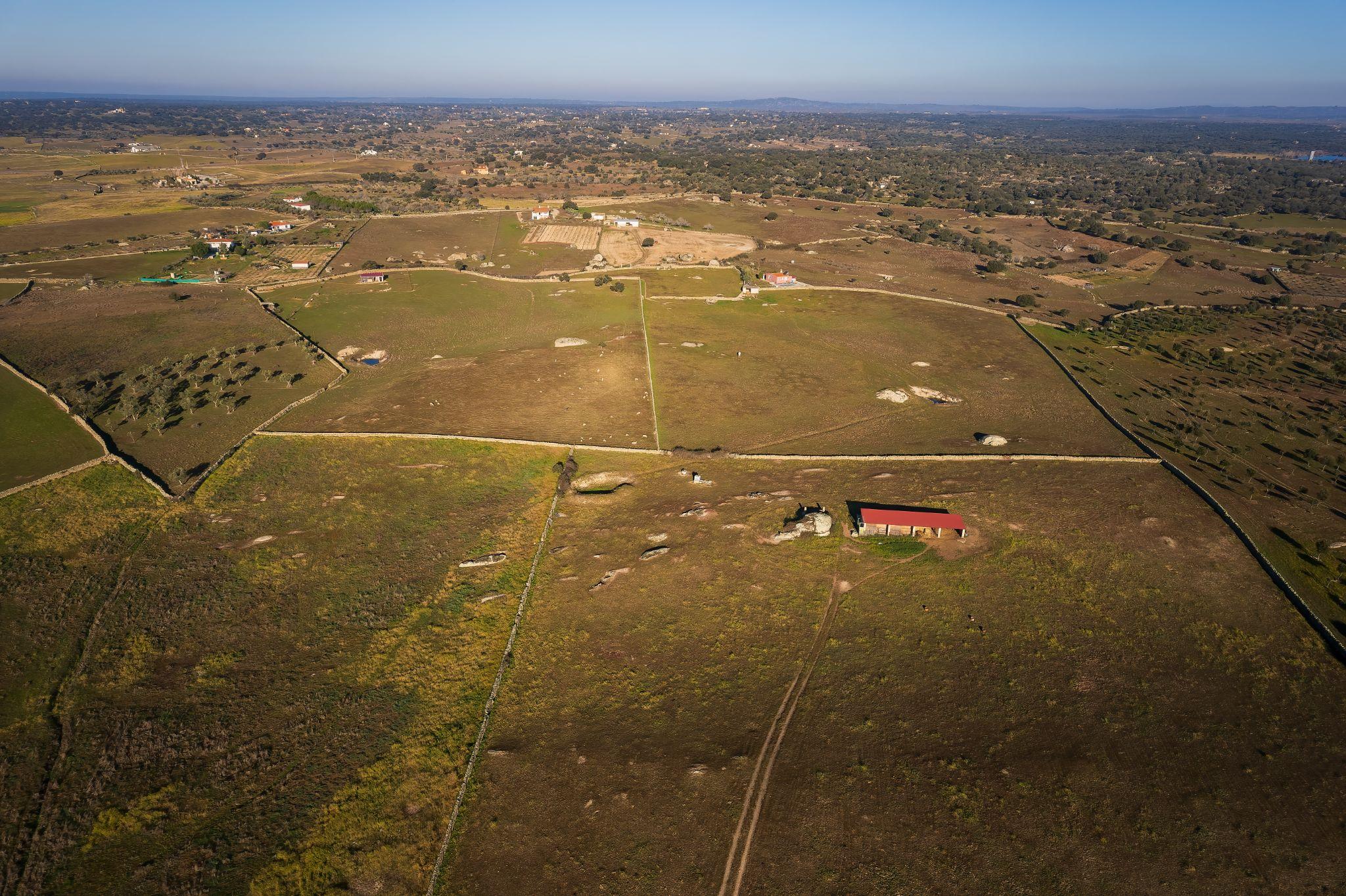
Texas law requires a Registered Professional Land Surveyor to perform and certify land surveys, a requirement regulated and enforced by the Texas Board of Professional Engineers and Land Surveyors under the Surveying Act. Earning that license requires a qualifying education credential, supervised field experience, and passing multiple exams including the NCEES Principles and Practice of Surveying exam and the Texas State Surveying Exam. A licensed RPLS seals and signs every survey document, placing their professional license behind the accuracy of the work. Michael Wood, RPLS, founded Southpoint Geodetics with that accountability built into every project. His licensure extends to both Texas and Mississippi, reflecting the kind of multi-jurisdictional experience that matters in border regions.
Working With Realtors, Developers, and Engineers
A good land surveyor functions as part of your professional team, not just a vendor you call once. Realtors depend on accurate surveys to avoid closing delays. Developers need survey data that integrates with civil engineering plans. Engineers rely on topographic accuracy to design drainage, utilities, and structures that meet county and city requirements. When your surveyor understands the workflow of each profession, the whole project moves more efficiently.
Conclusion: Find a Land Surveyor With Real Valley Experience
When you need to find a land surveyor for a South Texas property, local knowledge isn’t a bonus — it’s the baseline. Flood zones, historic boundaries, irrigation easements, and colonia records don’t come with shortcuts. Learn more about Southpoint Geodetics or call us at (956) 368-5074 to talk through your project. Ready to move forward? Request a quote and we’ll get back to you with what you actually need.
How do I find a land surveyor licensed in Texas?
The Texas Board of Professional Engineers and Land Surveyors (TBPELS) maintains a public RPLS roster at pels.texas.gov. You can also ask your title company or real estate attorney for a referral. For properties in the Rio Grande Valley, choosing a surveyor with active local experience in Starr, Hidalgo, Cameron, or Willacy County will save time and reduce the risk of errors tied to regional record-keeping quirks.
What is an Elevation Certificate and do I need one?
An Elevation Certificate documents the elevation of a structure relative to FEMA’s Base Flood Elevation for that location. While FEMA no longer requires one to purchase flood insurance through the NFIP under its current pricing approach, individual lenders, private insurers, and some local ordinances may still require one. In South Texas, where flood zone designations change frequently, having a current certificate can make a real difference in your insurance cost or your ability to satisfy lender requirements.
How long does a property survey take?
Survey timelines vary based on the type of survey, the size and complexity of the property, and the availability of existing records. Boundary surveys on standard residential parcels typically take less time than ALTA surveys on commercial properties. Discussing your deadline upfront helps your surveyor plan accordingly and flag any issues that might affect the schedule.
What is the difference between a boundary survey and an ALTA survey?
A Boundary Survey establishes the legal limits of a parcel based on recorded deeds and field measurements. An ALTA/NSPS Survey meets a national standard developed for commercial real estate transactions and includes additional items such as easements, encroachments, and access. Some items — including zoning information — are optional additions that require the client to request them and provide supporting documentation. ALTA surveys are more detailed and are commonly required by commercial lenders and title insurers.
Can a land surveyor resolve a boundary dispute with my neighbor?
A licensed surveyor can establish the legal boundary of your property based on recorded documents and field evidence, and that determination carries significant legal weight. However, if a neighbor contests the findings, the matter may require legal action to resolve. A survey provides the factual foundation for any dispute, but is not a substitute for legal counsel if litigation becomes necessary.