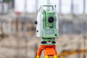

Professional land surveying is not just for major development projects or large rural tracts. A buyer may need clearer property information before closing. A current owner may need a boundary confirmed before installing a fence. A builder may need reliable site data before construction begins, while an investor may need to understand access, easements, or development limits before committing to a purchase.
So, who needs professional land survey services in Texas? Buyers and sellers, current property owners, real estate professionals, builders, developers, and investors may all rely on survey information at different stages of a property decision.
Southpoint Geodetics, LLC provides professional surveying services throughout the Rio Grande Valley and South Texas. We work with residential, commercial, rural, and development properties, helping clients replace assumptions with measured, documented information before important decisions are made.
Homebuyers and Sellers Preparing for a Real Estate Transaction

For buyers, a survey can help answer a basic question: What exactly is included with the property? Depending on the scope, it may show property boundaries, improvements, easements, access, and other conditions that are not always obvious during a walkthrough.
This is especially useful when a parcel has fencing, detached structures, a shared driveway, acreage, or improvements close to a boundary. Sellers may also need updated information if a fence, pool, garage, driveway, or addition was built after an older survey was completed.
Not every Texas home sale automatically requires a new survey. Requirements may depend on the lender, title company, purchase contract, condition of an existing survey, and changes to the property.
Clients preparing for a purchase, sale, or refinance can review Southpoint Geodetics’ professional land surveying services to better understand which survey may fit the transaction.
Property Owners Planning Fences, Improvements, or Land Changes
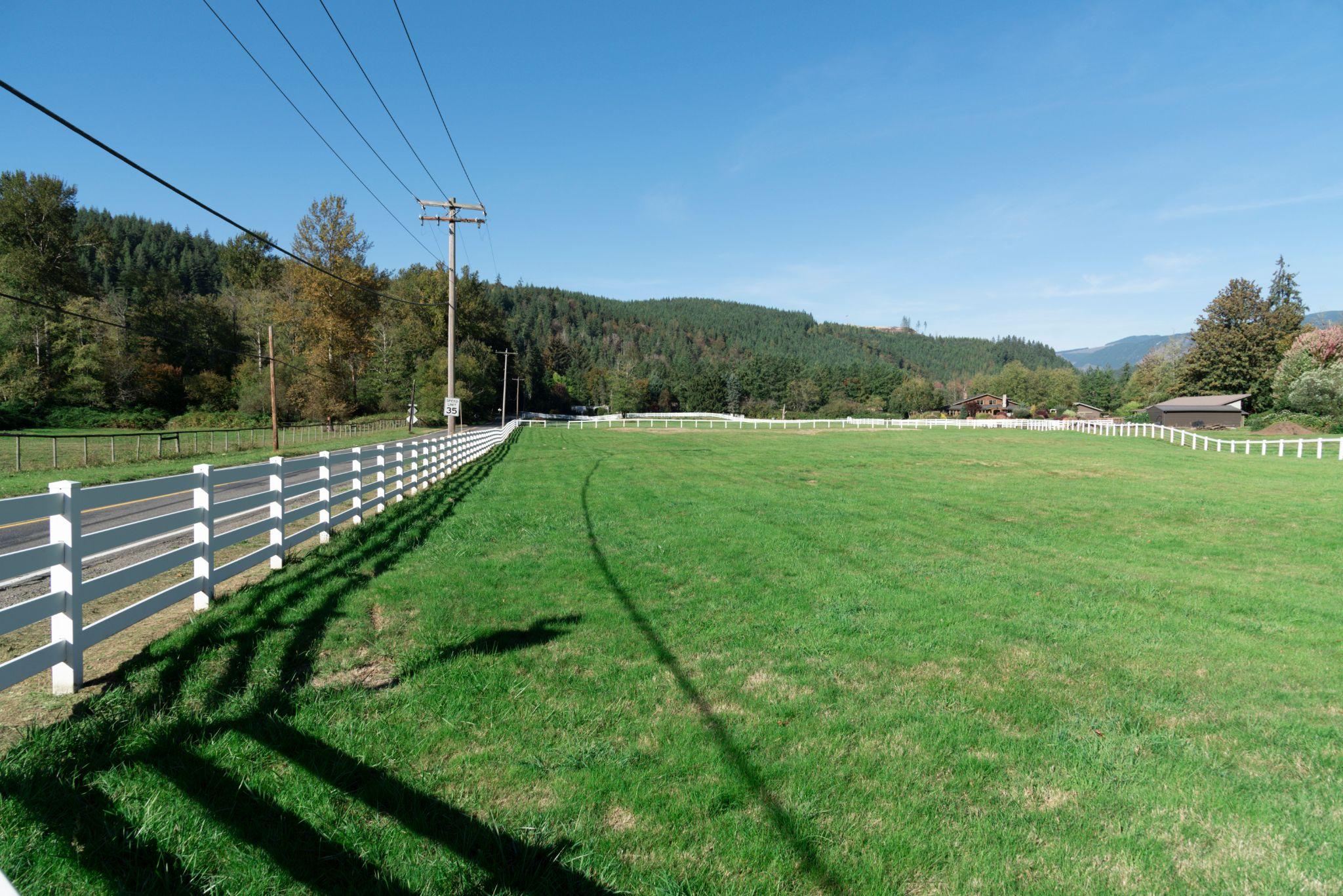
Current owners often need surveying even when no sale is involved. Before replacing a fence, adding a workshop, extending a driveway, dividing land, or building near a property line, it helps to know where the parcel actually begins and ends.
A fence may look like the obvious boundary without following the legal line. Online parcel maps and appraisal district drawings can also be useful for general reference, but they are not substitutes for professional boundary work when exact location matters.
A boundary survey can involve reviewing deeds and plats, locating available monuments, collecting field measurements, and evaluating how the physical evidence relates to the recorded description. Property owners looking for more background can also explore SouthPoint’s land surveying blog.
Real Estate Agents, Lenders, and Title Professionals
Property owners are not the only people who rely on survey findings. Real estate agents may use them to help coordinate transaction details, while lenders and title professionals may review survey documentation as part of financing or title-related requirements.
A Registered Professional Land Surveyor evaluates records and physical evidence, performs measurements, and prepares survey documentation. That role is different from the role of an attorney or title professional, who may address legal ownership, title coverage, or unresolved disputes.
For transactions involving irregular lots, shared access, detached improvements, or acreage, having clear survey information can help the parties understand the parcel before the transaction moves forward.
Builders and Developers Before and During Construction

For builders and developers, surveying often becomes part of the project rather than a one-time property check. Before design advances, the project team may need reliable information about boundaries, elevations, drainage, access, easements, utilities, or existing improvements.
Different project stages can call for different survey services. Boundary and topographic work may support early planning, construction staking can help transfer design locations to the field, and as-built surveys may document selected improvements after installation.
This can be especially important in South Texas, where drainage, resacas, irrigation infrastructure, irregular tracts, and access conditions can influence how a site is planned.
SouthPoint’s guide to land surveying for developers explains how surveying can support a project from due diligence through construction and closeout.
Investors Evaluating Property and Development Potential
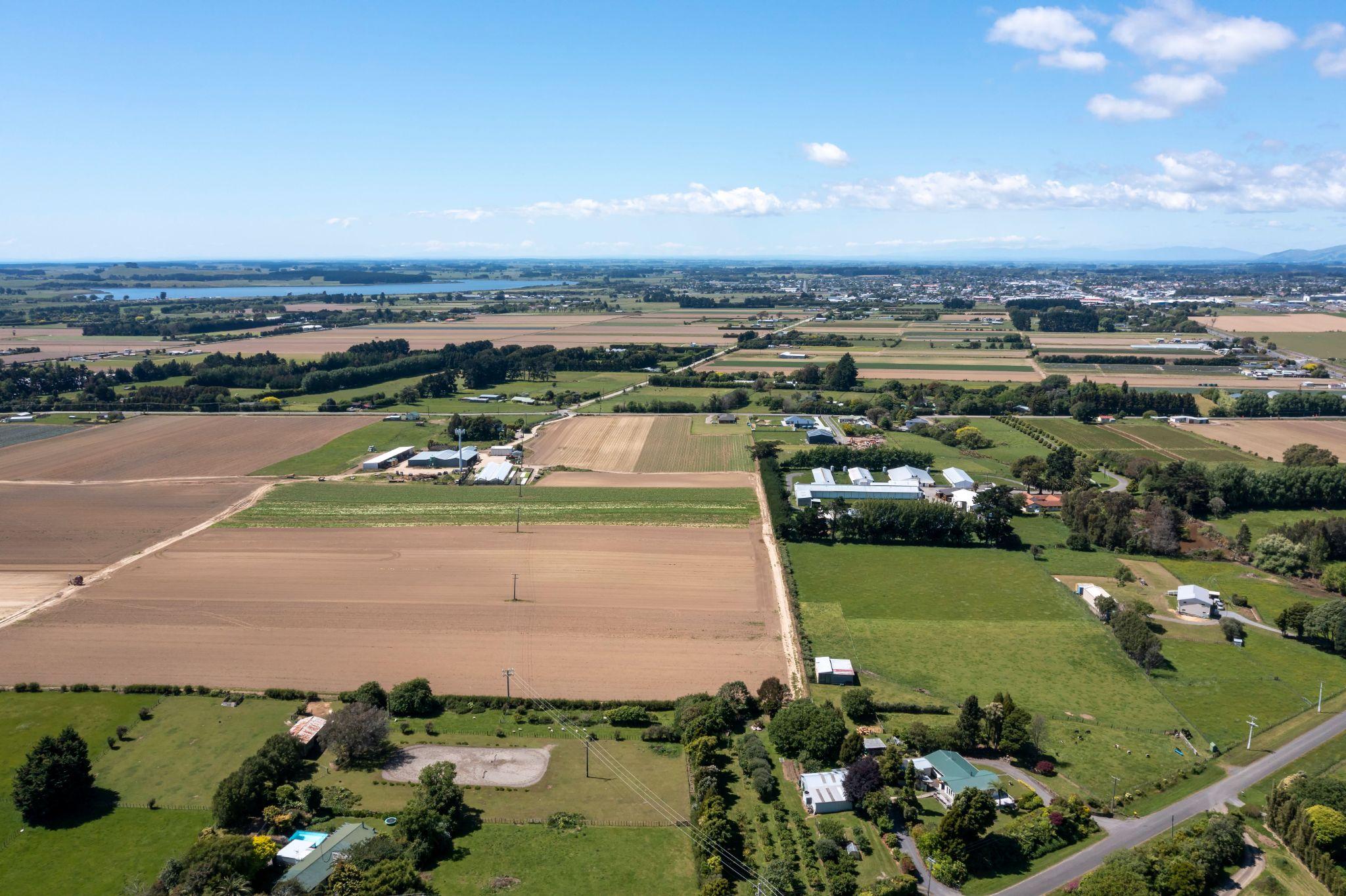
Investors often need to answer a different question: Can this site actually support the plan we have for it?
The purchase price alone does not answer that. Boundaries, access, easements, existing improvements, terrain, drainage, utilities, and other site conditions can affect usable land and future development options.
For some commercial transactions, an ALTA/NSPS Land Title Survey may be requested. For undeveloped land, a boundary or topographic survey may be more appropriate. Larger agricultural or recreational tracts may call for farm and ranch surveying.
The goal is not to order the largest or most detailed survey possible. It is to choose a survey scope that matches the due diligence question the investor is trying to answer.
Which Survey Service Fits Your Situation?
Different clients need different information, so there is no single survey that fits every property decision.
A buyer may need boundary and improvement information. A property owner planning a fence may mainly need the boundary located. An engineer may require topographic data, while a developer may need several survey services as a project moves from planning into construction.
Common services provided by Southpoint Geodetics include:
- Boundary and acreage surveys for property lines and larger tracts
- Topographic surveys for terrain, elevations, and selected site features
- ALTA/NSPS Land Title Surveys for qualifying commercial real estate needs
- Construction staking and layout for transferring design information to the site
- As-built, engineering, easement, and right-of-way surveys for specialized project needs
Before requesting a quote, explain what you are trying to accomplish. The property address, deed, legal description, previous survey, title information, and project plans can also help the surveying team determine the right scope.
When Should You Contact a Land Surveyor?
The best time is usually before another decision depends on uncertain property information.
Buyers should allow enough time to coordinate with the lender and title company. Builders and developers should involve surveying before assumptions about site conditions become part of the design. Property owners planning fences or permanent improvements should verify the relevant boundary information before construction begins.
Timing can vary with acreage, vegetation, site access, available records, monument conditions, property complexity, and the requested deliverables. Starting early gives the surveyor time to research the property and gives the client more room to address unexpected conditions.
How Southpoint Geodetics Helps Different Property Clients
Southpoint Geodetics, LLC works with homebuyers, sellers, current landowners, real estate professionals, builders, developers, investors, engineers, and other project participants throughout the Rio Grande Valley and South Texas.
Rather than treating every property question as the same assignment, SouthPoint looks at who will use the survey, what decision needs to be made, the available property records, and what information is needed from the field. That helps define a scope that fits the actual transaction or project instead of relying on a one-size-fits-all service.
Conclusion: The Right Survey Depends on the Decision

So, who needs professional land survey services in Texas? The answer extends well beyond homebuyers. Sellers may need updated property information, current owners may need boundary guidance before making improvements, builders and developers rely on survey data throughout a project, and investors use it during due diligence and planning.
What connects all of these situations is the need for reliable information before making a property decision that may be difficult or expensive to reverse.
You can view Southpoint Geodetics’ surveying services or contact Southpoint Geodetics to discuss the property, intended use, timeline, and survey information you may need.
Frequently Asked Questions
Who Usually Needs Professional Land Survey Services in Texas?
Homebuyers, sellers, current property owners, builders, developers, investors, engineers, lenders, title professionals, and real estate professionals may all rely on survey information depending on the property and decision involved.
Do I Need a Survey If I Already Own My Property?
Possibly. A survey may be useful before installing a fence, building near a boundary, dividing land, changing access, adding improvements, or addressing uncertainty about a property line.
Does Every Texas Home Purchase Require a New Survey?
No. Whether a new survey is needed can depend on the lender, title company, purchase contract, existing survey, and changes made to the property.
What Type of Survey Does a Builder or Developer Need?
It depends on the project stage. Boundary and topographic surveys may support planning, construction staking can help with field layout, and as-built surveys can document selected completed improvements.
Do Investors Need Land Surveys?
They may. Survey information can help investors evaluate boundaries, access, easements, site conditions, and development constraints before committing to a purchase or project.
How Do I Know Which Survey to Request?
Explain the property and the decision you are trying to make. Providing deeds, previous surveys, title information, and project plans can help the surveying team recommend an appropriate scope.