
A fence line, recorded deed, and long standing understanding between neighbors may all appear to describe the same property boundary. Sometimes they do not. That uncertainty can delay a purchase, complicate construction, create problems during a subdivision, or force a property owner to reconsider a planned improvement.
Getting a survey consultation early gives you a better idea of what needs to be researched, measured, and documented before you make decisions based on assumptions. At Southpoint Geodetics, LLC, we provide land survey services in South Texas for buyers, sellers, landowners, builders, developers, and real estate professionals who need reliable property information before moving forward.
When to schedule a land survey consultation
The best time to speak with a surveyor is before making a decision that depends on property lines, elevations, structures, or other site conditions. Common reasons include buying or selling property, planning construction, dividing land, investigating an encroachment, locating easements or utilities, preparing engineering plans, or documenting conditions after construction.
A consultation is also useful when what exists on the ground does not appear to match the records. A fence, for example, is not automatically a property boundary. Survey requirements can also vary by lender, title company, municipality, engineer, and project type, so discussing the property first can prevent you from ordering the wrong service.
What happens during the initial consultation

An initial consultation usually covers the property location, the reason for the survey, who will use the results, and any deadlines tied to closing, construction, or design. These details help the surveyor determine what the work needs to cover before fieldwork begins.
The intended use matters because a homeowner placing a fence does not need the same information as an engineer preparing drainage plans or a developer evaluating acreage. Local conditions such as rural access, older subdivisions, irrigation infrastructure, brush, and locked entrances may also affect how the work is planned.
Reviewing property documents and known concerns

Existing documents provide useful background. These may include the current deed, prior survey, title commitment, subdivision plat, easement documents, site plans, construction plans, and correspondence related to boundary or access concerns.
It also helps to explain what decision you are trying to make. Mention known issues such as missing monuments, a shared driveway, a fence near an apparent property line, drainage features, or improvements near an easement. Surveyors evaluate records, field evidence, and measurements, but they do not decide ownership disputes or provide legal advice. Title or ownership questions may require help from a Texas attorney or title professional.
Choosing the right type of survey

There is no single survey for every property question. A boundary survey is used to research and locate property boundaries, while a topographic survey maps elevations and physical features for planning, engineering, or construction.
Other projects may require an ALTA/NSPS Land Title Survey, construction staking, as built surveying, utility mapping, digital terrain modeling, tree location surveying, or farm and ranch surveying. Each service has a different purpose, so the consultation helps determine which one fits the property and project.
Clients can also review Southpoint’s survey services to learn more about surveying work used for real estate, construction, engineering, and land development.
Questions to ask during a land survey consultation
You do not need to know surveying terminology before speaking with a surveyor, but it helps to know what you need clarified. Useful questions include:
- What type of survey fits the property and intended use?
- Which documents should I provide?
- What will the final deliverables include?
- Could access conditions affect fieldwork?
- What may affect the estimated fee or schedule?
- Will additional surveying be needed later in the project?
These questions help set expectations early and can reveal missing information before it causes delays.
What affects survey cost and timing
Survey cost depends on more than acreage. Boundary complexity, terrain, vegetation, access, existing improvements, available records, travel, and required deliverables can all affect pricing. A small urban parcel with conflicting records may require more work than a larger tract with clear documentation.
Timing can also be affected by research, field conditions, drafting, professional review, and site access. Clients can reduce avoidable delays by providing complete records, reliable contact information, access instructions, and any deadlines tied to closing, permitting, engineering, or construction.
How to prepare for your consultation
Before speaking with a surveyor, gather the records and property information you already have. Helpful items include:
- Current deed
- Previous surveys
- Title commitment or title documents
- Subdivision plats
- Easement documents
- Site or construction plans
- Boundary or access correspondence
- Gate codes or property access instructions
You should also mention tenants, livestock, dogs, heavy vegetation, locked entrances, or areas that require permission to enter. Providing this information early gives the surveyor a clearer picture of the property and the work involved.
Choosing a qualified South Texas surveyor
In Texas, professional land surveying services must be performed under the authority of a Registered Professional Land Surveyor when required by law. Registration can be verified through the Texas Board of Professional Engineers and Land Surveyors.
Experience with the property type also matters. A residential lot in Harlingen can present different conditions than acreage outside Brownsville or a ranch farther inland. South Texas surveying may involve older plats, resacas, irrigation districts, rural access, agricultural improvements, and developing areas.
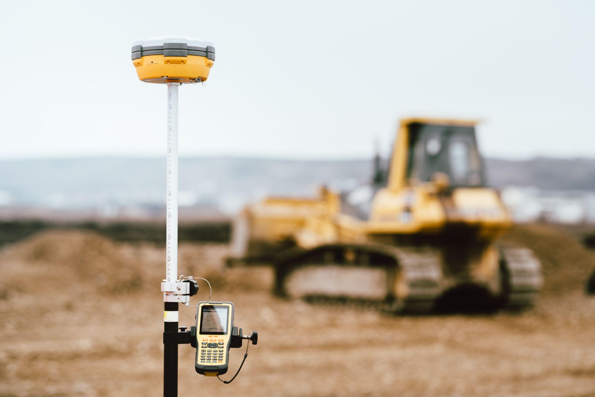
Modern equipment such as GNSS receivers, robotic total stations, and digital mapping software can support efficient data collection, but professional analysis is still required. Before authorizing the work, review the proposal for the requested service, deliverables, fee structure, estimated schedule, and client responsibilities.
Property owners can also read more about Southpoint Geodetics land surveying services and the company’s work across the Rio Grande Valley and South Texas.
Conclusion: Start with the right property information

A land survey consultation gives the client and surveyor a chance to define the project before research and fieldwork begin. This can reduce confusion about cost, timing, access, deliverables, and what the finished survey is expected to answer.
If you are planning a purchase, construction project, subdivision, development, or property improvement, contact Southpoint Geodetics to discuss your property documents, project goals, timeline, and land survey services in South Texas that fit your needs.
What is the best time to schedule a land survey consultation in South Texas?
Schedule the consultation before making decisions that depend on property boundaries, elevations, or site conditions. This may include buying or selling property, building near a boundary, dividing land, or beginning design work.
What types of land surveys are available for South Texas properties?
Common services include boundary surveys, topographic surveys, ALTA/NSPS Land Title Surveys, construction staking, as built surveys, utility mapping, and farm or ranch surveys. The right service depends on the property and intended use.
How does Southpoint Geodetics approach South Texas property conditions?
Survey work may need to account for rural acreage, older subdivisions, irrigation infrastructure, brush, limited access, resacas, and ongoing development. These conditions can affect research, fieldwork, timing, and deliverables.
What documents should I prepare before a land survey consultation in South Texas?
Useful records include the current deed, prior surveys, title commitment, subdivision plats, easement documents, site plans, construction plans, and correspondence related to boundary or access concerns.
Why should I hire a Registered Professional Land Surveyor in Texas?
Texas regulates professional land surveying. A Registered Professional Land Surveyor must meet state registration requirements and is responsible for professional surveying work performed under their authority.
How much do land survey services in South Texas cost?
Pricing depends on the work required and property conditions. Boundary complexity, available records, terrain, vegetation, access, improvements, travel, and required deliverables can affect the fee.