A fence, driveway, or row of trees can look like a property line, but that does not necessarily mean it is one.
If you’re searching for boundary survey services near me, the work involves more than taking measurements. A surveyor has to review property records, examine evidence in the field, and evaluate how that information fits together.
Southpoint Geodetics, LLC serves property owners, buyers, sellers, builders, and other clients in Brownsville, the Rio Grande Valley, and other parts of South Texas. We review available records and compare them with what is actually on the ground to determine the location of a property’s boundaries.
Knowing where those boundaries are can matter before you buy land, install a fence, start construction, or deal with a question involving a neighboring property.
What A Boundary Survey Shows
A boundary survey retraces or establishes the limits of a property using its legal description, recorded documents, field evidence, and Texas surveying standards. The surveyor looks for property corners and boundary monuments, takes measurements, and records visible features near the property line, such as fences, buildings, driveways, and walls.
An existing fence is not automatically the boundary. Fences can be moved, replaced, or installed somewhere other than the legal property line. The same applies to a pipe, stake, or marker found in the ground. A surveyor has to compare those physical features with deeds, plats, adjoining property records, and other available evidence.
Texas surveying standards require surveyors working on boundary lines to review relevant land-title records, consider adjoining parcels, and connect boundaries to physical monuments or other appropriate evidence. Property owners can review the official Texas surveying laws and rules for more information.
Even a small boundary discrepancy can matter when you’re planning a fence, driveway, building addition, or land purchase.
If you’re unsure which type of survey fits your project, explore Southpoint Geodetics’ surveying services to learn more about the available options.
When You May Need A Boundary Survey
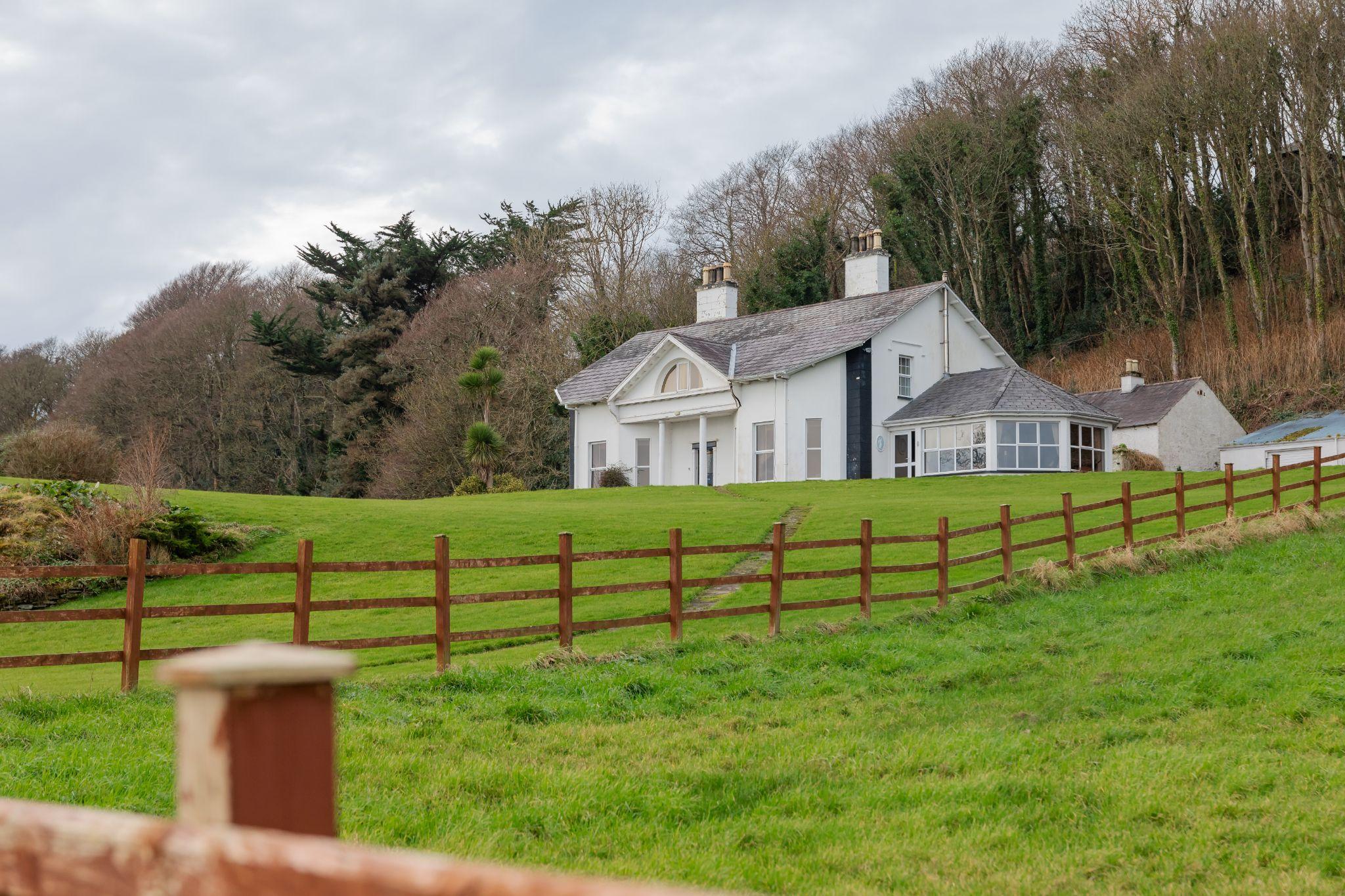
People commonly request boundary surveys when a property decision depends on knowing where the lines are.
A buyer may want a survey before closing to better understand the parcel being purchased. A seller may order one when questions about the property lines come up before a sale.
A boundary survey may also be useful when you are:
- Installing or replacing a fence
- Building a house, garage, driveway, or wall
- Dividing or improving a tract of land
- Dealing with unclear property corners
- Reviewing access, easements, or possible encroachments
- Planning construction close to a property line
Builders and property owners also use boundary information when preparing site plans and reviewing setbacks. The surveyor identifies the property boundaries, while zoning rules, subdivision restrictions, municipal requirements, and other governing documents determine where a structure can legally be built.
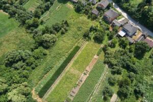
Properties in Brownsville and across the Rio Grande Valley vary widely. Some are small subdivision lots, while others include acreage, drainage features, irrigation systems, access roads, or older legal descriptions.
If you’re comparing boundary survey services near me for a purchase, fence, or construction project, giving the surveyor detailed property information at the start makes it easier to determine what research and fieldwork the job requires.
For more guidance on different surveying needs, browse Southpoint Geodetics’ land surveying articles.
What Happens During A Boundary Survey
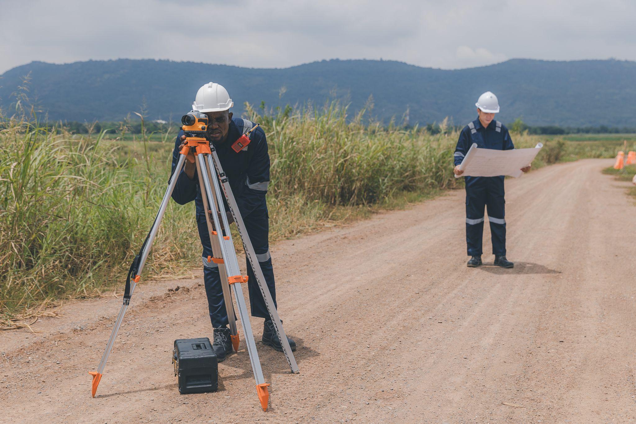
Boundary surveying usually involves both records research and fieldwork. One does not replace the other. The office research helps the surveyor understand how the property was described and recorded. Fieldwork shows what evidence currently exists on the ground.
The surveyor typically starts by reviewing the property’s legal description and other available records. These may include deeds, plats, earlier surveys, easement documents, subdivision records, and information affecting adjoining properties. Sometimes those records do not match perfectly. Distances may conflict, descriptions may be old, or a monument referenced in a previous document may no longer exist.
In those situations, the surveyor evaluates the available records together with the field evidence rather than relying on one measurement or document alone. Property owners can help by providing deeds, title documents, prior surveys, gate codes, and information about known access or boundary issues.
Fieldwork, Monuments, And Final Documents

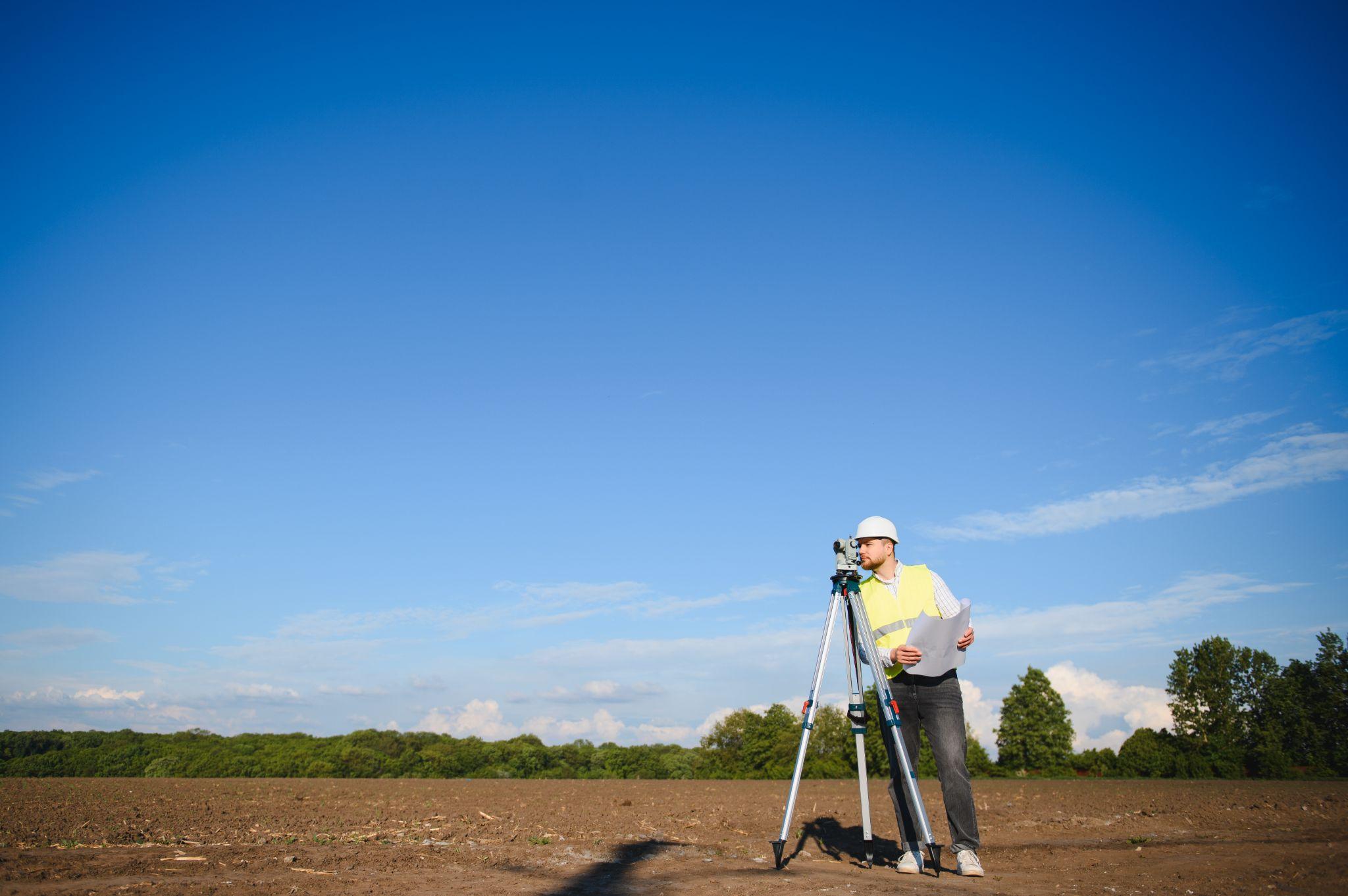
Once fieldwork begins, the survey crew searches for existing monuments and other evidence related to the boundary.
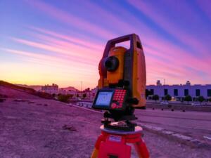
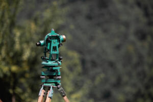
Measurements are taken, and relevant improvements near the property line are documented. Depending on the property and the work required, crews may use conventional survey instruments, GNSS equipment, or both.
The surveyor may find existing monuments or set new ones where appropriate based on the available evidence and Texas surveying standards. A fence or structure does not automatically change a recorded boundary just because it sits somewhere different from the record information.
When evidence conflicts, the surveyor evaluates the records, measurements, monumentation, and field conditions before reaching a professional conclusion. After fieldwork is complete, the measurements are compared with the record information. The final documents depend on the services requested.
Many boundary projects include a signed and sealed survey drawing or plat showing property lines, dimensions, monuments, and other relevant site information.
Boundary surveying in Texas must be performed under the responsible charge of a Registered Professional Land Surveyor, or RPLS. Property owners can learn more through the Texas Board of Professional Engineers and Land Surveyors.
What Affects Boundary Survey Cost And Timing?
Boundary surveys do not all require the same amount of work.
A subdivision lot with clear records and easy-to-find corners may be relatively straightforward. A large rural tract with missing monuments, thick vegetation, difficult access, or conflicting descriptions can require more research and field time.
Property size is only one part of the estimate. Access, terrain, available deeds and plats, existing monuments, adjoining-property research, travel time, and requested documents can also affect the amount of work involved.
Weather and site conditions matter too. Heavy rain, standing water, locked gates, and thick brush can slow fieldwork. South Texas properties may also include resacas, drainage areas, irrigation features, access roads, or older tracts with irregular descriptions that require additional investigation.
When requesting a quote, provide the property address, legal description, approximate acreage, reason for the survey, preferred timeline, and any known access concerns.
How To Choose A Boundary Surveyor In Texas
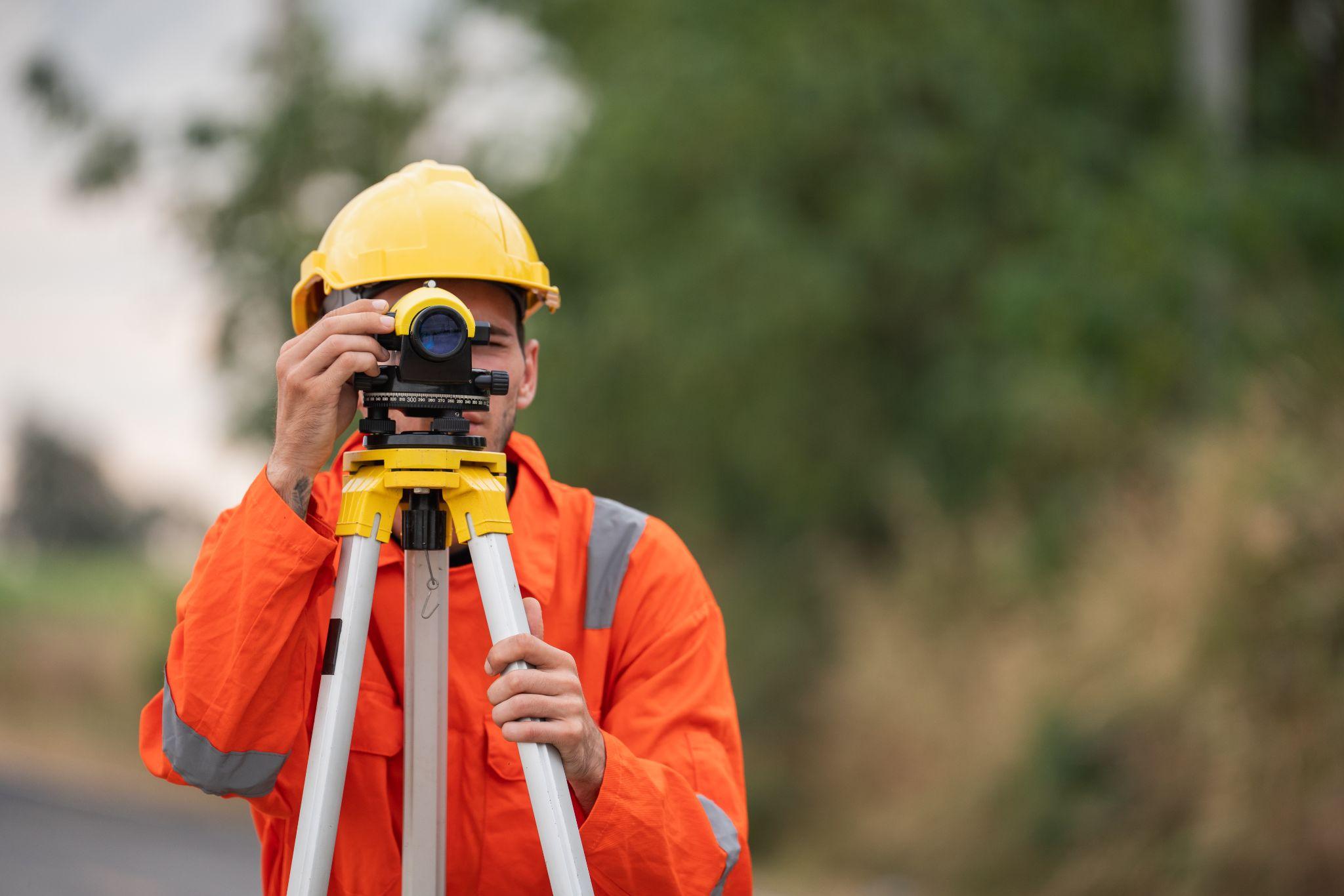
If you’re comparing boundary survey services, start by checking who will be responsible for the surveying work. Professional land surveying is regulated in Texas, and boundary work should be performed under the responsible charge of a Texas Registered Professional Land Surveyor.
It also helps to choose someone familiar with the type of property you’re dealing with. A subdivision lot in Brownsville can present different issues from rural acreage elsewhere in the Rio Grande Valley.
Before hiring a surveyor, ask what research and fieldwork are included, what final documents you will receive, and whether existing corners will be identified or new monuments set when appropriate.
You should also ask whether access or site conditions could affect the price or schedule and who will sign the final survey.
Price matters, but two quotes may cover very different scopes of work. Research, fieldwork, monumentation, documentation, and professional responsibility should all be considered.
If you need help determining what type of survey fits your property, contact Southpoint Geodetics to discuss your project and request a quote.
What Does A Boundary Survey Include?
A boundary survey uses legal descriptions, records, physical evidence, and field measurements to establish or retrace property lines and corners. Accuracy matters because errors affect where you can build, whether you have access, and how your land relates to neighboring properties. Southpoint Geodetics combines records research and field investigation to give you clear survey documentation.
When Should I Get A Boundary Survey?
Get one when buying or selling property, before installing fences or building structures, when dividing land, when checking access or easements, or when property corners are unclear. Reliable boundary information early on helps you plan with confidence.
How Do I Find Reliable Boundary Survey Services Near Me?
Look for work done under a Texas Registered Professional Land Surveyor and verify current registration with the Texas Board of Professional Engineers and Land Surveyors. Ask each provider about records research, fieldwork, corner marking, final deliverables, local experience, and who takes professional responsibility for the survey.
What Affects The Price Of A Boundary Survey?
Cost and timing depend on parcel size, terrain, vegetation, available records, monument conditions, site access, required deliverables, and project complexity. Give Southpoint Geodetics the legal description, acreage, what you plan to do, access details, and your timeline. That helps us define a useful scope.
Can A Boundary Survey Help With Setbacks?
Yes. A boundary survey identifies property lines and corners that builders and landowners use when preparing site plans and evaluating proposed improvements. Municipal authorities, subdivision restrictions, and other governing documents set the applicable setback or construction requirements.
Can I Use My Fence As The Property Line?
Fences get moved or built for convenience, and a marker in the ground isn’t automatically a valid property corner. A professional surveyor must check deeds, plats, adjoining descriptions, monuments, occupation evidence, and field measurements before determining a boundary.