

Where exactly does your property begin and end in Rio Grande City, TX? Professional land survey services in Rio Grande City and throughout Starr County provide precise, legally reliable measurements—helping you avoid boundary disputes and make confident decisions.
Whether you’re buying, selling, or building near the Rio Grande or anywhere in the Rio Grande Valley, a professional land survey ensures clear, accurate boundary documentation you can trust. At Southpoint Geodetics, LLC, we proudly serve Rio Grande City, Roma, Escobares, and surrounding Starr County communities with dependable land surveying services that keep your project on track and protect your investment.

Why Do You Need a Professional Land Survey in Rio Grande City, TX?
A professional land survey clearly defines your property’s legal boundaries—eliminating guesswork and preventing costly disputes before they start. In Rio Grande City, where parcels often have long histories and older legal descriptions, that level of accuracy is especially important.
Without a current survey, it is easy to assume where a fence, driveway, or new structure should go. Those assumptions can lead to encroachments, permit delays, or disagreements with neighbors. A licensed survey replaces uncertainty with documented, verifiable facts.
At Southpoint Geodetics, LLC, we combine advanced GPS technology with conventional surveying methods to deliver dependable results. For property owners across South Texas, that means fewer surprises during a transaction and a clear record of what you actually own. If you want the reassurance that comes from working with an experienced local team, our trusted land survey service providers in South Texas are here to help you make confident decisions.
When You Need a Survey: Buying, Selling, and Building
You need a land survey when property boundaries or ownership details must be confirmed—most commonly before buying, selling, or building.
You typically need a land survey any time property changes hands or when new construction is planned. In many transactions, a lender, title company, or real estate agent will require a current survey before closing.
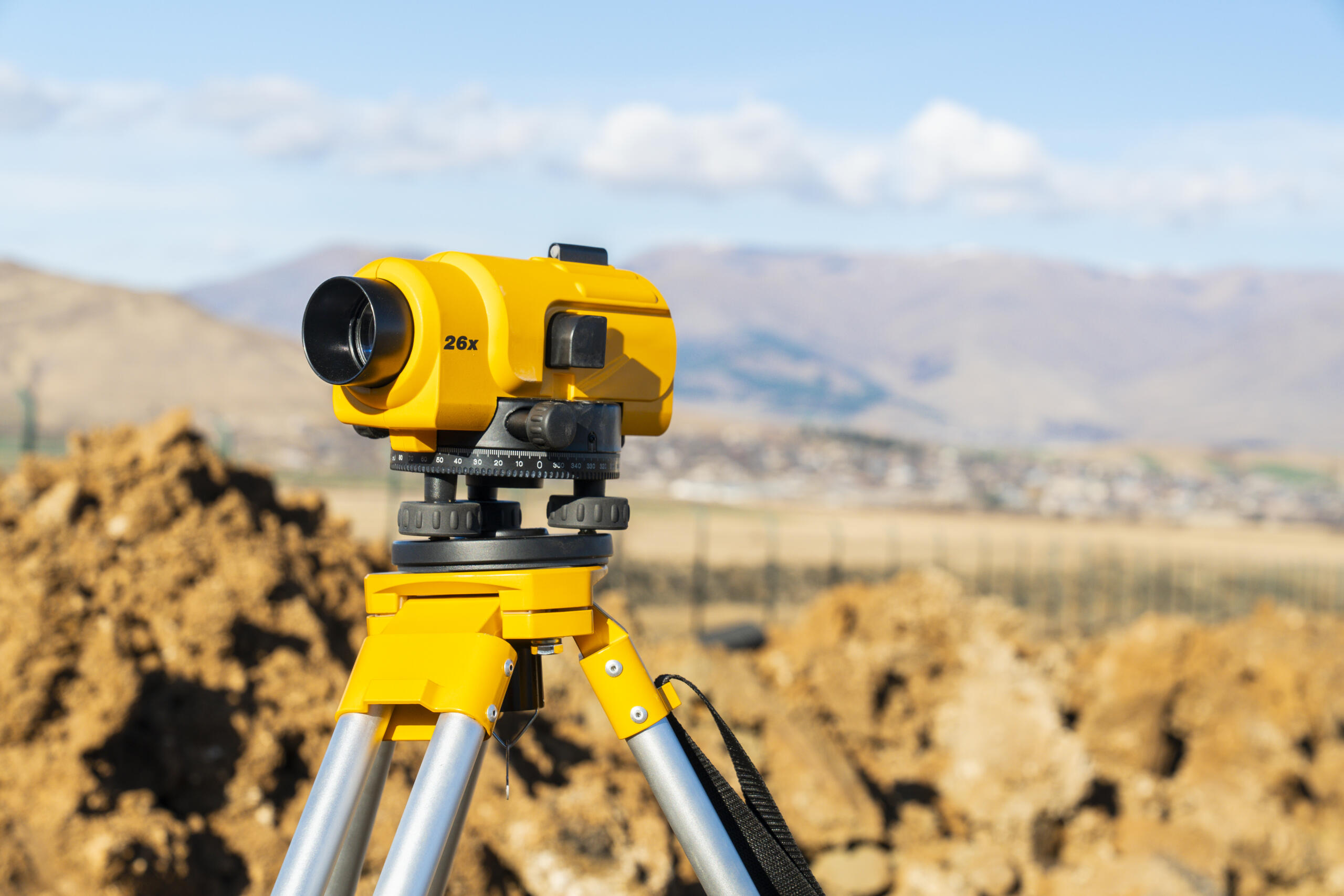
Here are the most common moments a survey becomes necessary:
-
Buying land or a home: confirm boundaries and identify encroachments before you commit
-
Selling property: provide clear documentation that reassures buyers and speeds closing
-
Building or adding on: verify setbacks and avoid placing structures over a line
-
Resolving a boundary question: settle uncertainty with a licensed, documented answer
Getting a survey early in the process saves time. Waiting until the final days before closing can create delays that hold up an entire deal. If you are weighing land near Rio Grande City for purchase or development, a survey gives you the facts you need to negotiate and plan with confidence. You can also explore the full range of services we offer to see how each type fits your situation.
What to Expect: Cost, Timing, and the Survey Process
Most residential land surveys are completed within a few days to a couple of weeks, and costs vary based on property size, terrain, and survey type. Simple boundary surveys are faster and more affordable than large ranch or complex commercial surveys.
Here is how the process generally works:
-
Research: we review your deed, recorded legal description, and related records
-
Fieldwork: our crew measures the property using GPS and conventional equipment, locating corners and features
-
Analysis: we reconcile field data with the legal description to establish accurate boundaries
-
Deliverables: you receive a survey map and documentation you can use for closing, permitting, or planning
Properties with dense brush, difficult access, or missing monuments may take longer. Because we serve the Rio Grande Valley directly from South Texas, we understand local terrain and land records, which helps us work efficiently. When you are ready for a specific estimate, the best step is to reach out to our team with the details of your parcel.
How to Choose a Trusted Local Surveyor for Professional Land Survey Services in Rio Grande City

Start by choosing a Texas-licensed surveyor with proven local experience and clear communication—this is the most important step. In Texas, boundary and title surveys must be completed by a Registered Professional Land Surveyor, so verifying credentials comes first.
Local knowledge also plays a major role. A surveyor familiar with Starr County records and Rio Grande Valley terrain can spot potential issues early, saving time and cost. Be sure to ask about turnaround time, communication practices, and the technology they use.
Southpoint Geodetics, LLC is a locally owned company committed to accurate surveys and dependable service across South Texas. Property owners in nearby communities rely on our professional land survey services in Corpus Christi, TX and our land survey services in Brownsville, TX for the same reason: clear answers and careful documentation.
You now have a solid understanding of what professional land survey services in Rio Grande City, TX involve, when you need one, and how to choose the right team. When you are ready to take the next step, browse our blog for related topics or contact us to discuss your property and what your project requires.
What does a professional land survey do, and why do you need one in Rio Grande City, TX?
A professional land survey establishes the exact legal boundaries of your property using recorded descriptions, field measurements, and physical markers. It prevents boundary disputes, encroachments, and permit delays—especially important in Rio Grande City, TX, where older legal descriptions are common or when new structures are planned.
What types of land surveys are available for residential properties?
Boundary and residential surveys are the most common types available for homeowners. Boundary surveys identify precise corners and property lines, while residential surveys show your lot’s layout, physical features, and potential encroachments. Both are ideal when buying, selling, or planning improvements like fences or additions.
When is a land survey required?
You typically need a land survey when property changes hands or new construction is planned. Lenders, title companies, and real estate agents often require a current survey before closing. Getting one early helps avoid delays that could hold up the entire transaction.
How much does a professional land survey cost?
Survey costs vary depending on property size, terrain, and the type of survey required. A simple residential boundary survey will cost less than surveying a large ranch or commercial site. For an accurate estimate, contact Southpoint Geodetics, LLC at (956) 368-5074 for pricing tailored to your parcel.
What equipment do land surveyors use to ensure accuracy?
Southpoint Geodetics uses advanced GPS technology combined with conventional surveying techniques to deliver highly accurate results. As a locally owned company serving South Texas, we understand Rio Grande Valley terrain and land records, allowing us to work efficiently and anticipate local challenges.
What qualifications should you look for in a land surveyor?
Choose a surveyor licensed in Texas with proven experience in local land records. Boundary and title surveys must be completed by a Registered Professional Land Surveyor. Local expertise is essential, as familiarity with Starr County records helps identify and resolve issues that out-of-area firms may overlook.