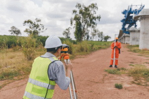
Finding trusted land survey service providers South Texas property owners can rely on starts with knowing what to look for before signing an agreement. A survey is one of the most important steps in buying, selling, or building on a property, yet it is often overlooked until late in the process. Addressing it early can help reduce the risk of boundary disputes, permit delays, and unexpected issues that may affect a project or closing.
Southpoint Geodetics, LLC has spent years assisting property owners across South Texas in better understanding their land and making informed decisions. This guide explains what separates a dependable surveyor from the rest — beginning with credentials and local expertise that support your property rights from day one.

Why You Need a Trusted Land Surveyor in South Texas
A land survey is more than a formality. It serves as a documented representation of where your property begins and ends, and it can carry legal significance. If that record is inaccurate or incomplete, issues may surface at critical moments — often near closing or during construction.
When you work with trusted land survey service providers South Texas offers, you receive measurements and documentation intended to support informed decision-making when questions arise. Common issues an accurate survey may help identify early include:
-
Encroachments — fences or structures crossing property lines that can delay a sale or lead to disputes
-
Permit misalignment — building plans that may not meet county requirements before construction begins
-
Easement conflicts — restrictions that are not always obvious without proper review
-
Boundary overlaps — neighboring parcel discrepancies that can complicate development
Addressing these issues later can be costly and time-consuming. Starting with a reliable survey helps establish a clearer foundation for your project, both physically and legally.

Regional knowledge also plays an important role. South Texas land presents unique considerations, and a surveyor familiar with the area may better recognize:
-
Older parcels with imprecise or overlapping legal descriptions
-
Easement histories that may be inconsistently documented
-
Terrain and elevation factors that influence drainage, stormwater management, and construction planning
This local understanding can influence how survey data is interpreted and applied. To learn more about how regional experience impacts results, read why smart South Texas buyers never skip a survey.
Types of Land Surveys You May Need
Not every project requires the same type of survey. The right option depends on your goals — whether purchasing property, resolving a boundary concern, or preparing for construction. Selecting the appropriate survey early can help avoid unnecessary costs or delays.
Many property owners are surprised by the range of available survey types. From boundary surveys to topographic mapping to ALTA/NSPS Land Title Surveys, each serves a specific purpose. Understanding these distinctions before contacting trusted land survey service providers South Texas offers can help you ask more targeted questions and receive a more accurate scope of work. You can explore the full range of services we offer to see how each option may apply to your project.
Boundary and Construction Surveys Explained
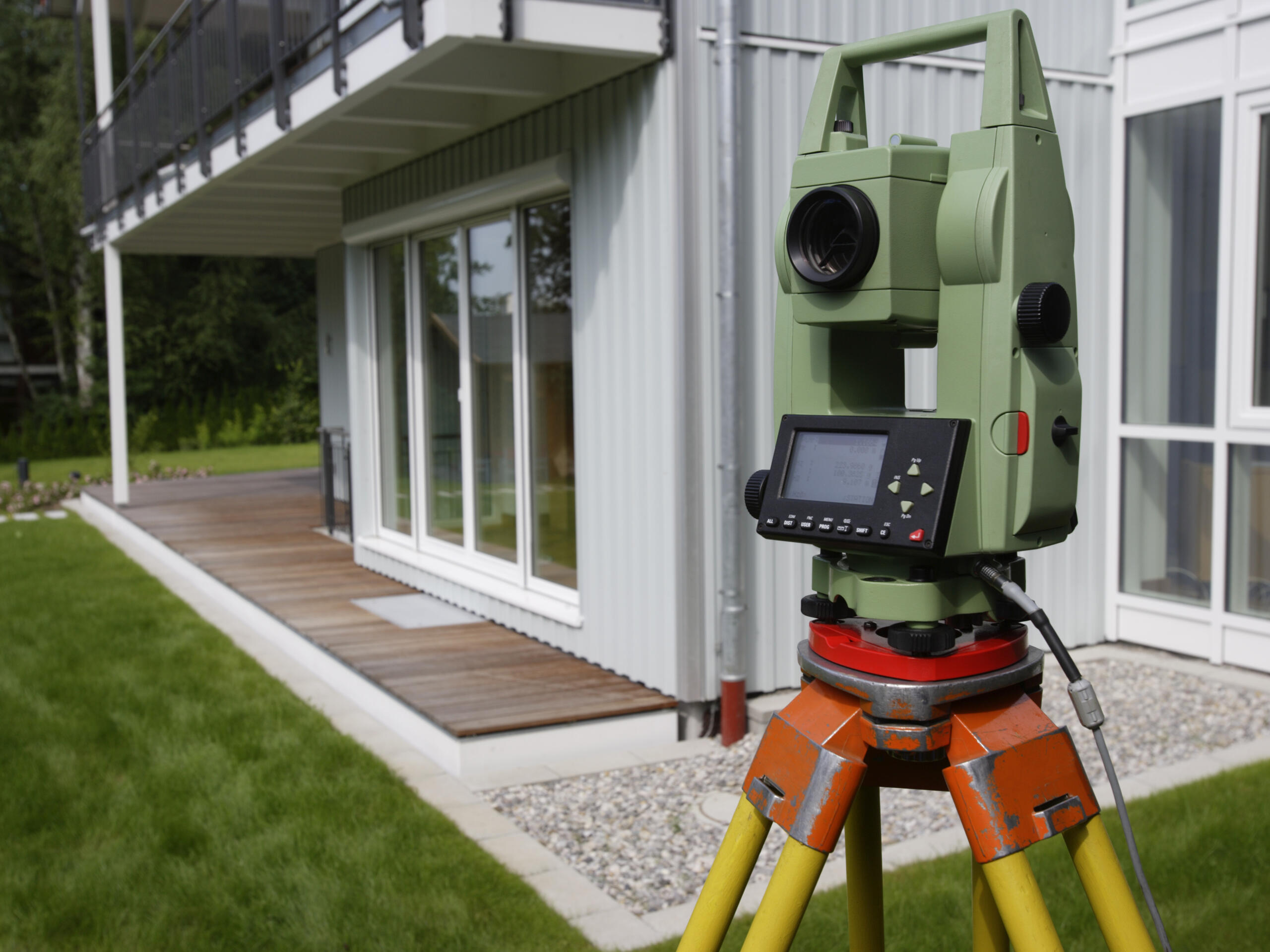
A boundary survey establishes the limits of a parcel using its legal description, identifying or setting markers at corners and along property lines. This is one of the most common surveys for homeowners and landowners seeking clarity about property boundaries. It is often used in resolving disputes, supporting permit applications, and facilitating real estate transactions where title clarity is important.
Construction surveys, also known as construction staking, mark the intended placement of structures, utilities, and grading based on engineered plans. Builders and developers use this information to help align projects with approved designs and permit requirements. Without this step, even well-prepared plans may be more difficult to execute accurately in the field.
Topographic surveys map physical features and elevation across a site, providing data used by engineers and architects for drainage and development planning. In South Texas, where subtle elevation changes can influence water flow, this information can be especially useful. For additional context, see property clarity in real estate and construction.
For commercial transactions and lender-related requirements, ALTA/NSPS Land Title Surveys offer a comprehensive level of detail. These surveys follow national standards and document boundaries, improvements, easements, utilities, and potential encroachments. They are commonly used by title companies, lenders, and legal professionals when a detailed property overview is needed. Easement surveys may also be used to document access routes, utility corridors, or shared-use areas.

Ready to Move Forward with Confidence?
Choosing a qualified surveyor is an important step before a purchase, sale, or construction project. Accurate documentation can support your investment, help keep timelines on track, and reduce the likelihood of boundary or title-related complications. Working with a firm familiar with South Texas land means partnering with professionals who understand the region’s conditions and considerations.
Southpoint Geodetics, LLC brings technical experience and regional knowledge to each project. Whether you need a boundary survey, construction staking, or an ALTA survey for a commercial transaction, their team can help you evaluate the right approach for your situation. Get in touch with our team to discuss your project and determine which survey type best fits your needs.
What is a trusted land survey service provider and why do I need one in South Texas?
Trusted land survey service providers South Texas property owners work with typically offer measurements and documentation intended to support property boundary clarity and legal understanding. In South Texas, local experience can be especially valuable due to regional terrain, older parcel descriptions, and drainage considerations that may affect development.
What types of land surveys are available for different projects?
Common types include boundary surveys, construction surveys, topographic surveys, ALTA/NSPS surveys, and easement surveys. Each serves a different purpose depending on your project goals. Consulting with a licensed surveyor can help determine the most appropriate option.
How can an accurate boundary survey prevent costly problems?
A boundary survey can help identify potential issues early, such as encroachments or discrepancies, allowing them to be addressed before they escalate. While not eliminating all risks, it provides clearer information that can support decision-making.
When do I need a boundary survey versus a construction survey?
A boundary survey is typically used to confirm property limits, while a construction survey is used during building to guide placement of structures. Some projects may require both.
What equipment and techniques do professional land surveyors use?
Surveyors often use GPS technology alongside traditional methods to collect and verify measurements. The effectiveness of these tools depends on the surveyor’s training, experience, and understanding of local conditions.
Why is local expertise important when hiring a land surveyor in South Texas?
Local expertise can help identify region-specific issues such as unclear historical records, terrain challenges, and development patterns. Surveyors familiar with the area may be better equipped to interpret data within the appropriate context.