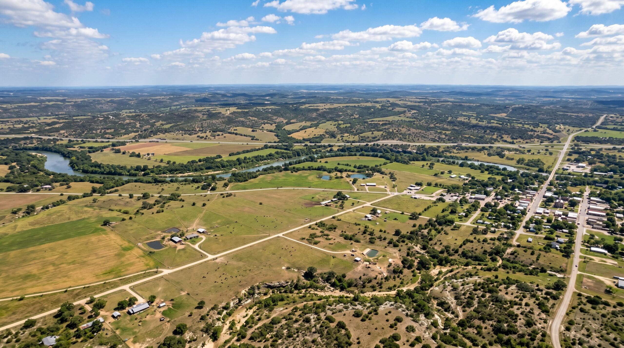
If you have recently typed “easement survey near me” into Google, chances are you are facing a pressing property question that demands a clear, defensible answer. Perhaps a title company in San Antonio flagged an undocumented access road, a lender in the Rio Grande Valley wants utility rights confirmed before closing, or a neighbor in Corpus Christi is disputing where your driveway crosses their land.
At Southpoint Geodetics, LLC, we are a Texas-licensed land surveying firm serving South Texas communities including McAllen, Brownsville, Laredo, Harlingen, and the surrounding counties of Hidalgo, Cameron, Webb, and Nueces. Our team helps landowners, builders, title companies, and real estate professionals pinpoint exactly where easements fall on the ground, using state-approved monuments and county-recorded plats.
This 2026 guide explains what an easement survey is, when South Texas property owners need one, and how to find dependable local help close to home.
What Is an Easement Survey and When Do You Need One?
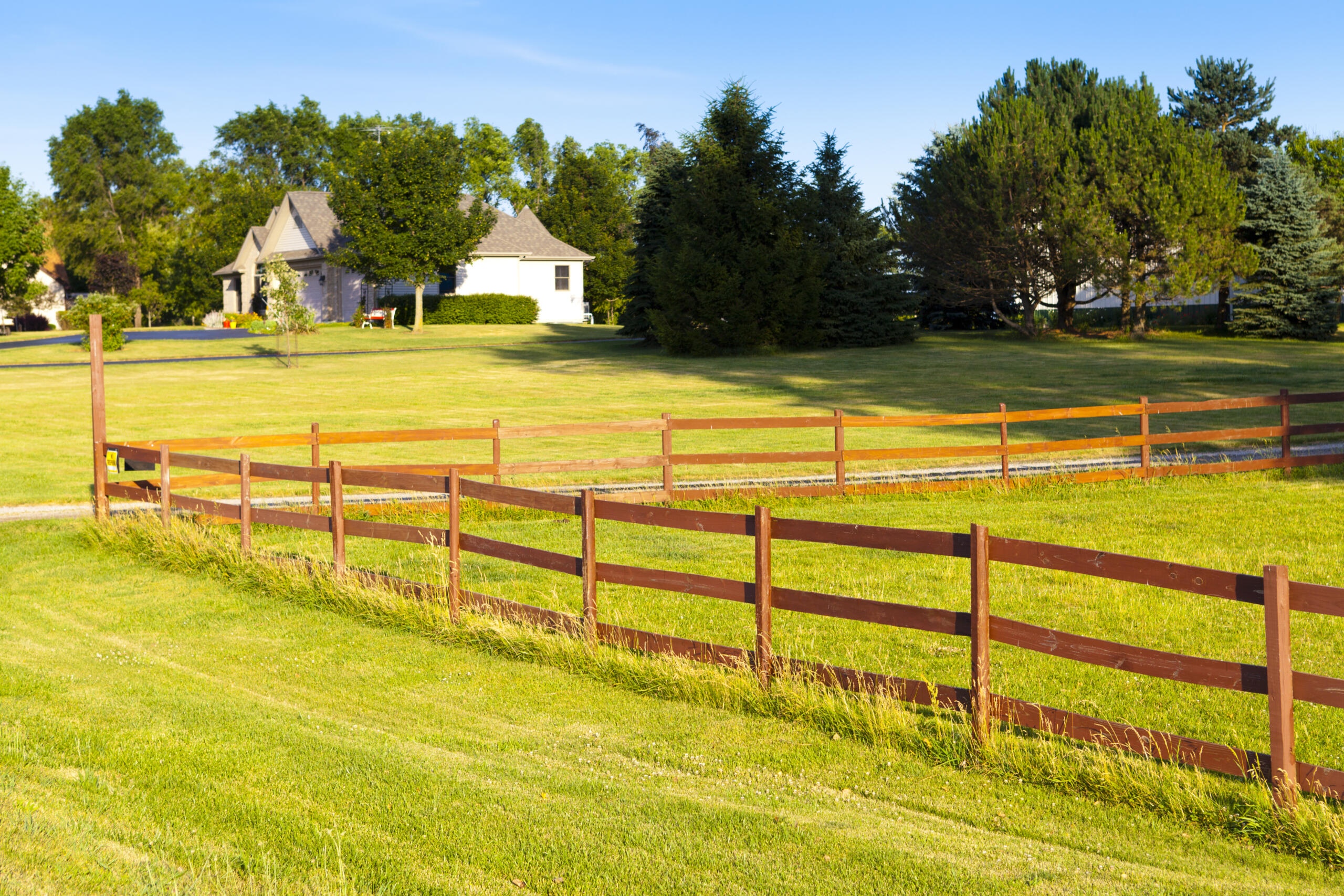
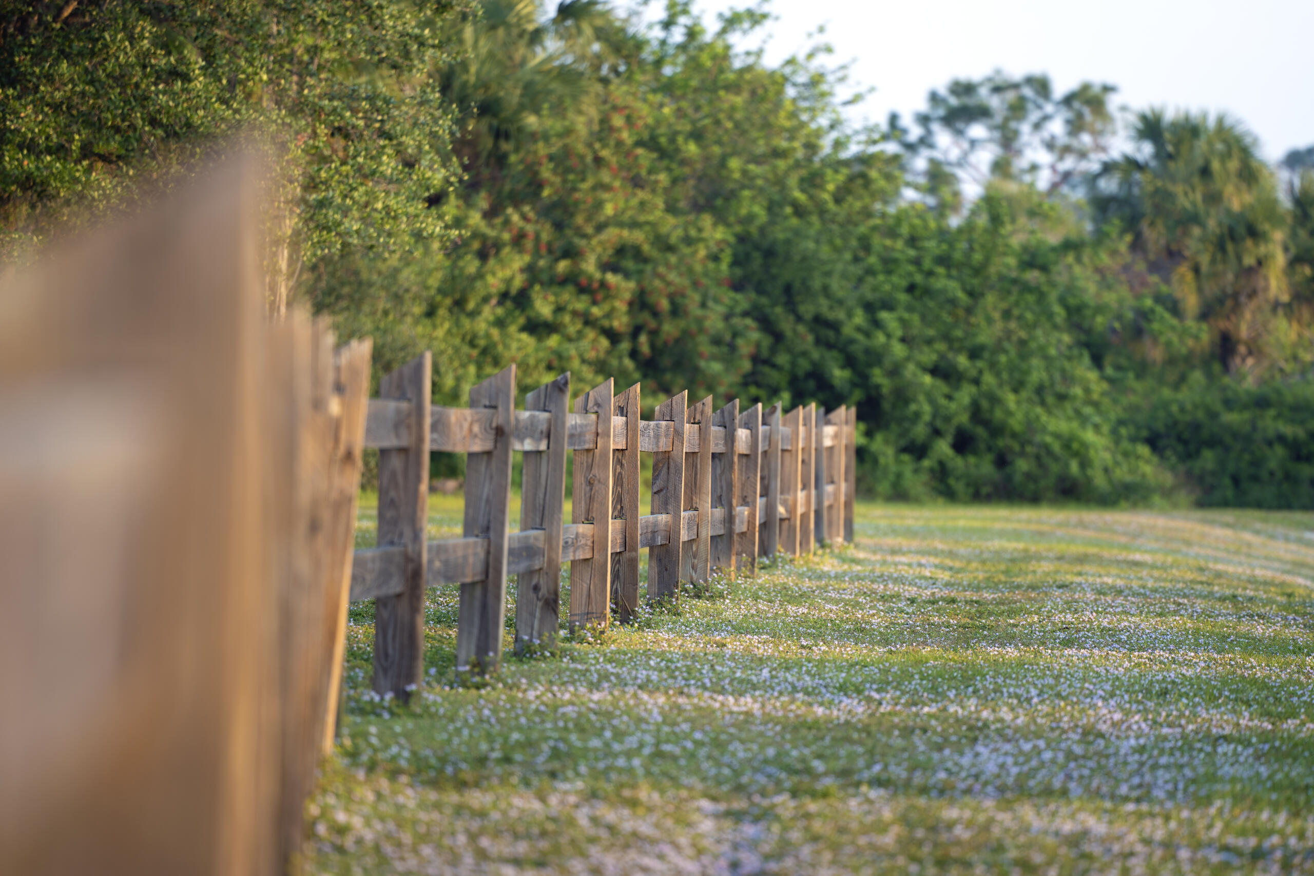
An easement is the right to use part of someone else’s property for a specific purpose, such as a driveway, a utility line, or stormwater drainage. An easement survey locates, defines, and documents those rights so everyone knows exactly where they fall on the ground.
In Texas, easements can arise through written instruments, plat dedications, implication, prescription, or estoppel under state law. That means not every easement shows up in a basic title search or a quick site visit — some are established through long-term use or conduct, with no recorded document to signal their existence. An easement survey resolves that uncertainty by comparing recorded documents against actual field conditions, confirming where the easement sits and whether any conflicts exist before a project moves forward.
Common Situations That Require an Easement Survey
Most easement surveys are tied to a real decision someone needs to make. You may need one when:
-
A property changes ownership and existing easements must be verified before closing
-
A lender or title company requests easement location confirmation as part of due diligence
-
A development project introduces structures, grading, or utilities near an existing easement
-
A new easement is being granted or relocated and needs a metes and bounds description and plat prepared by a licensed surveyor
If any of these sound familiar, an easement survey gives you the documentation to move ahead with confidence.
How a Local Easement Survey Protects Your Property Rights
An easement grants specific rights to use a portion of another party’s land. Those rights are only as reliable as the documentation that defines them. Vague or unverified easement locations create uncertainty for buyers, lenders, and developers, and they can lead to disputes that delay a sale or halt construction entirely.
A local surveyor brings something a distant firm cannot. We understand South Texas land and development realities, from utility corridors near the Rio Grande Valley to access roads on rural acreage. That local knowledge helps us read recorded calls against what we actually find in the field.
When we map easement limits in relation to your property lines, improvements, and adjacent features, we also flag encroachments or conflicts early. Catching a fence sitting inside a utility easement before closing is far easier than untangling it after. Clear documentation protects your property rights and keeps small surprises from becoming expensive ones.
What to Expect During the Survey Process

While scope varies by project type and the number of easements involved, most easement surveys follow a similar path. Understanding the steps helps you know what you are paying for and why each part matters.
-
Document review. We examine recorded easement instruments, deeds, and plats to establish the legal basis for each easement.
-
Field location. Our crew locates easement boundaries on the ground using recorded calls and physical evidence at the site.
-
Mapping. We map easement limits in relation to property lines, improvements, and nearby features, identifying any encroachments or conflicts.
-
Staking. When needed, we stake easement boundaries for construction, fencing, or development reference.
-
Descriptions and deliverables. For new or relocated easements, we prepare metes and bounds descriptions and plats ready for use by title companies, legal counsel, engineers, and regulatory agencies.
Our team works through the recorded history and field conditions for each easement to produce deliverables that accurately reflect what exists and what is legally established.
How Much Does an Easement Survey Cost and How Long Does It Take?
Cost and timing are usually the first two questions we hear, and the honest answer is that both depend on your specific property. An easement survey on a single residential lot with one clearly recorded utility easement is a different job than a commercial tract crossed by drainage, access, and pipeline easements.
Several factors influence the price and schedule:
-
The number and type of easements involved
-
The size and shape of the parcel
-
How clear or conflicting the recorded documents are
-
Field conditions, vegetation, and access to the site
-
Whether new metes and bounds descriptions or plats are required
Because every situation differs, the most reliable way to get accurate numbers is a quote based on your actual property. One thing we always recommend is starting early. Giving the process time lets us identify boundary conflicts and locate existing easements before they affect your closing date or construction schedule.
How to Choose the Right Easement Surveyor Near You in South Texas
Searching “near me” is a good instinct, but proximity alone is not the whole story. The right surveyor combines local knowledge with proper licensing and clear communication. In South Texas, where easements often involve utility corridors, drainage districts, and shared access roads, experience with regional realities makes a real difference.
Look for a licensed Texas surveyor who documents the work thoroughly and prepares deliverables that title companies, engineers, and legal counsel can actually use. A surveyor who explains the process in plain language, rather than burying you in jargon, is worth seeking out when a closing is on the line.
Questions to Ask Before Hiring a Local Surveyor
Before you commit, a few simple questions can tell you a lot:
-
Are you licensed to perform easement survey near me in Texas?
-
Have you handled easement surveys similar to mine in this area?
-
What documents do you review, and what will my deliverables include?
-
How do you handle encroachments or conflicts if you find them?
-
What is your typical timeline and how should I prepare?
If you want to compare options, you can explore the full range of services we offer and browse our blog for related topics on boundary work and land surveying across the region.
Moving Forward With Confidence with a Easement Survey Near Me
You now know what an easement survey is, when it is required, what the process looks like, and how to choose a dependable local surveyor in South Texas. With clear documentation in hand, you can resolve easement questions before they slow down a transaction or project.
If you are working through a property sale, development plan, or easement question, contact us to discuss your property and the next steps that make sense for you.
What is an easement survey and why do I need one?
An easement survey locates, defines, and documents the right to use part of someone else’s property for specific purposes like utilities, driveways, or drainage. You need one to verify easement locations before closing, confirm lender requirements, or ensure development projects don’t encroach on existing rights.
How much does an easement survey cost near me in South Texas?
Easement survey near me costs vary based on property size, number of easements, document clarity, and field conditions. The most reliable way to get accurate pricing is requesting a quote based on your specific property. Starting early helps identify conflicts before they impact your closing or construction schedule.
What does the easement survey process include?
The survey process includes document review of recorded easement instruments, field location of easement boundaries, mapping limits in relation to property lines, identification of encroachments, staking for construction reference, and preparation of metes and bounds descriptions and plats for title companies and legal counsel.
Can easements exist if they don’t show up on a title search?
Yes. In Texas, easements can arise through written instruments, plat dedications, implication, prescription, or estoppel under state law. An easement survey compares recorded documents against actual field conditions to confirm easement locations that may not appear in a basic title search or site visit.
How long does an easement survey typically take?
Timeline depends on your specific property, including the number of easements, parcel size, document clarity, and field access. Starting the process early allows time to identify boundary conflicts and locate existing easements before they affect your closing date or construction schedule.
What should I look for when choosing a local easement surveyor?
Choose a licensed Texas surveyor with local experience in utility corridors, drainage districts, and regional easement practices. Ensure they document work thoroughly, prepare deliverables title companies can use, and explain the process clearly. Ask about their experience with projects similar to yours.