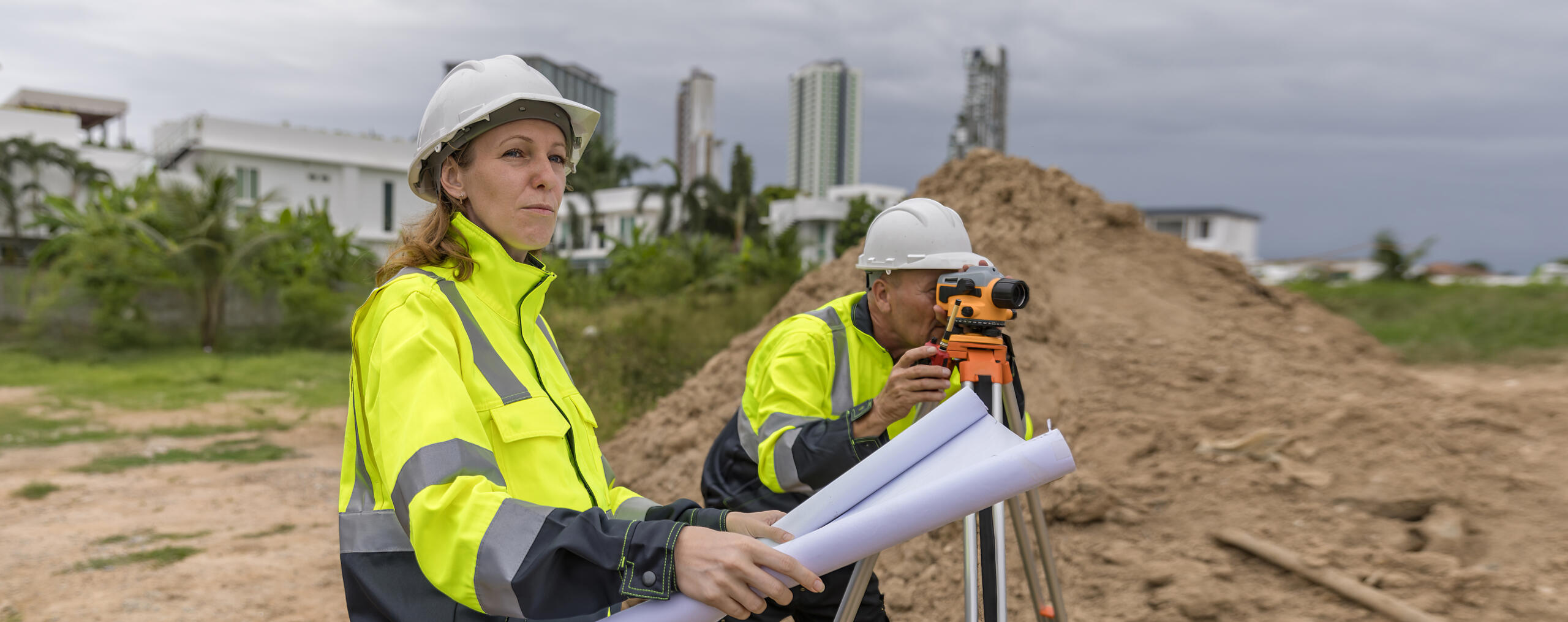
One Survey Company for Every Stage of Development
Splitting a single residential lot or breaking ground on a multi-phase commercial project — Southpoint Geodetics is the land surveyor Rio Grande Valley engineers and developers call first. Based in Harlingen, TX, and locally owned by Michael Wood, RPLS, we handle the full range of survey work that keeps development projects moving from concept to construction.
The Valley presents its own set of challenges — irregular parcel histories, floodplain complexity, and tight municipal timelines. Having a surveyor who knows the local terrain, the jurisdictions, and the people involved makes a measurable difference.
Lot Splits: Getting the Boundaries Right From the Start
A lot split looks simple on paper but requires precise boundary analysis to execute correctly. We research the deed history, identify any existing easements, and prepare the documents required by local municipalities before a parcel can be legally divided.
Mistakes at this stage create title problems that surface months or years later. Getting the boundaries right the first time protects everyone — sellers, buyers, and lenders.
Boundary Surveys: Resolving What’s Actually Yours
Boundary disputes and unclear property lines are common across the Valley, where older surveys may not reflect current legal standards or physical conditions on the ground. A boundary survey establishes the legal corners of a parcel based on recorded deeds, historical plats, and field measurements.
When You Need a Boundary Survey
Boundary surveys are typically needed before construction, after a property purchase, when a fence or structure placement is in question, or when a neighbor challenges a property line. Engineers and developers often order boundary surveys early in due diligence to avoid redesigning site plans around incorrect assumptions.
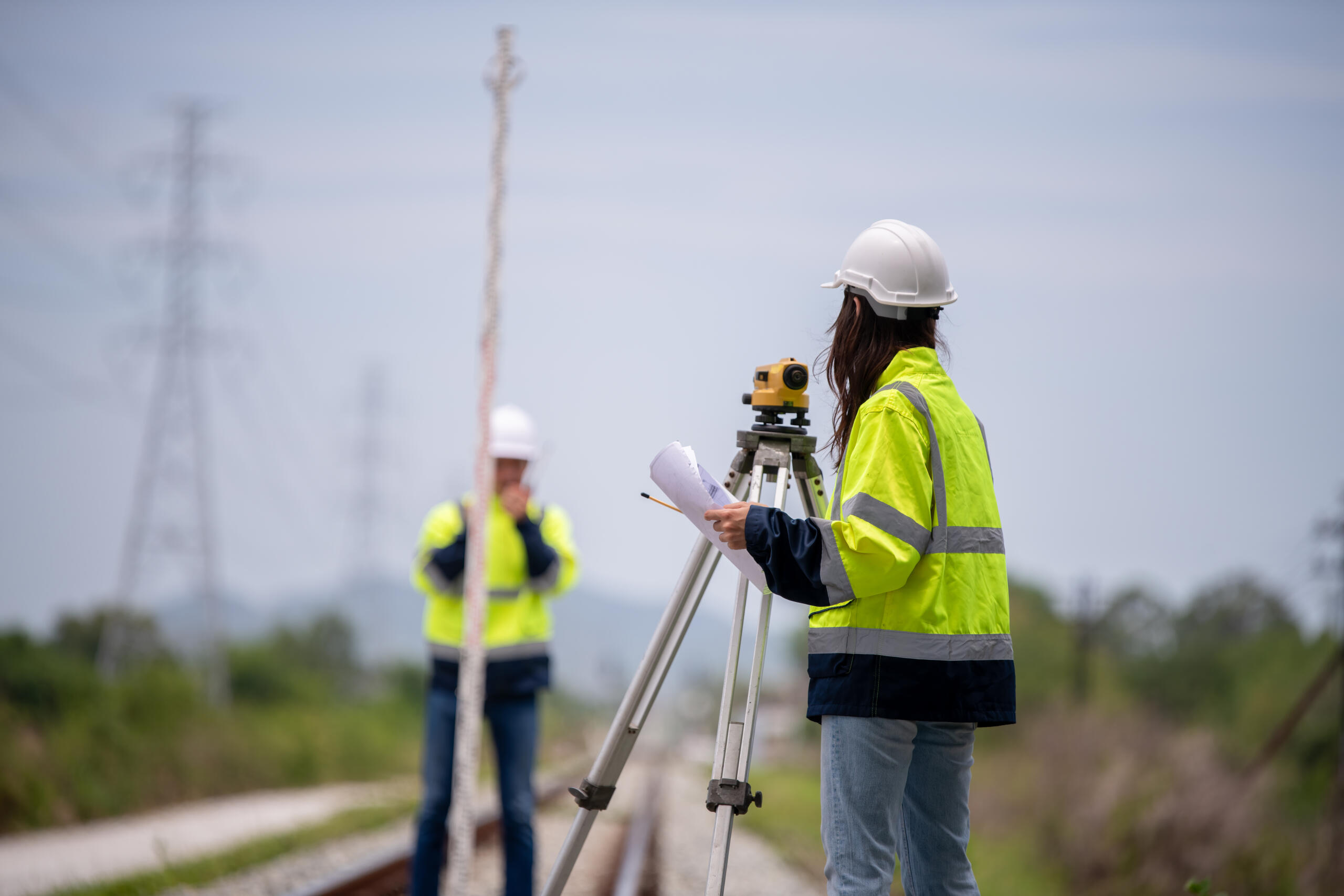
Topographic Surveys: Giving Engineers the Data They Need
Topographic surveys capture elevation data and existing site features — drainage patterns, structures, utilities, and grade changes. Engineers use this data to design grading plans, drainage systems, and site layouts that work with the land rather than against it.
Why Accurate Topo Data Matters on RGV Projects
In the Rio Grande Valley, flat terrain can hide subtle drainage issues and FEMA floodplain boundaries cut through developed areas — which means accurate topographic data is no formality. It directly affects design decisions, permitting, and downstream construction costs.

ALTA/NSPS Surveys: What Commercial Lenders and Title Companies Require
Commercial real estate transactions typically require an ALTA/NSPS survey. This survey type meets national standards set jointly by the American Land Title Association and the National Society of Professional Surveyors, covering boundary, easement, and improvement data in a format lenders and title companies accept across all jurisdictions.
Financing a commercial property in the Valley means there’s a good chance your lender will require one. We prepare ALTA surveys that satisfy title requirements and close transactions without unnecessary delays.
Construction Staking: Turning Plans Into Ground Reality
Once a site plan is approved, construction staking translates engineered drawings into physical points on the ground. We stake building corners, utility alignments, road centerlines, and elevation benchmarks so contractors can build exactly what was designed.
Accurate staking prevents costly mistakes in the field. A misplaced stake can mean a wall goes up in the wrong location, triggering conflicts with setbacks, easements, or adjacent property lines.
Subdivision Platting: Meeting City and County Requirements
Developers dividing land into multiple lots for sale or development must go through the platting process. We prepare subdivision plats that meet the specific requirements of Harlingen, McAllen, Brownsville, Edinburg, and surrounding Valley municipalities.
This includes coordinating with city planning departments, addressing utility easements, and confirming the plat reflects accurate boundary and acreage data. A local surveyor with existing relationships across Valley jurisdictions keeps the process on track.
Flood Elevation Certificates: Managing Risk in Flood-Prone Areas
Much of the Rio Grande Valley falls within or near FEMA-designated flood zones. A Flood Elevation Certificate documents the elevation of a structure relative to the Base Flood Elevation, and lenders and insurance carriers commonly require it for properties in flood-prone areas.
We prepare Elevation Certificates for residential and commercial properties, helping property owners understand their flood risk and satisfy lender or insurance requirements accurately.
Working With Engineers and Developers Across the Valley
Our land surveying services are built around the way engineers and developers actually work — on deadline, across multiple projects, and with little tolerance for rework caused by inaccurate data. We communicate clearly, deliver organized deliverables, and stay accessible when questions come up mid-project.
Michael Wood, RPLS, holds active licensure in both Texas and Mississippi, and brings field experience across a range of project types that informs how we approach every job, regardless of scale.

Conclusion: The Southpoint Geodetics Land Surveyor Advantage
From a single lot split in a Harlingen subdivision to a multi-tract commercial development along a Valley highway corridor, the Southpoint Geodetics land surveyor team brings the local knowledge, technical accuracy, and professional responsiveness that engineers and developers need. To learn more about who we are and how we work, visit about Southpoint Geodetics. Ready to move your project forward? Request a quote — we’ll take it from there.
What types of surveys does Southpoint Geodetics offer?
We offer boundary surveys, topographic surveys, ALTA/NSPS surveys, flood elevation certificates, construction staking, lot splits, and subdivision platting. Our services support residential, commercial, and large-scale development projects across the Rio Grande Valley.
Does Southpoint Geodetics work with engineers and developers on large projects?
Yes. We regularly work alongside civil engineers, site planners, and developers on multi-phase projects. We deliver organized survey data in formats that integrate with engineering workflows and stay engaged throughout the project lifecycle.
Where does Southpoint Geodetics provide survey services?
We serve the full Rio Grande Valley, including Harlingen, McAllen, Brownsville, Edinburg, and surrounding communities in Hidalgo, Cameron, and Willacy counties.
Do I need a survey before splitting a lot in Texas?
Yes. Texas law and local municipal requirements both mandate accurate survey documentation before a lot can be legally divided. This includes boundary verification and preparation of documents that meet your city or county’s subdivision or replat process.
How do I get started with Southpoint Geodetics?
Call us at (956) 368-5074 or submit a request through our website. We’ll gather the details of your project and provide a quote based on scope, location, and survey type required.