Whether you’re buying your first home, settling a boundary question with a neighbor, or preparing a lot for construction, hiring a land surveyor in Brownsville, TX is one of the most important steps you can take to protect your investment. But if you’ve never worked with a surveyor before, the process can feel unclear. What kind of survey do you actually need? How long will it take? What should it cost?
These are fair questions, and they deserve straightforward answers. In this guide, we’ll walk through the key things to understand before hiring a land surveyor in the Brownsville area, so you can move forward with confidence and avoid unnecessary surprises along the way.
Why You Might Need a Land Survey in Brownsville
There are several situations where a land survey isn’t just helpful, it’s required. In many real estate transactions across South Texas, mortgage lenders and title companies will ask for a current survey before they’ll move forward with financing. If you’re buying or selling property in Brownsville, your real estate agent or broker will likely let you know whether a survey report is needed to close.
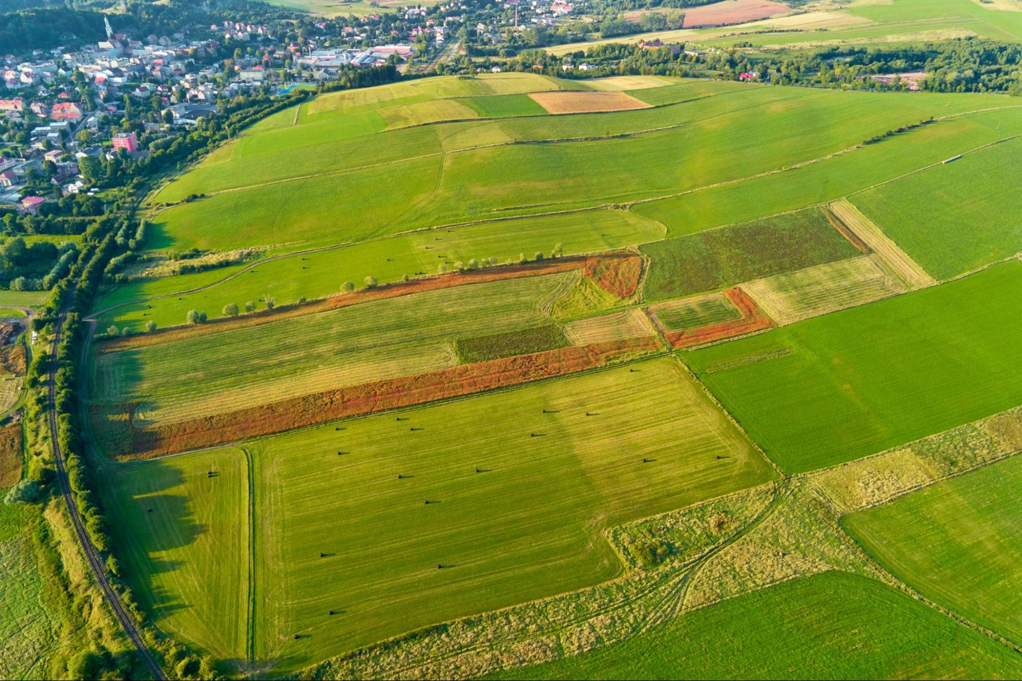
But transactions aren’t the only reason. Property owners sometimes need a survey to resolve a boundary dispute, confirm where a fence line actually falls, or verify setback requirements before adding a structure. Builders and developers rely on surveys to understand a site’s topography and drainage before breaking ground.
Southpoint Texas Surveying works with homebuyers, sellers, builders, and investors throughout the Rio Grande Valley. A common theme we see is that people who get a survey early in the process tend to avoid the costly delays that come from assumptions about property lines or site conditions. If you’re unsure whether your situation calls for a survey, you can always reach out to our team to talk through the specifics.
Types of Land Surveys Available in South Texas

Not all surveys serve the same purpose. Understanding which type fits your situation will save you time and help you communicate clearly with your surveyor.
Boundary Survey – This is one of the most commonly requested services. A boundary survey establishes the exact limits of a property using its legal description and typically involves setting or restoring markers at corners. It’s essential for resolving disputes, planning improvements, or simply knowing where your land begins and ends.
Mortgage Survey – Lenders and title companies frequently require this type of survey before financing a purchase. A mortgage survey maps all improvements on the property and confirms the boundaries, giving your lender confidence in what they’re financing.
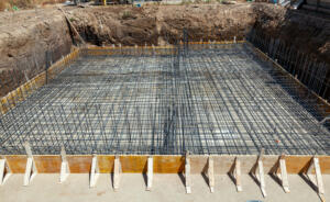
Topographic Survey – This survey captures the physical features of the land, including contours, elevations, drainage patterns, and existing structures. Engineers and architects often need this information before designing a project or evaluating a site for development.
ALTA/NSPS Land Title Survey – A more comprehensive survey that combines elements of boundary, mortgage, and topographic surveys into one detailed report. These are common in commercial transactions and situations where title insurance is involved.
Engineering Survey – Used in preparation for civil projects, this survey goes beyond standard mapping to include geodetic computations and site data critical for infrastructure planning.
We also provide farm and ranch surveys, as-built surveys, foundation surveys, and digital terrain modeling. You can explore the full range of services we offer to see which one aligns with your project.
What To Look for When Choosing a Land Surveyor
Hiring a land surveyor is not like choosing a general contractor. The results of a survey carry legal weight, so accuracy and credentials matter.
First, make sure the surveyor is a Registered Professional Land Surveyor (RPLS) licensed in the State of Texas. This is a legal requirement, and any reputable firm will be transparent about their licensing.
Second, look for local experience. South Texas has its own quirks when it comes to land records, terrain, and development patterns. A surveyor who knows the Brownsville area will understand the common challenges here, from older subdivisions with unclear records to properties near resacas or floodplain boundaries.
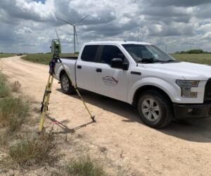
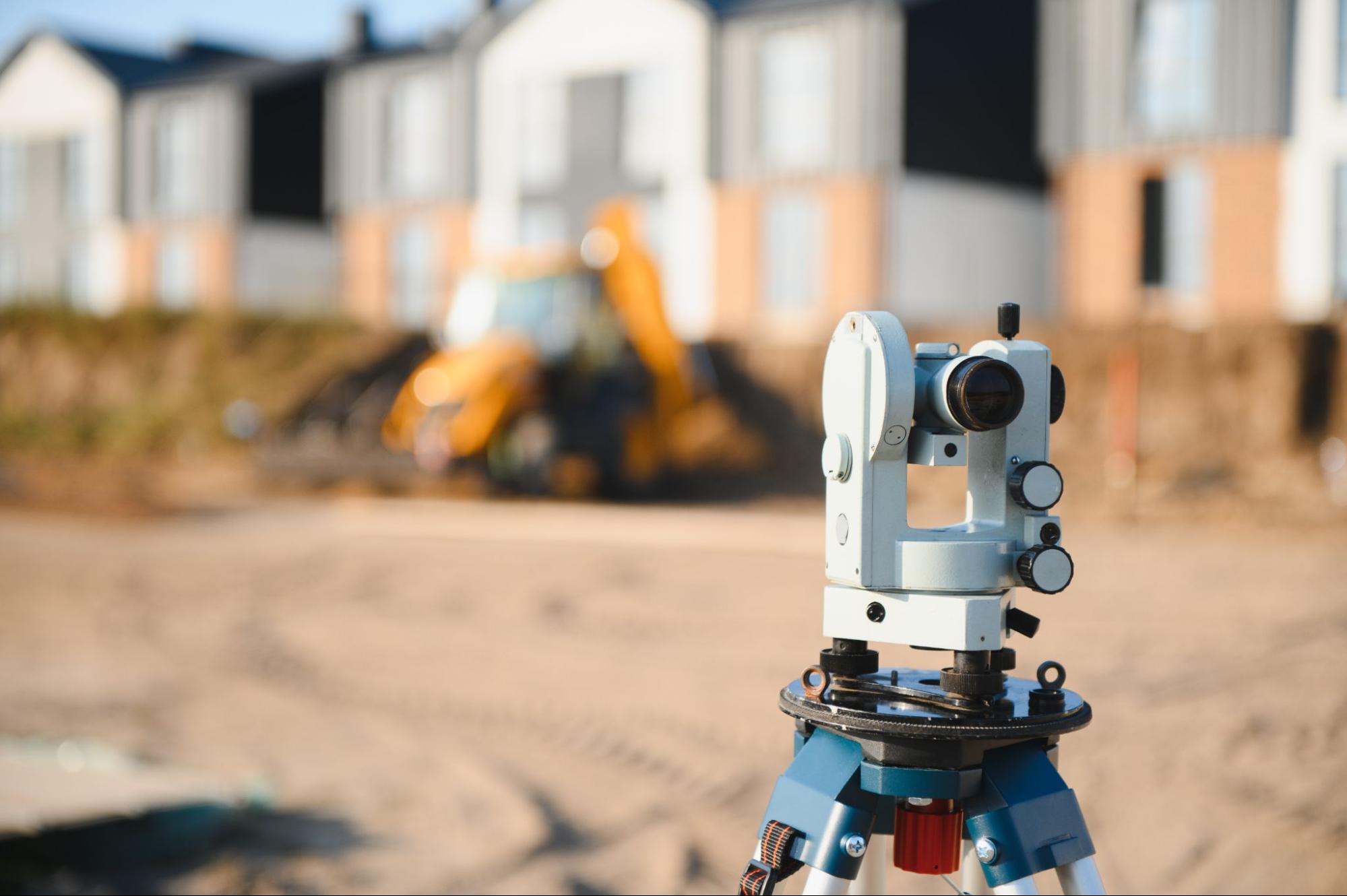
Third, ask about equipment and methods. Modern surveys often combine GPS technology with traditional techniques for the highest level of accuracy. At Southpoint Texas Surveying, we use state of the art GPS along with conventional surveying methods to deliver reliable results every time.
Finally, consider responsiveness. Delays in getting your survey can hold up closings, permits, and construction schedules. A firm that communicates clearly and delivers on time makes the entire process smoother for everyone involved.
What To Expect During the Survey Process
If you’ve never had land surveyed before, here’s a general idea of how it works.
It starts with a conversation. You’ll discuss your needs with the surveyor, who will ask about the purpose of the survey, the property’s location, and any known issues such as encroachments or unclear boundary lines. From there, the surveyor will review existing records, including deeds, plats, and prior surveys.
Next comes the fieldwork. A survey crew will visit the property to take measurements, locate existing markers, and gather site data. Depending on the type of survey, this could take a few hours or longer for larger or more complex properties.
After the field visit, the surveyor compiles the data and prepares the final survey document. This includes a detailed plat or map showing boundaries, improvements, easements, and any other relevant features. The finished product is a legal document you can use for your transaction, permit application, or project planning.
Timelines vary based on property size, survey type, and current workload, but a typical residential survey in Brownsville can often be completed within a couple of weeks. For more insight into how surveys support different property situations, browse our blog for related topics.
How Much Does a Land Survey Cost in Brownsville, TX?
Cost is understandably one of the first questions people ask. The honest answer is that it depends on a few factors.
The type of survey has the biggest impact on price. A standard mortgage survey for a residential lot will generally cost less than an ALTA/NSPS survey or a topographic survey for a larger commercial property. Property size, terrain, accessibility, and the complexity of the legal description also play a role.
In the Brownsville area, residential surveys typically fall within a range that most buyers and sellers find manageable, especially when weighed against the cost of a boundary dispute or a construction setback discovered too late. The key is to get a clear quote upfront so there are no surprises.
At Southpoint Texas Surveying, we provide straightforward estimates based on the specifics of your project. We believe you deserve to know what you’re paying for and why. If you’d like a quote for your property, contact us to discuss your project and we’ll walk you through the details.
Who Pays for a Land Survey: Buyer or Seller?
In Texas, the buyer typically pays for a land survey, but it’s fully negotiable under the Texas Real Estate Commission (TREC) One to Four Family Residential Contract. Paragraph 6C outlines three options :
- The seller provides an existing survey to the buyer and title company within a set number of days
- The buyer pays for and obtains a new survey
- The seller pays for and obtains a new survey
Whichever box is checked during negotiations legally controls who pays. Sellers can avoid the cost entirely by providing an existing survey paired with a T-47 Affidavit — a sworn statement confirming no material changes to the property since the last survey — which lenders and title companies will often accept.
Hire a Licensed Land Surveyor in Brownsville TX
Hiring a land surveyor in Brownsville, TX doesn’t have to be complicated. When you understand why surveys matter, which type fits your needs, and what to expect from the process, you’re in a much stronger position to make good decisions about your property.
The right surveyor brings accuracy, local knowledge, and clear communication to every project. At Southpoint Texas Surveying, we’re proud to serve Brownsville and the entire Rio Grande Valley with dependable, professional survey services. Whether you’re closing on a home, resolving a boundary question, or breaking ground on something new, we’re here to help you move forward with clarity.
If you have questions or want to learn more about how a survey fits into your plans, learn more about our survey services or get in touch with our team today.
Why do I need a land surveyor in Brownsville, TX?
A land surveyor in Brownsville, TX is often required for real estate transactions, boundary disputes, construction planning, and permit applications. Mortgage lenders and title companies typically request a current survey before financing a purchase. Getting a survey early helps avoid costly delays caused by assumptions about property lines or site conditions.
What types of land surveys are available in Brownsville?
Common survey types include boundary surveys, mortgage surveys, topographic surveys, ALTA/NSPS land title surveys, and engineering surveys. Southpoint Texas Surveying also offers farm and ranch surveys, as-built surveys, foundation surveys, and digital terrain modeling to cover residential, commercial, and construction projects of any size.
How long does a land survey take in Brownsville, TX?
A typical residential land survey in Brownsville can often be completed within a couple of weeks. Timelines depend on property size, survey type, terrain complexity, and the surveyor’s current workload. Larger or more complex properties, such as commercial sites or acreage, may require additional time for fieldwork and data compilation.
How much does a land survey cost in Brownsville, TX?
The cost of a land survey in Brownsville depends on the survey type, property size, terrain, and complexity of the legal description. A standard mortgage survey for a residential lot generally costs less than an ALTA/NSPS or topographic survey. Contact Southpoint Texas Surveying at (956) 368-5074 for a straightforward, project-specific quote.
What should I look for when hiring a land surveyor in South Texas?
Ensure your surveyor is a Registered Professional Land Surveyor (RPLS) licensed in Texas. Prioritize local experience, as South Texas has unique challenges like older subdivisions with unclear records and floodplain boundaries. Also look for advanced GPS equipment, clear communication, and a track record of delivering accurate surveys on time.
What is the difference between a boundary survey and a mortgage survey?
A boundary survey establishes the exact limits of a property by setting or restoring corner markers, making it ideal for disputes or construction planning. A mortgage survey maps all improvements on the property and confirms boundaries, giving lenders confidence in what they’re financing. Both are commonly requested by land surveyors in Brownsville, TX.
Do I need to be present during my land survey?
You don’t need to be present while the surveyor performs fieldwork, but it can be helpful. Being available allows you to point out known markers, answer questions about improvements, and discuss any concerns in real time. Your surveyor will provide a detailed plat or report once the work is complete.
How often should I get my property surveyed?
There’s no set rule, but a new survey is recommended before buying or selling property, starting construction, or resolving a boundary dispute. If your last survey is more than 10 years old or significant changes have occurred nearby, an updated survey ensures your records reflect current conditions.
Can a land survey help with flood zone determinations?
Yes. A topographic or elevation certificate survey can determine your property’s elevation relative to FEMA flood zones. This information is essential for flood insurance requirements, building permits, and understanding potential risks. A land surveyor in Brownsville, TX familiar with local floodplain maps can provide accurate elevation data.