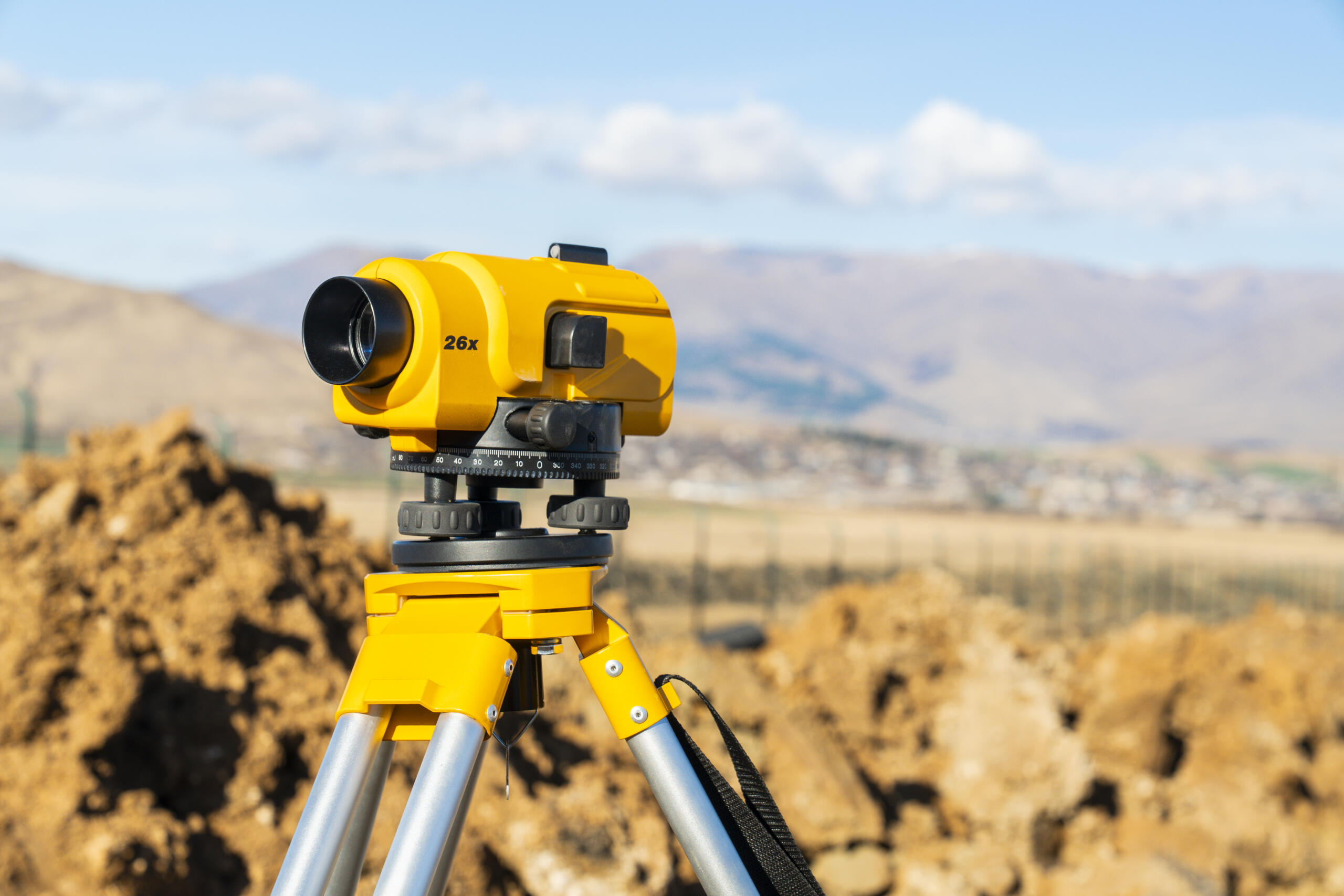
Accurate site data is the foundation of every successful development project. Before a single piece of equipment moves, developers and engineers need reliable boundary information, elevation data, and a clear picture of what exists on the ground. When you request a land survey today with Southpoint Geodetics, you get professionally collected field data from a locally owned firm with deep roots in the Rio Grande Valley. Founded by Michael Wood, RPLS, licensed in both Texas and Mississippi, Southpoint Geodetics brings precision and regional expertise to every project, from small residential lots to large commercial sites.
Why Site Data Accuracy Affects Everything Downstream
Inaccurate site data creates problems that compound quickly. A boundary line that is off by a few feet can affect setback compliance, easement placement, and even financing. Engineers and developers who catch these issues early — before construction begins — avoid the kind of costly corrections that can stall a project for weeks.
A licensed survey gives your entire team a verified reference point. Architects, civil engineers, contractors, and local permitting offices all rely on the same data set. When that data is accurate from the start, coordination between disciplines becomes significantly smoother.
What Types of Surveys Do Developers and Engineers Typically Need?

Developers and engineers most often need boundary surveys, topographic surveys, and construction staking. Each serves a different phase of the project lifecycle.
A boundary survey establishes the legal limits of the property. A topographic survey maps the elevation and physical features of the site, giving engineers the data they need for grading, drainage, and utility design. Construction staking translates the engineered plans onto the actual ground so crews build in the right locations.
Depending on project scope, you may also need an ALTA/NSPS survey for commercial acquisitions or a subdivision plat for land being divided. You can review the full range of land surveying services Southpoint Geodetics offers to match your project’s specific requirements.
How a Topographic Survey Supports Engineering Design
A topographic survey gives engineers a detailed picture of existing conditions on the ground. It captures elevation changes, drainage patterns, trees, utilities, structures, and other features that affect design decisions.
Without accurate topo data, engineers work from assumptions. Those assumptions may lead to design revisions once field conditions are confirmed, which adds time and cost to the project. Having current, field-verified topo data at the start of design helps engineers produce plans that reflect actual site conditions.
In the Rio Grande Valley, where flat terrain can have subtle grade changes that affect drainage significantly, topographic accuracy is especially valuable.
Boundary Surveys: Establishing the Legal Footprint of Your Site
A boundary survey defines the legal boundaries of a property based on recorded documents, deeds, and field measurements. For developers, it confirms exactly what land is being built on and where the legal lines fall relative to adjacent properties, roads, and easements.
Lenders, title companies, and local governments often require a current boundary survey before a project can proceed. Having one prepared by a licensed RPLS in Texas helps satisfy those requirements with documentation that meets state standards under Texas Occupations Code, Chapter 1071.
It also gives your design team the accurate starting point they need before laying out site plans or applying for permits.
ALTA/NSPS Surveys for Commercial Developments
An ALTA/NSPS Land Title Survey is a detailed survey prepared to national standards jointly developed by the American Land Title Association and the National Society of Professional Surveyors. It is typically required for commercial real estate transactions and provides lenders and title insurers with a thorough picture of the property.
This type of survey goes beyond a standard boundary survey to identify easements, encroachments, utilities, access issues, and other conditions that may affect title. For developers acquiring commercial property, it is one of the most complete pre-purchase tools available.
Southpoint Geodetics prepares ALTA/NSPS surveys for commercial clients across South Texas.
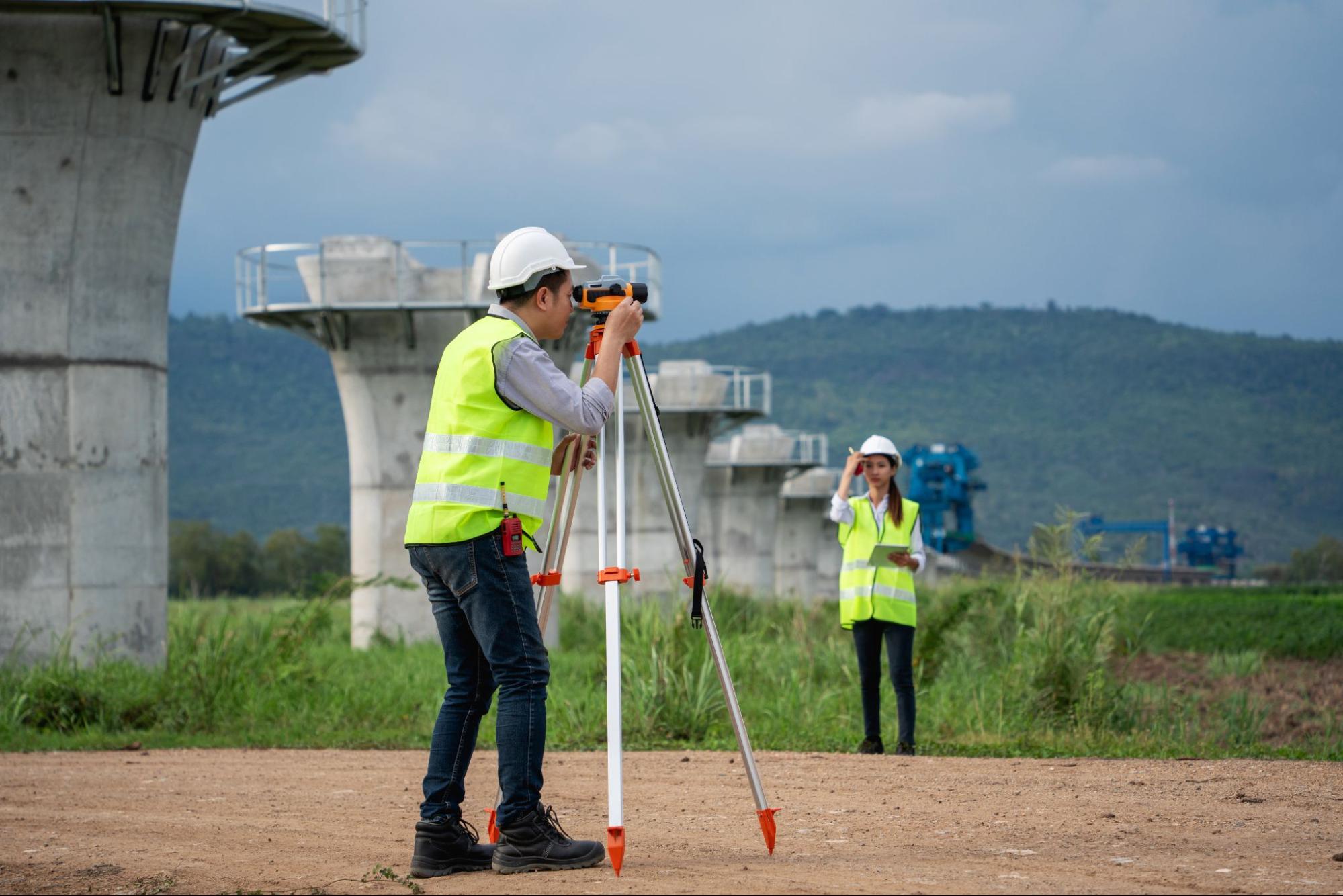
Construction Staking: Connecting Plans to the Ground
Construction staking is how engineered plans become physical reality. A surveyor places markers in the field that show crews exactly where structures, utilities, roads, and other improvements should be built.
Without accurate staking, construction crews rely on approximations. That can lead to improvements built in the wrong locations, which may conflict with setbacks, easements, or adjacent infrastructure. Staking brings the precision of the survey process directly into the construction workflow.
It is typically done in phases, with initial staking for rough grading followed by more detailed staking as construction progresses.
Why Local Knowledge Counts in the Rio Grande Valley
Surveying in South Texas comes with region-specific considerations. Soil conditions, flood zone designations, irrigation district easements, and local land records all factor into accurate survey work in this area.
Southpoint Geodetics is based in Harlingen and serves clients throughout the Rio Grande Valley. That local presence means our team is familiar with the records, agencies, and field conditions specific to this region. You can learn more about the team and our background on the about Southpoint Geodetics page.
For a broader overview of survey types and what to expect from the process, this guide on trusted land surveying services in South Texas is a useful starting point.
When to Schedule Your Survey in the Project Timeline
The right time to schedule a survey is earlier than most people expect. Ideally, boundary and topographic surveys should be completed before design work begins, not after. Waiting until plans are underway can lead to revisions if field conditions differ from assumptions.
For commercial projects, an ALTA survey should be ordered during the due diligence period before closing. Construction staking should be coordinated with your general contractor so it aligns with the construction schedule.
Early scheduling also helps ensure availability, particularly during busy development seasons in the Valley.
Request a Land Survey Today and Start Your Project on Solid Ground
If your development or engineering project is moving toward the design or construction phase, now is the right time to get your survey scheduled. Southpoint Geodetics provides professional, field-verified survey data to developers and engineers across South Texas.
Contact us at (956) 368-5074 or request a quote to tell us about your project. We will follow up to discuss scope, timing, and next steps.
What is the first step when I request a land survey today?
The first step is contacting Southpoint Geodetics to describe your project and the type of survey you need. From there, we gather basic information about the property, including the address, legal description, and project goals. That allows us to assess scope, provide a quote, and schedule field work efficiently. You can reach us by phone at (956) 368-5074 or through our online contact form.
How do I know which type of survey my project requires?
The type of survey depends on your project phase and what the data will be used for. Boundary surveys define property lines. Topographic surveys support engineering design. ALTA/NSPS surveys are typically required for commercial transactions. Construction staking supports active building. Describing your project goals to our team helps us identify the right survey type or combination of services for your specific situation.
Does Southpoint Geodetics work on large commercial and infrastructure projects?
Yes. Southpoint Geodetics serves developers, engineers, municipalities, and other clients on projects of varying scale across South Texas. Whether the project is a single commercial lot or a larger infrastructure development, we apply the same licensed, field-verified approach to data collection and deliverables.
Is Michael Wood, RPLS licensed to survey in Texas?
Yes. Michael Wood holds an RPLS license in Texas and Mississippi. All survey work completed by Southpoint Geodetics in Texas is performed under the direction of a registered professional land surveyor in compliance with Texas Occupations Code, Chapter 1071, and the rules of the Texas Board of Professional Land Surveying.