Hiring a land surveyor in Harlingen, TX is one of those steps that can feel straightforward until you realize how much rides on getting it right. Whether you’re buying your first home, settling a boundary question with a neighbor, or preparing a lot for construction, the survey itself becomes the foundation for nearly every decision that follows.
And yet, most people don’t think much about land surveying until someone tells them they need one. That’s understandable. It’s not something you deal with every day. But knowing what to look for, what types of surveys exist, and how the process actually works can save you real time, money, and frustration. Here’s what we think every property owner and buyer in Harlingen should know before picking up the phone.
When You Need a Land Survey in Harlingen
There are several situations where a land survey isn’t just helpful, it’s required. If you’re purchasing property, your mortgage lender or title company will almost certainly request a current survey before closing. This applies to residential lots, commercial parcels, and especially undeveloped land where boundary markers may have shifted or disappeared over the years.
Beyond real estate transactions, you might need a survey if you’re planning to build a fence, add an addition, or pour a new foundation. The City of Harlingen and Cameron County both have setback and zoning requirements that depend on knowing exactly where your property lines fall. Without that information, you risk building in the wrong spot or encroaching on a neighbor’s land.
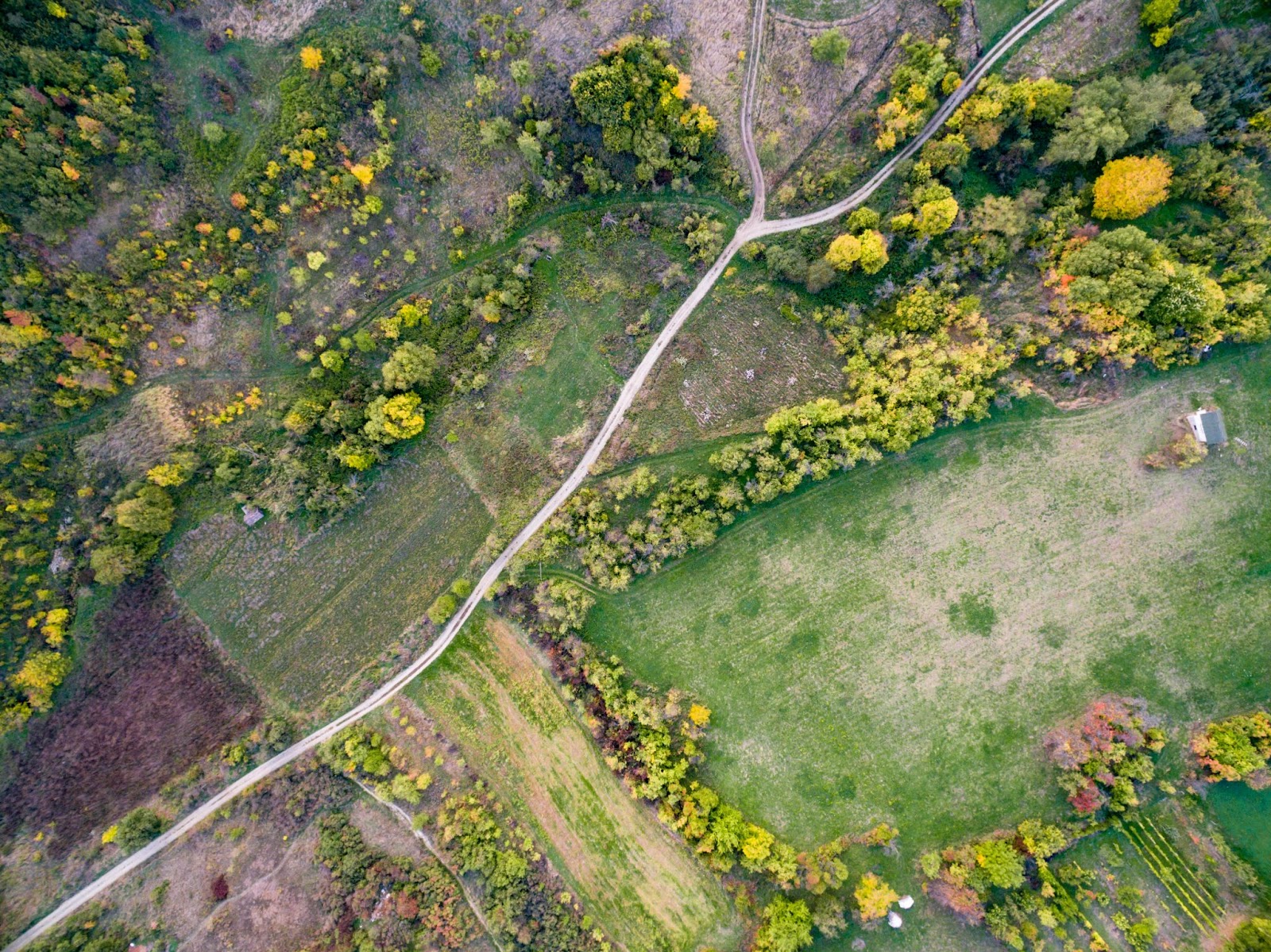
Boundary disputes are another common trigger. In South Texas, where parcels have sometimes changed hands multiple times over decades, old fences and assumed property lines don’t always match what’s recorded in the deed. A professional land survey settles the question with documented measurements, not guesswork.
If you’re unsure whether your situation calls for a survey, it’s worth reaching out. You can contact us to discuss your property and we’ll help you figure out what’s actually needed.
Types of Land Surveys Available
Not every survey serves the same purpose, and understanding the differences helps you avoid paying for something you don’t need, or worse, getting the wrong type entirely.
Boundary Survey: This is the most common type for property owners. A boundary survey establishes the exact corners and lines of a parcel using the legal description on file. Surveyors set or restore physical markers so you can see, on the ground, where your property begins and ends.
Mortgage Survey: If you’re financing a purchase, your lender will likely require a mortgage survey. This maps all improvements on the property being purchased and confirms that structures, driveways, and fences fall within the recorded boundaries. It protects both you and the lending institution from surprises after closing.
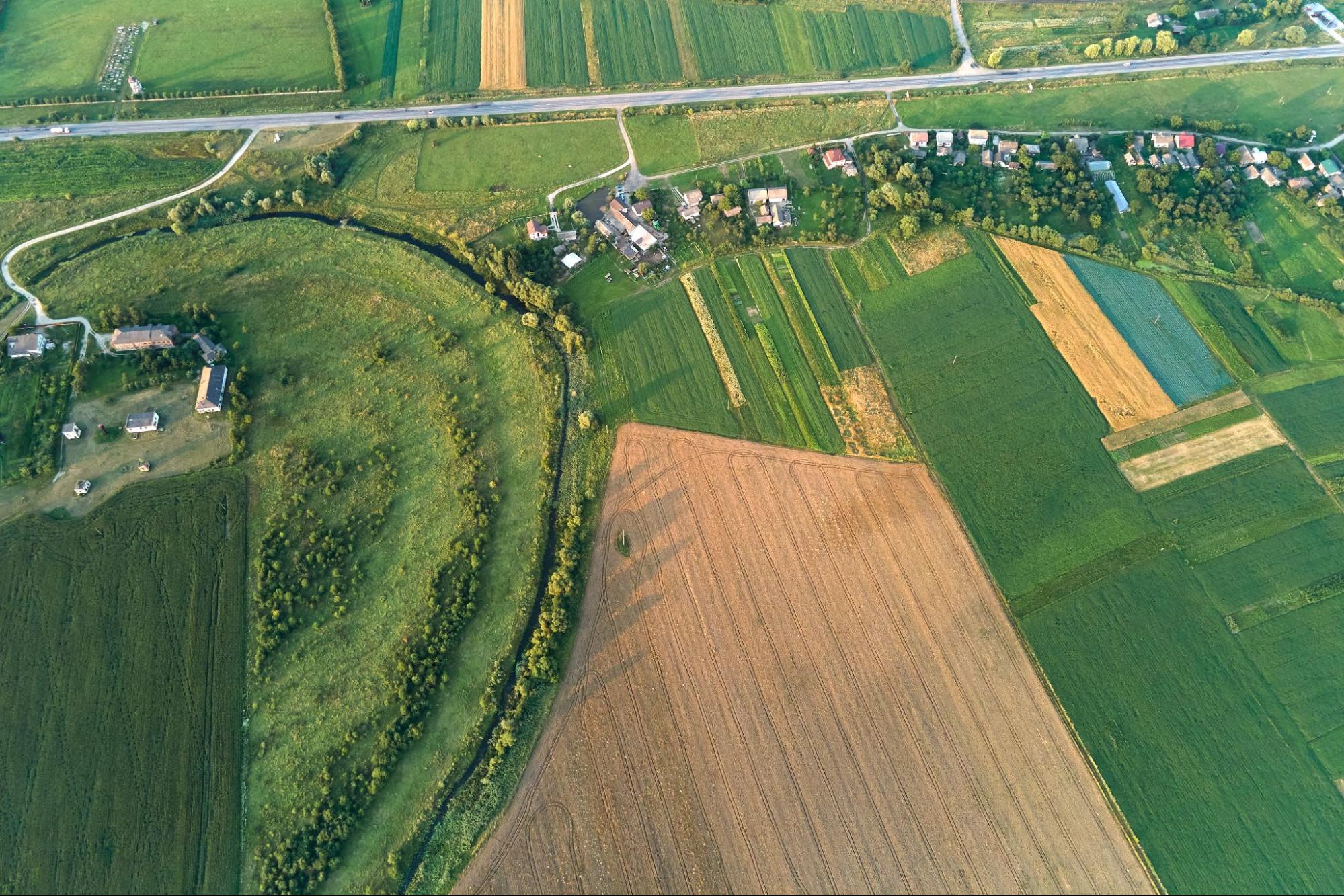
Topographic Survey: A topographic survey maps the physical features of a piece of land, including elevation changes, drainage patterns, buildings, sidewalks, and natural features. Engineers and architects rely on these when planning construction or evaluating how water moves across a site.
ALTA/NSPS Land Title Survey: This is a more comprehensive survey that combines elements of boundary, mortgage, and topographic surveys. It follows standards set by the American Land Title Association and the National Society of Professional Surveyors. It’s commonly required for commercial transactions and title insurance.
Foundation Survey: Done before a foundation is poured, this confirms that the proposed structure will sit in the correct location and at the proper elevation.
At Southpoint Texas Surveying, we handle all of these and more. You can explore the full range of services we offer to find the right fit for your project.
How to Choose a Qualified Land Surveyor
Choosing the right land surveyor in Harlingen, TX comes down to a few practical considerations. The first is licensing. In Texas, a land surveyor must be a Registered Professional Land Surveyor (RPLS) to legally sign and seal survey documents. Always verify this before hiring anyone.
Local experience matters just as much as credentials. South Texas has its own land history, soil conditions, and development patterns. A surveyor who knows the Rio Grande Valley understands how older subdivisions were platted, where historical markers tend to be, and what county or municipal requirements apply. That kind of familiarity prevents delays and errors that a less experienced firm might overlook.
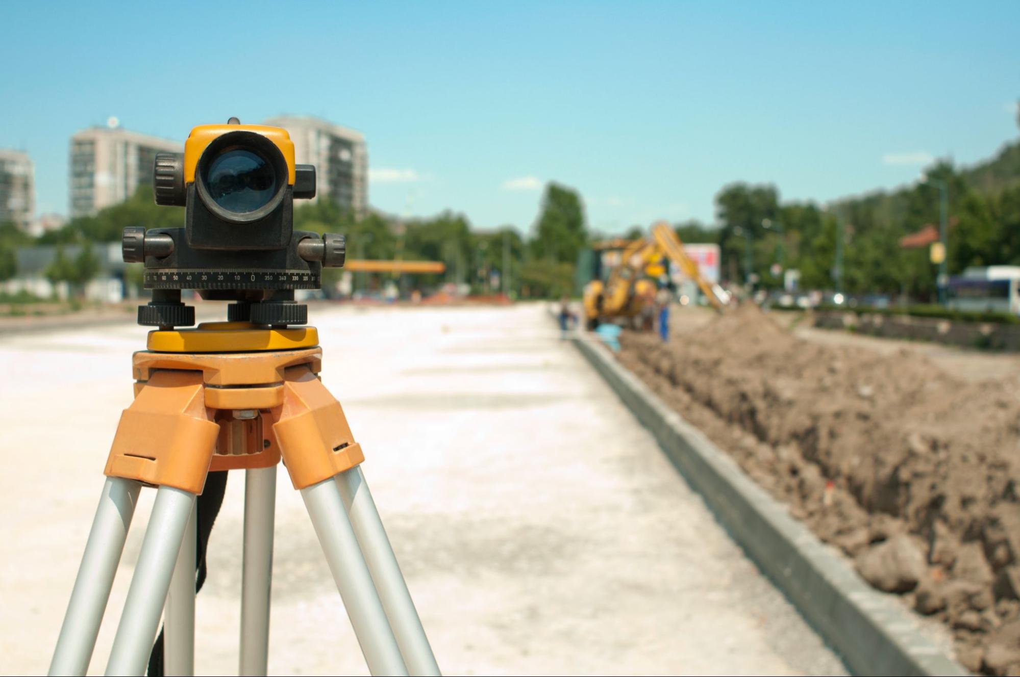
Equipment is another factor. Modern GPS technology paired with conventional surveying techniques delivers higher accuracy and faster turnaround. At Southpoint Texas Surveying, we use state of the art Global Positioning Systems alongside traditional methods to ensure dependable results on every project.
Finally, ask about communication and timelines. A good surveyor should be able to explain what they’ll do, how long it will take, and what you’ll receive when it’s done. If someone can’t give you a clear answer on those basics, that’s a sign to keep looking.
It also helps to do some background research. You can find additional resources in our blog covering topics like boundary surveys, ALTA surveys, and what to know before buying land in Texas.
What to Expect During the Survey Process
If you’ve never had your property surveyed before, here’s a general idea of how the process works.
It starts with research. Before anyone sets foot on your land, the surveyor reviews public records, deeds, plats, and any previous survey data tied to the property. This background work is essential for understanding the legal description and any potential issues.
Next comes the fieldwork. A survey crew visits the property to take measurements, locate existing markers, and identify improvements or features relevant to the survey type. Depending on the size and complexity of the parcel, fieldwork can take anywhere from a few hours to a full day or more.
After the field data is collected, the surveyor processes and analyzes the information back in the office. This is where calculations are finalized, maps are drafted, and the official survey document is prepared. For a standard residential lot in Harlingen, you can typically expect the entire process to take a few business days to a couple of weeks, depending on the workload and scope.
Once your survey is complete, you’ll receive a signed and sealed document that you can use for your transaction, permit application, or construction planning. If anything unexpected comes up during the process, such as an encroachment or discrepancy in the legal description, your surveyor should walk you through it clearly so you know your options.
Conclusion
Hiring a land surveyor in Harlingen, TX doesn’t have to be complicated, but it does require a little assignments. Now you know the common situations that call for a survey, the different types available, what to look for in a qualified professional, and how the process unfolds from start to finish.
The right survey protects your investment, prevents disputes, and gives you the documentation you need to move forward with confidence. At Southpoint Texas Surveying, we’re a locally owned company founded by Michael Wood, a Registered Professional Land Surveyor licensed in Texas and Mississippi. We serve Harlingen, the Rio Grande Valley, and all of South Texas with accurate, timely results and straightforward communication.
If you have a project coming up or just want to understand your options, we’re happy to help. Reach out to our team and let’s talk about what your property needs. When do I need a land surveyor in Harlingen, TX?
You typically need a land surveyor in Harlingen, TX when buying or selling property, resolving a boundary dispute, planning construction, or adding improvements like fences or additions. Mortgage lenders and title companies usually require a current survey before closing, and the City of Harlingen enforces setback and zoning rules that depend on accurate property lines.

What types of land surveys does Southpoint Texas Surveying offer?
Southpoint Texas Surveying offers boundary surveys, mortgage surveys, topographic surveys, ALTA/NSPS land title surveys, foundation surveys, engineering surveys, as-built surveys, farm and ranch surveys, digital terrain modeling, utility mapping, and more. Whether your project involves a single residential lot or thousands of acres, their experienced team can handle it accurately and efficiently.
How long does a land survey take in Harlingen?
For a standard residential lot in Harlingen, the entire process typically takes a few business days to a couple of weeks. It begins with deed and plat research, followed by on-site fieldwork that can last a few hours to a full day. After that, the surveyor finalizes calculations and prepares your signed and sealed survey document.
How do I choose a qualified land surveyor in Harlingen, TX?
Look for a Registered Professional Land Surveyor (RPLS) licensed in Texas, which is legally required to sign and seal survey documents. Prioritize local experience in the Rio Grande Valley, modern GPS equipment paired with conventional techniques, and clear communication about timelines and deliverables. Southpoint Texas Surveying meets all of these criteria as a locally owned firm.
What is the difference between a boundary survey and an ALTA/NSPS survey?
A boundary survey establishes the exact corners and lines of a property parcel using its legal description. An ALTA/NSPS land title survey is more comprehensive, combining elements of boundary, mortgage, and topographic surveys under standards set by the American Land Title Association and the National Society of Professional Surveyors. ALTA surveys are commonly required for commercial transactions and title insurance.
How much does it cost to have land surveyed in South Texas?
Land survey costs in South Texas vary based on the property size, survey type, terrain complexity, and required research. A standard residential boundary or mortgage survey generally costs less than a detailed ALTA/NSPS or topographic survey. Contact Southpoint Texas Surveying at (956) 368-5074 or request a quote for an accurate estimate tailored to your specific project.
Is a land survey worth it?
Yes, a land survey is absolutely worth the investment. It protects you from costly boundary disputes, ensures compliance with local regulations, and provides peace of mind when buying, selling, or developing property. We believe the upfront cost of a professional land surveyor in Harlingen, TX far outweighs the potential legal and financial headaches of skipping this essential step.
Is a land surveyor free?
No, land surveyors are not free. The cost of professional land surveying services depends on factors like property size, terrain complexity, location, and survey type. Some surveyors offer free quotes or consultations, but the actual surveying work requires payment.