Choosing a land surveyor in South Texas should not come down to price alone. Survey work can affect real estate closings, boundary decisions, construction plans, and how you may be able to use your land, so an unclear scope or missing deliverable can create problems later even when the initial estimate looks attractive.
A better approach is to start with clear questions, define your project, verify credentials, and compare written scopes carefully before fieldwork begins. Southpoint Geodetics, LLC works with property owners, buyers, builders, and other professionals throughout South Texas to help clarify surveying needs and expected deliverables.
Start With Your Property, Project, and Survey Requirements

Before contacting surveyors, identify the decision the survey needs to support. A buyer preparing for a transaction needs something different from a builder planning site work, while a rural tract near Harlingen may involve acreage, access issues, and older deed language that would not typically apply to an established city lot.
Gathering useful information before requesting an estimate also helps firms understand the assignment and makes proposals easier to compare. This may include your current deed and title documents, property address and legal description, previous surveys or plats, construction plans, project deadlines, and any known concerns involving access, encroachments, utilities, or disputed lines.
When this information is available, the surveyor can define a more realistic scope and better understand what the work needs to accomplish. Survey requirements may also depend on contracts, title commitments, local development rules, and what other professionals need from the project, while attorneys, title professionals, engineers, and local authorities handle questions outside the surveyor’s professional role.
Need help identifying the appropriate service for your property or project? Explore Southpoint Geodetics’ professional land survey services.
Match the Survey Type to Your Specific Needs
The right service depends on the question the survey needs to answer. A boundary survey may be appropriate before buying land, installing a fence, addressing a boundary concern, or planning improvements near a property line, while topographic surveys document elevations and site features for design or development and as-built surveys record selected improvements after construction.
Other projects may require an ALTA/NSPS Land Title Survey, utility mapping, tree location work, digital terrain modeling, construction staking, or farm and ranch surveying. ALTA/NSPS assignments follow established ALTA/NSPS Land Title Survey standards, and optional Table A items are selected according to the requirements of the specific assignment.
To compare the survey options Southpoint offers, review Southpoint Geodetics’ surveying services.
Verify Credentials, Insurance, and South Texas Experience
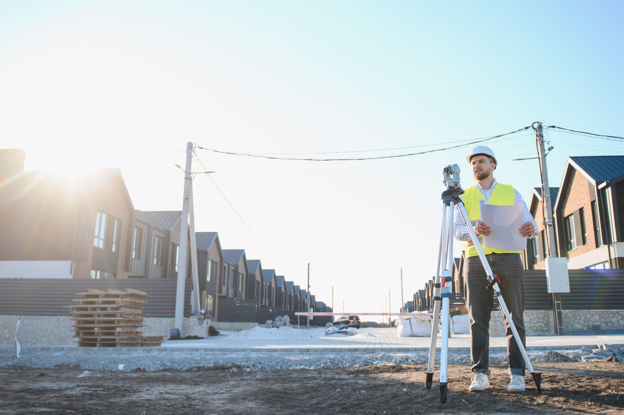
In Texas, professional boundary surveying and related professional surveying work must be performed under the responsible charge of a Registered Professional Land Surveyor. Instead of relying only on a website or business card, clients can verify registration information through the Texas Board of Professional Engineers and Land Surveyors.
Ask who will be professionally responsible for the assignment and who will sign or seal the final survey when required. Field crews and technicians perform important work, but the licensed surveyor remains responsible for professional analysis, supervision, and the final product, while professional liability or general liability coverage may also be worth discussing depending on the type of property or project.
Look for Relevant Local Knowledge and Proven Work
Experience in South Texas and the Rio Grande Valley matters because surveying involves more than operating equipment. A surveyor may need to interpret records, recover physical evidence, evaluate conflicting information, and understand how local properties have developed over time.
In and around Brownsville, projects can involve dense urban lots, drainage infrastructure, resacas, agricultural tracts, rural acreage, or changing development areas. When comparing firms, ask about work involving similar acreage, terrain, documentation, and intended use, especially when coordination with title, design, construction, or municipal professionals may be required.
Compare Scope, Deliverables, Cost, and Turnaround Time

A low estimate may not represent the lowest total cost if it excludes research, monument setting, revisions, travel, coordination, or a required deliverable. A written proposal should clearly explain the property being surveyed, the service type, records research and fieldwork included, expected deliverables, monument work, schedule, assumptions, fees, and how additional services will be handled.
Comparing these details is more useful than comparing the final price alone. If two proposals differ significantly, ask each firm to explain its assumptions and exclusions because the difference may reflect omitted work rather than greater efficiency.
Turnaround time should also be realistic. Heavy vegetation, missing monuments, conflicting deeds, difficult access, weather, delayed records, and project complexity can affect scheduling, while research, field collection, professional analysis, drafting, and quality review all take time beyond the day a crew visits the site.
Technology can support the process when used appropriately. GPS, robotic instruments, lidar, drones, and digital modeling can make data collection more efficient, but equipment alone does not resolve a boundary because professional judgment, field evidence, and record analysis remain essential.
Have questions about the scope or deliverables your project may require? Contact Southpoint Geodetics to discuss your surveying needs.
Ask the Right Questions and Watch for Red Flags
A brief conversation can reveal how carefully a surveying firm approaches an assignment. Ask who will oversee the project, what information is needed from you, how site access will be arranged, which deliverables will be provided, and how unexpected field conditions or conflicting records will be handled.
Useful questions include what assumptions were used in the estimate, whether the schedule includes quality review, how scope changes are approved and billed, and whether you will be notified if a material issue is discovered. For construction or development projects, it may also be useful to ask whether the surveyor can coordinate with engineers, architects, contractors, title professionals, or municipal reviewers when needed.
Be cautious when someone provides a firm price without asking for basic property information. Other warning signs include vague deliverables, reluctance to identify the responsible license holder, guarantees about boundary outcomes before research is completed, or scheduling promises that ignore known access or documentation issues.
Price matters, but the goal is not automatically to choose the highest or lowest estimate. It is to select a qualified professional offering a clear, realistic scope that matches the property and project requirements.
Conclusion: Choose a Surveyor Who Protects Your Next Move

Choosing professional land survey services in South Texas means looking for proper licensing, relevant local experience, a clearly defined scope, appropriate deliverables, and dependable communication. Comparing qualifications and the work included in each proposal, rather than price alone, provides a stronger foundation for buying, selling, building, or managing land.
Southpoint Geodetics, LLC works with property owners, buyers, agents, builders, and project professionals throughout South Texas to clarify surveying needs, expected deliverables, and project constraints before work moves forward.
Ready to discuss your property or project? Contact Southpoint Geodetics to review your survey needs, intended use, expected deliverables, and next steps.
Frequently Asked Questions About Choosing Professional Land Survey Services in South Texas
What Should I Consider First When Choosing Professional Land Survey Services in South Texas?
Start by defining the property, project, and survey requirements. Gather the deed, legal description, available records, intended land use, known concerns, and deadlines so the surveyor can develop an appropriate scope.
How Do I Ensure the Land Surveyor Is Qualified and Experienced in South Texas?
Verify that the responsible surveyor holds a valid Registered Professional Land Surveyor registration through the Texas Board of Professional Engineers and Land Surveyors. Ask who will oversee the work and about experience with similar properties, records, terrain, and intended uses.
What Types of Land Surveys Are Available and How Do I Choose the Right One?
Common services include boundary surveys, topographic surveys, as-built surveys, ALTA/NSPS Land Title Surveys, construction staking, utility mapping, tree location work, digital terrain modeling, and farm and ranch surveying. The appropriate service depends on the purpose and required deliverables.
Why Is It Important to Compare Written Survey Scopes and Not Just Prices?
A written scope explains the research, fieldwork, deliverables, coordination, assumptions, and exclusions included in an estimate. A lower price may omit work that becomes necessary later and increases the overall project cost.
How Does Southpoint Geodetics Approach South Texas Survey Projects?
Southpoint Geodetics begins by clarifying the property, project purpose, requested service, expected deliverables, deadlines, available records, site access, field conditions, and coordination needs before defining the proposed scope.
What Questions Should I Ask a Surveyor Before Hiring?
Ask who will be professionally responsible for the work, what information is needed, how site access will be handled, which deliverables are included, and how unexpected conditions or scope changes will be addressed.