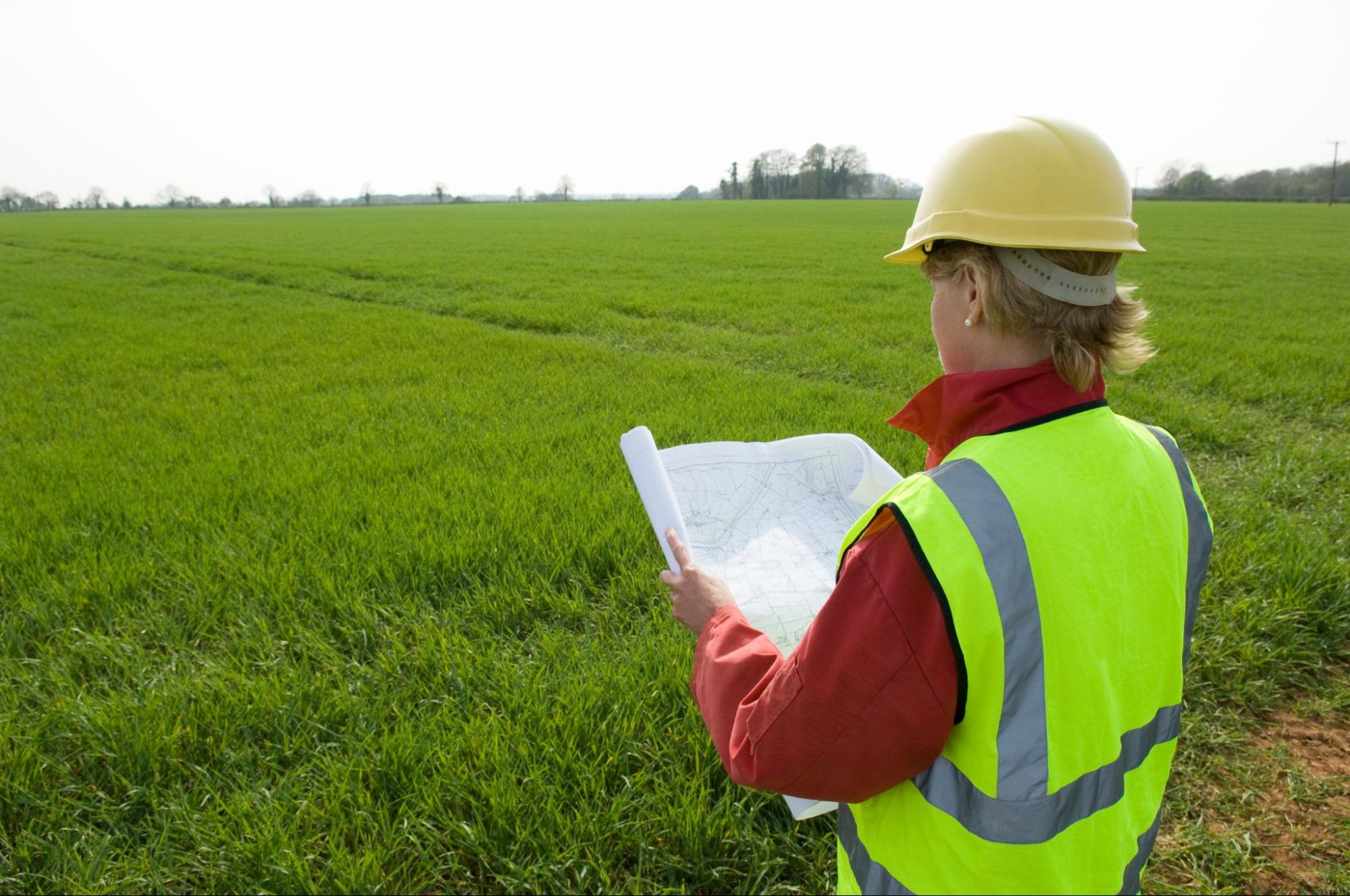
Buying, selling, or building on property in South Texas usually feels exciting. It can also feel stressful once questions about boundaries, easements, or flood risk come up. A professional land surveyor is the person in the background who answers those questions with clear, defensible measurements so your project can move forward.
At Southpoint Texas Surveying, we help property owners, buyers, and builders across the Rio Grande Valley and South Texas understand exactly what they own and where they can safely build. In this guide, we explain what a professional land surveyor does, when you need one, and how to choose the right partner for your property.
Discover What a Professional Land Surveyor Actually Does
A professional land surveyor is a licensed expert who measures, maps, and documents land so that everyone involved in a property can rely on the same facts. Our work combines field measurements, research into legal records, and careful mapping.
In practical terms, we help you answer questions like:
- Where exactly are my property lines
- Are there any encroachments or overlaps with neighbors
- Where are easements, utilities, and improvements on my land
- Is my site suitable for the project I am planning
We gather information using surveying instruments such as GPS equipment and total stations. We combine that data with deeds, plats, and county records. Then we prepare official survey documents that can be used for closings, design, permits, and in many cases, to resolve disputes.
How Surveyors Define and Protect Your Property Lines
One of the most common reasons to hire a professional land surveyor is to clarify property boundaries. Texas property descriptions can be complex, especially on older tracts or ranches that have changed hands several times.
When we perform a boundary survey, we:
- Research the record We review your deed, subdivision plat, prior surveys, and surrounding property records to understand how the land was originally described.
- Locate existing monuments We search for markers such as iron rods, concrete monuments, fence corners, and other evidence used in past surveys.
- Measure the property We collect new field data to confirm distances, angles, and relationships between monuments and features.
- Apply boundary law principles We use Texas surveying standards and case law to interpret conflicting evidence if the record does not agree perfectly with what we find in the field.
The result is a clear map that shows where your property begins and ends. Accurate boundaries protect your property rights and greatly reduce the chances of costly disputes with neighbors or problems at closing.
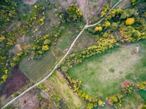
Common Types of Surveys Used in South Texas
Different situations call for different types of surveys. Across South Texas, the most common surveys we perform include:
- Boundary Surveys Establish and document your exact property lines. These are essential when buying land, building fences, or resolving disputes.
- Mortgage or Title Surveys Often required by lenders and title companies before closing. These confirm boundaries and show improvements such as houses, driveways, and fences on the property.
- ALTA NSPS Land Title Surveys Highly detailed surveys used for commercial properties and larger transactions. They show boundaries, improvements, easements, access, and many other items needed by lenders and title insurers.
- Topographic Surveys Show the shape of the land, including elevations, drainage patterns, and physical features. Engineers and architects use these to design site plans for homes, subdivisions, and commercial projects.
- Engineering and Construction Surveys Support civil projects, including layout before construction, as-built surveys during or after construction, and control surveys that guide heavy equipment and infrastructure placement.
Gain Confidence Through Professional Licensing and Local Experience
Not all measurements of land carry the same weight. Only a professional land surveyor who is licensed in the State of Texas can legally prepare survey documents that are accepted by title companies, lenders, and local authorities.
Licensing means your surveyor has the education, exam results, and experience required to interpret property law, boundary principles, and technical measurements correctly. Local experience adds another layer of protection because it means your surveyor understands regional regulations, terrain, and common issues in South Texas.
In Texas, becoming a professional land surveyor usually involves a degree in surveying or a closely related field, passing national exams covering fundamentals and professional practice, several years of supervised experience, and state registration with continuing education requirements.
The Value of a Surveyor Who Knows South Texas Land
South Texas has unique conditions that affect how we survey and how we advise our clients. In the Rio Grande Valley and coastal areas, floodplains, irrigation systems, and soils can significantly shape what is possible on a piece of land.
At Southpoint Texas Surveying, we draw on local knowledge when we work on rural tracts, farms, and ranches that use older metes and bounds descriptions. We also map low-lying areas where drainage and flood risk must be considered before construction, and we coordinate with local cities, counties, and utility providers that have their own standards and processes.
A professional land surveyor who regularly works in South Texas will anticipate these issues and help you address them early so you can reduce delays and unexpected costs.
Move Forward With Confidence on Residential Property
For most homeowners, the need for a professional land surveyor appears at a few key moments. Understanding these situations ahead of time can prevent surprises once you are under contract or ready to start a project.
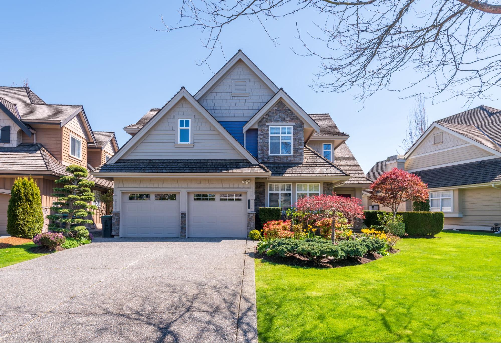
Buying or Selling a Home
When you buy or sell a home, a current survey provides clarity for everyone involved. Lenders and title companies often require a survey to confirm that the house and other improvements sit within the property lines, there are no major encroachments, and easements are accurately shown so buyers understand any shared access or utility rights.
A recent, accurate survey can prevent last-minute issues at closing. It also gives buyers confidence that they know exactly what they are paying for.
Adding Fences, Pools, Driveways, or Additions
Many residential projects seem simple until a setback or property line issue appears. Before you invest in a new fence, backyard pool, room addition, or widened driveway, it is wise to bring in a professional land surveyor. We confirm your property boundaries, apply local setback requirements, and show any easements that limit where you can build.
This helps you avoid building over the line or too close to it, which can lead to conflicts with neighbors or even orders to remove or modify the structure.
Resolving Boundary Disputes With Neighbors
Boundary questions can strain even good neighbor relationships. A shared fence that does not match the legal boundary, a driveway that crosses a line, or conflicting older surveys can all create tension.
In those situations, we focus on carefully researching the legal record for both properties, locating original monuments and other physical evidence, and preparing a clear, unbiased survey that can be shared with both parties. A professional land surveyor does not decide who is right based on opinion. We document the best available evidence so that owners, attorneys, or the courts can resolve the issue based on accurate information.
Build Smarter on Land and Development Projects

Larger properties and development projects introduce more variables than a typical house lot. In South Texas, this often involves agricultural land, ranches, subdivisions, and new commercial or industrial sites.
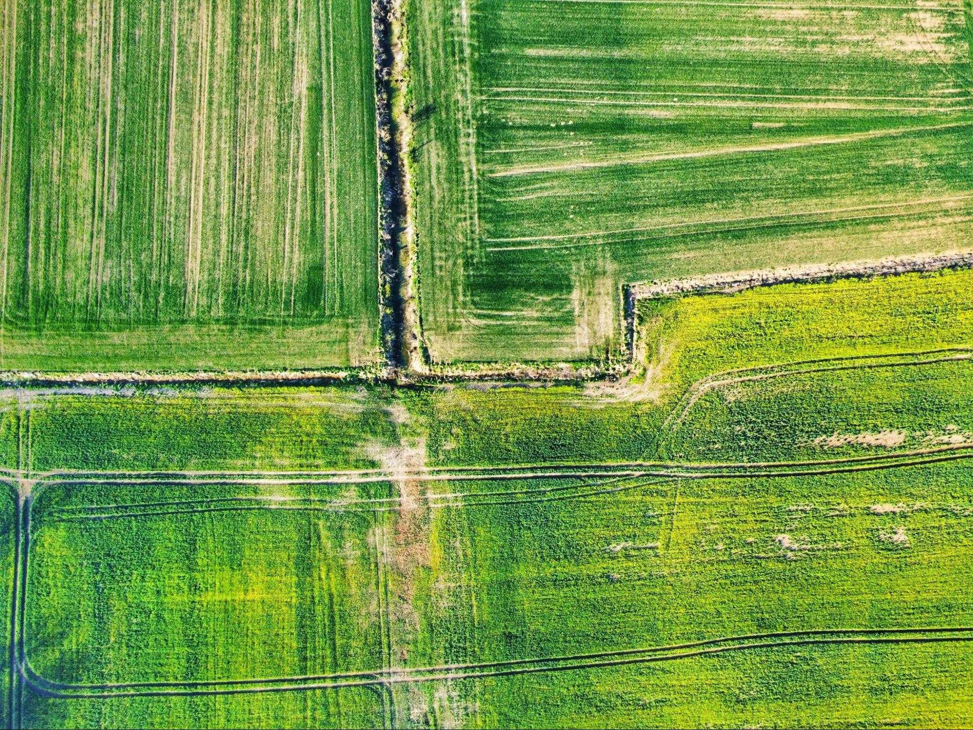
Evaluating Rural Tracts, Ranches, and Acreage
On rural land, property lines may follow old fences, rivers, or section lines that have changed over time. Deeds might reference trees, posts, or landmarks that no longer exist.
A professional land surveyor helps you confirm the size and shape of the acreage you want to buy or sell, identify access points, easements, and possible encroachments, and understand how boundaries interact with roads, canals, or neighboring ranches.
Planning Subdivisions, Commercial Sites, or New Construction
For developers, engineers, builders, and investors, surveying is part of almost every stage of a project. We typically assist with boundary and topographic surveys for initial design, lot layout and staking for subdivisions, construction staking for buildings, utilities, and paving, and as-built surveys to document what was built for final approvals.
Accurate survey work keeps the project aligned with the plans and with city or county requirements. It helps reduce rework, change orders, and delays triggered by layout errors.
Working With Floodplains, Easements, and Right of Way
Across South Texas, many properties are affected by floodplains, drainage easements, irrigation canals, and roadway right of way. We identify and map these constraints so you know, early in the process, whether portions of your land sit in a regulated flood zone and where utility corridors or highway right of way affects your boundaries and access.
For more background on how surveys support engineering and planning, you can browse our blog and explore specific survey types in more detail.
Frequently Asked Questions
What happens after I hire a professional land surveyor?
Most surveys follow a clear sequence: we review your goals, collect and study deeds and plats, perform field work, process the data, prepare maps and legal descriptions, and deliver final survey documents.
How can I help make the survey process smoother?
Share any deeds or prior surveys you have, let us know about known boundary concerns, provide access to all parts of the property, and move vehicles away from suspected boundary corners when possible.
What factors affect survey time and cost?
Property size, terrain and vegetation, complexity of the legal description, type of survey required, and distance from major roads all influence the timeline and price. At Southpoint Texas Surveying, we balance accuracy with quick response so your project can move forward without unnecessary waiting.
What questions should I ask before hiring a land surveyor?
Ask if they are a licensed professional land surveyor in the State of Texas, how long they have been surveying in South Texas, whether they have worked on properties similar to yours, what type of survey they recommend for your situation, and what you will receive at the end of the project.
What are red flags when choosing a land surveyor?
Watch out for no proof of current Texas licensure, vague written scope of work, unwillingness to explain the survey process, and quotes that are far below others without a clear reason.
How can I get started with Southpoint Texas Surveying?
If you are ready to discuss a specific property or simply have questions, you can reach out to our team and we will be glad to talk through your options.
Conclusion
A professional land surveyor plays a quiet but crucial role in nearly every real estate and construction decision. From confirming the boundaries of a South Texas home lot to mapping a large ranch or planning a commercial development, accurate surveys protect property rights, reduce uncertainty, and help projects move forward with confidence.
At Southpoint Texas Surveying, we combine licensed expertise with local knowledge of the Rio Grande Valley and surrounding communities. Our goal is to give you clear information so you can make informed decisions about buying, selling, or building.
If you would like to understand which type of survey fits your situation, contact us to discuss your property. With the right professional land surveyor on your side, you can approach your next property decision with clarity and peace of mind.