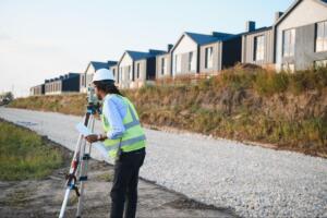
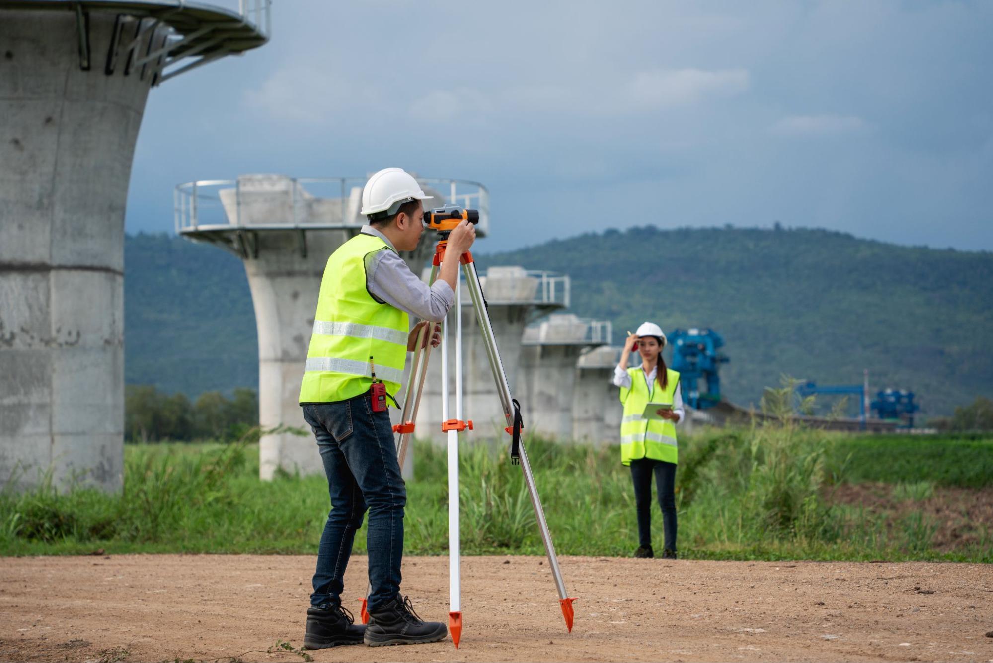
Real estate development projects often run into trouble long before the first wall goes up. A misplaced boundary. An unmarked utility line. A grading issue that should have been caught months earlier. Early, precise land surveying helps prevent those headaches and sets the tone for long-term real estate development success.
In this expert roundup, industry leaders share how early surveying:
- Prevents costly boundary disputes
- Reduces construction delays from avoidable surprises
- Improves drainage, grading, and site planning
- Supports smarter land investment and underwriting decisions
Their insights make one thing clear: accurate measurement at the beginning saves time, money, and reputation at the end
Precision Survey Tools Prevent Disputes, Delays, and Bad Investments
When boundary disputes surface mid-project, they rarely stay small. They escalate into legal fees, redesigns, and stalled timelines.
Lisa Reeves, President of Environmental Equipment and Supply, sees firsthand how precision tools reduce that risk:
“Leading a team that supports over 500 environmental and engineering firms annually, I’ve seen how precision tools like the Trimble GeoXH GPS eliminate boundary disputes by establishing indisputable, high-accuracy property markers. Establishing these coordinates early ensures that development stays within legal limits, preventing the litigation that often stalls projects for years.
We avoid construction delays by providing contractors with GPR systems like the GSSI StructureScan Mini to map subsurface obstructions before any drilling or coring begins. Identifying buried utilities or structural rebar proactively prevents the ‘surprises’ that lead to emergency work stoppages and massive repair costs.
Smarter land investment requires seeing what’s beneath the surface, which is why we utilize borehole cameras like the Well-Vu 500FE to inspect well integrity and groundwater conditions. This data allows investors to identify hidden environmental liabilities or site limitations during due diligence, ensuring the property can actually support the intended development.”

Lisa Reeves, President
LinkedIn, Environmental Equipment and Supply
Her point is practical. Surveying is not just about drawing lines on a map. It is about removing uncertainty. When developers confirm exact boundaries, underground conditions, and environmental constraints early, they protect both their timeline and their capital.
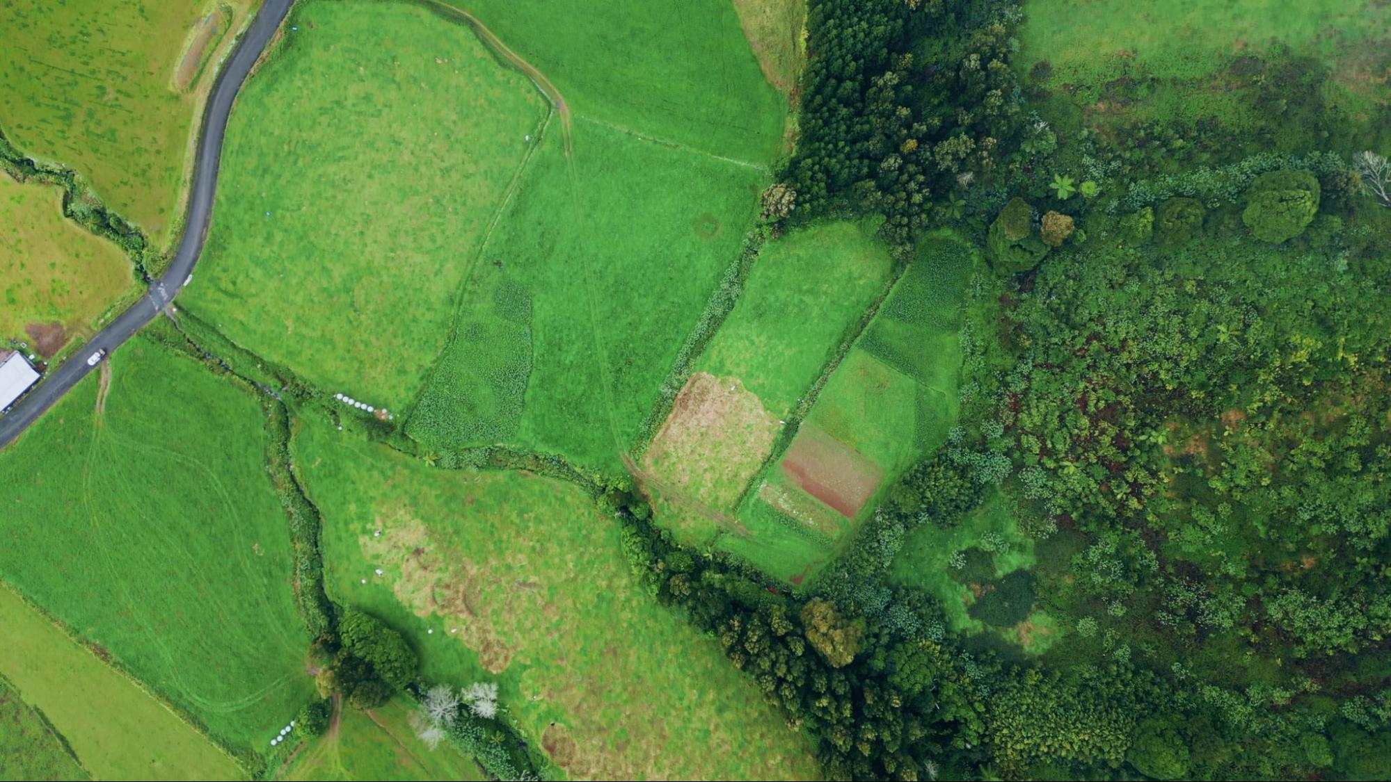
Early Topographical Surveys Reduce Delays and Raise Property Value
Topographical data often determines whether a project runs smoothly or turns into a rework cycle.
Clay Hamilton, President of Grounded Solutions, explains:
“With over 20 years leading Patriot Excavating in site development and excavation across Indiana, I’ve overseen countless projects where early topographical surveying set the stage for success.
Precise land surveying prevents boundary disputes by mapping exact elevations and contours upfront, ensuring grading aligns with property lines and avoids encroachments during land clearing–saving us litigation costs in a recent commercial site prep.
It avoids construction delays through accurate drainage planning from survey data, like when we used topo maps to optimize cut-and-fill ratios, eliminating over-grading rework that typically adds 2-4 weeks.
For smarter investments, surveys reveal soil stability via integrated testing, spotting erosion-prone slopes early; one residential development we prepped doubled its value post-grading by confirming long-term foundation viability.”
 Clay Hamilton, President
Grading mistakes can quietly drain budgets. Over-cutting, poor drainage planning, or unstable soil often lead to expensive corrections. Early topo surveys help teams design around real conditions instead of guessing. That shift alone can protect weeks on the schedule and significantly increase long-term land value.

Accurate Surveys Clarify Boundaries and Guide Confident Investment
Clarity at the beginning builds confidence throughout the project lifecycle.
Mr Vishant Tomar, Director of TSS INFRATECH INDIA LLP, shares:
“As a firm dedicated to producing quality land projects, TSS INFRATECH INDIA LLP believes in early Identification of land and the appropriate boundaries where any development will take place. TSS INFRATECH INDIA LLP views accurate land surveying as more than just a technical formality; it is our professional obligation to ensure that the boundaries of the property we have defined are clearly marked to require less future legal disputes or complications. For this reason, when we have correct foundational data, this enables our client’s and investors’ entire development process to be completed with absolute clarity.
In addition, having survey data before construction starts gives us practical site awareness, including the ground levels, slope, drainage pattern, access points, and adjacent infrastructure. Hence, our respective project planning and project execution teams will design in accordance with data rather than making assumptions. Consequently, projects will experience less than anticipated changes, controlled costs, and improved time management.
In terms of making investment decisions, appropriate assessments will allow for early identification of risks associated with the properties on which funds will be invested. These potential risks could include land encroachment, regulatory restrictions, or physical limitations of the site; therefore, property awareness at the point of making an investment assists the investor in arriving at informed and confident decisions.
TSS INFRATECH INDIA LLP has consistently witnessed that soundly developed projects are constructed more expediently; they will often experience fewer interruptions in construction and produce greater value in the long term. Consequently, at TSS INFRATECH INDIA LLP, we believe that the first step in constructing a successful real estate project is accurate measurement of the land where you will build and defining the appropriate boundaries.”

Mr Vishant Tomar, Director
LinkedIn, TSS INFRATECH INDIA LLP
His perspective reinforces a consistent theme. Good data reduces guesswork. When teams design with full awareness of slopes, access, infrastructure, and restrictions, they avoid expensive redesigns later.
Early Boundary Surveys Streamline Development and Underwriting
Early surveying also strengthens the financial side of development.
Kuldeep Kundal, Founder & CEO of CISIN, explains:
“A reliable source of truth regarding a new development is established through the early, accurate survey of land. Determining the precise location of property lines, property corners, easements, rights-of-way, encroachments, and other boundaries before beginning design work will reduce the chances for future disputes over boundary lines. Having identified potential issues early, you can address them while you still have negotiating power, before design is complete or financing secured, giving you ample opportunity to modify designs, reach mutually agreeable terms with adjacent property owners or acquire necessary easements, ultimately preventing future litigation.
Accurate surveys also help eliminate construction delays due to unexpected design changes triggered by boundary line conflicts, misplaced utilities, or unanticipated grading or drainage issues; avoiding such surprises also prevents additional costs associated with obtaining re-permits and issuing change orders. From an investment perspective, survey-grade boundary and topographic data supports improved underwriting by providing the development team with an accurate assessment of the gross land area available and real site costs. Consequently, developers are better equipped to make intelligent yes or no decisions as to whether they can develop a property based upon what will actually fit on the site vs. using incorrect assumptions.”

Kuldeep Kundal, Founder & CEO
When lenders and investors review a deal, assumptions create risk. Survey-grade data replaces assumptions with facts. That makes underwriting cleaner and development decisions stronger.
Final Takeaway: Measure First, Build Smarter
Across all four perspectives, the message is consistent. Early, precise land surveying is not a formality. It is the foundation of long-term real estate development success.
It prevents boundary disputes before they turn into lawsuits. It reduces construction delays caused by hidden utilities or grading errors. It supports smarter land investment decisions with real, defensible data.
Developers who measure first build with confidence. And in real estate development, confidence backed by accurate information is what protects both timelines and returns.